© EVAdinarica Project - EVA dinarica

© EVAdinarica Project - EVA dinarica

© EVAdinarica Project - EVA dinarica

© EVAdinarica Project - EVA dinarica

© Unbekannt - Sanbina Sirco

© EVAdinarica Project - EVA dinarica

© Unbekannt - EVA dinarica

© EVAdinarica Project - EVA dinarica

© EVAdinarica Project - EVA dinarica

© EVAdinarica Project - EVA dinarica

- Kratak opis
-
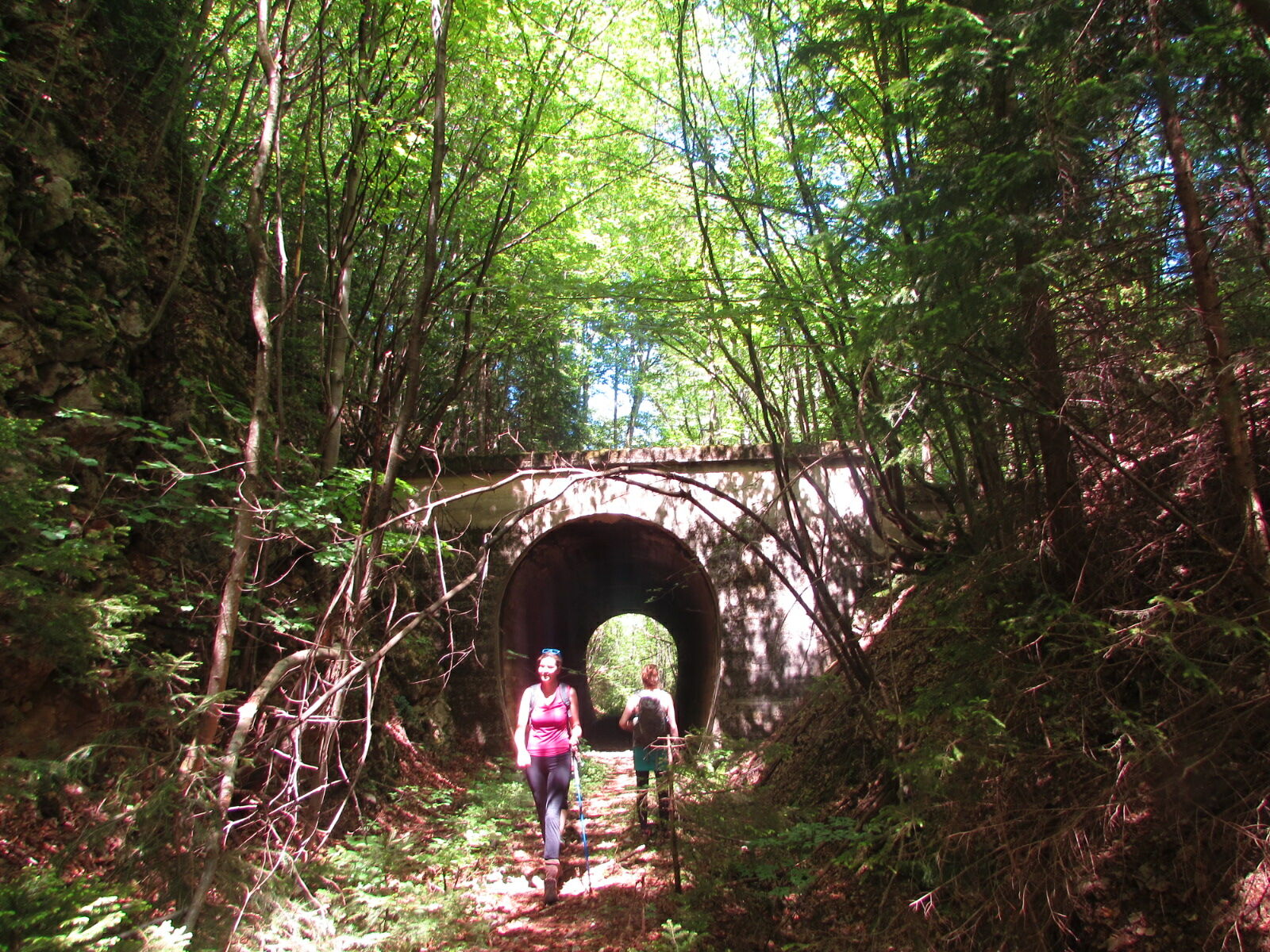
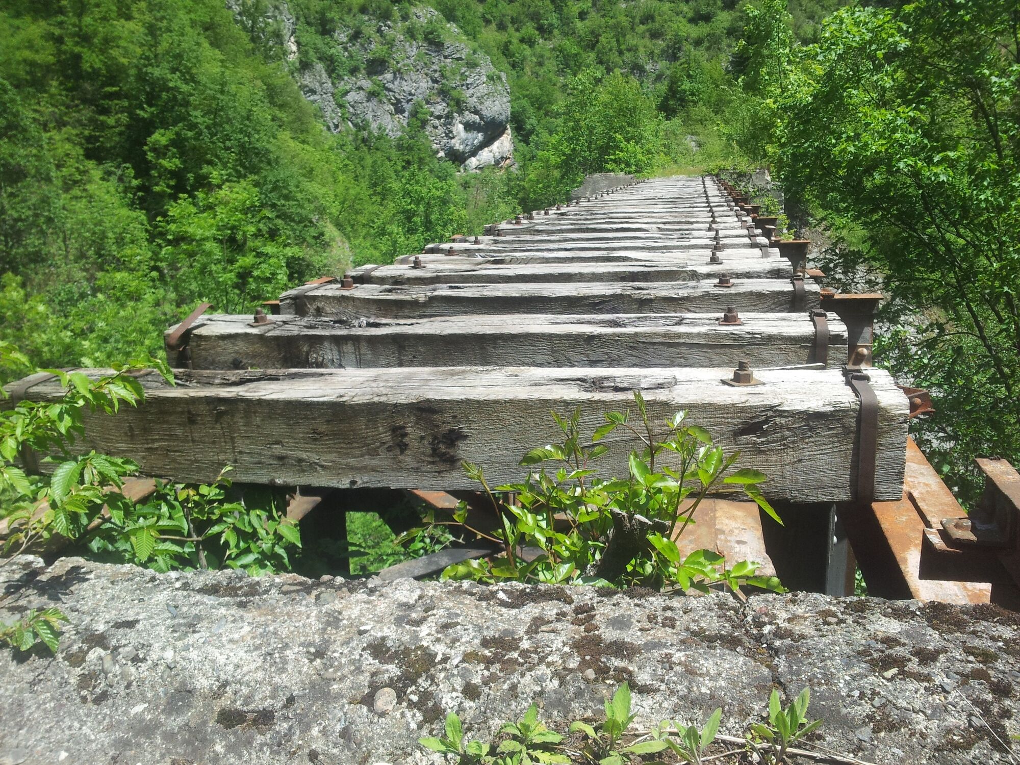
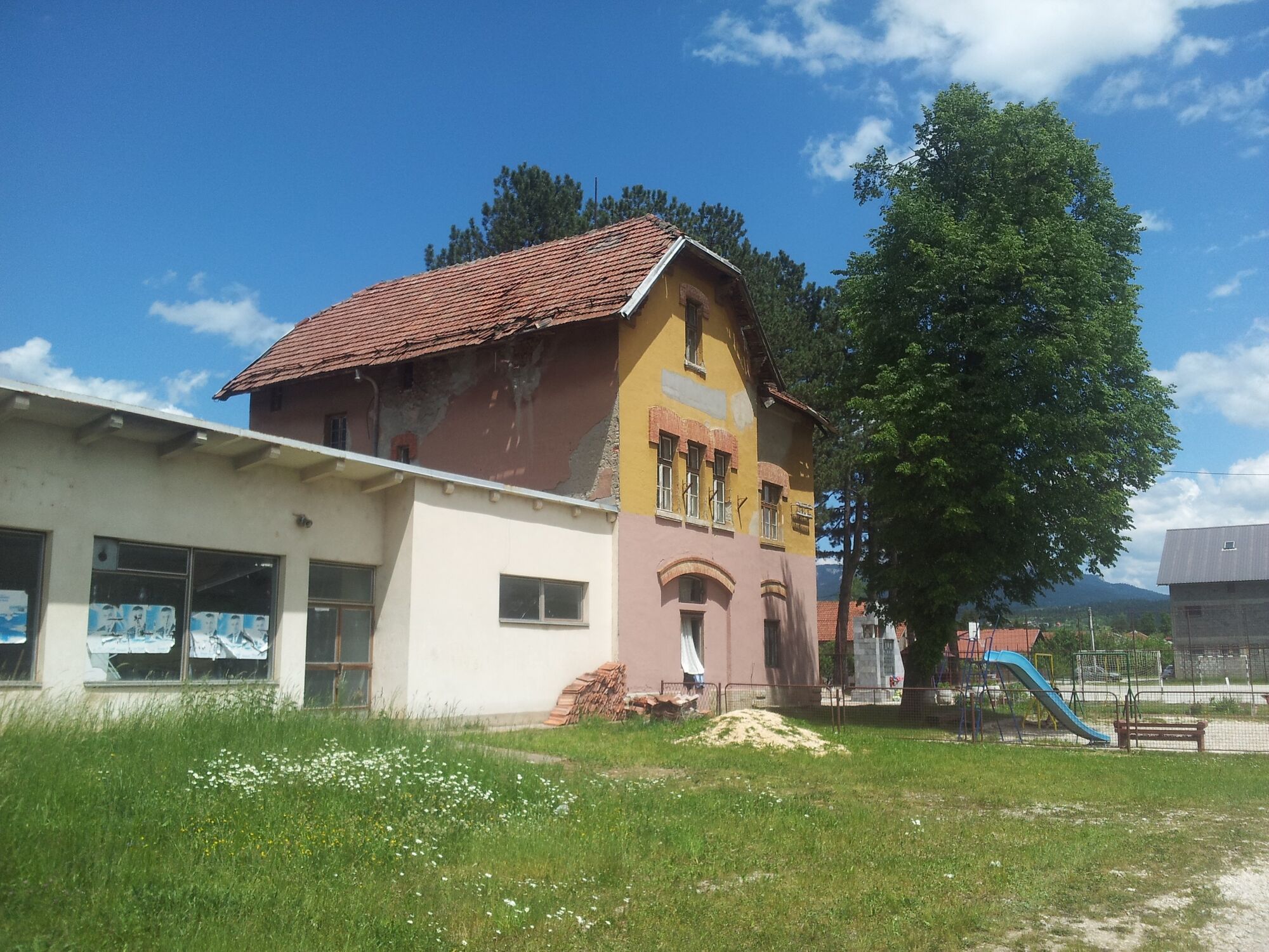
The Cirina Trail (Ćirinom Trasom) is a hiking path along the old railway. A great walk on Trebević mountain..
- Teškoća
-
srednje
- Vrednovanje
-
- Wegverlauf
-
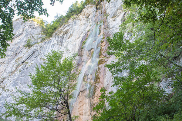
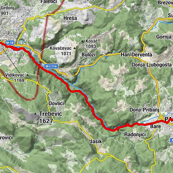
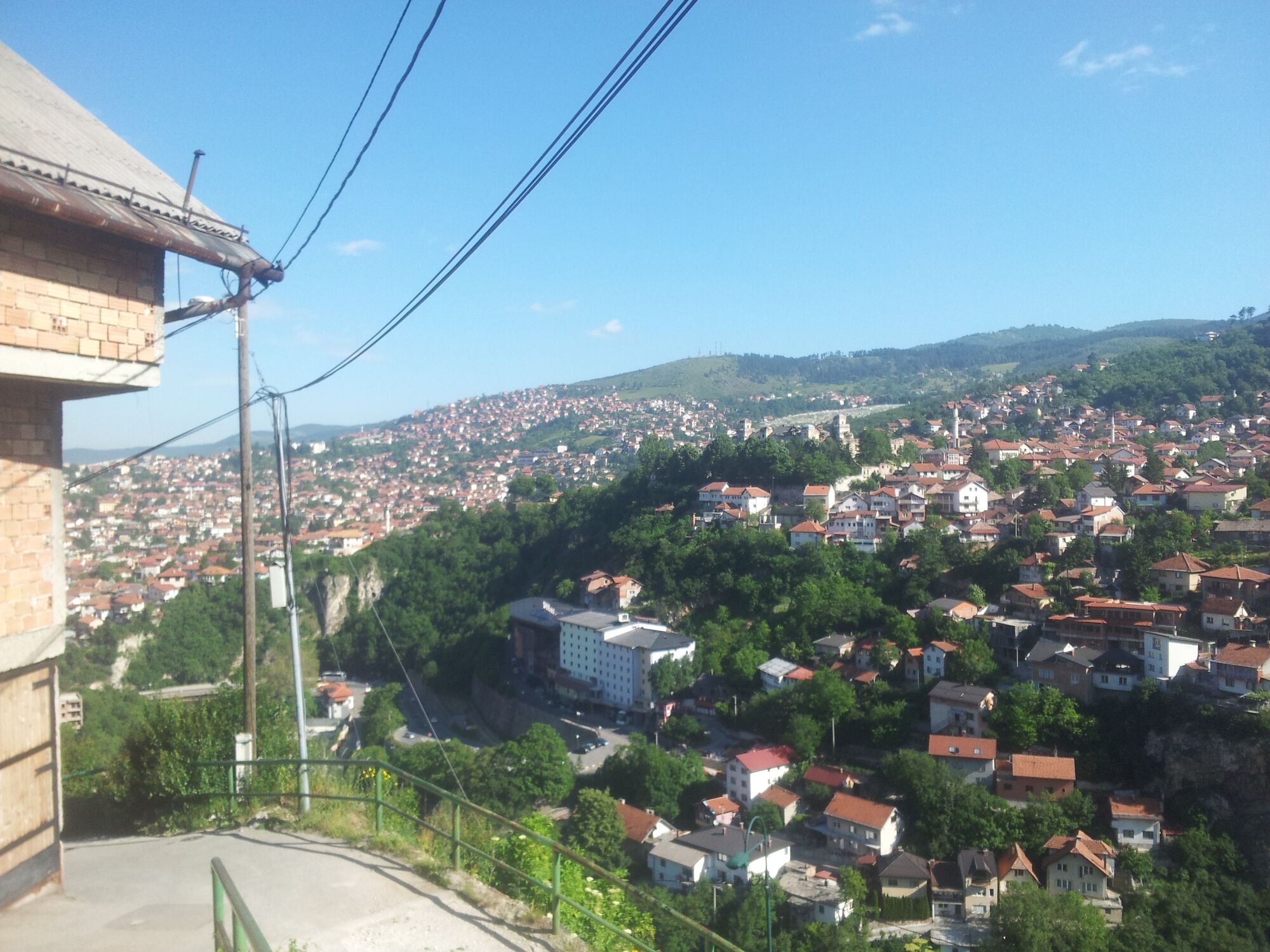
Baščaršija0,0 kmSarajevo0,0 kmHadžijska džamija0,1 kmBabića bašča0,2 kmJarčedoli2,4 kmVodopád10,0 kmBare15,9 kmSidney17,2 kmPale17,3 km
- Beste Jahreszeit
-
sijveljožutrasvilipsrpkolrujlisstupro
- Höchster Punkt
- 889 m
- Zielpunkt
-
Pale
- Höhenprofil
-
 © outdooractive.com
-

-
AutorDie Tour Hiking from Sarajevo to Pale wird von outdooractive.com bereitgestellt.
GPS Downloads


Opće informacije
Kulturell/Historisch
Aussichtsreich