

© Terra Dinarica - Adnan Bubalo

© Terra Dinarica - Elma Okic

© Terra Dinarica - Elma Okic

© Terra Dinarica - Elma Okic

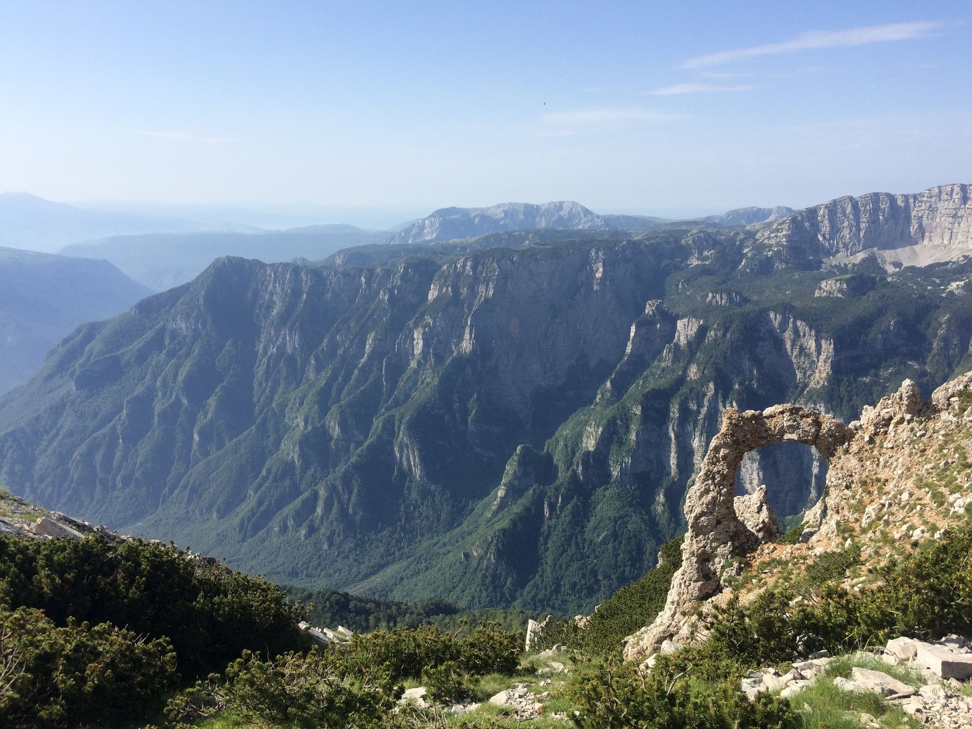
© Terra Dinarica - Elma Okic

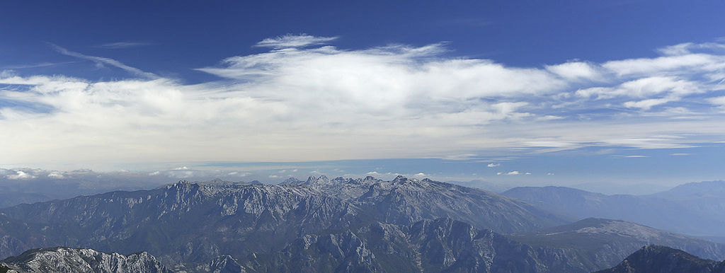
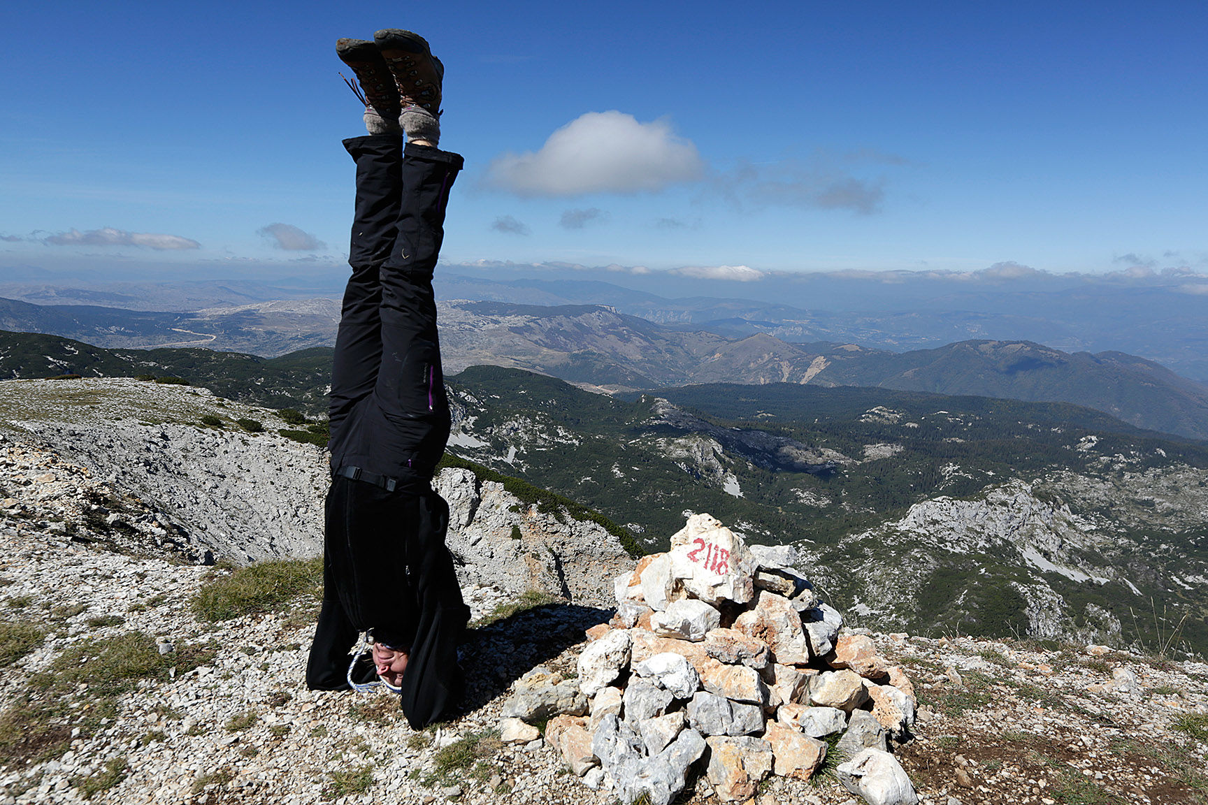
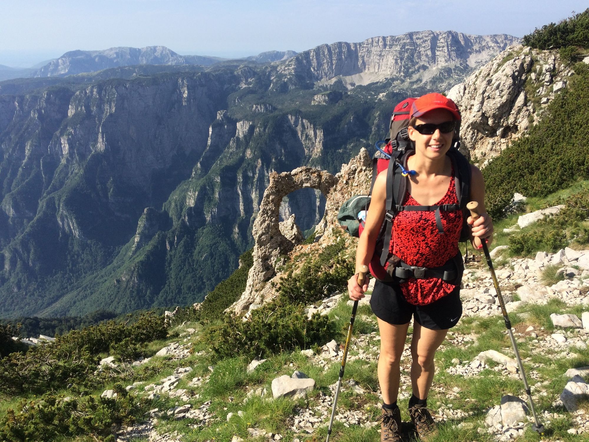
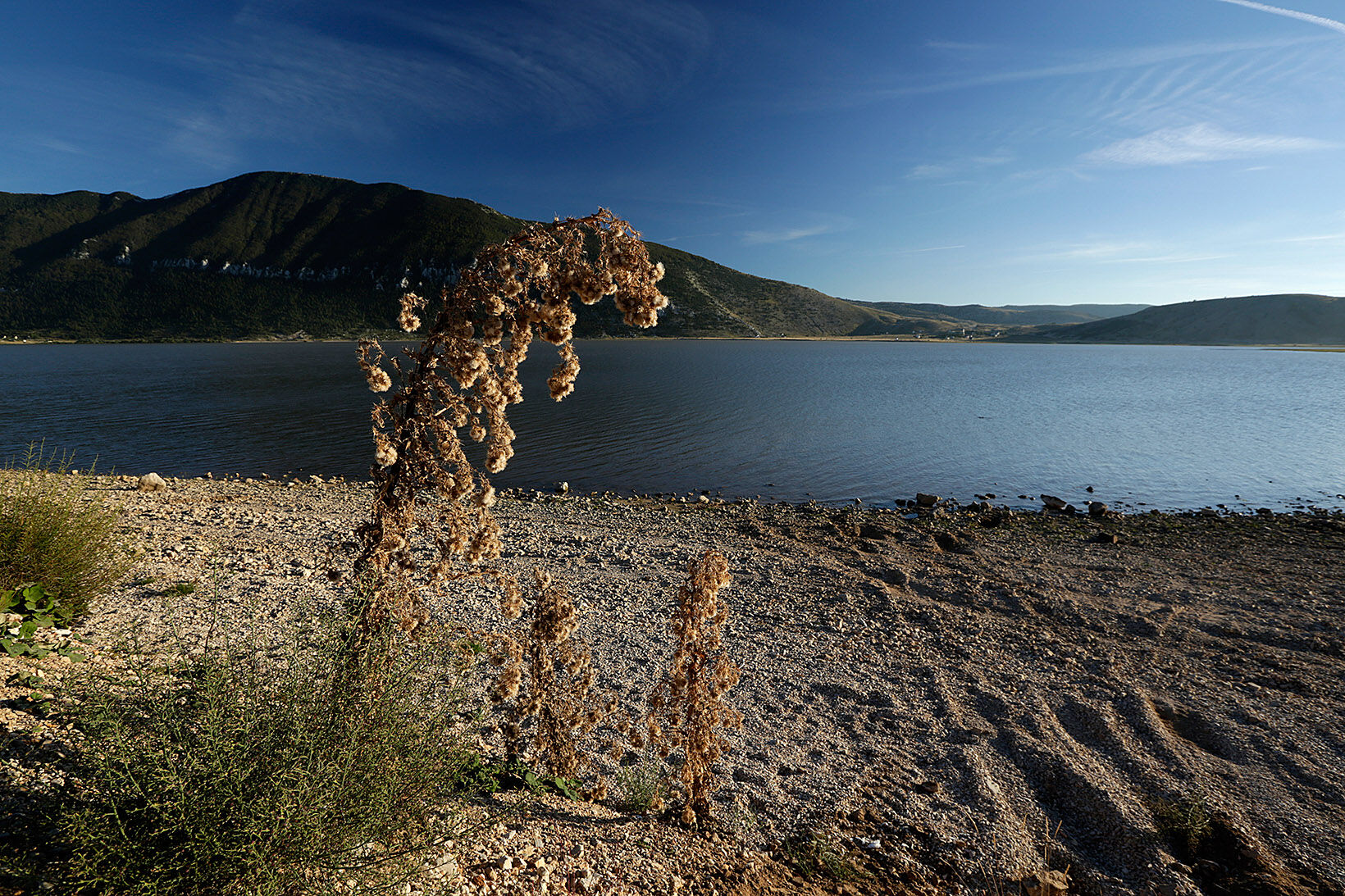
© Terra Dinarica - Olja Latinovic

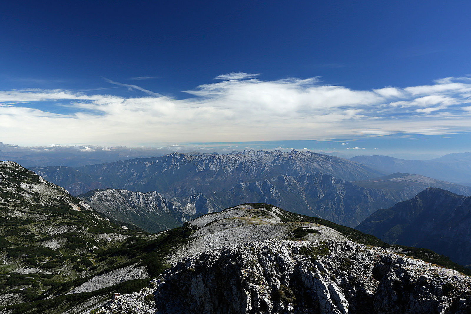
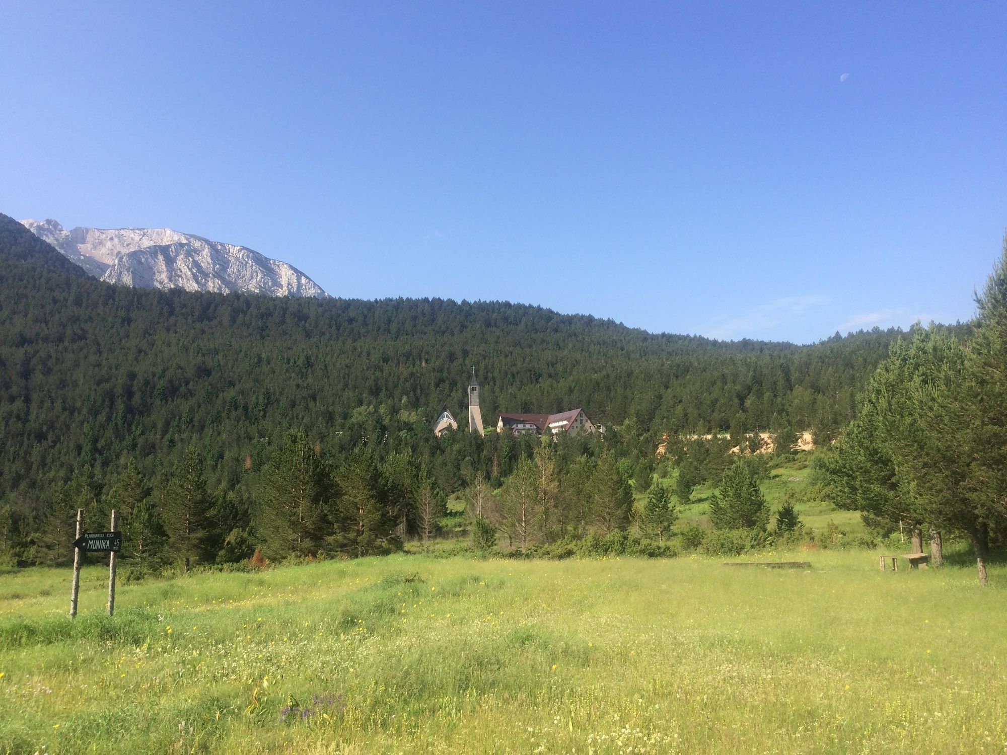
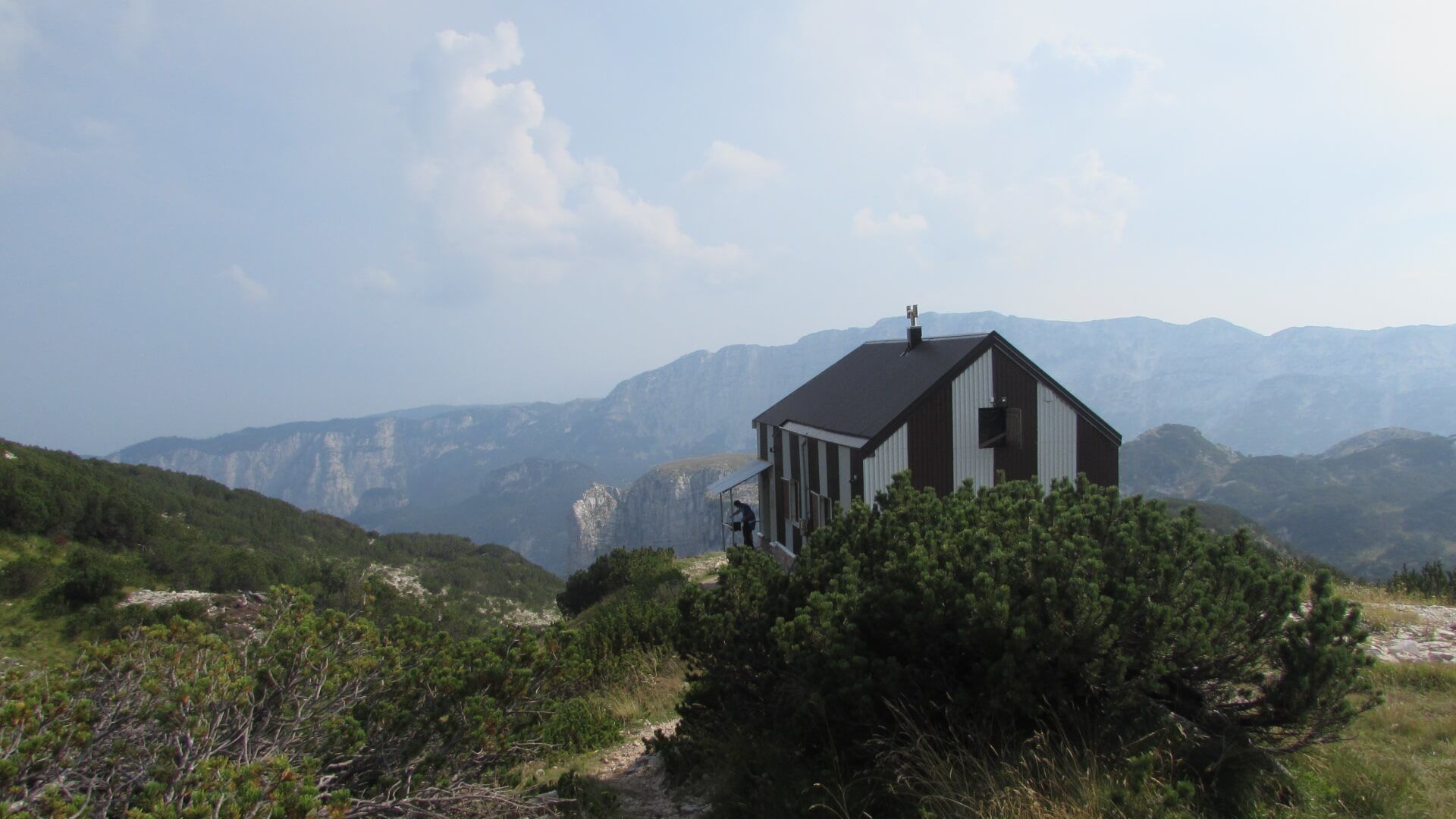
© Terra Dinarica - Olja Latinovic

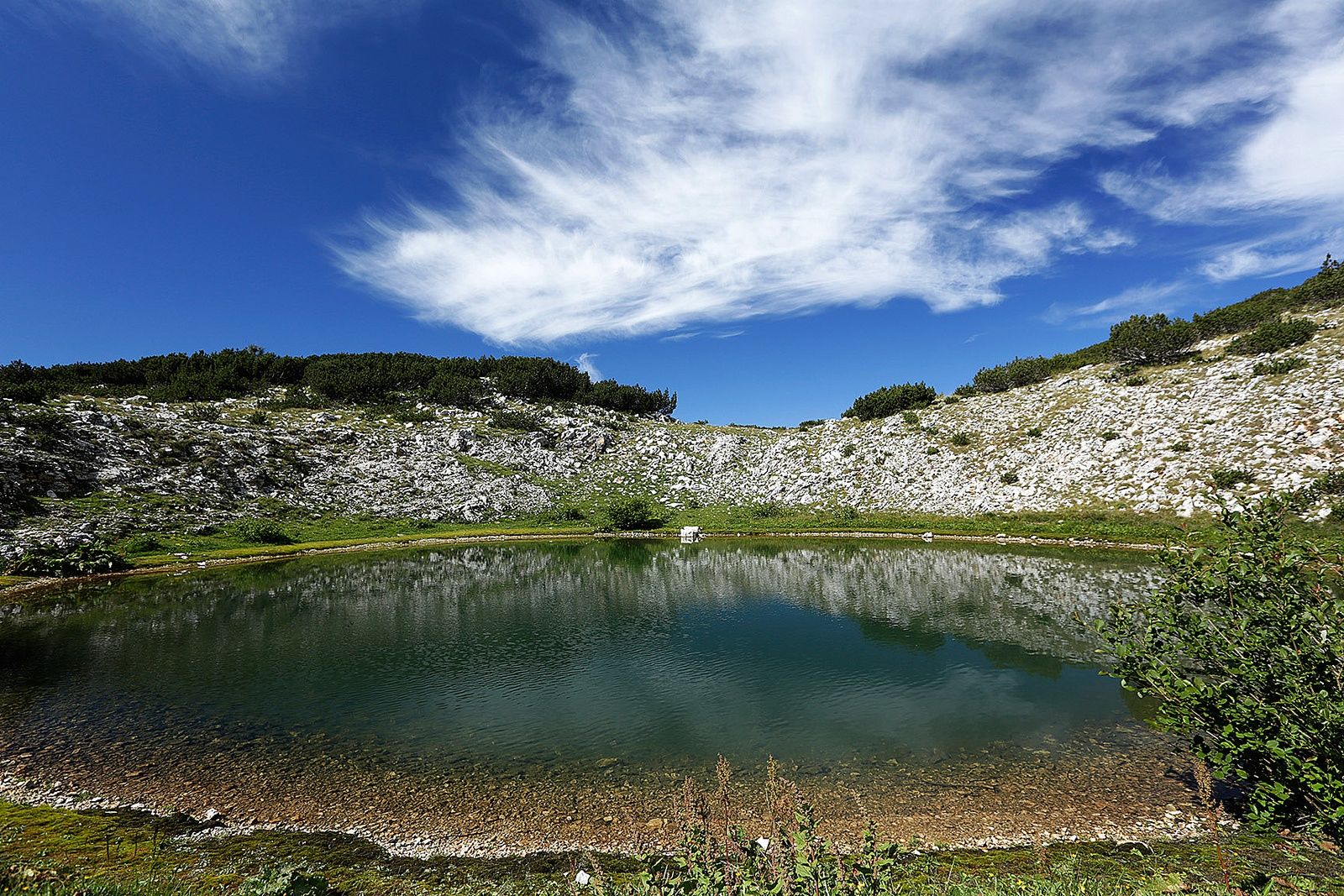
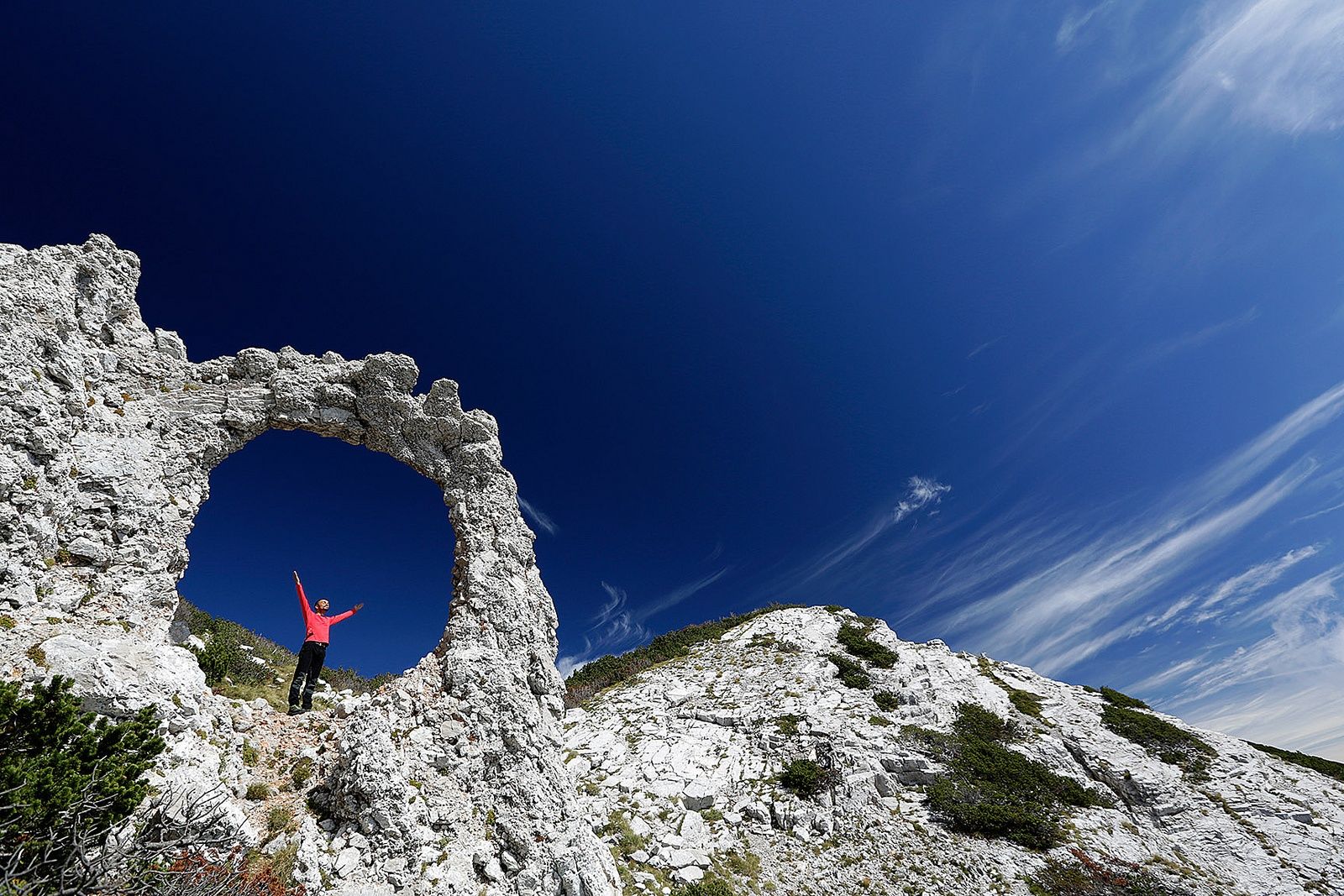
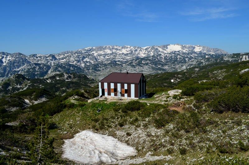
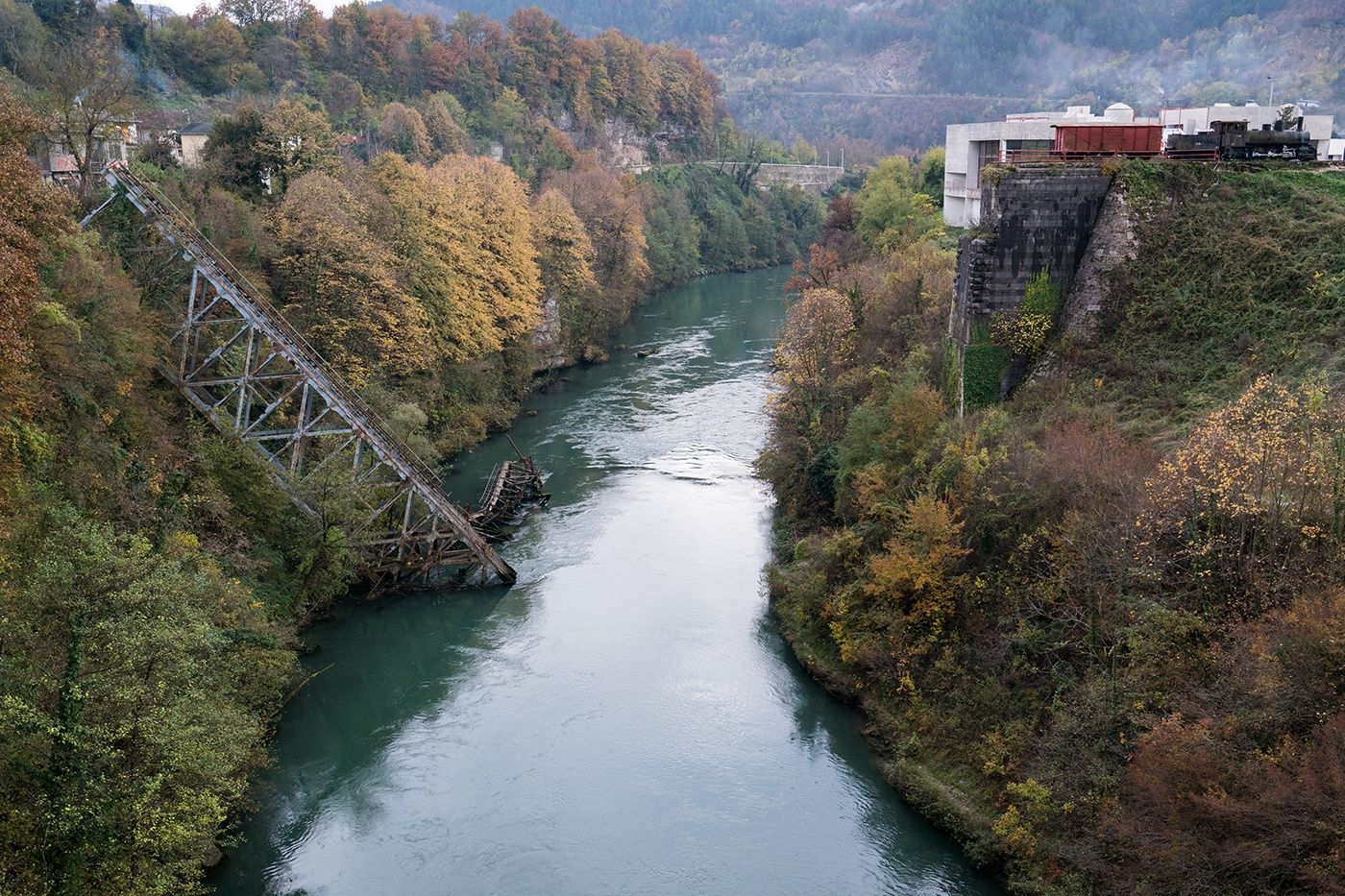
© Terra Dinarica - Elma Okić

© http://www.abcportal.info/Slike/0x0/cvrsnica-0611614.jpg - abcportal.info

© https://www.facebook.com/pdplasa?fref=photo - fb.MC Plasa

- Kratak opis
-
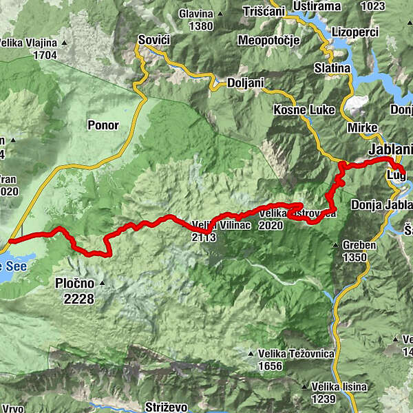
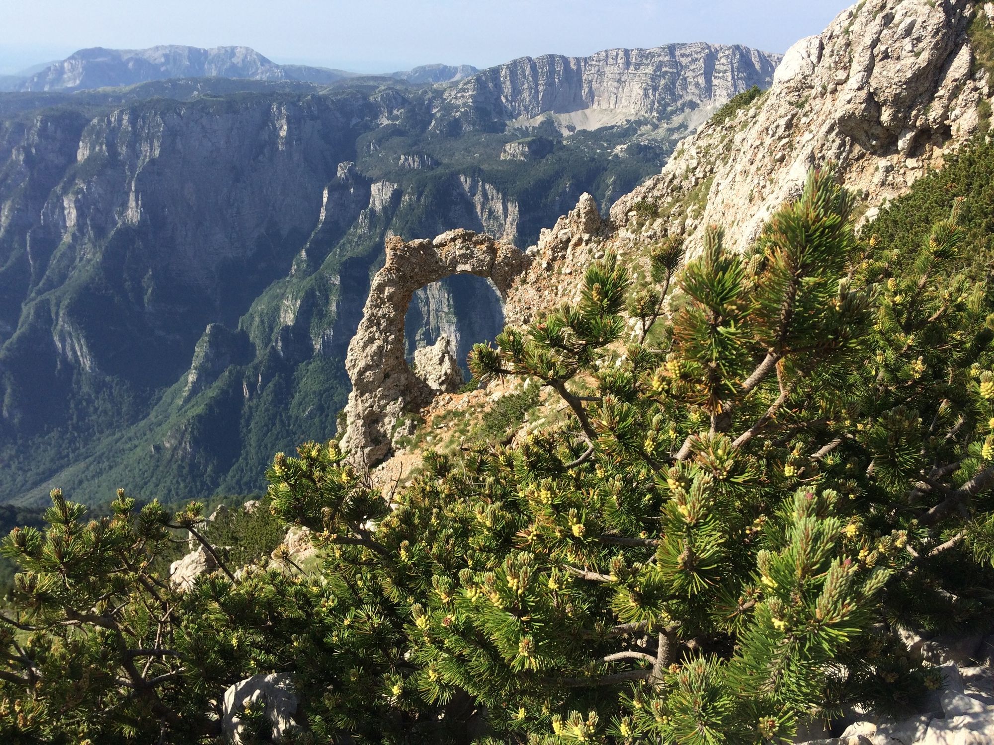
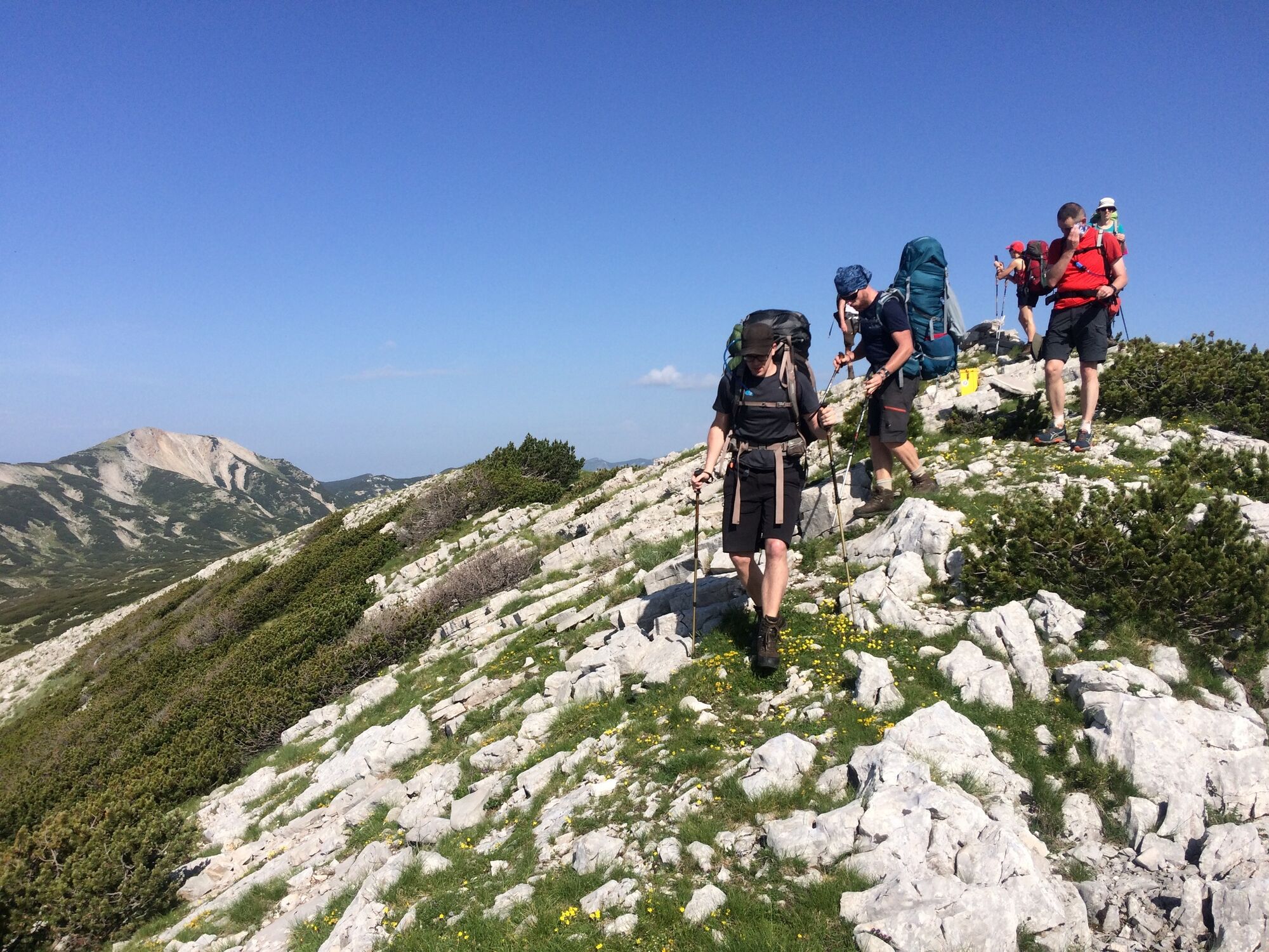
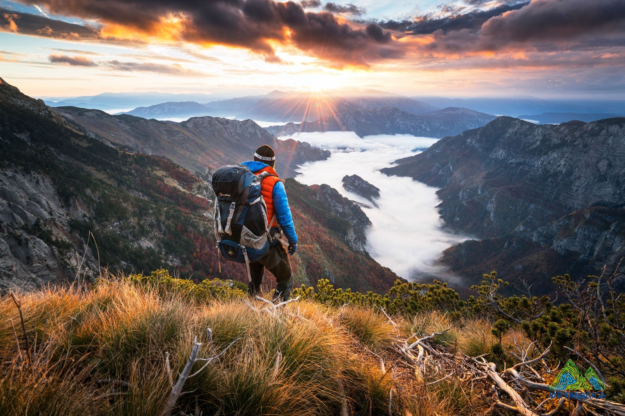
The great hike over Cvrsnica, the highest Herzegovinian mountain. The trail follows Vilinac and Trinjaca ridge and descends to Jablanica city from the Plasa plateau.
- Teškoća
-
teška
- Vrednovanje
-
- Wegverlauf
-
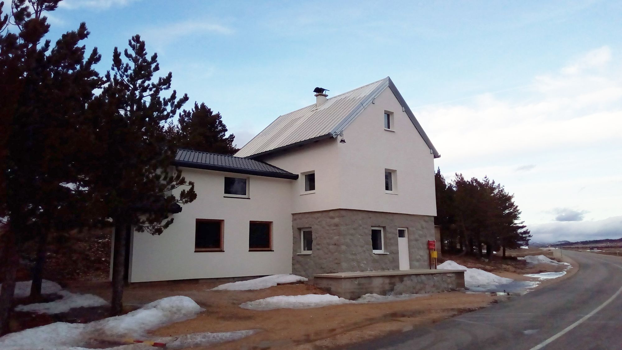
Veliki Vilinac (2.113 m)13,4 kmHajdučka vrata (2.000 m)17,3 kmDrinača / Trinjača (2.038 m)17,6 kmVelika Oštrovača (2.020 m)18,3 kmPl. dom Plasa22,3 kmZlate32,4 kmBaćina33,4 kmJelačići33,8 kmJablanica34,0 kmCaffe Pizzeria Restaurant "Viva"34,7 kmLug35,4 km
- Beste Jahreszeit
-
sijveljožutrasvilipsrpkolrujlisstupro
- Höchster Punkt
- 2.097 m
- Zielpunkt
-
Jablanica city
- Höhenprofil
-
 © outdooractive.com

-
-
AutorDie Tour Via Dinarica BH-W-05 Čvrsnica mountain wird von outdooractive.com bereitgestellt.
GPS Downloads


Opće informacije
Einkehrmöglichkeit
Kulturell/Historisch
Flora
Fauna
Aussichtsreich
Weitere Touren in den Regionen
-
Herzegowina
51