
© Terra Dinarica - Olja Latinovic

- Kratak opis
-
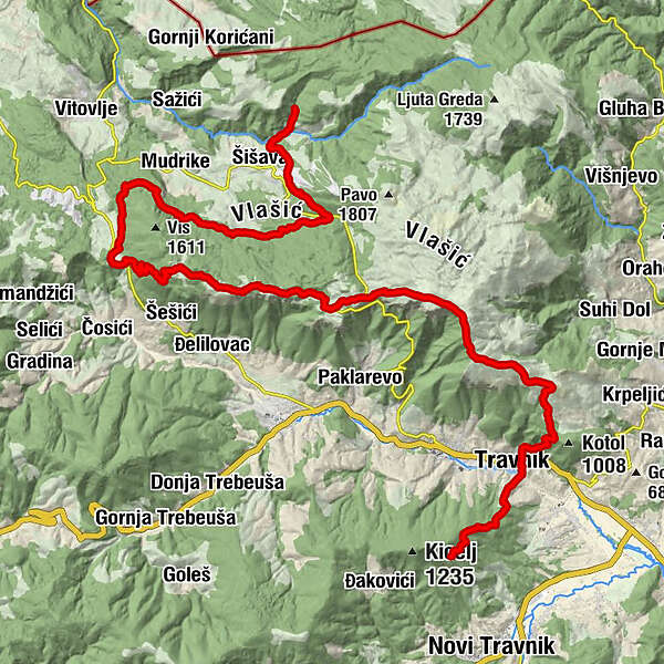
Staza koja spaja više puteva sa dvije strane Travnika.
- Wegverlauf
-
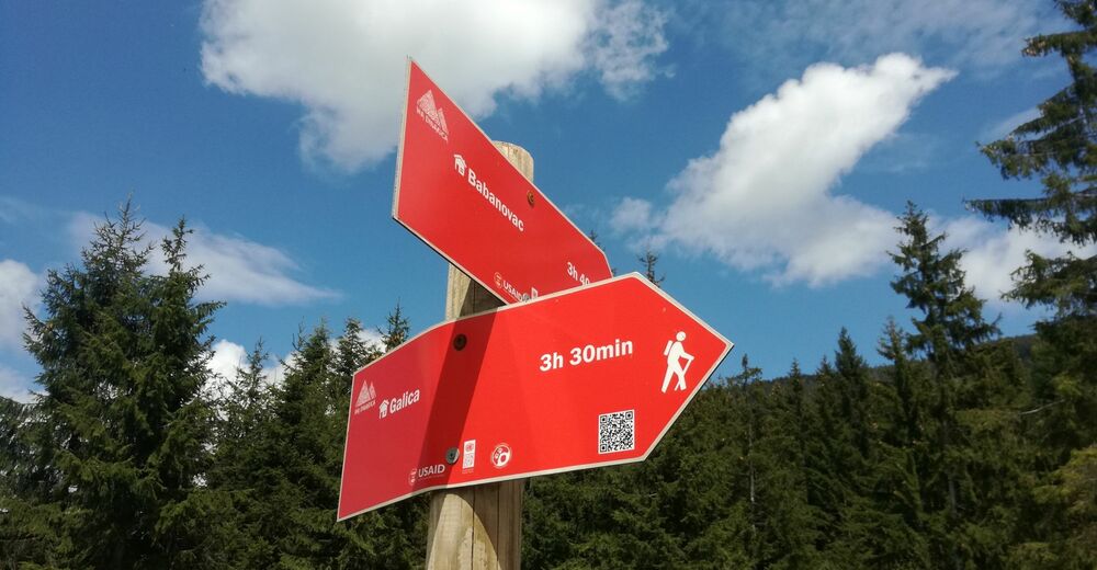
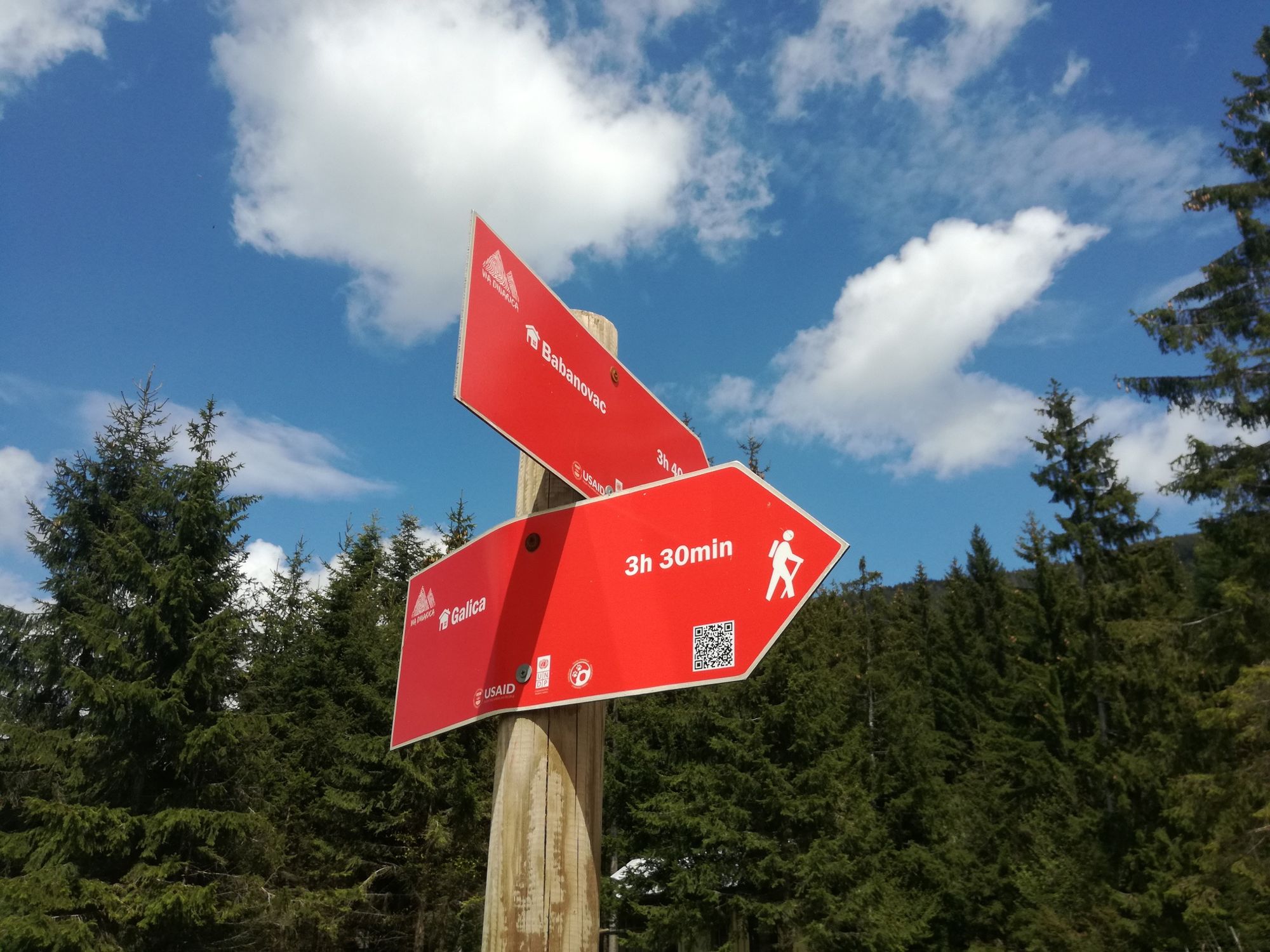
Mala Ravan1,6 kmGornja Vilenica2,7 kmVilenica3,1 kmDolac4,4 kmIlovača4,5 kmTravnik5,0 kmMusala5,2 kmVelika Bukovica8,2 kmDevečani15,8 kmGalica18,3 kmPlaninarski dom Galica19,3 kmLužnica43,3 kmBabanovac43,9 kmWaterfall Ugrić47,5 km
- Beste Jahreszeit
-
sijveljožutrasvilipsrpkolrujlisstupro
- Höchster Punkt
- 1.778 m
- Zielpunkt
-
Babanovac ili Ugrić
- Höhenprofil
-
 © outdooractive.com
-
-
AutorDie Tour BH-G Vilenica - Korićani wird von outdooractive.com bereitgestellt.
GPS Downloads


Opće informacije
Einkehrmöglichkeit
Kulturell/Historisch
Aussichtsreich