


- Kratak opis
-
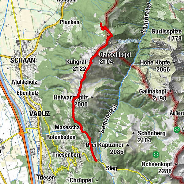
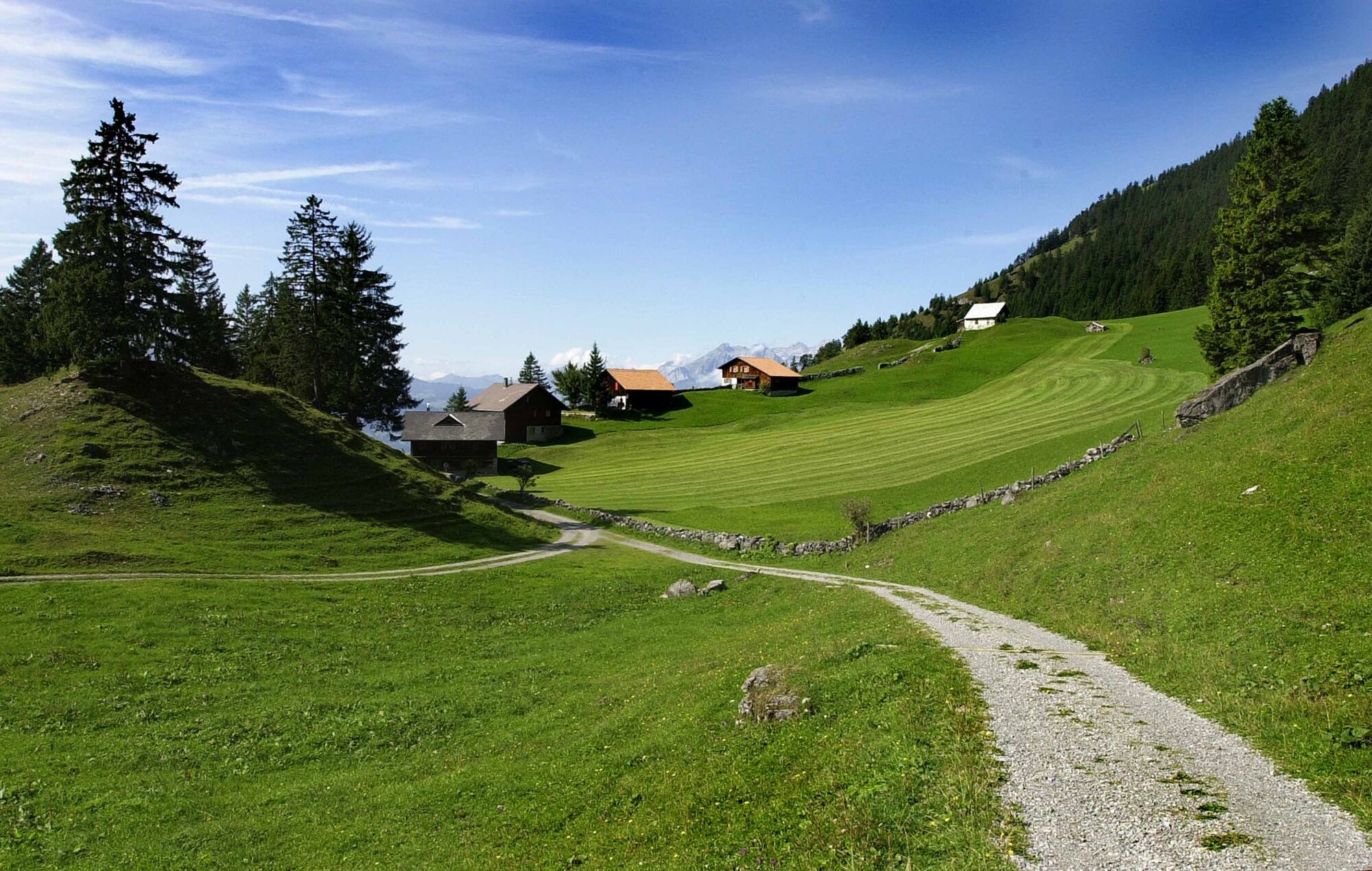
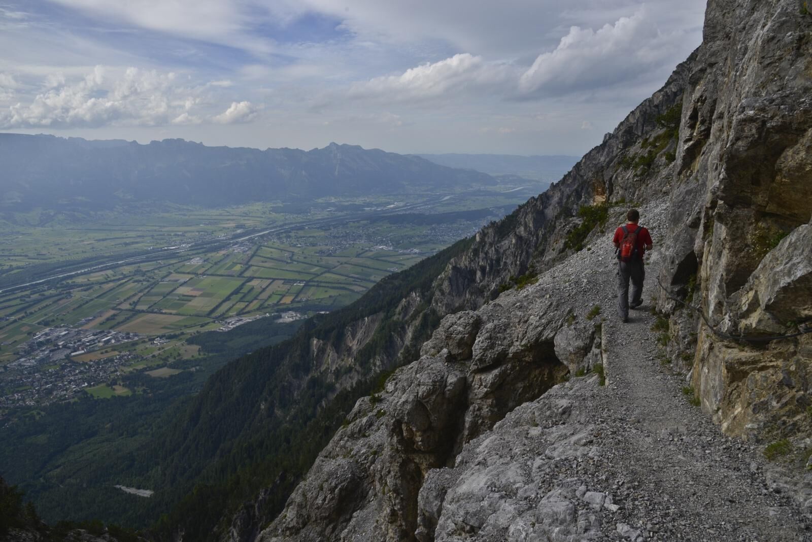
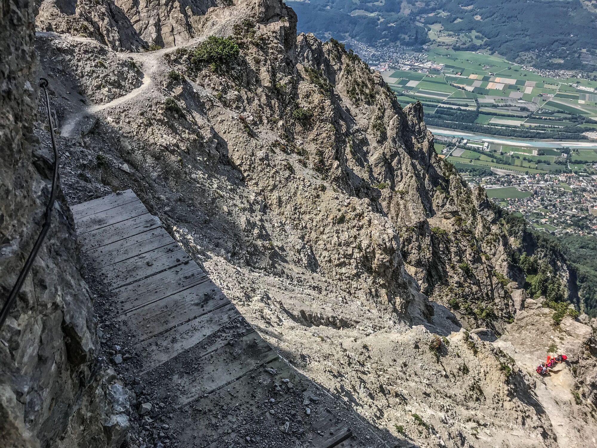
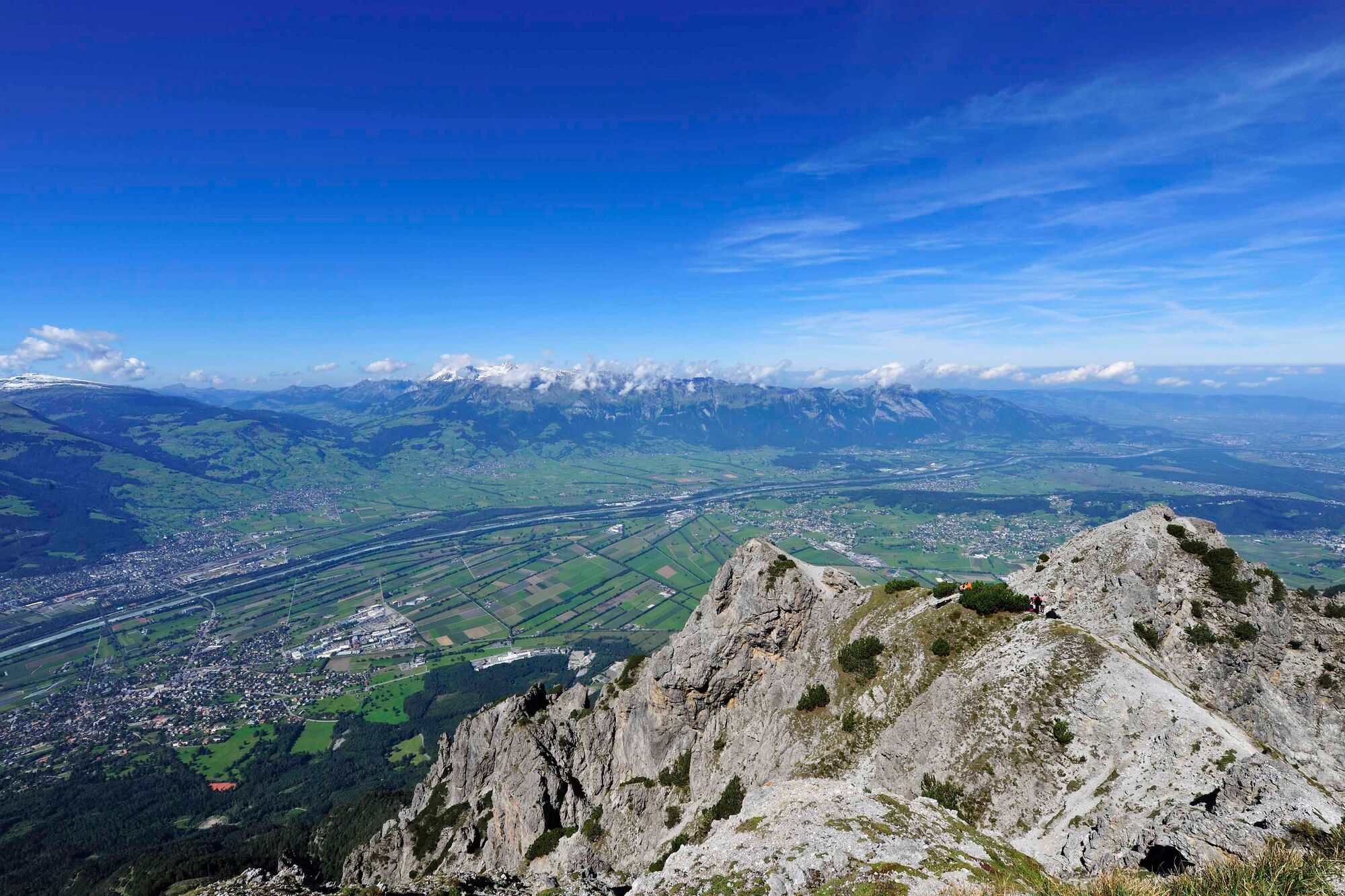
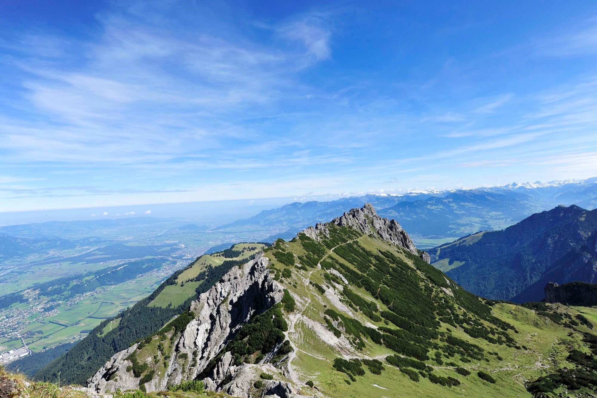
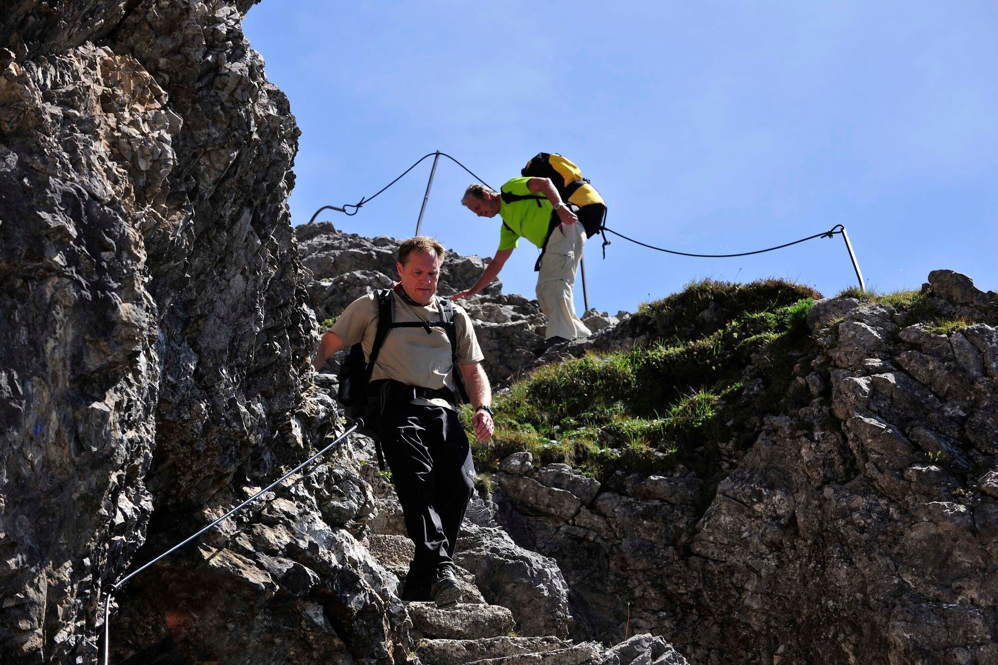
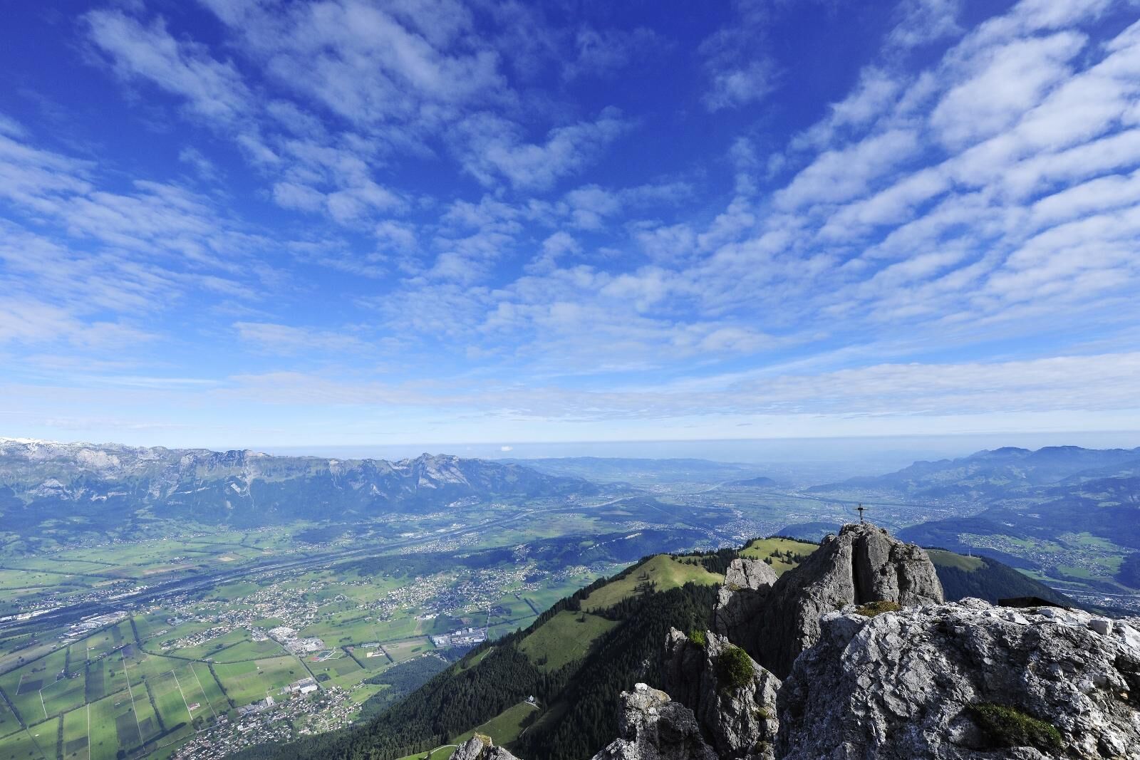
The Liechtenstein Panorama Trail (sign post 66) is a classic hike in Liechtenstein. As part of a 3 to 4 day route, it combines the experience of magnificent flower-filled mountain ridges, mountain huts, and summits with panoramic views from Rätikon to Lake Constance.
- Teškoća
-
teška
- Vrednovanje
-
- Wegverlauf
-
Silum2,0 kmKuhgrat (2.122 m)7,5 kmGarsellikopf (2.104 m)8,1 kmDrei Schwestern (2.051 m)9,2 kmWolan (2.034 m)9,3 kmJahnturm (2.034 m)9,3 kmGafadurahütte11,9 km
- Beste Jahreszeit
-
sijveljožutrasvilipsrpkolrujlisstupro
- Höchster Punkt
- 2.114 m
- Zielpunkt
-
Gafadura Hut
- Höhenprofil
-
 © outdooractive.com

-

-
AutorDie Tour Liechtenstein Panorama Trail: Stage 2 wird von outdooractive.com bereitgestellt.
GPS Downloads


Opće informacije
Einkehrmöglichkeit
Aussichtsreich
Weitere Touren in den Regionen
-
Heidiland
2201
-
Liechtenstein
1289
-
Planken
316


