


- Kratak opis
-
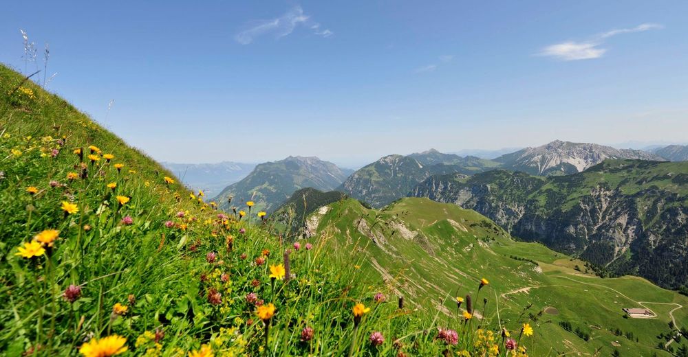
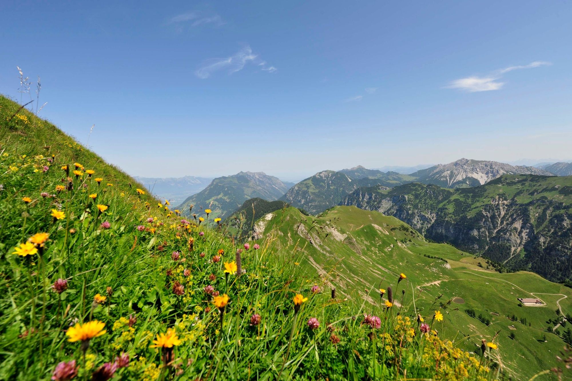
The 2nd stage leads from Steg over the Goldlochspitz into the rugged Naaf Valley. You can take a break or spend the night at the idyllic Pfälzer hut. The final section then leads via the Malbuner Täli to the mountain village of Malbun.
- Teškoća
-
teška
- Vrednovanje
-
- Wegverlauf
-
Chrüppel (1.706 m)1,9 kmKolm (1.993 m)4,3 kmGoldlochspitz (2.110 m)5,2 kmGapfahl-Obersäss (1.879 m)6,6 kmPfälzerhütte12,0 kmMalbuner Stuba17,5 kmRestaurant Walserhof17,6 kmRestaurant Gitzihöll17,6 kmMalbun17,8 km
- Beste Jahreszeit
-
sijveljožutrasvilipsrpkolrujlisstupro
- Höchster Punkt
- 2.104 m
- Zielpunkt
-
Zentrum Malbun
- Höhenprofil
-
 © outdooractive.com


- Autor
-
Die Tour Hike across Liechtenstein in 2 days, second stage wird von outdooractive.com bereitgestellt.
GPS Downloads


Opće informacije
Einkehrmöglichkeit
Flora
Aussichtsreich
Weitere Touren in den Regionen
-
Heidiland
2204
-
Liechtenstein
1287
-
Malbun
308


