- Kratak opis
-
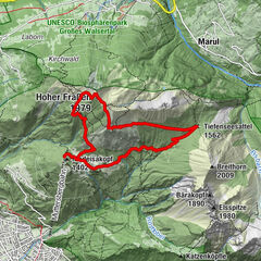
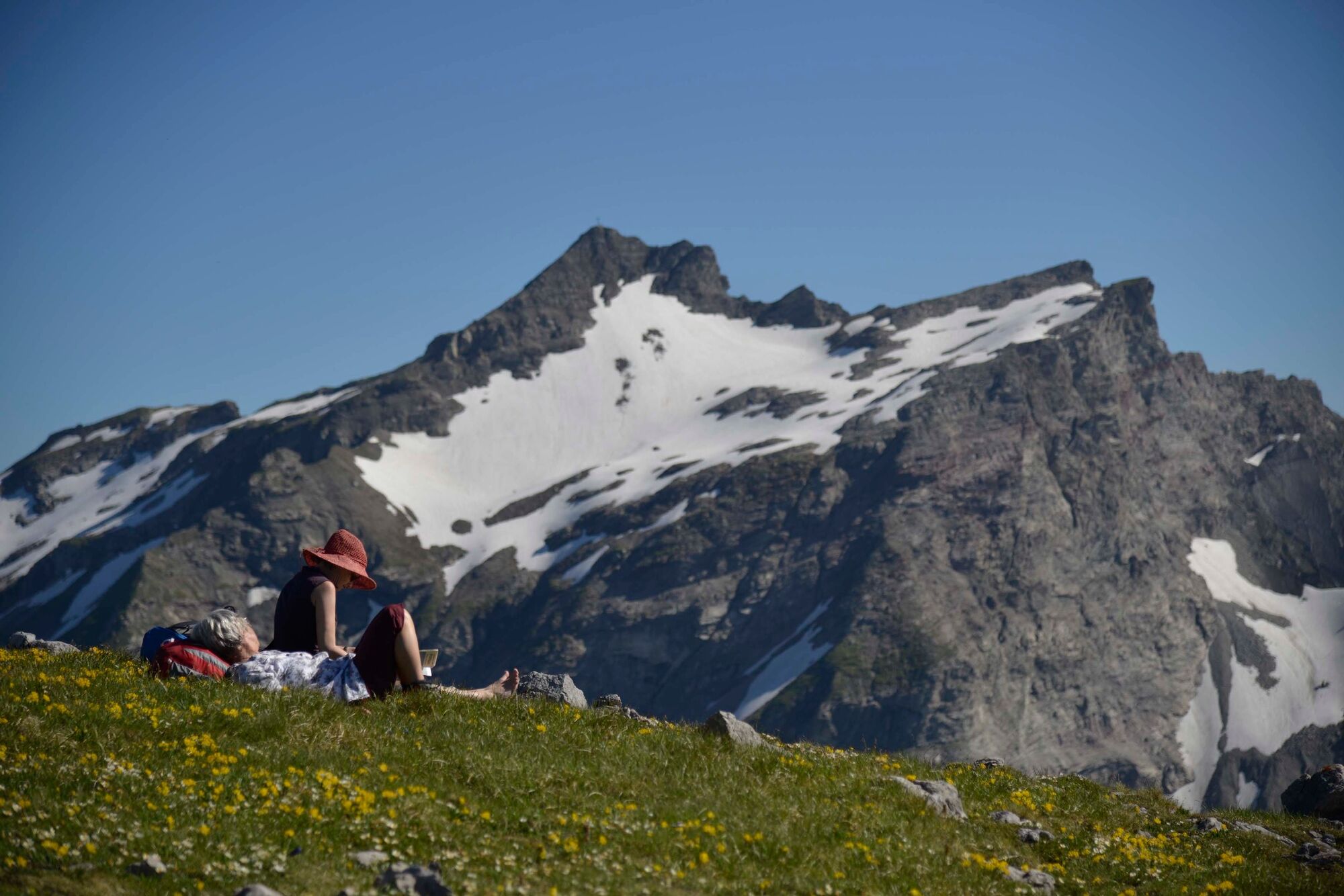
The Liechtenstein Panoramaweg (sign post 66) is a classic hike in Liechtenstein. As part of a 3 to 4 day route, it combines the experience of magnificent flower-filled mountain ridges, mountain huts, and summits with panoramic views from Rätikon to Lake Constance.
- Teškoća
-
teška
- Vrednovanje
-
- Wegverlauf
-
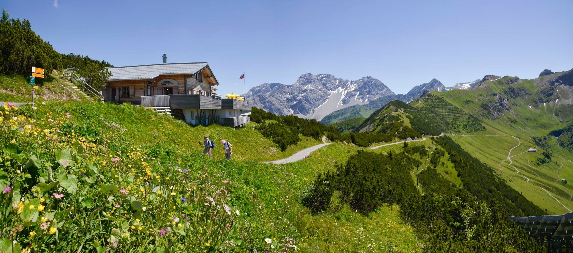
Bergrestaurant Sareis0,0 kmSpitz (2.187 m)1,9 kmAugstenberg (2.359 m)3,2 kmPfälzerhütte4,5 kmSteg12,3 kmWisli12,7 km
- Beste Jahreszeit
-
sijveljožutrasvilipsrpkolrujlisstupro
- Höchster Punkt
- 2.353 m
- Zielpunkt
-
Web
- Höhenprofil
-
 © outdooractive.com

-

-
AutorDie Tour Liechtenstein Panorama Trail: Stage 1 wird von outdooractive.com bereitgestellt.
GPS Downloads


Opće informacije
Einkehrmöglichkeit
Flora
Aussichtsreich
Weitere Touren in den Regionen
-
Heidiland
2201
-
Liechtenstein
1289
-
Malbun
308