
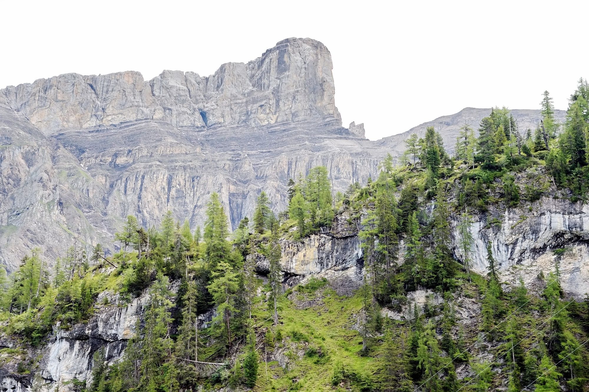
© Glacier 3000 AG - Arnaud Magnin

© Glacier 3000 AG - Arnaud Magnin

© Glacier 3000 AG - Arnaud Magnin

© Glacier 3000 AG - Arnaud Magnin

- Kratak opis
-
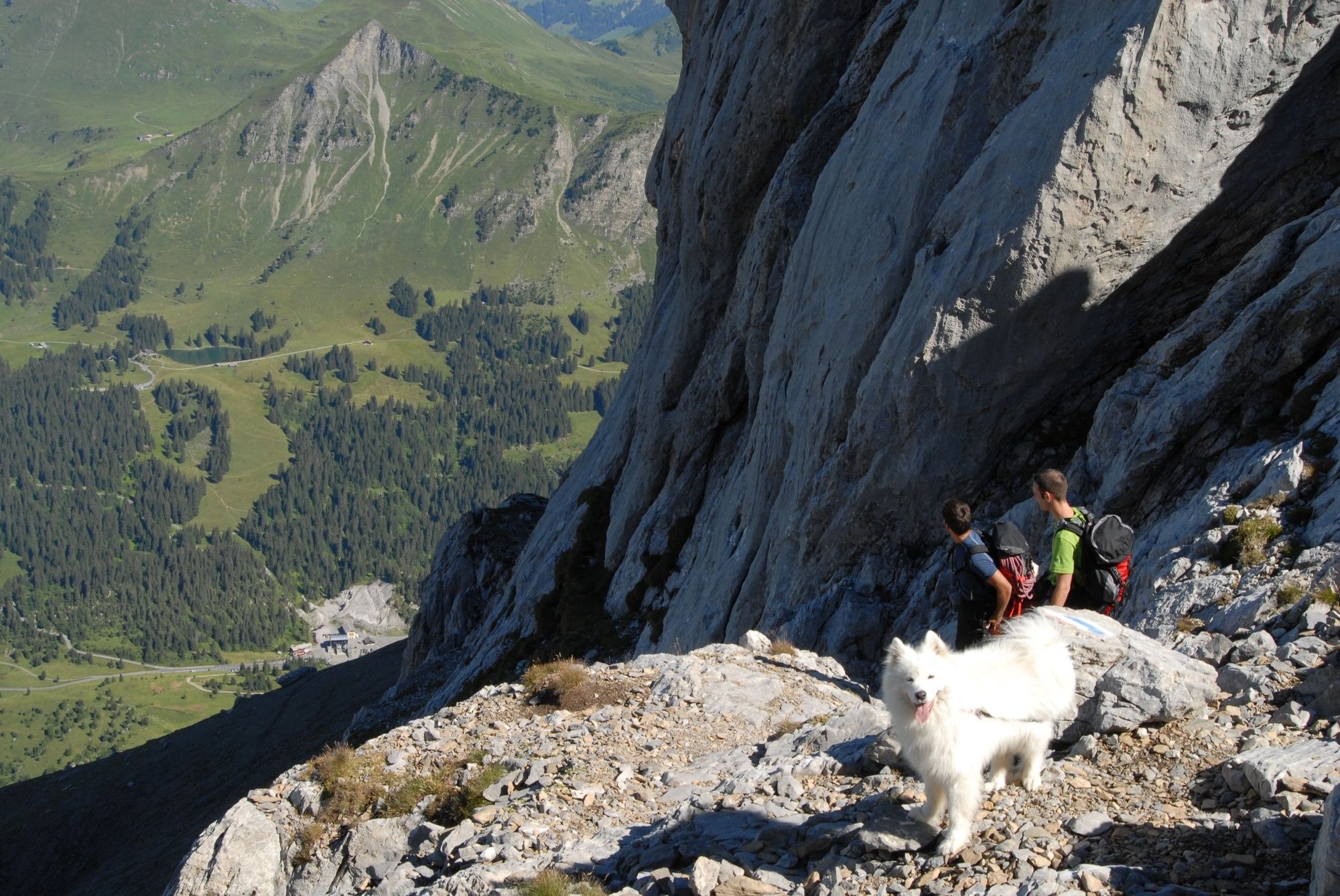
alpine route for athletic hikers
- Teškoća
-
teška
- Vrednovanje
-
- Wegverlauf
-
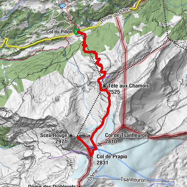
Tête aux Chamois (2.525 m)2,9 kmCol de Prapio (2.831 m)5,7 kmBotta6,4 km
- Beste Jahreszeit
-
sijveljožutrasvilipsrpkolrujlisstupro
- Höchster Punkt
- 2.919 m
- Zielpunkt
-
Scex Rouge (2’940 m)
- Höhenprofil
-
 © outdooractive.com
- Autor
-
Die Tour The challenging mountain hike wird von outdooractive.com bereitgestellt.
GPS Downloads


Opće informacije
Einkehrmöglichkeit
Aussichtsreich
Weitere Touren in den Regionen
-
Thyon les Collons
1435
-
Coteaux du Soleil
608
-
Ormont-Dessus
150