© Kanin
- Kratak opis
- Teškoća
-
teška
- Vrednovanje
-
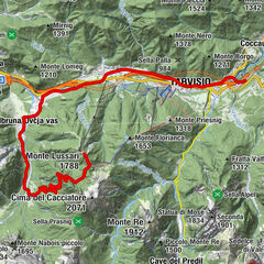
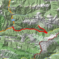
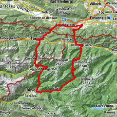
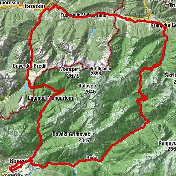
- Wegverlauf
-
Kronau0,1 kmPoletna restavracija1,3 kmJasna1,3 kmBoutique Hotel & Restaurant Milka1,5 kmMihov dom na Vršiču6,0 kmKoča na Gozdu9,7 kmTonkina koča11,5 kmŠupca (1.381 m)16,3 kmCerkev Device Marije Lavretanske24,0 kmPri Cerkvi24,0 kmTrentathal26,5 kmPizzerija in špageterija Trenta26,8 kmGostilna Metoja27,7 kmGostišče Andrejc35,1 kmSoča35,4 kmŽupnijska cerkev sv. Jožefa35,4 kmPodklanec38,2 kmVzporedni vodni kanal42,0 kmHedvika43,0 kmKal-Koritnica (460 m)43,2 kmFlitsch46,9 kmDvor47,8 kmCerkev Svete Device Marije v polju50,1 kmSpodnji Log59,3 kmBrunarica59,4 kmBrettendorf60,0 kmGorenji Log60,1 kmOberbreth64,4 kmMangartski slap65,7 kmSmaragdno oko66,3 kmGostilna Hermanov hram67,3 kmRaibl71,6 kmNuova Parrocchiale71,6 kmMauth74,1 kmKaltwasser (833 m)75,5 kmCiutte77,2 kmFlitschl (745 m)78,0 kmChiesa dei Santi Filippo e Giacomo78,0 kmTarvis79,1 kmTarvis Grünwald (732 m)81,1 kmUnterdorf84,5 kmWeißenfels85,9 kmGostilna Ponca89,6 kmRatschacher/Weißenfelser-Sattel89,7 kmRatschach90,7 kmGostilna Uh91,1 kmKolovrat93,6 kmZelenci93,9 kmWurzen94,3 kmBrunarica Kosobrin95,4 kmBrsnina95,4 kmKronau96,6 km
- Beste Jahreszeit
-
sijveljožutrasvilipsrpkolrujlisstupro
- Höchster Punkt
- 1.616 m
- Zielpunkt
-
Kranjska Gora-Hotel Kompas
- Höhenprofil
-
 © outdooractive.com

- Autor
-
Die Tour The route of 2 passes and 2 countries wird von outdooractive.com bereitgestellt.
GPS Downloads


Opće informacije
Einkehrmöglichkeit
Kulturell/Historisch
Aussichtsreich
Weitere Touren in den Regionen