© Julische Alpen - Mitja Sodja

© Julische Alpen - Mitja Sodja

© turizem Kranjska Gora

© Julische Alpen - Mitja Sodja

© Julische Alpen - Mitja Sodja

© Julische Alpen - Mitja Sodja

© Julische Alpen - Mitja Sodja

© Julische Alpen - Mitja Sodja

© Julische Alpen - Mitja Sodja

© Julische Alpen - Mitja Sodja
- Kratak opis
-
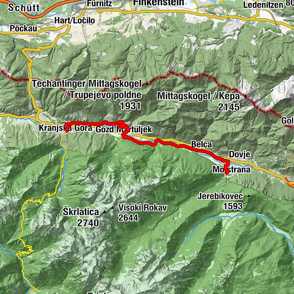
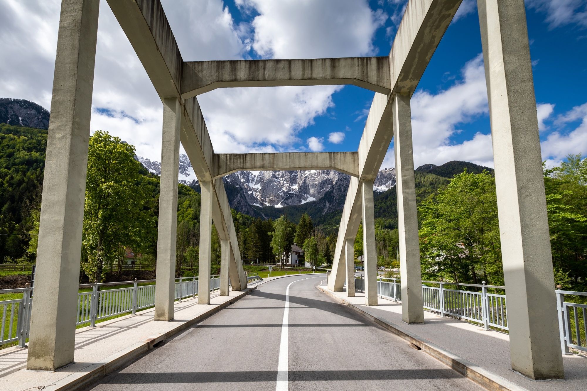
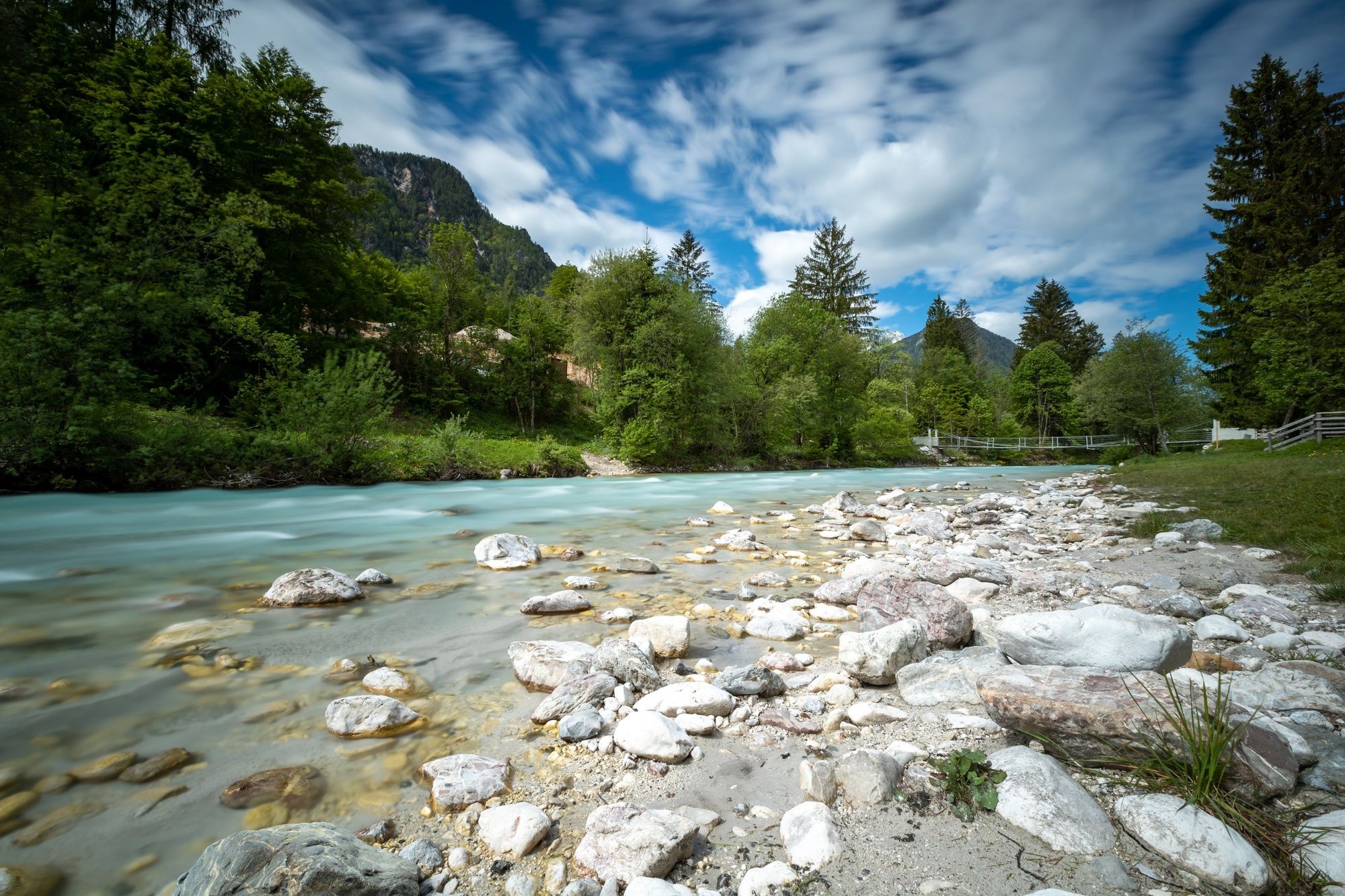
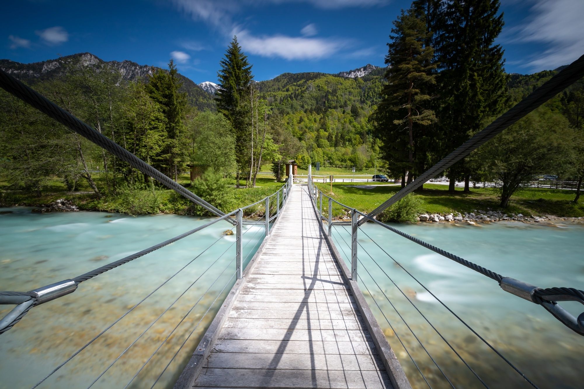
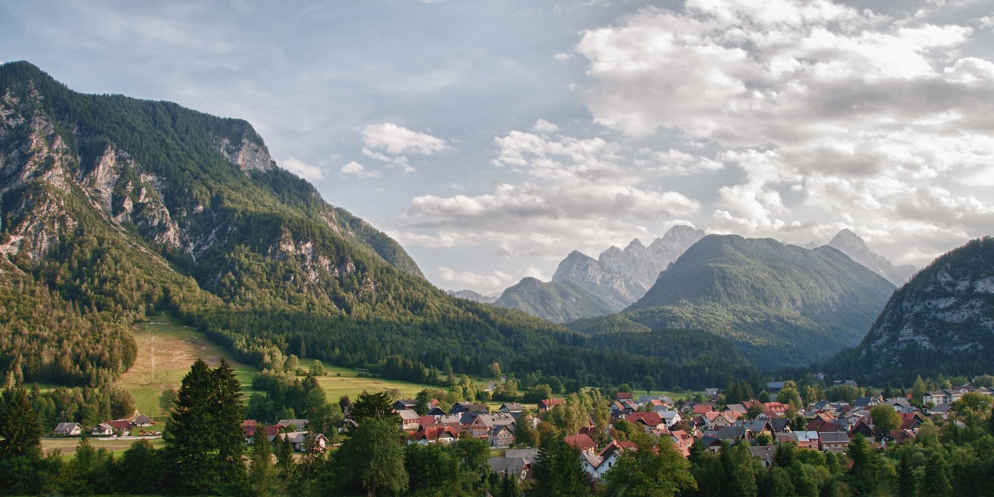
The stage 1 leads you along the Sava Dolinka Valley and partially on the edges of the Karavanke mountain range, and connects the winter and summer tourist centre of Kranjska Gora with Mojstrana, which is located at the entry to the valley of Vrata.
- Teškoća
-
srednje
- Vrednovanje
-
- Wegverlauf
-
Kronau0,0 kmP1l1,9 kmMitterberg4,7 kmKapela sv. Trojice5,0 kmJermanovi slapovi6,7 kmWald in der Oberkrain7,3 kmSlap Mokra peč (Lucifer)9,1 kmPodkuže13,0 kmFellinz14,0 kmMeistern in der Oberkrain16,3 km
- Beste Jahreszeit
-
sijveljožutrasvilipsrpkolrujlisstupro
- Höchster Punkt
- 968 m
- Zielpunkt
-
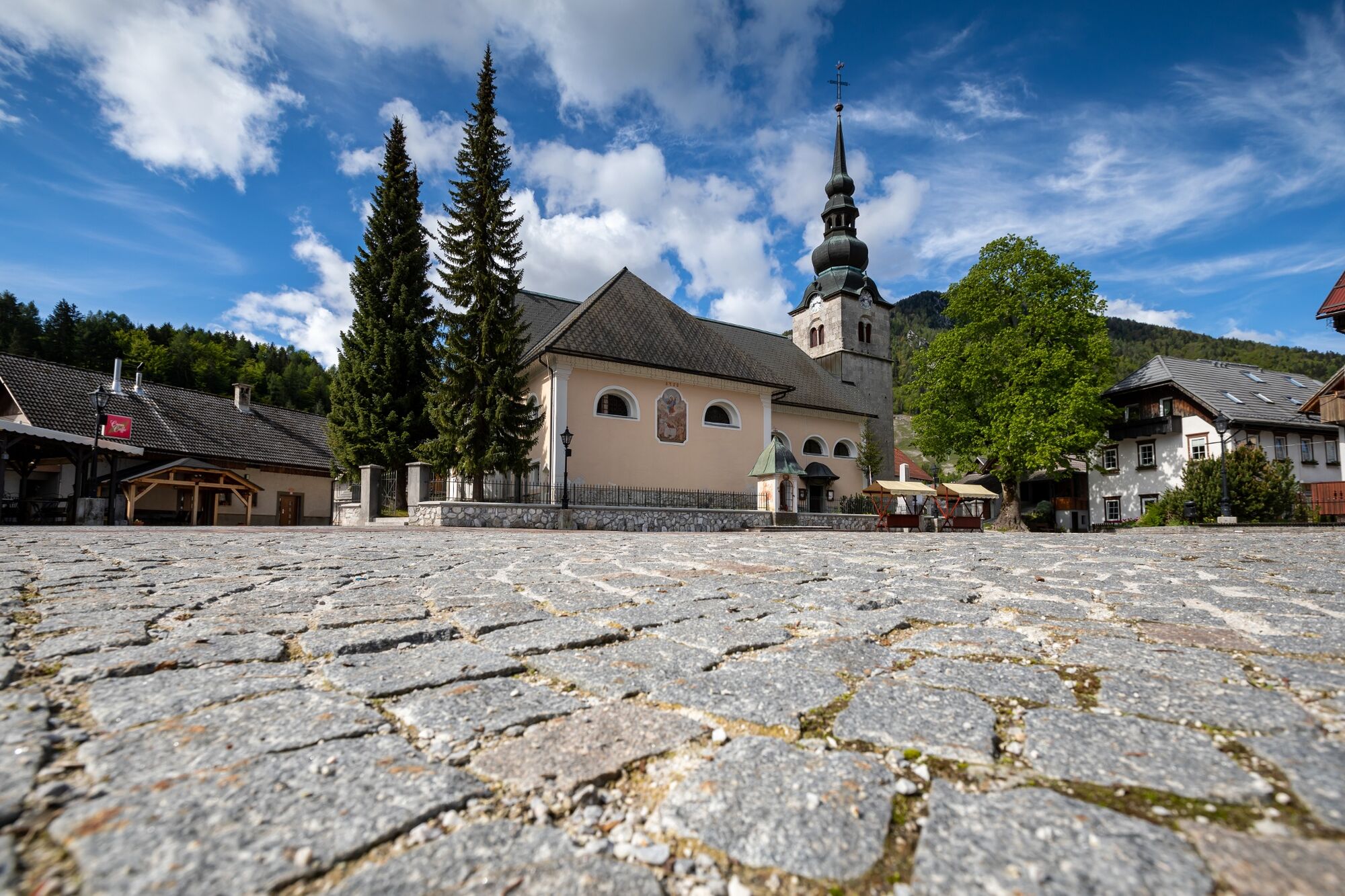
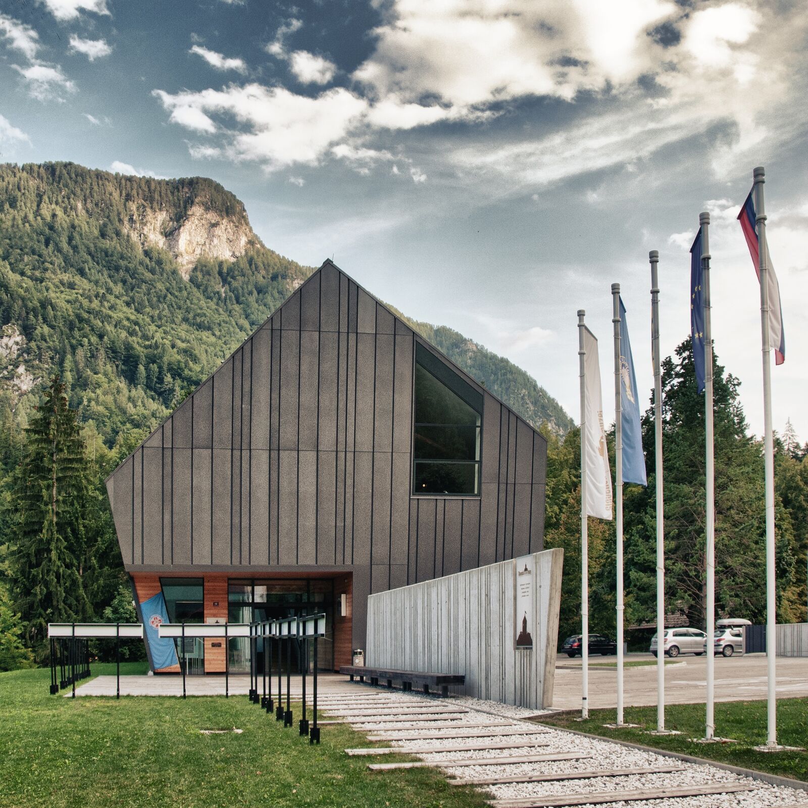
Slovenian Alpine Museum in Mojstrana.
- Höhenprofil
-
 © outdooractive.com


- Autor
-
Die Tour JULIANA TRAIL: stage 1 Kranjska Gora - Mojstrana wird von outdooractive.com bereitgestellt.
GPS Downloads


Opće informacije
Einkehrmöglichkeit
Heilklima
Kulturell/Historisch
Flora
Fauna
Aussichtsreich
Weitere Touren in den Regionen