

© Turizem Bled - Anja Kikelj
© Turizem Bled - Anja Kikelj
© Turizem Bled - Anja Kikelj
© Turizem Bled - Anja Kikelj


- Kratak opis
-
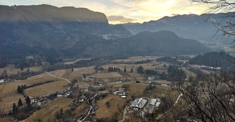
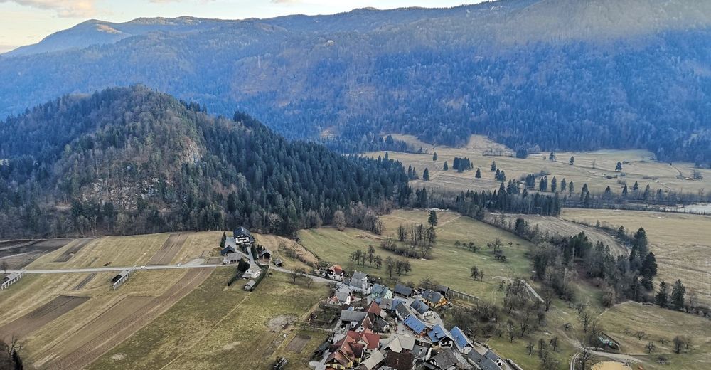
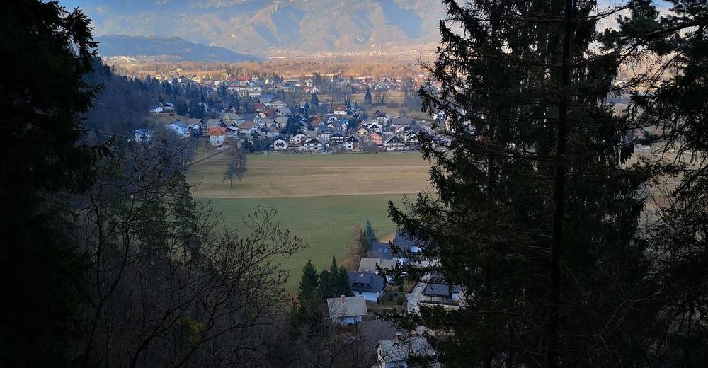
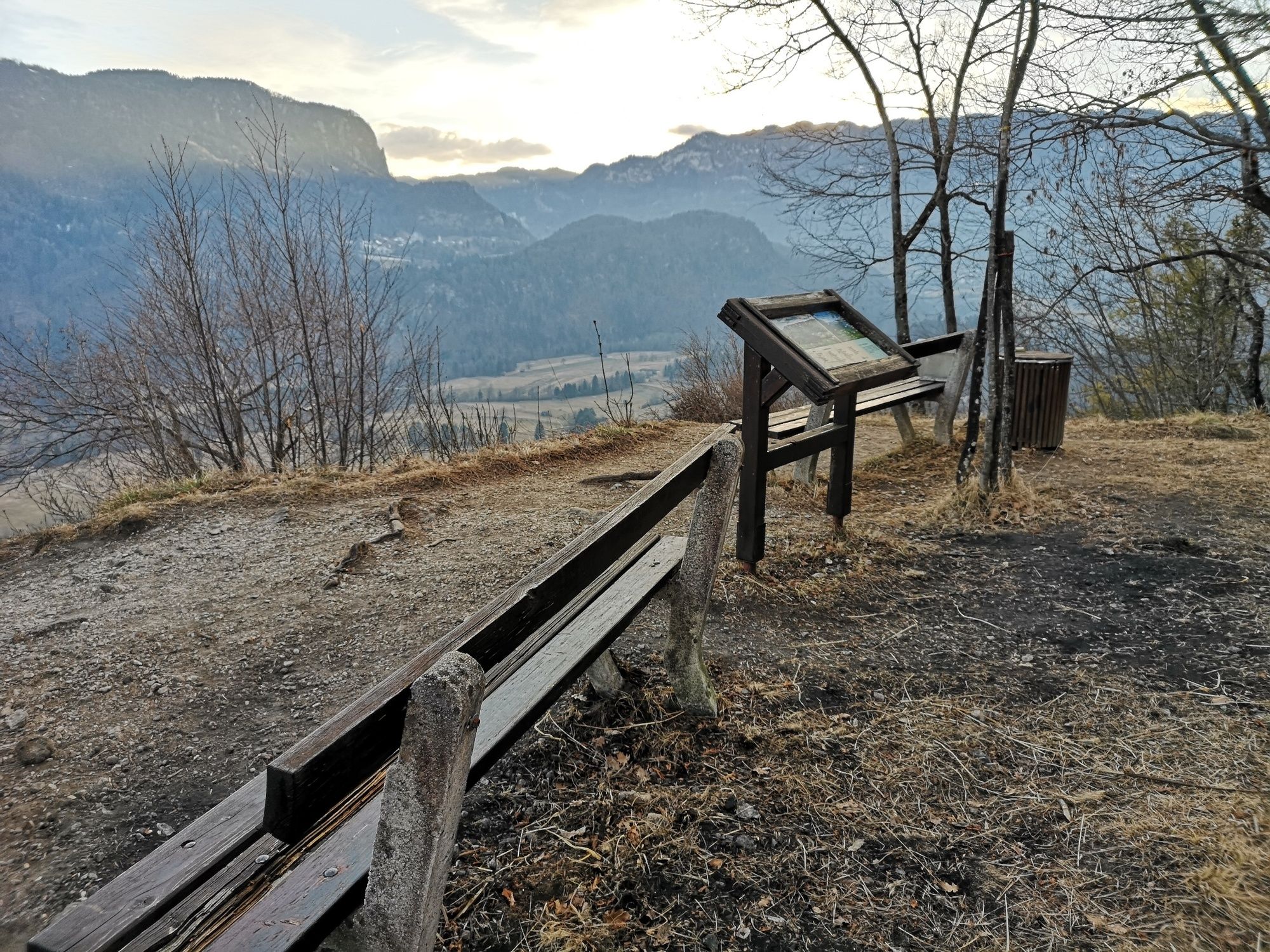
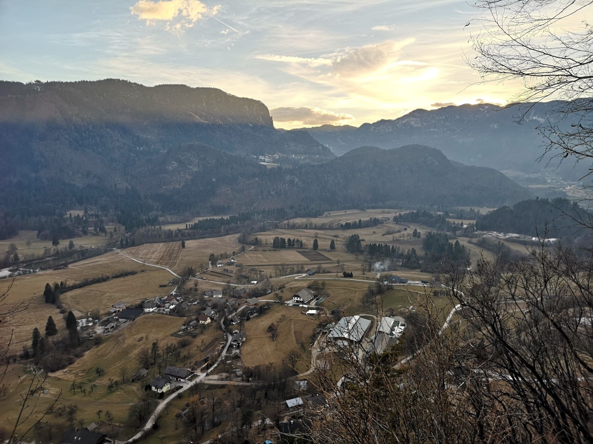
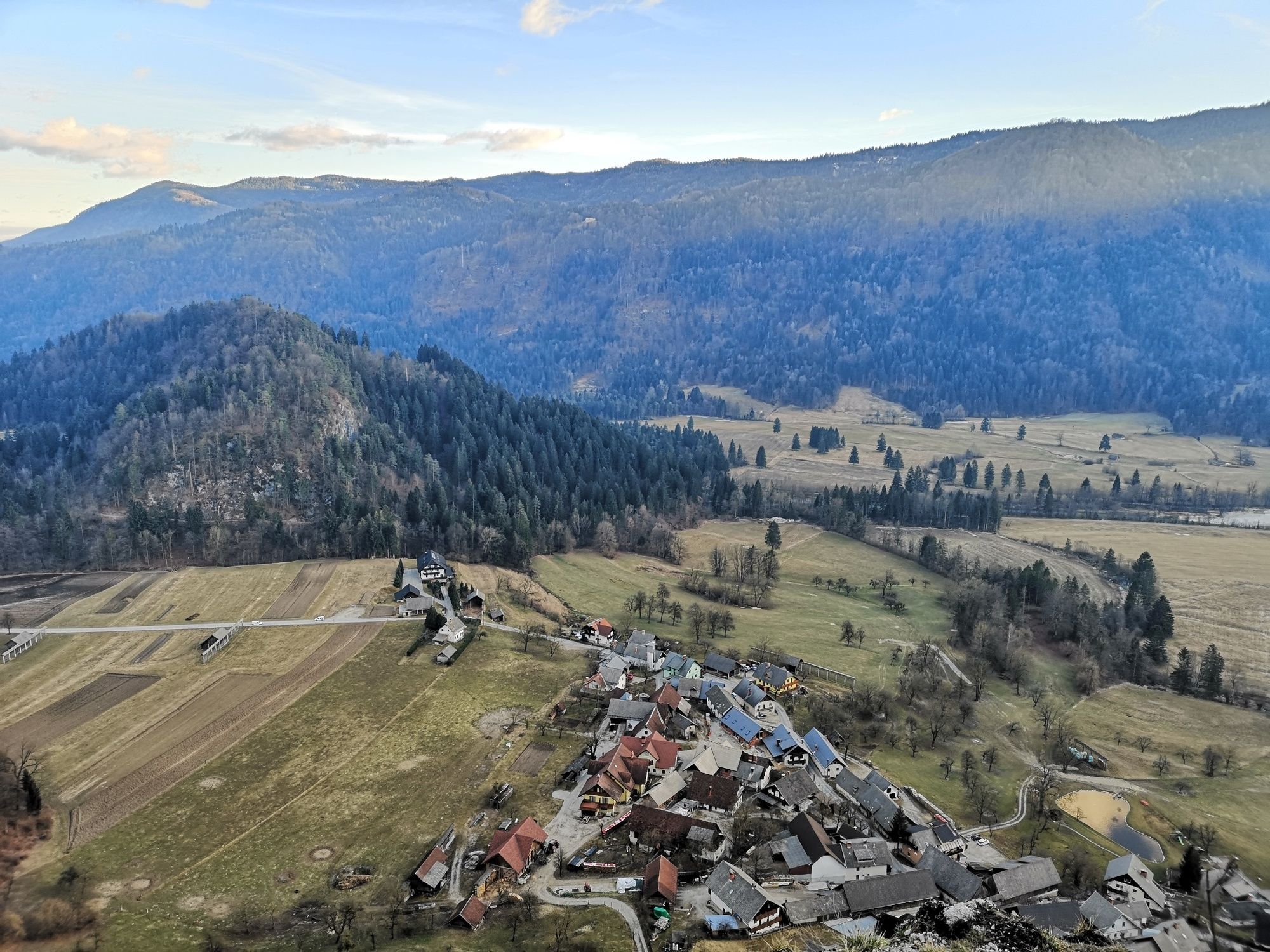
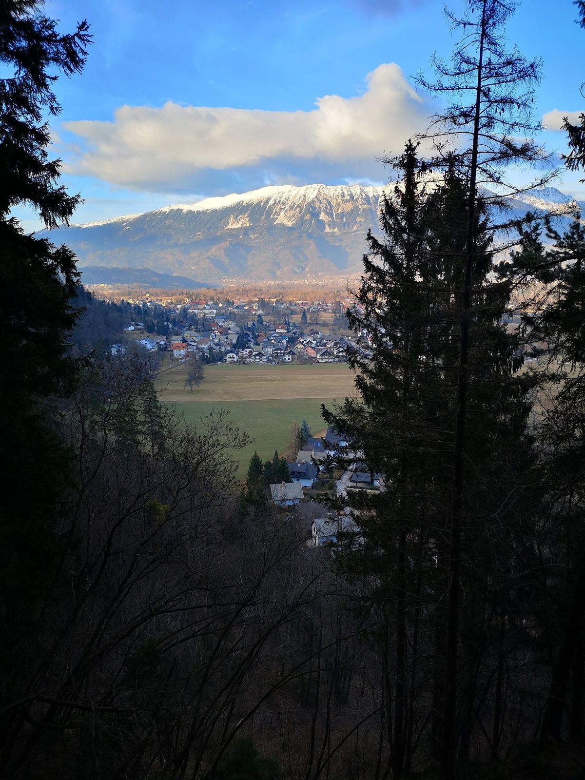
Dobra gora is a fairly easily accessible hill south of Bled offering amazing vistas. And what’s more, it’s not crowded at all. From the East it stretches along the Sava Valley via Jelovica and Babji zob, and Galetovec above Bohinjska Bela. The village of Selo, Sava Bohinjka and the plateau of Pokljuka are literally on your doorstep.
- Teškoća
-
srednje
- Vrednovanje
-
- Wegverlauf
-
Bled0,0 kmSelo pri Bledu2,1 kmDobra gora (620 m)2,5 km
- Beste Jahreszeit
-
sijveljožutrasvilipsrpkolrujlisstupro
- Höchster Punkt
- 610 m
- Zielpunkt
-
Lakeside Promenade on the eastern shore of Lake Bled (480 m).
- Höhenprofil
-
 © outdooractive.com
- Autor
-
Die Tour Dobra gora (620 m) wird von outdooractive.com bereitgestellt.
GPS Downloads


Opće informacije
Heilklima
Flora
Fauna
Aussichtsreich
Weitere Touren in den Regionen
-
Wörthersee - Rosental
1955
-
Gorenjska
141
-
Bled
211


