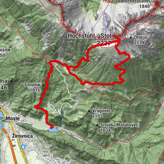
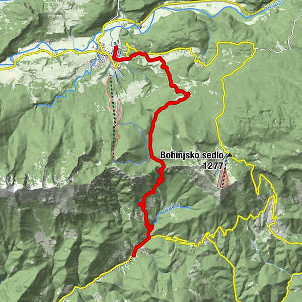
Boh. Bistrica-Podbrdo JulianaT-e8

Logo Boh. Bistrica-Podbrdo JulianaT-e8
Podaci o ruti
14,17km
503 - 1.264m
Distanz
740hm
762hm
Aufstieg
05:56h
 
Dauer
Wegverlauf
Wochein Feistritz
0,0 km
Wochein Feistritz
0,4 km
Nemški Rovt
2,3 km
Planina za Malim vrhom
6,9 km
Bača pri Podbrdu
11,6 km
Sv. Miklavž
13,1 km
Podberda
13,3 km
Podberda
14,1 km
Trtnik
14,1 km
Höchster Punkt
1.264 m

Gesamtbewertung

5

0

%

4

0

%

3

0

%

2

0

%

1

0

%

Error
Ein Fehler ist aufgetreten. Bitte versuche es erneut.
Vielen Dank für deine Bewertung

Bewertung wurde gelöscht

GPS Downloads
  • GPX GPS Exchange Format (XML)
  • KML Google Earth, Google Maps
QR Download Codes für Mobiltelefone
Weitere Touren in den Regionen

Beliebte Touren in der Umgebung

Mala Osojnica, Bleder See

lagano
2,68km | 192hm | 01:15h

Mt. Stol

teška
16,48km | 1662hm | 08:15h