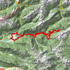
Tour beneath the foothills of Mt. Kanin to the Krnica Mountain pasture

Mountainbike

© Turizem Dolina Soce - Andreja Križnič
© Turizem Dolina Soce - Andreja Križnič
© Turizem Dolina Soce - Andreja Križnič
© Turizem Dolina Soce - Andreja Križnič
© Turizem Dolina Soce - Andreja Križnič
© Turizem Dolina Soce - Andreja Križnič
© Turizem Dolina Soce - Andreja Križnič

- Kratak opis
-
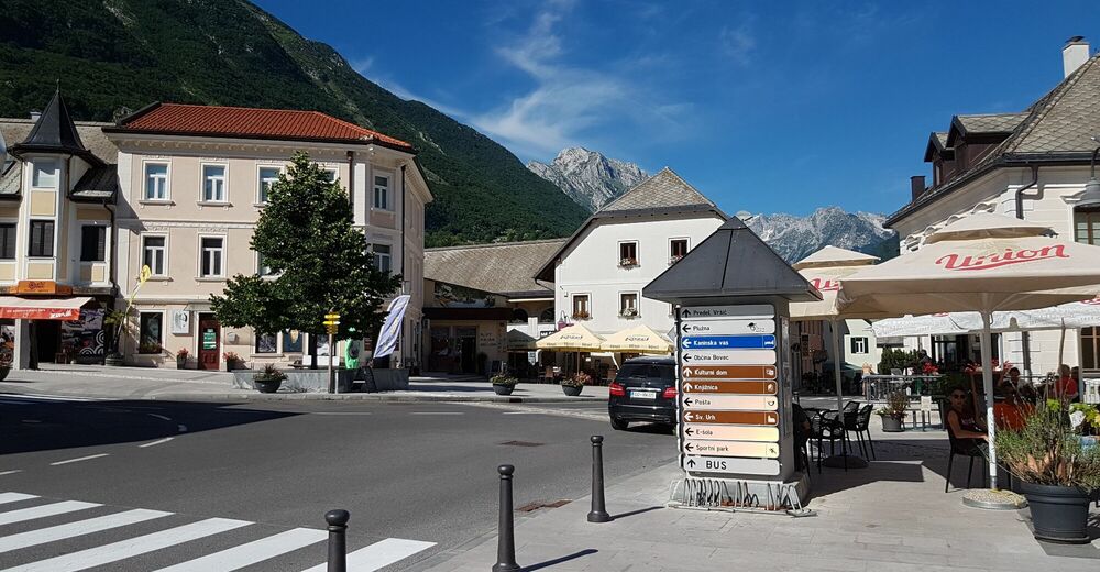
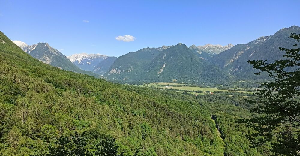
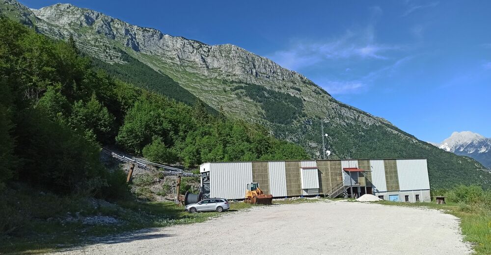
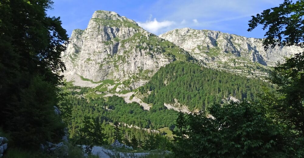
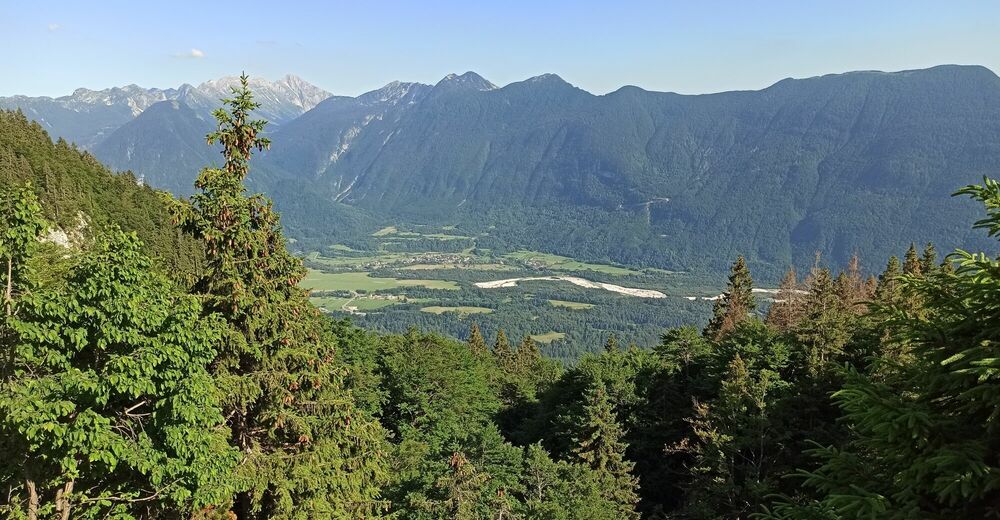
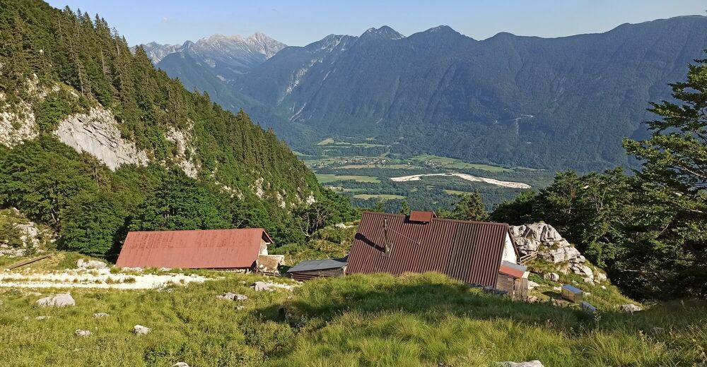
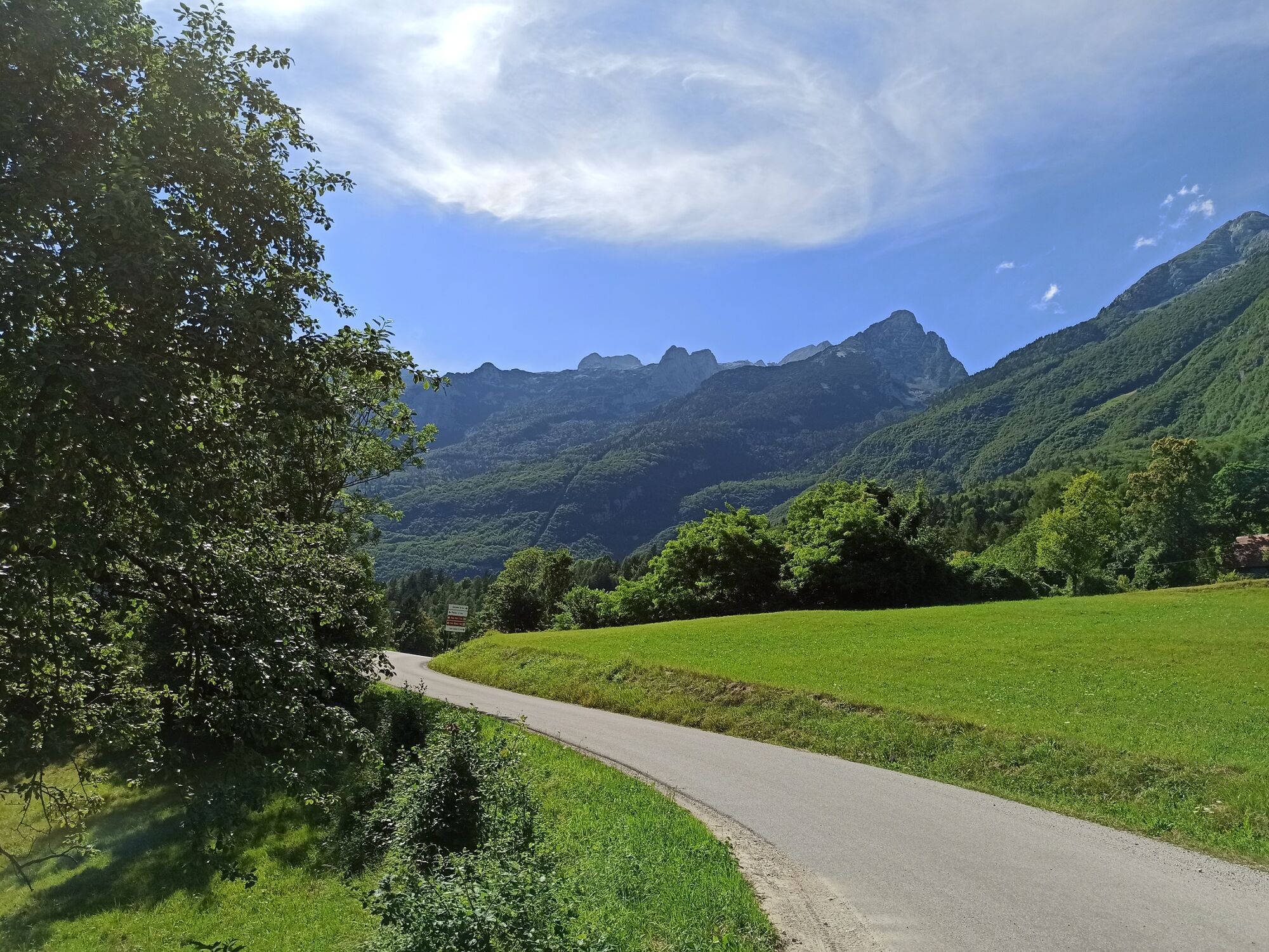
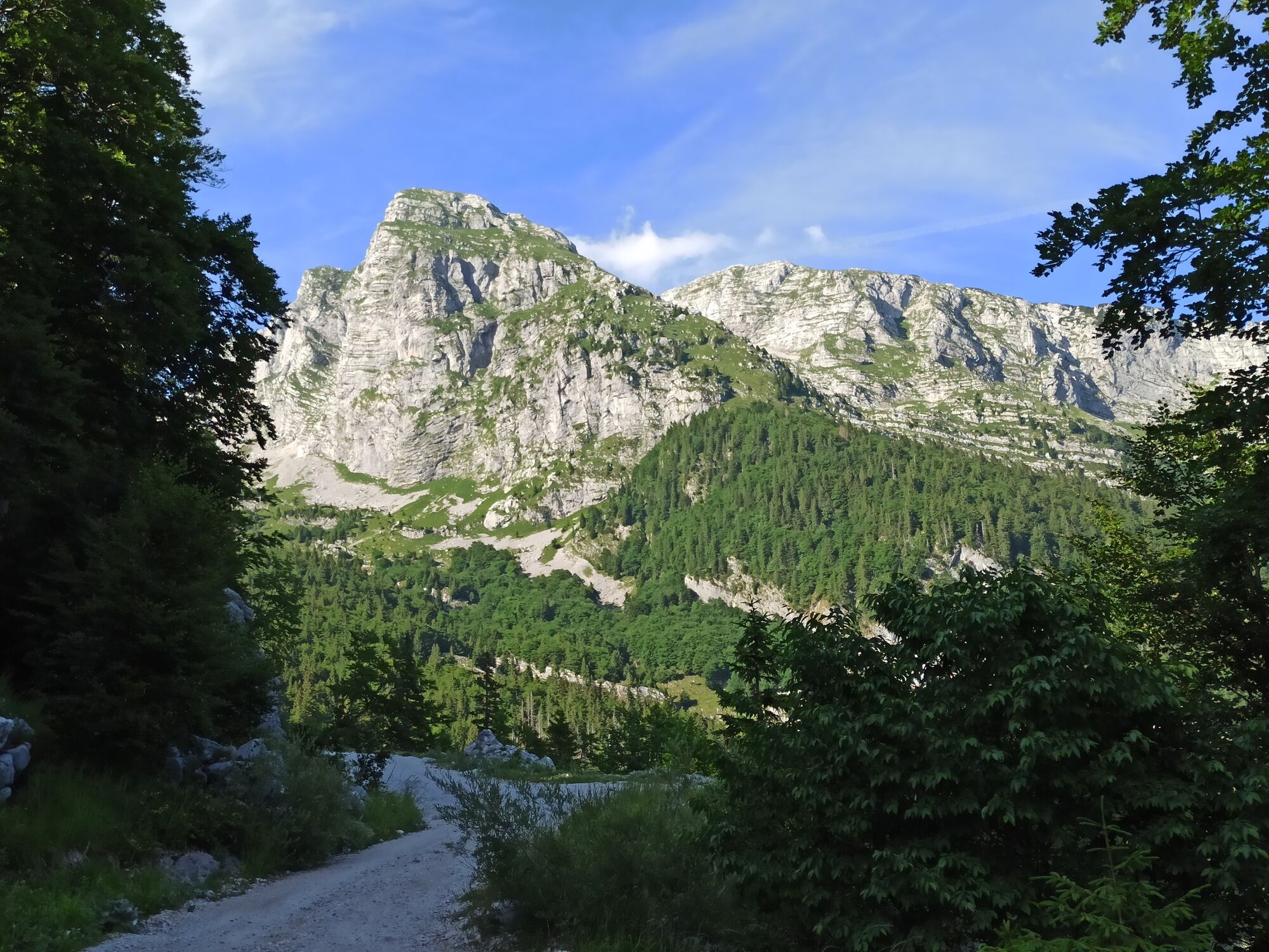
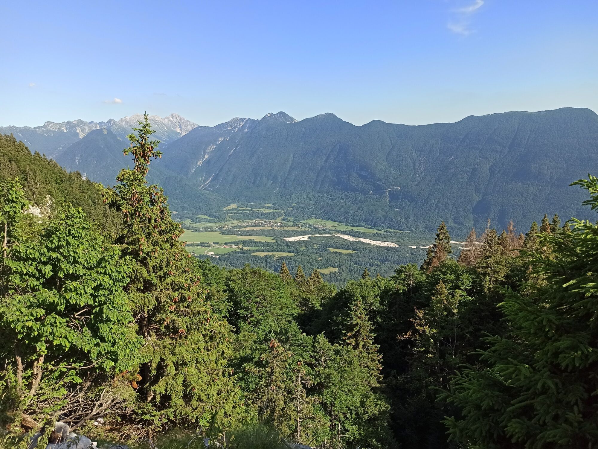
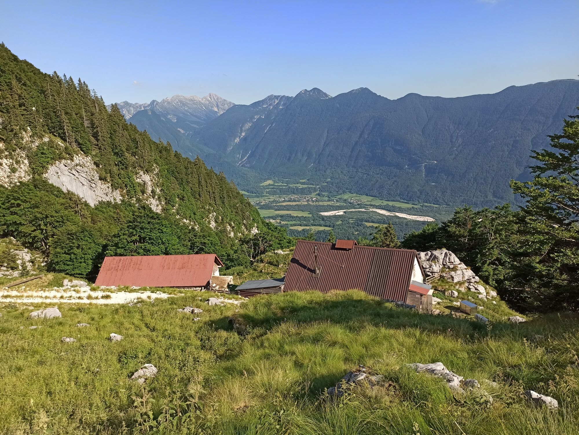
This tour will take you from the town of Bovec to the beginning of the remote but wonderful Alpine valley of Krnica. High above the valley you will be rewarded with a splendid panoramic view of the upper part of the Soča Valley and of the mighty surrounding mountains.
- Teškoća
-
srednje
- Vrednovanje
-
- Wegverlauf
-
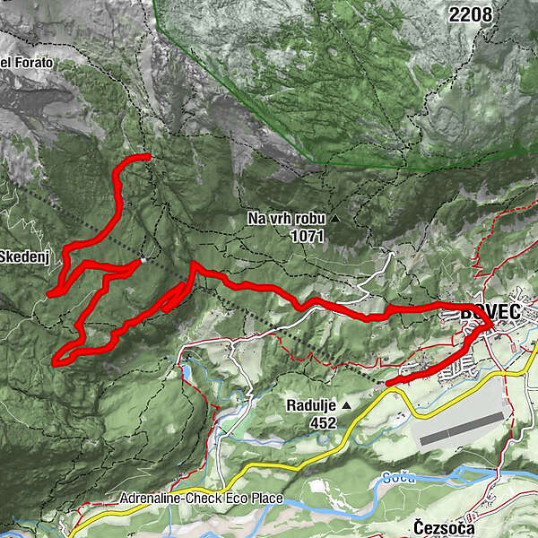
Dvor0,3 kmFlitsch1,3 kmCerkev svetega Urha1,4 kmKaninska Vas1,8 kmKaninska Vas23,0 kmCerkev svetega Urha23,5 kmFlitsch23,6 kmDvor24,5 km
- Beste Jahreszeit
-
sijveljožutrasvilipsrpkolrujlisstupro
- Höchster Punkt
- 1.276 m
- Zielpunkt
-
Krnica Mountain pasture
- Höhenprofil
-
 © outdooractive.com


- Autor
-
Die Tour Tour beneath the foothills of Mt. Kanin to the Krnica Mountain pasture wird von outdooractive.com bereitgestellt.
GPS Downloads


Opće informacije
Kulturell/Historisch
Geheimtipp
Flora
Aussichtsreich
Weitere Touren in den Regionen