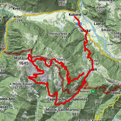
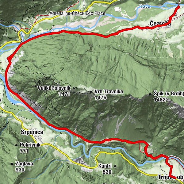
Tour beneath Mt. Polovnik from Čezsoča to Trnovo

Mountainbike

© Turizem Dolina Soce - Andreja Križnič

© Turizem Dolina Soce - Andreja Križnič

© Turizem Dolina Soce - Andreja Križnič

© Turizem Dolina Soce - Andreja Križnič

© Turizem Dolina Soce - Andreja Križnič

© Turizem Dolina Soce - Andreja Križnič

© Turizem Dolina Soce - Andreja Križnič

© Turizem Dolina Soce - Andreja Križnič

© Turizem Dolina Soce - Andreja Križnič

© Turizem Dolina Soce - Andreja Križnič

- Kratak opis
-
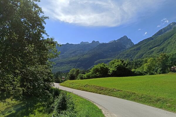
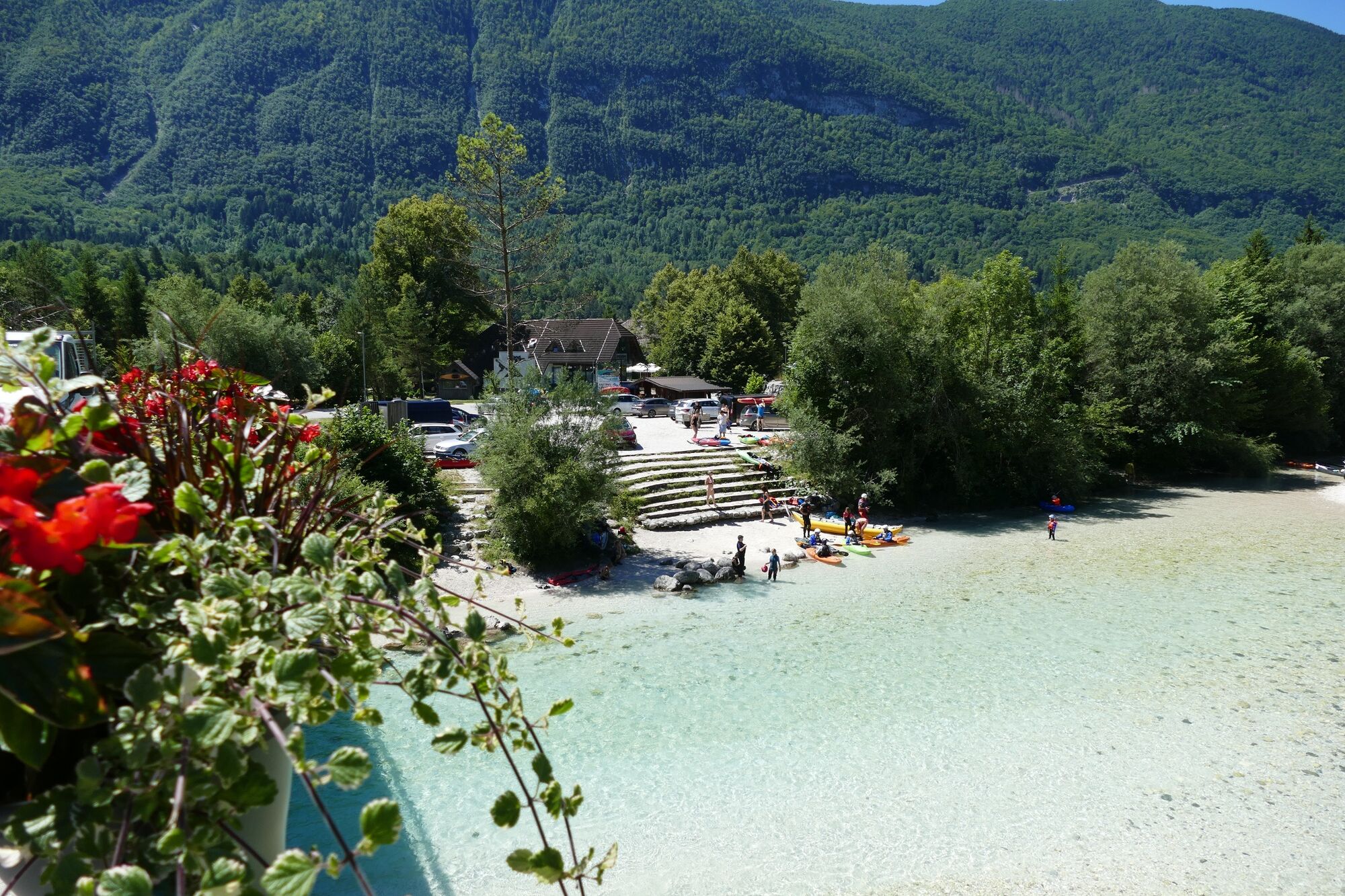
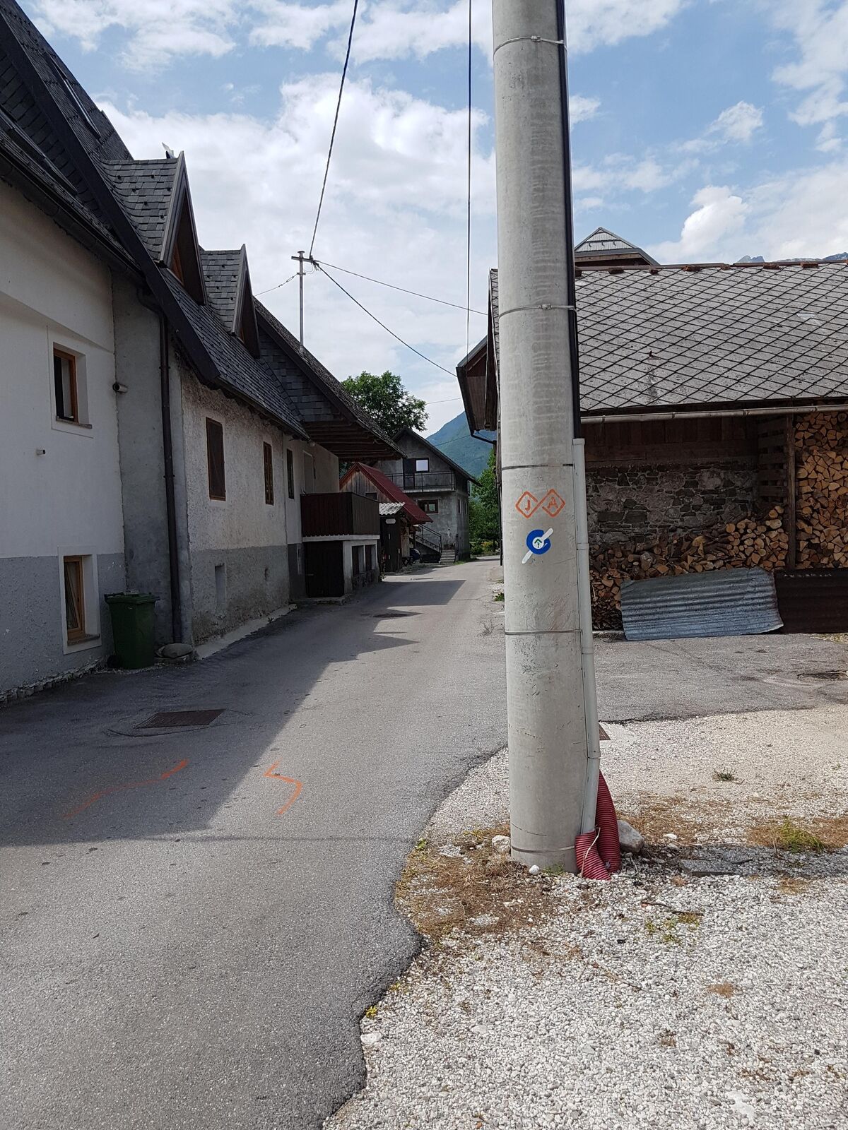
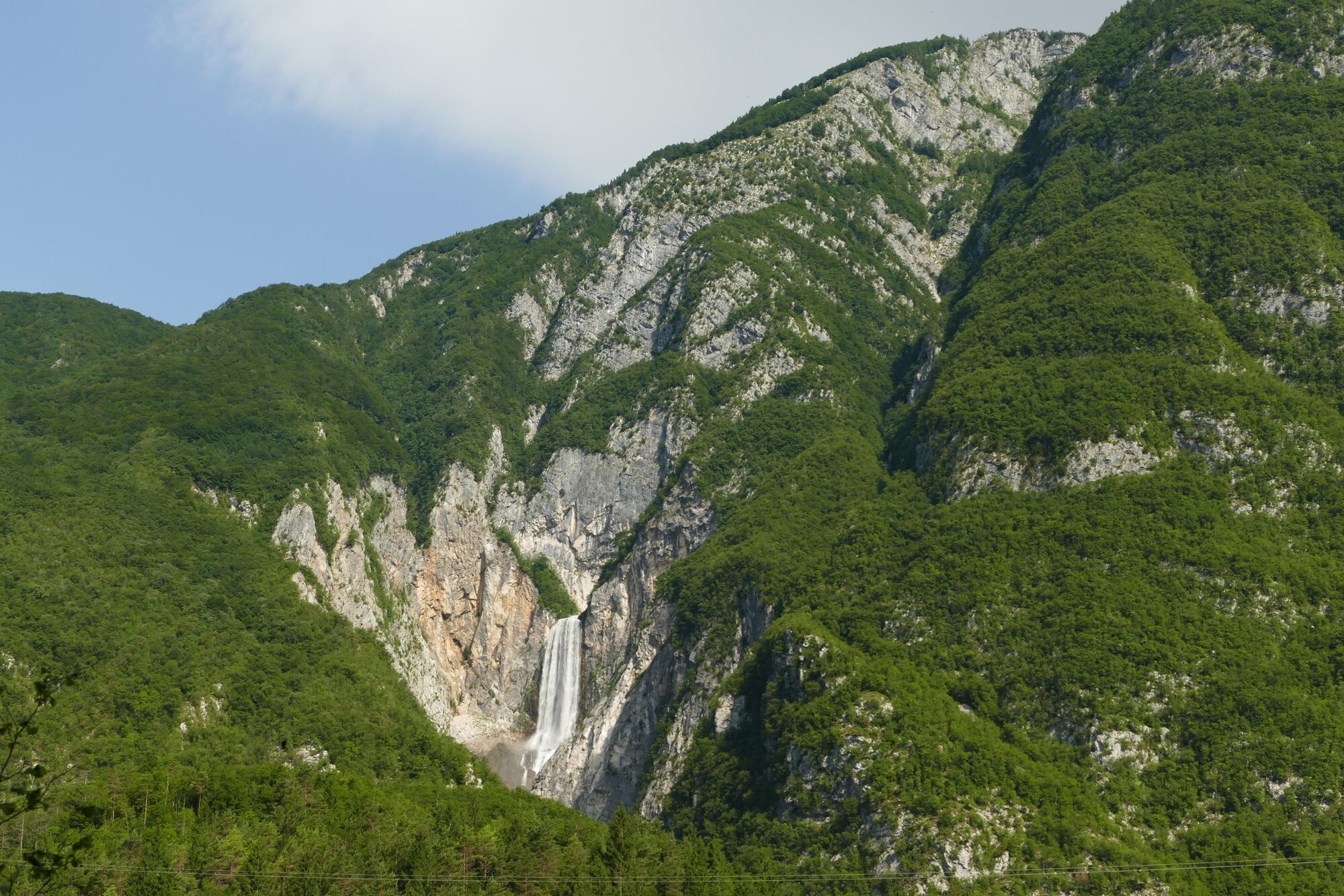
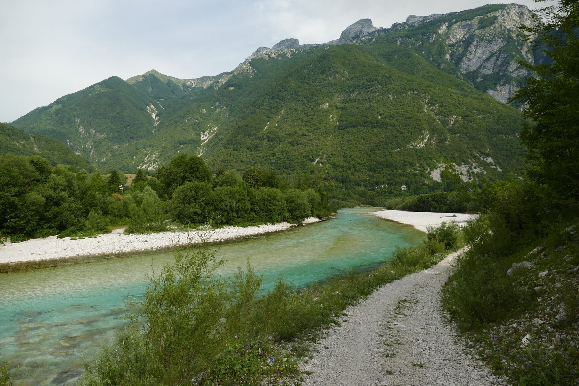
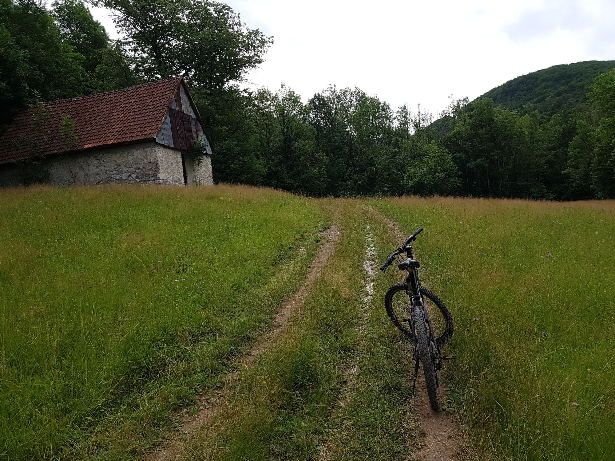
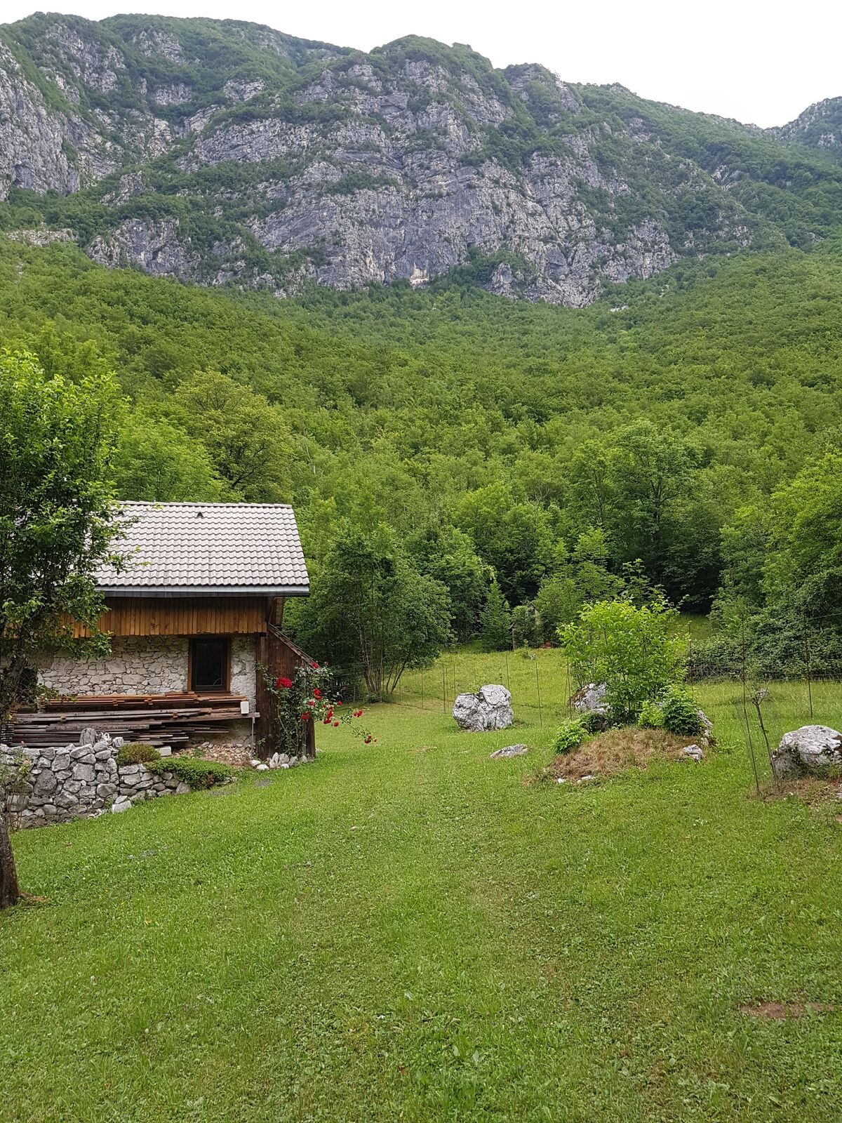
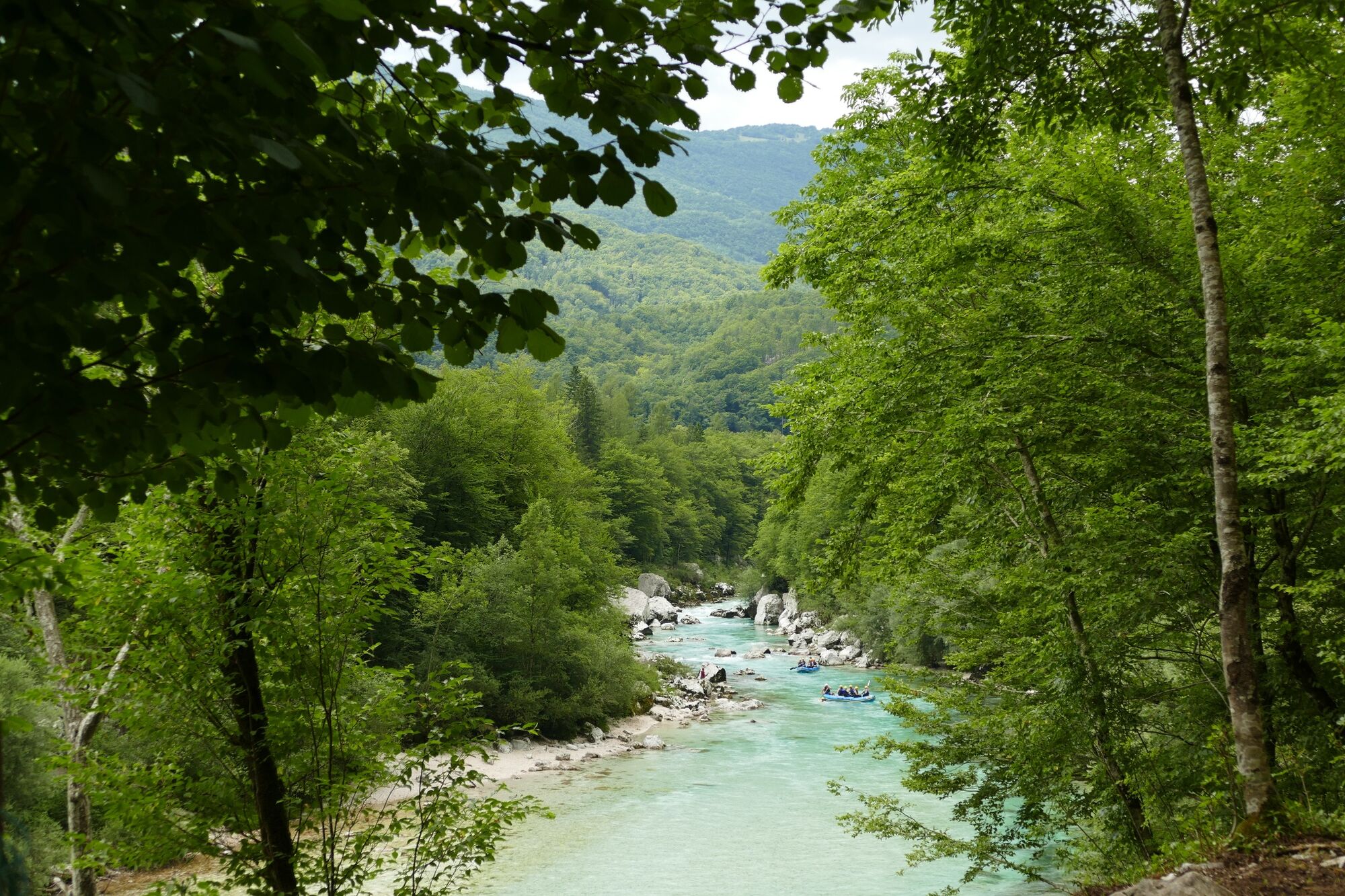
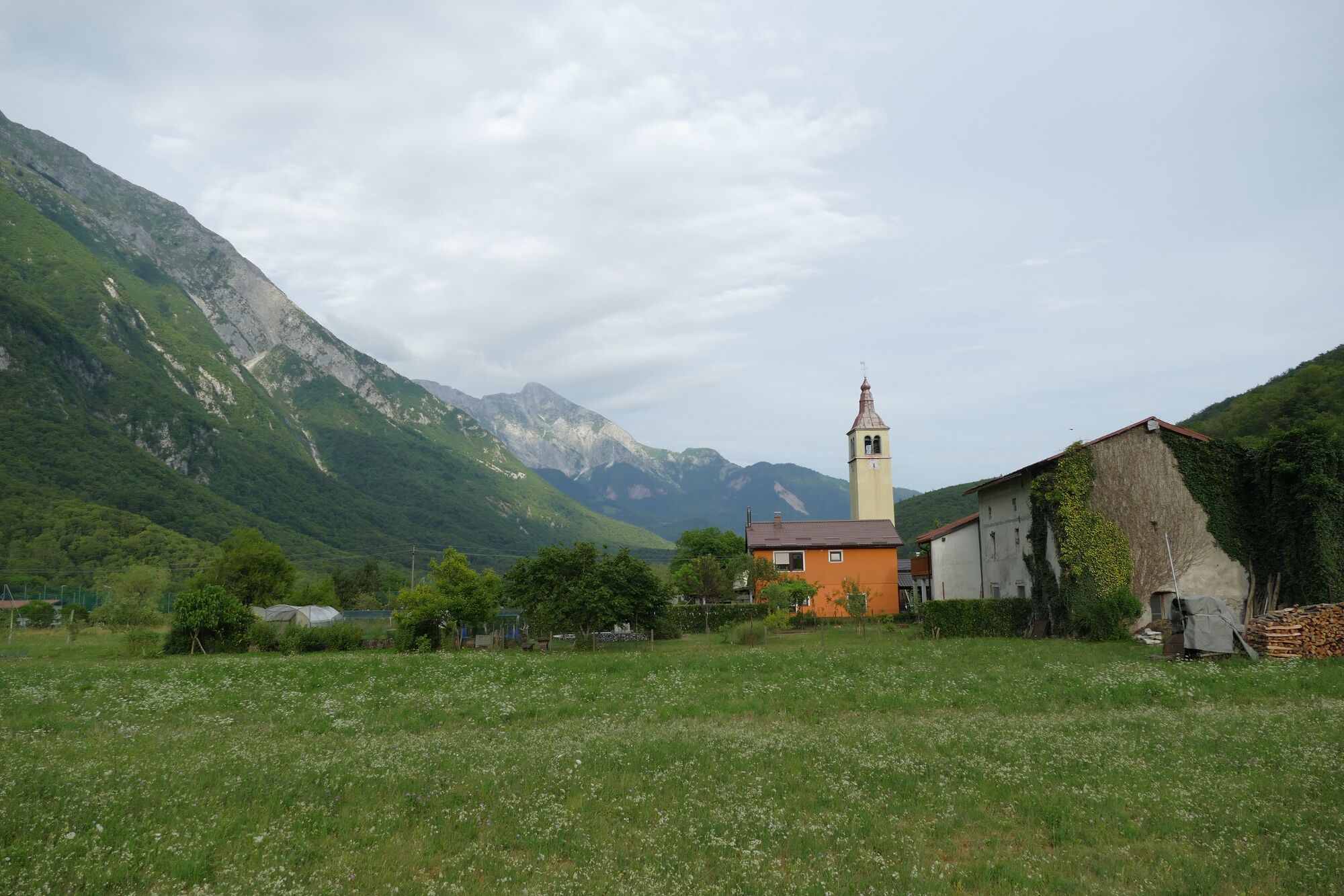
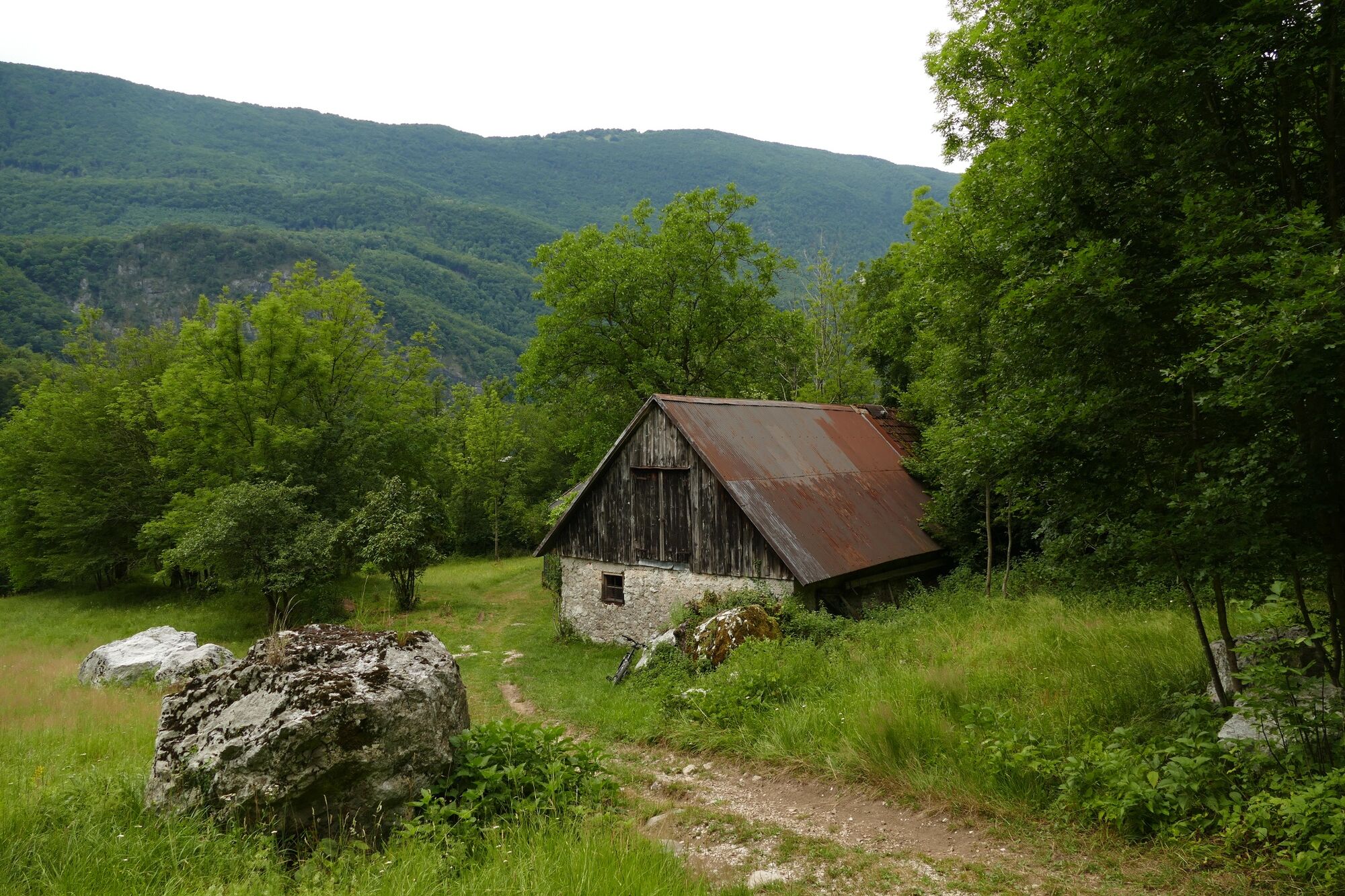
This popular undemanding mountain bike tour will take you along the left bank of the Soča River past the finest and most watery Boka Waterfall to the village of Log Čezsoški and along the gravel cart track above the Soča River across the pastures to the village of Trnovo.
- Teškoća
-
lagano
- Vrednovanje
-
- Wegverlauf
-
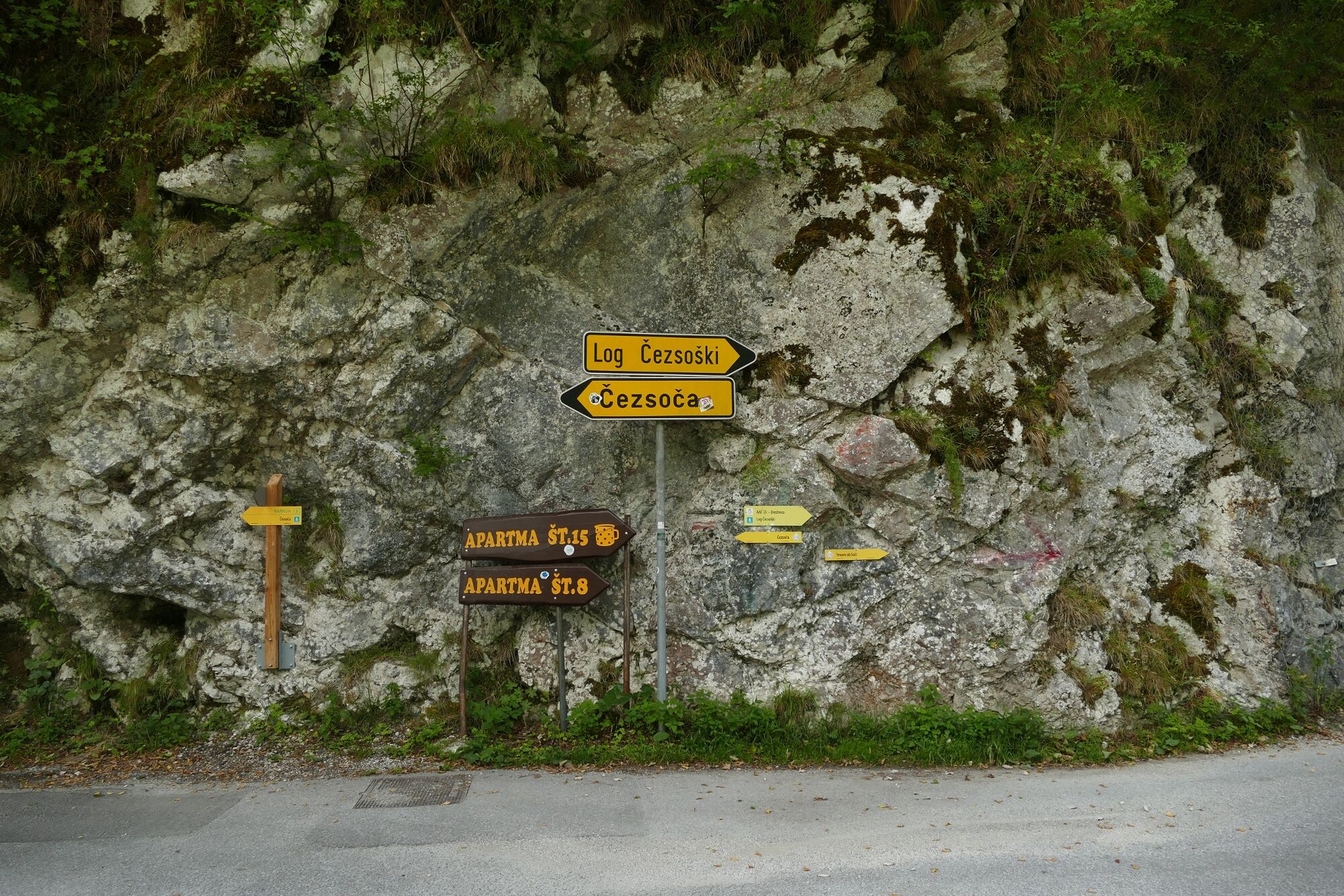
Gostilna Vančar0,5 kmSv. Anton Puščavnik0,8 kmAusserdorf (360 m)0,8 kmLogdorf5,3 kmSv. Trojica12,9 kmDornegg an der Sontig13,0 kmLogdorf20,4 kmAusserdorf (360 m)25,2 kmSv. Anton Puščavnik25,3 kmGostilna Vančar25,6 km
- Beste Jahreszeit
-
sijveljožutrasvilipsrpkolrujlisstupro
- Höchster Punkt
- 448 m
- Zielpunkt
-
Trnovo ob Soči
- Höhenprofil
-
 © outdooractive.com
- Autor
-
Die Tour Tour beneath Mt. Polovnik from Čezsoča to Trnovo wird von outdooractive.com bereitgestellt.
GPS Downloads


Opće informacije
Flora
Aussichtsreich
Weitere Touren in den Regionen
-
Friaul Julisch Venetien
23
-
Soča-Tal
48
-
Bovec
17