© Turizem Dolina Soče - Matevž Lenarčič
© Turizem Dolina Soče - Luca D'Agostini
© Turizem Dolina Soče - Matevž Lenarčič
© Turizem Dolina Soce - Paolo Petrignani

- Kratak opis
-
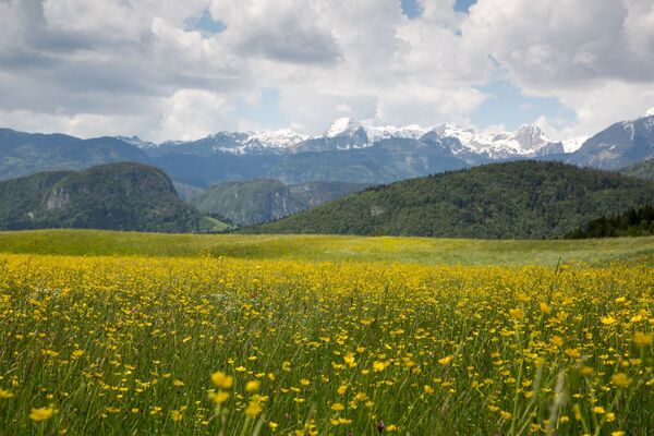
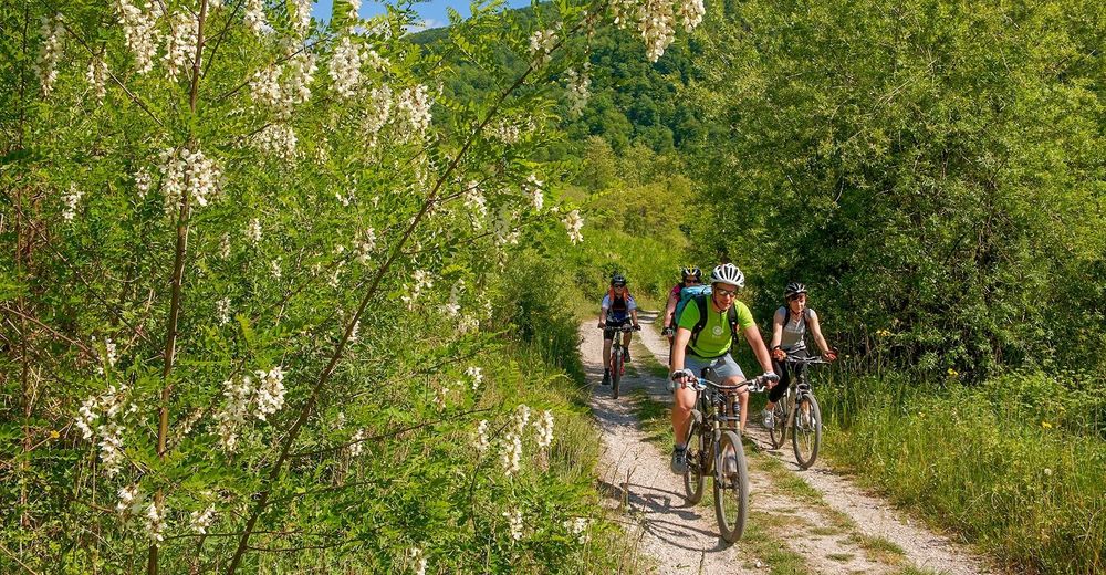
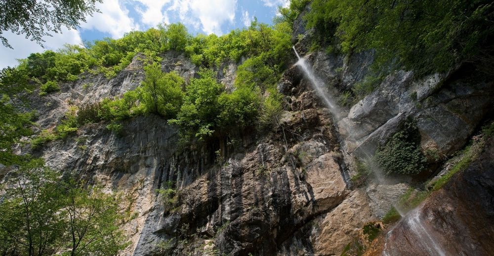
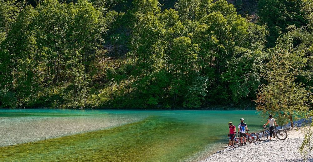
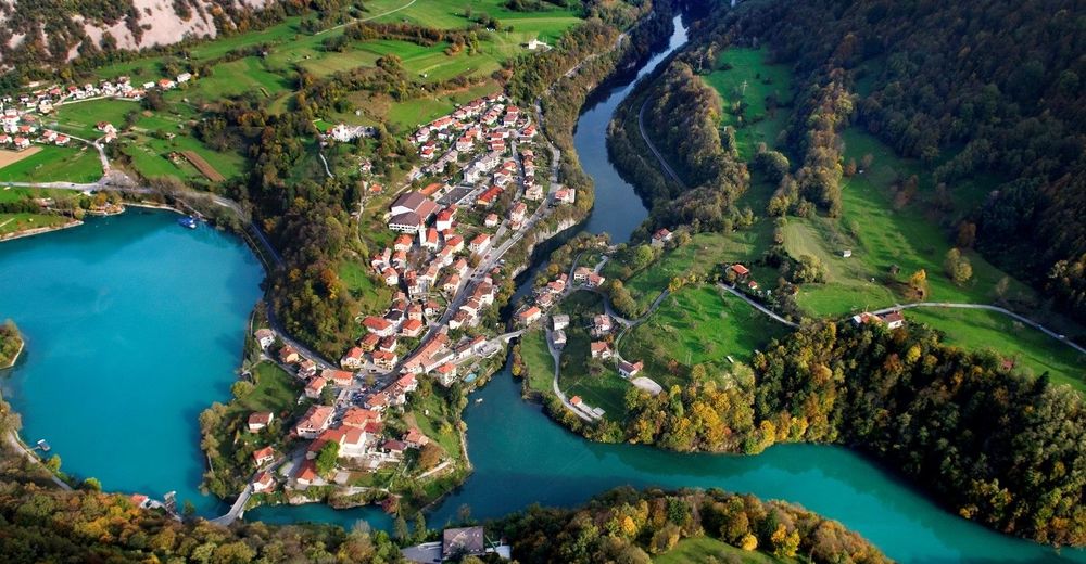
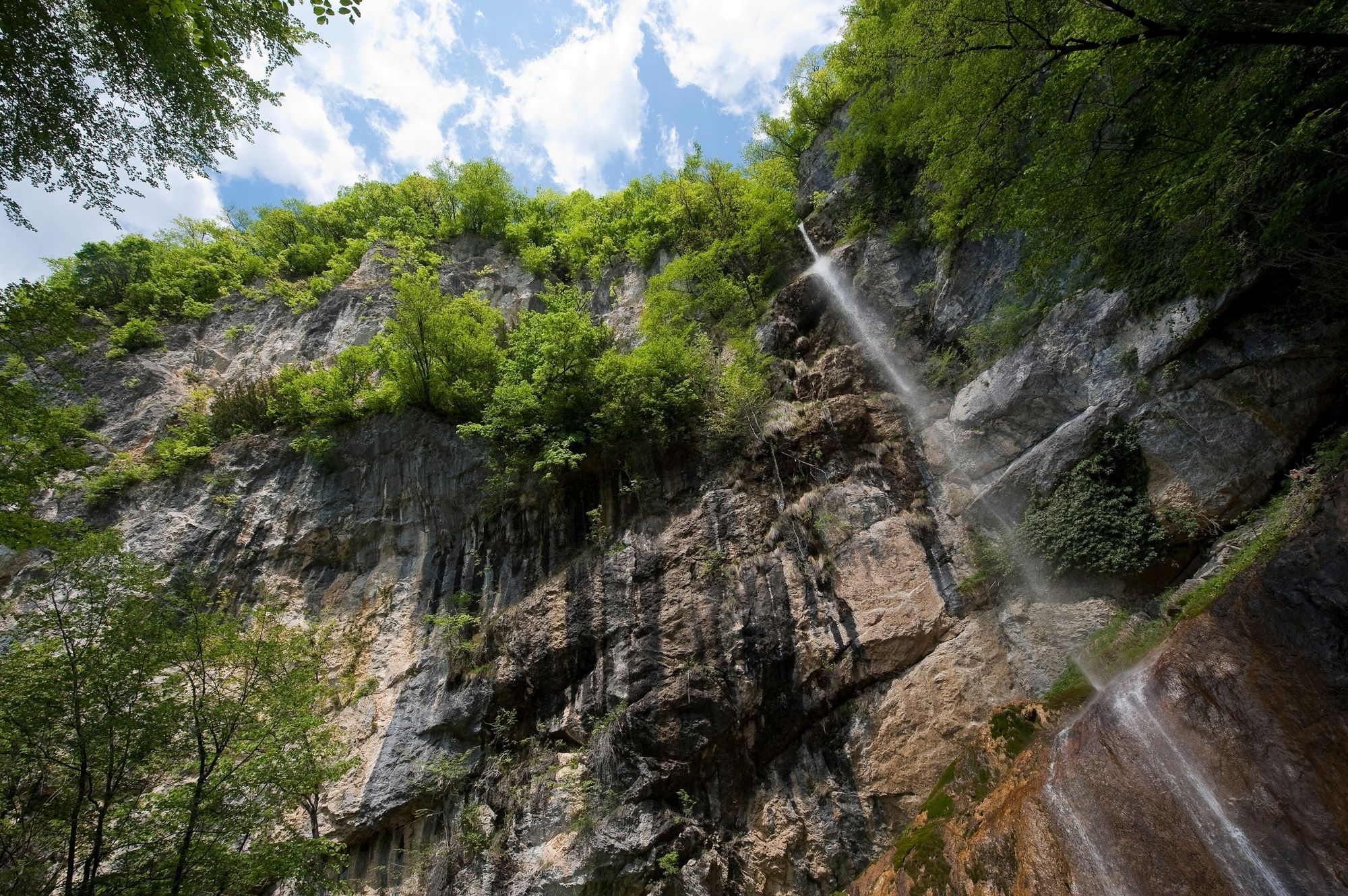
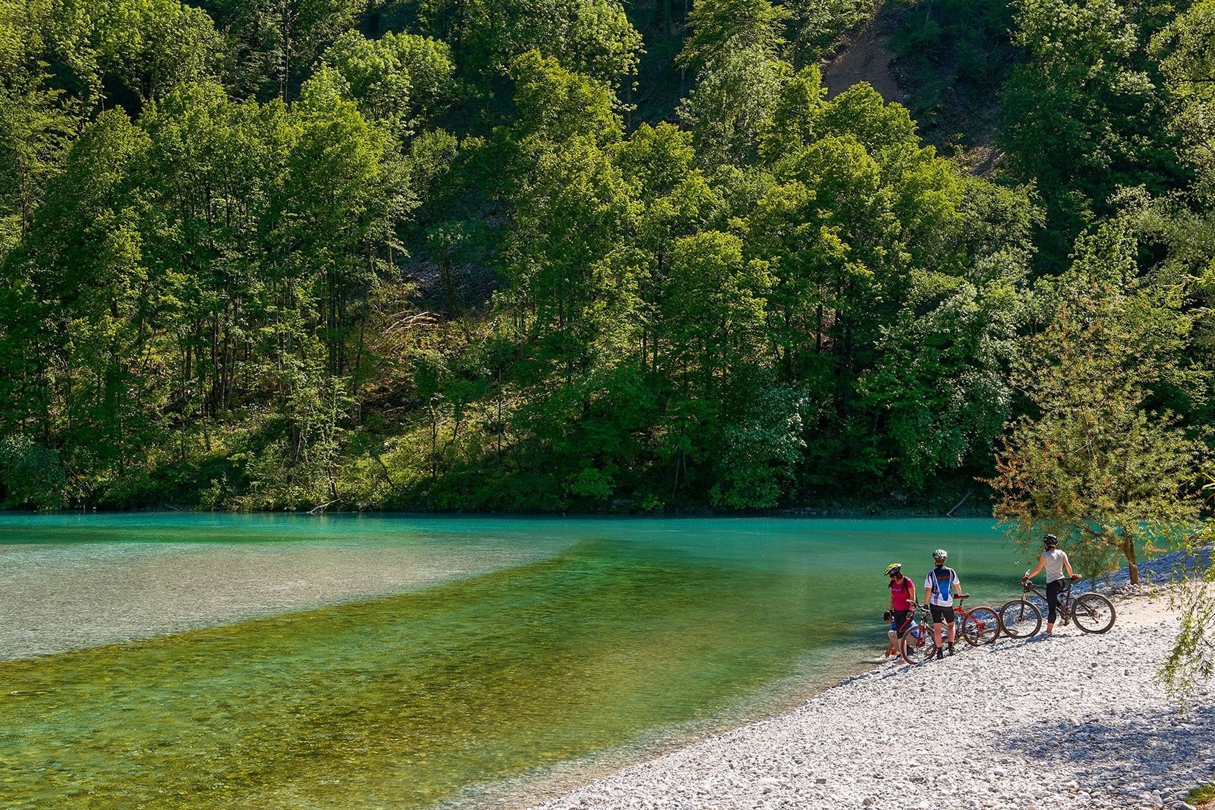
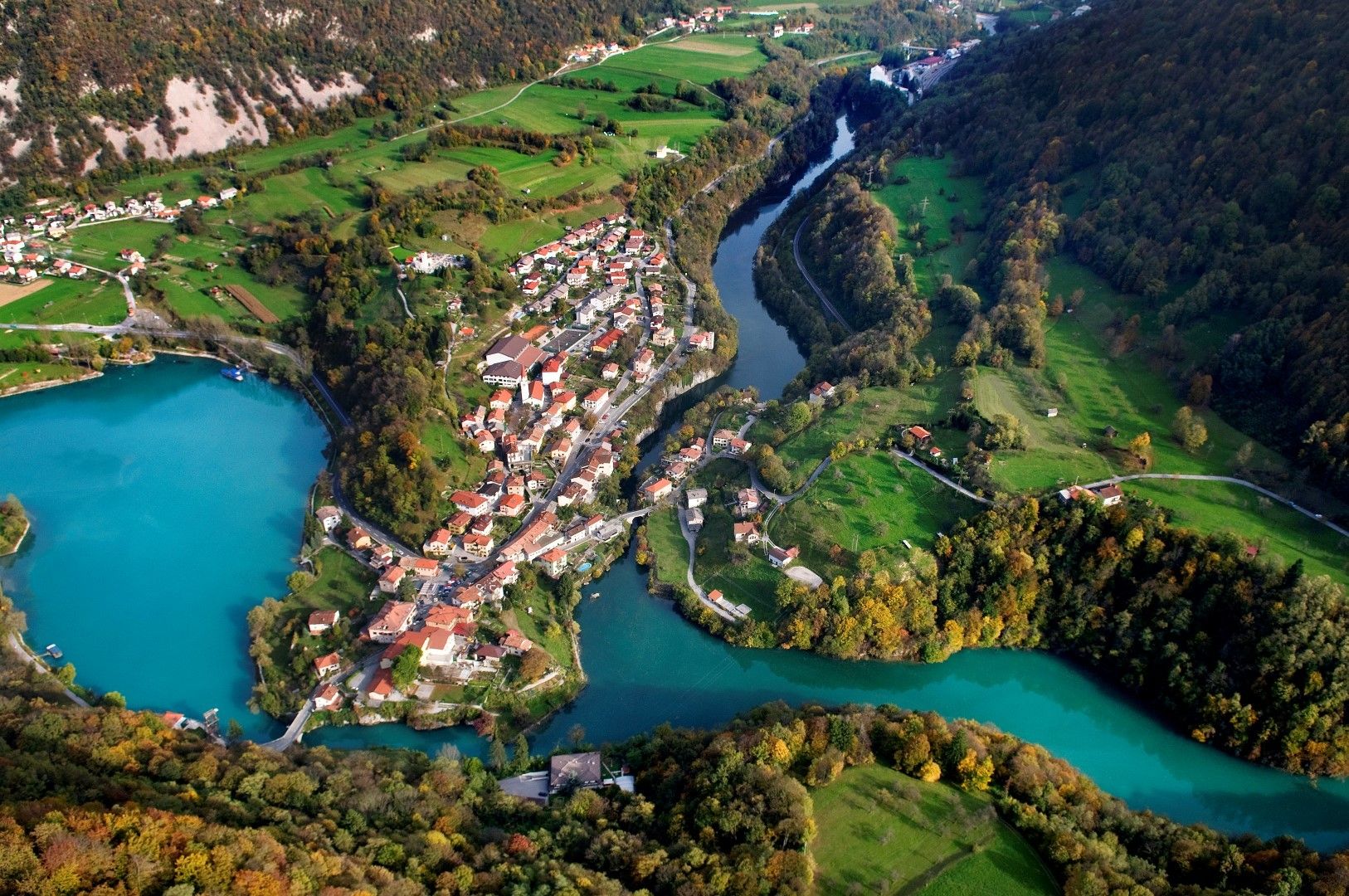
This undemanding and picturesque circular tour is routed around the approximately 650-m-high Mt. Senica which offers excellent views of the emerald Soča River and the Krn and Kanin Mountain ranges.
- Teškoća
-
lagano
- Vrednovanje
-
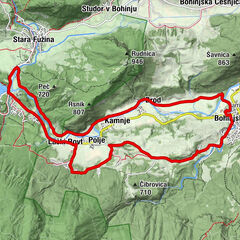
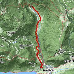
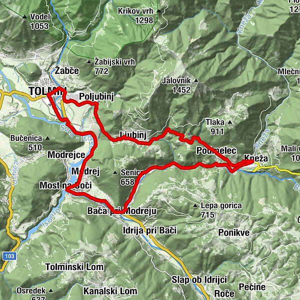
- Wegverlauf
-
Tolmein0,0 kmGostilna in pizzerija prj Martini0,0 kmPalbin2,3 kmPrapetna2,9 kmLjubinj4,8 kmHum7,5 kmPiedimelze9,0 kmKneža10,7 kmSveti Juraj10,7 kmKlavže12,2 kmBaccia16,8 kmPostaja17,4 kmStopec17,6 kmSanta Lucia18,9 kmRestaurant SKRT19,0 kmModrea19,9 kmTolmein24,1 km
- Beste Jahreszeit
-
sijveljožutrasvilipsrpkolrujlisstupro
- Höchster Punkt
- 392 m
- Zielpunkt
-
Tolmin
- Höhenprofil
-
 © outdooractive.com

- Autor
-
Die Tour Cycling tour around Mt. Senica wird von outdooractive.com bereitgestellt.
GPS Downloads


Opće informacije
Kulturell/Historisch
Weitere Touren in den Regionen
-
Goriška
34
-
Most na Soči
15