© Turizem Dolina Soce - Ksenija Vogrinc

© Turizem Dolina Soce - Ksenija Vogrinc

© Turizem Dolina Soce - Ksenija Vogrinc

© Turizem Dolina Soce - Ksenija Vogrinc

© Turizem Dolina Soce - Ksenija Vogrinc

© Turizem Dolina Soce - Ksenija Vogrinc

© Turizem Dolina Soce - Ksenija Vogrinc

© Turizem Dolina Soce - Ksenija Vogrinc

© Turizem Dolina Soce - Ksenija Vogrinc

© Turizem Dolina Soce - Ksenija Vogrinc

- Kratak opis
-
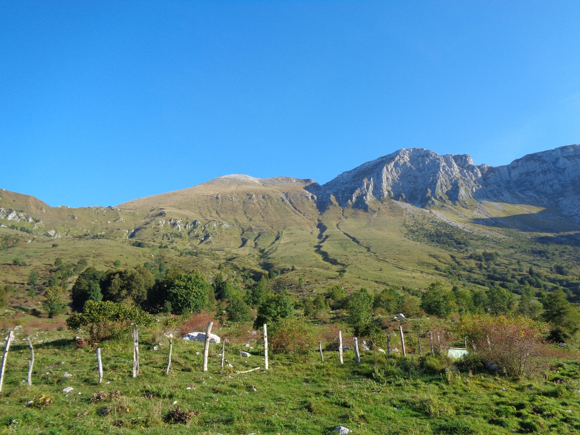
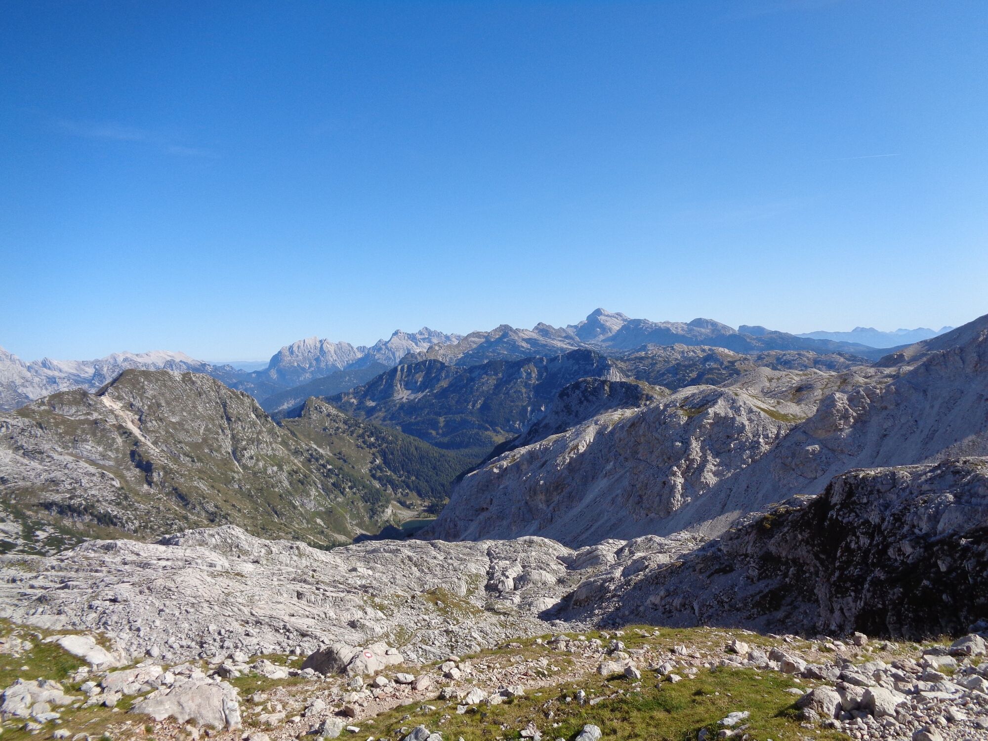
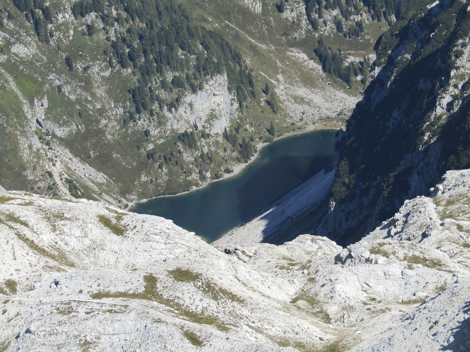
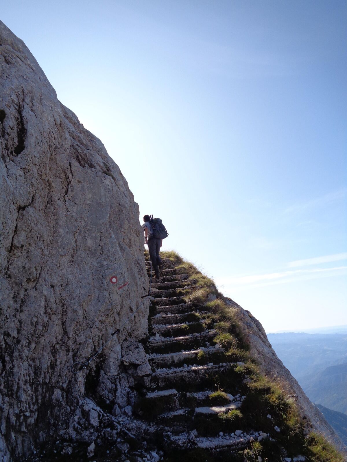
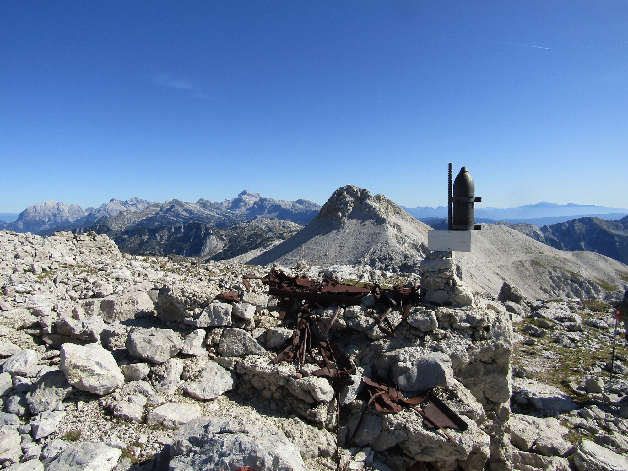
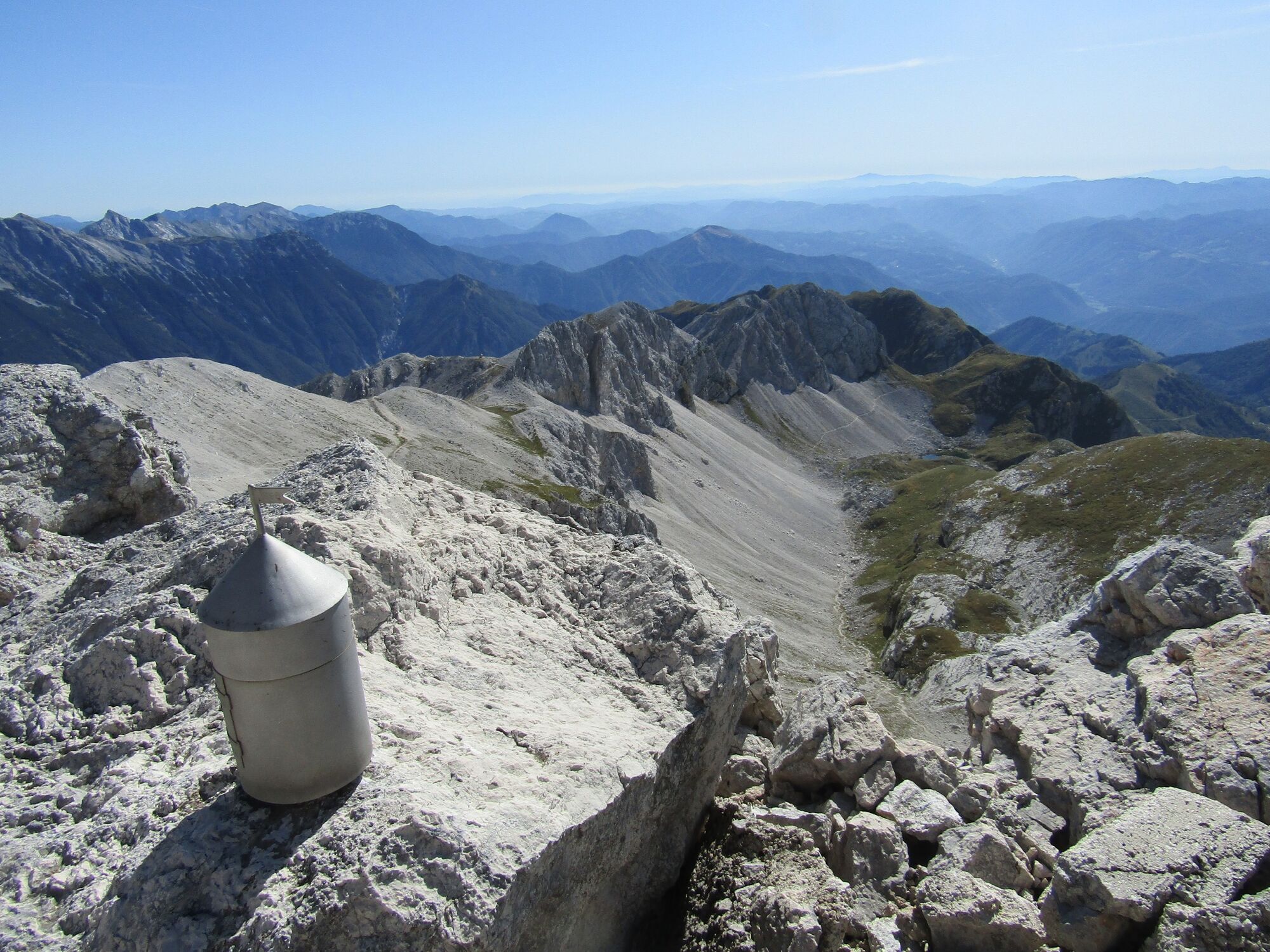
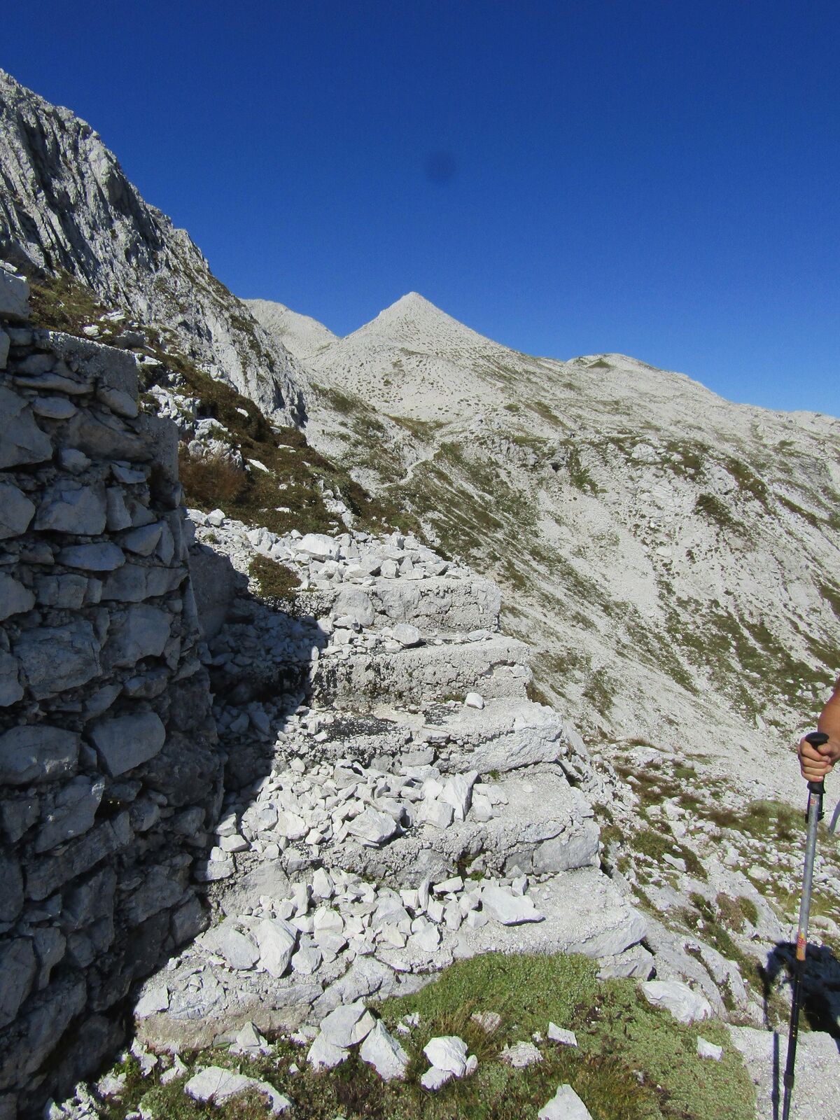
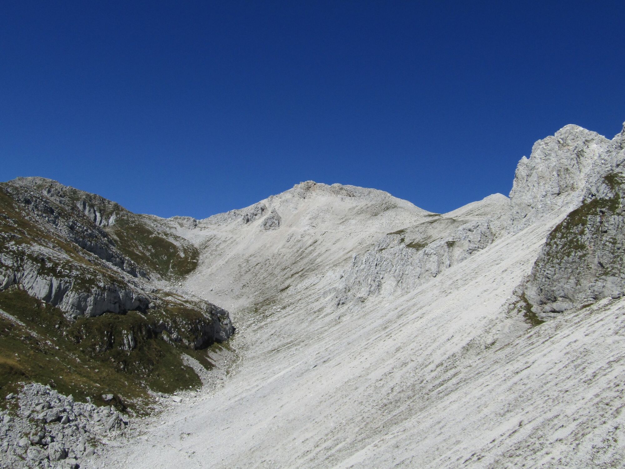
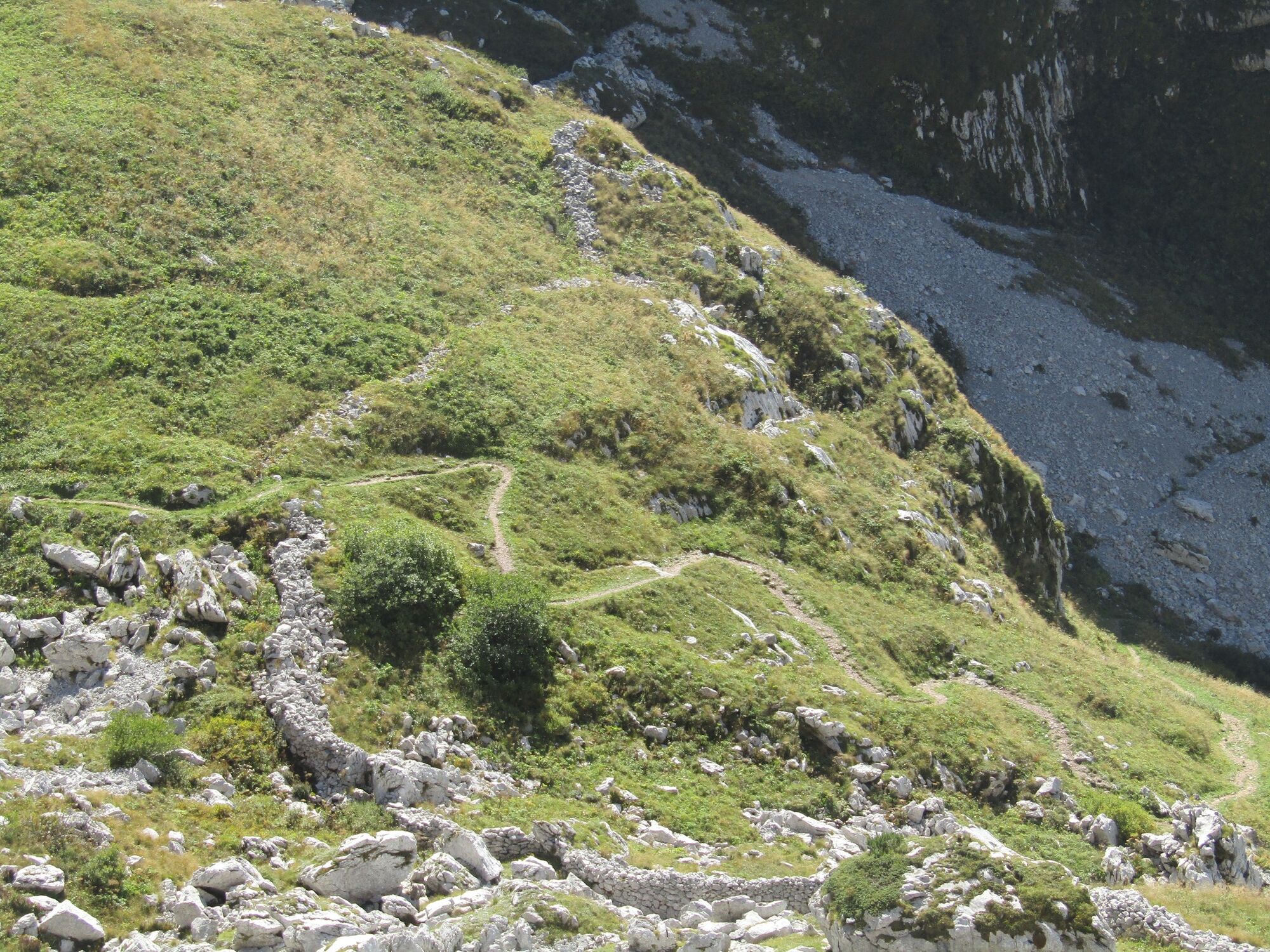
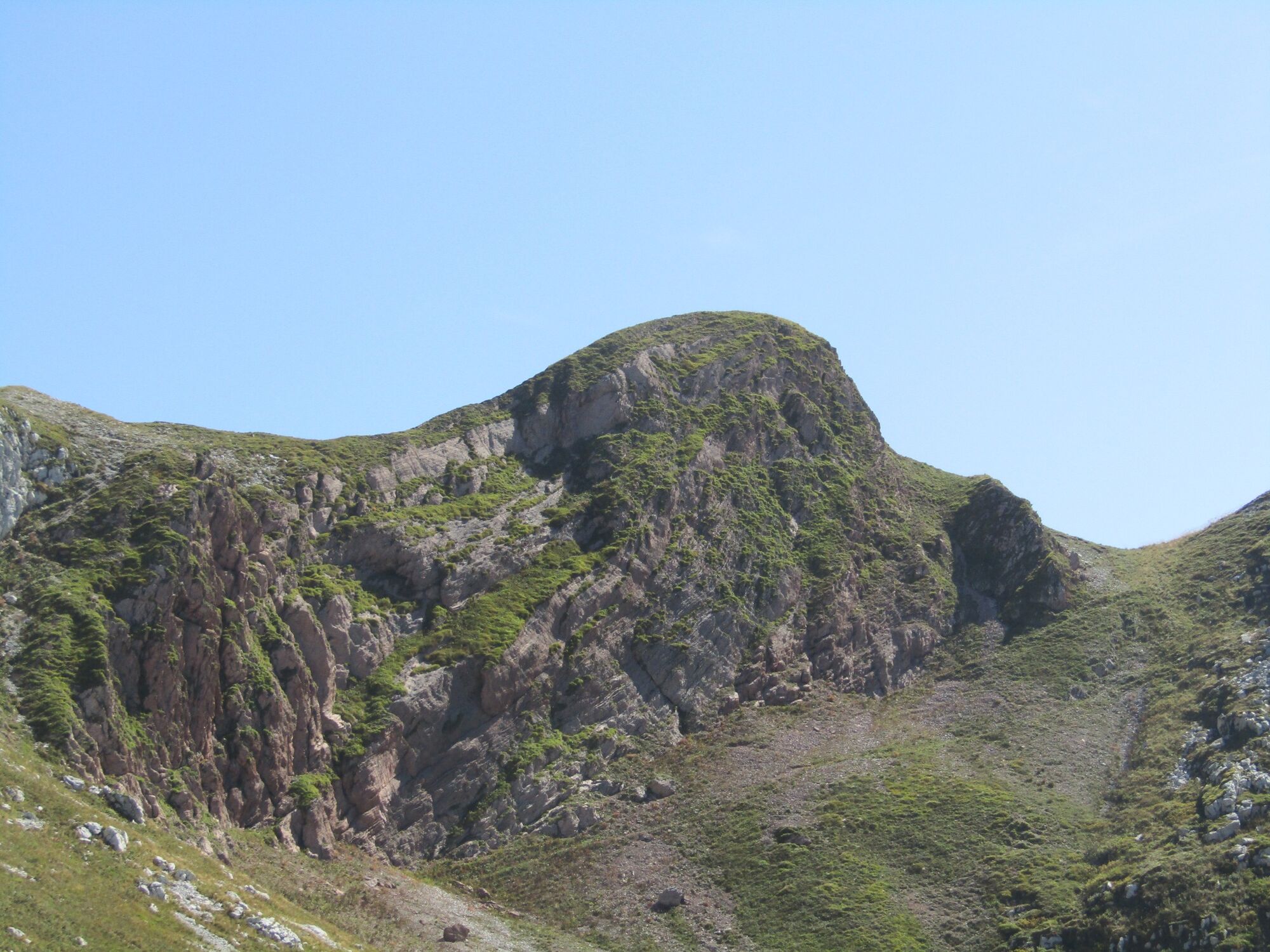
Mt. Vrh nad Peski is a prominent cone-shaped mountain in the middle of the white Peski scree slopes whose whiteness is well visible from all of the surrounding peaks. It can be accessed along several trails, however, it is still a peak where you can enjoy in silence.
- Teškoća
-
srednje
- Vrednovanje
-
- Wegverlauf
-
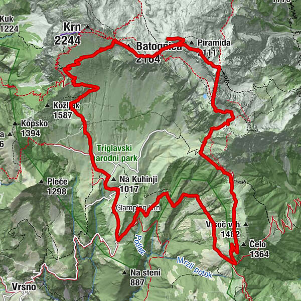
Planina Kuhinja0,3 kmKrnska škrbina (2.058 m)4,9 kmMonte Rosso (2.164 m)5,3 kmVrh nad Peski (2.176 m)6,9 kmMali Peski (2.063 m)8,0 kmPeski8,3 kmPlanina Sleme11,7 kmPolog16,7 kmKrennberg17,7 kmCerkev sv. Roka17,8 km
- Beste Jahreszeit
-
sijveljožutrasvilipsrpkolrujlisstupro
- Höchster Punkt
- 2.144 m
- Zielpunkt
-
Mt. Vrh nad Peski (2,176 m)
- Höhenprofil
-
 © outdooractive.com
-

-
AutorDie Tour Mt. Vrh nad Peski (2,176 m) across Mt. Batognica (2,165 m) wird von outdooractive.com bereitgestellt.
GPS Downloads


Opće informacije
Einkehrmöglichkeit
Kulturell/Historisch
Geheimtipp
Flora
Aussichtsreich