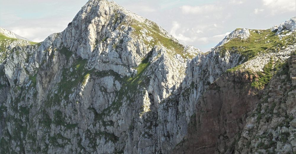
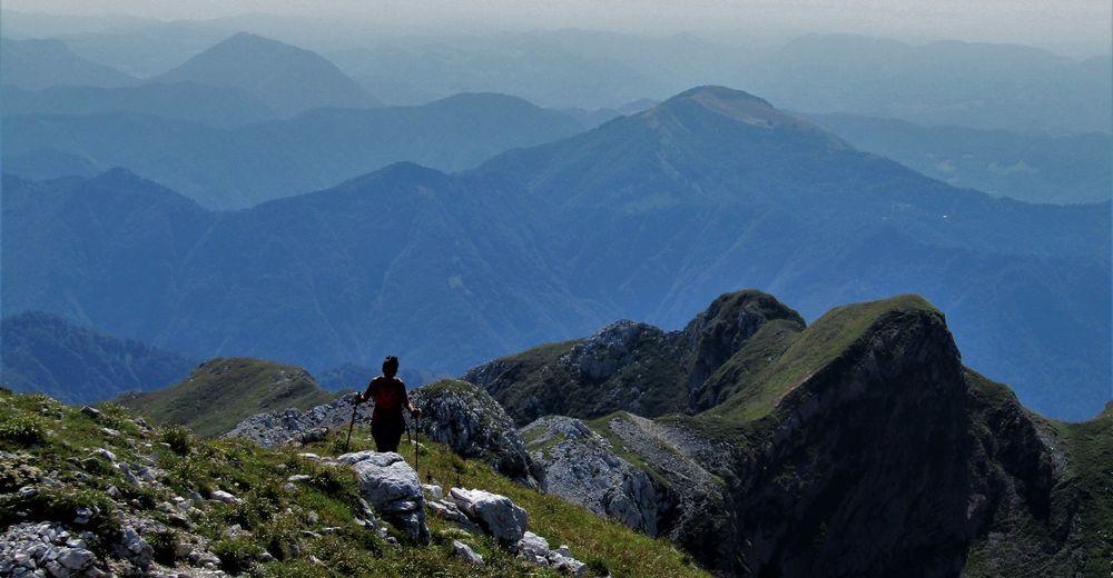
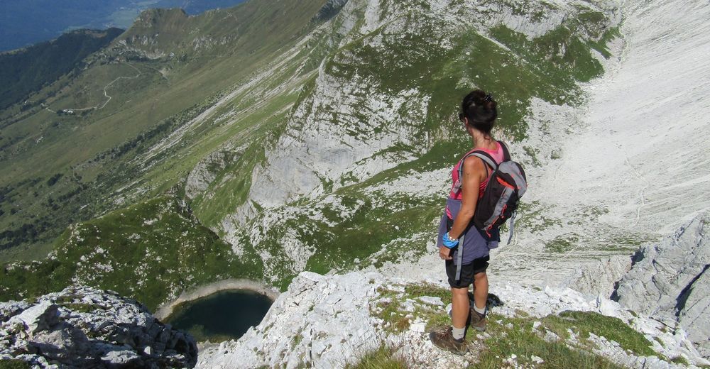
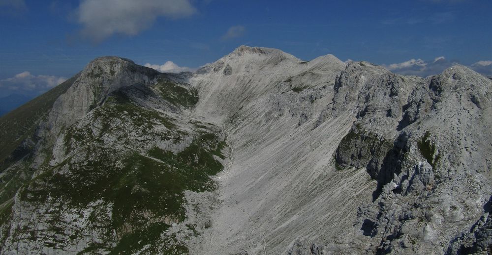
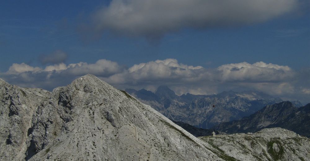
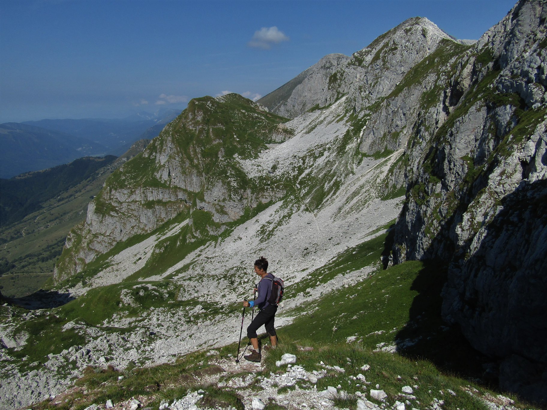
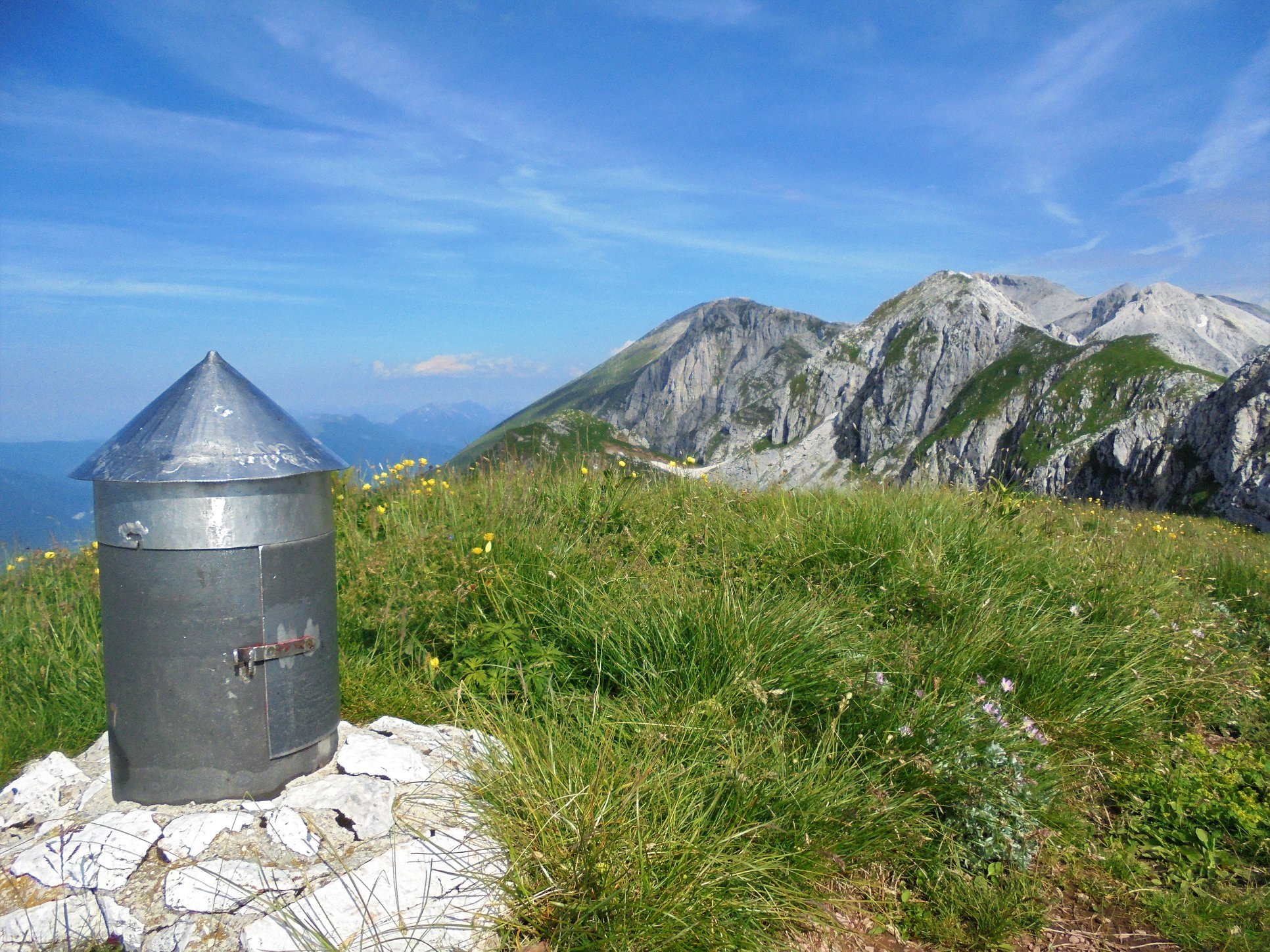
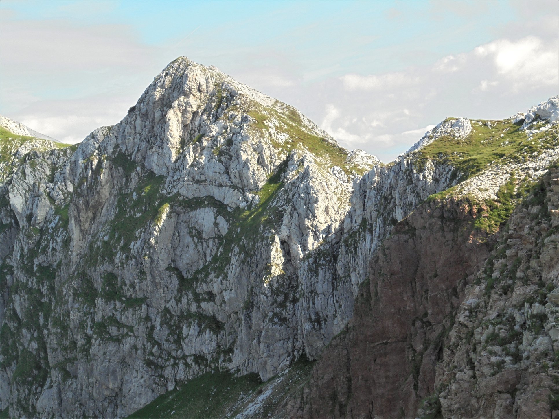
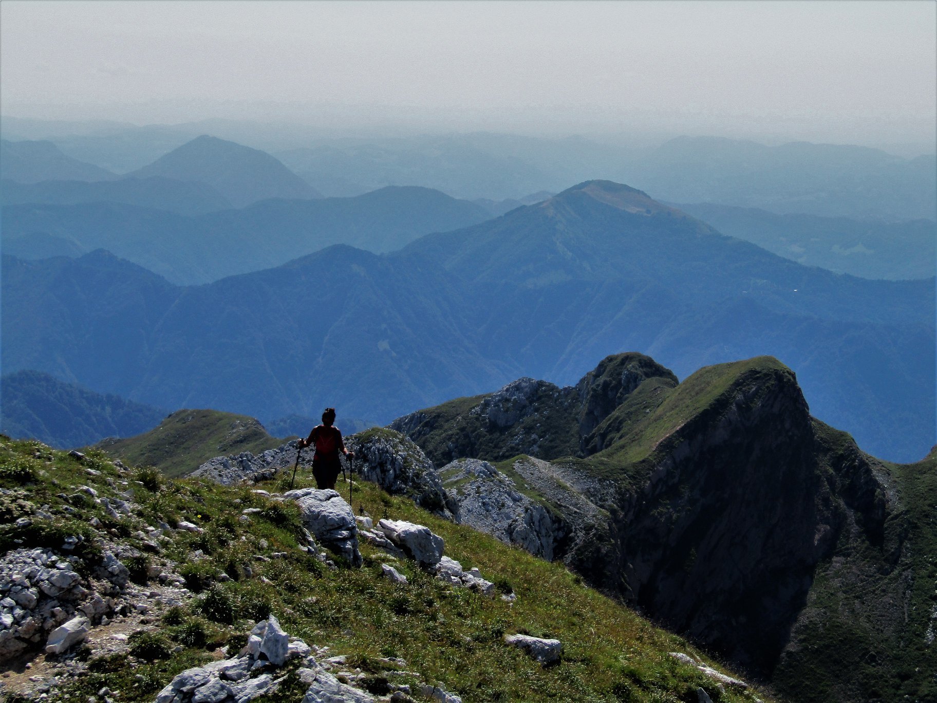
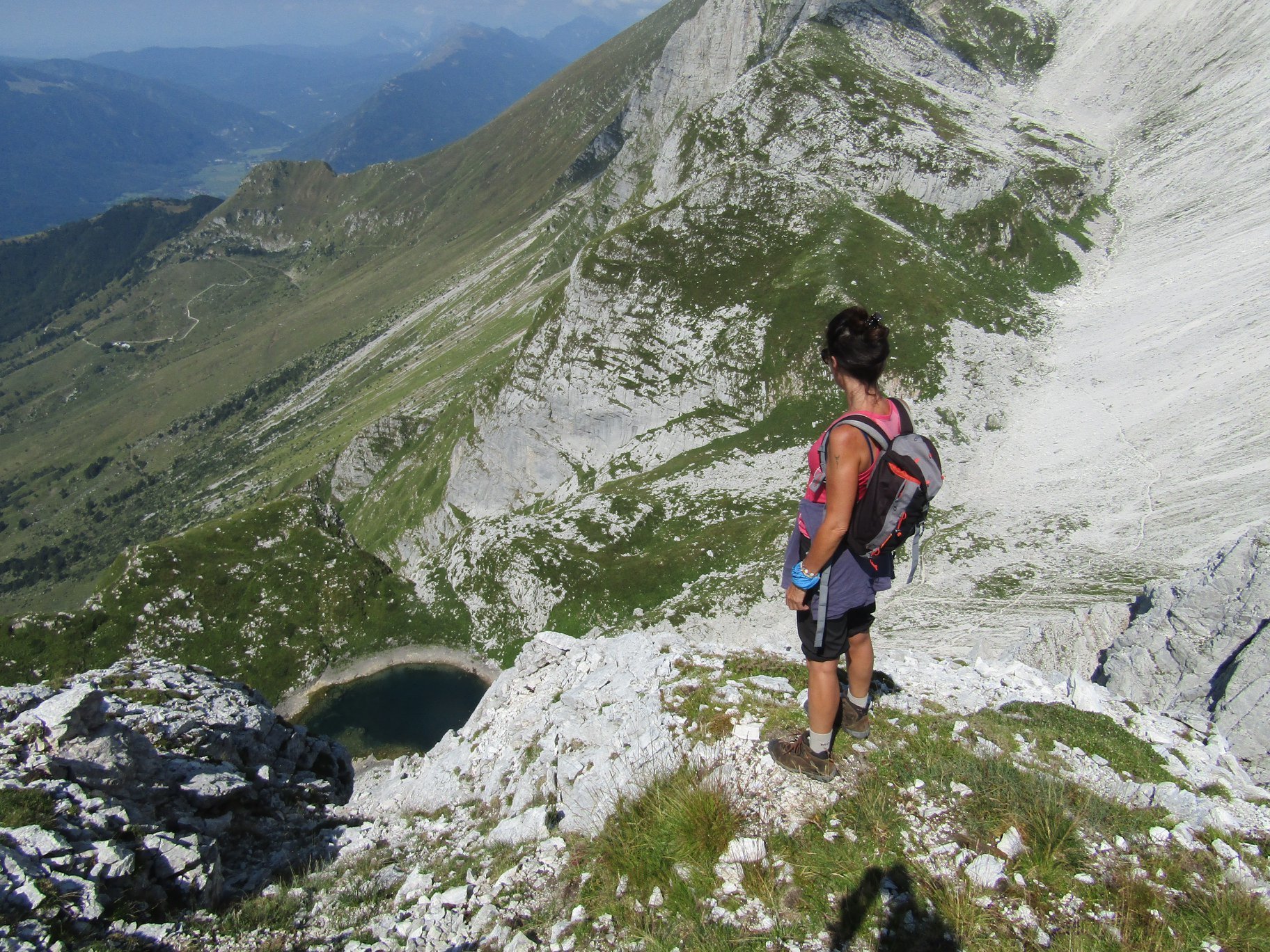
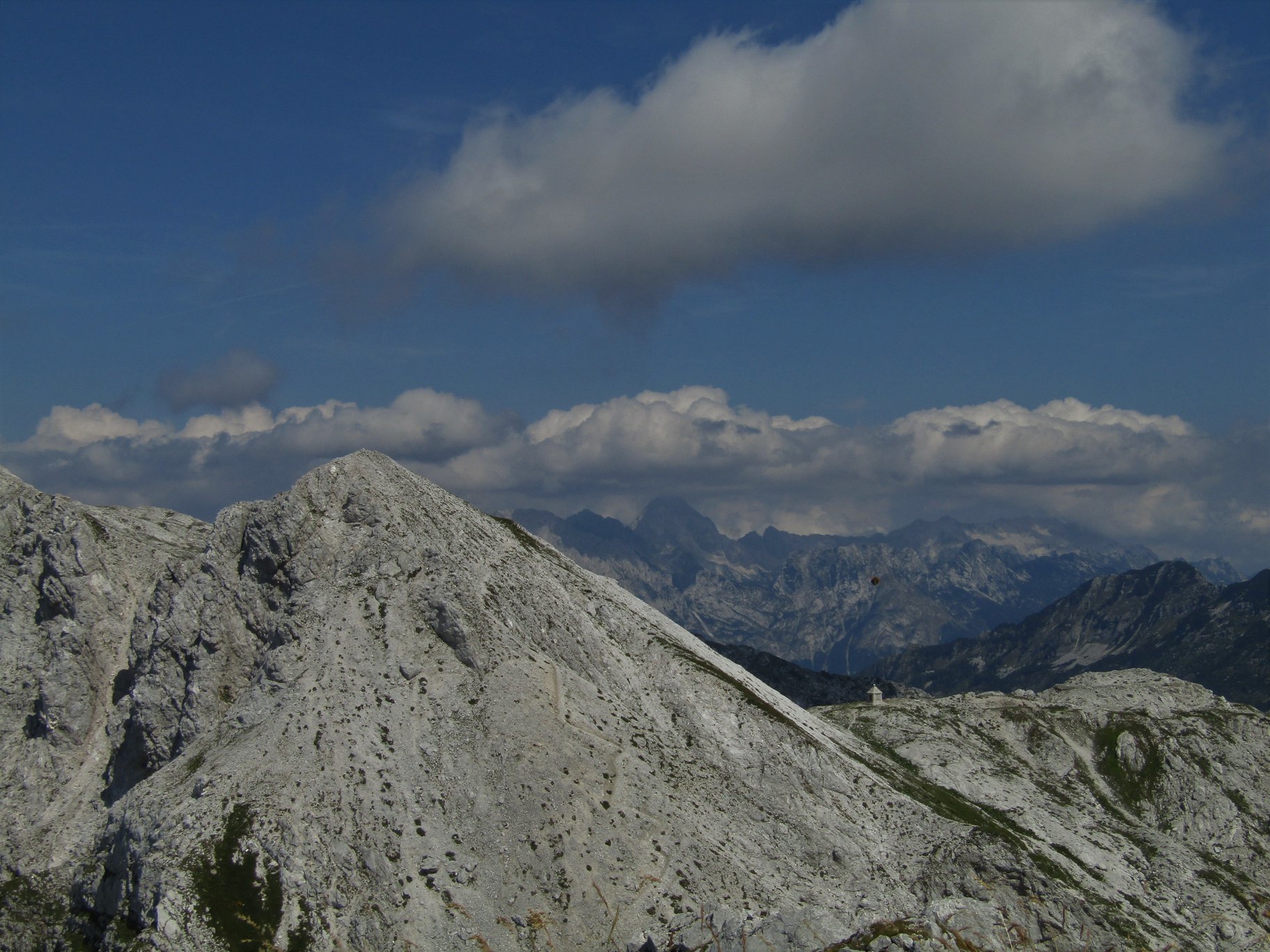
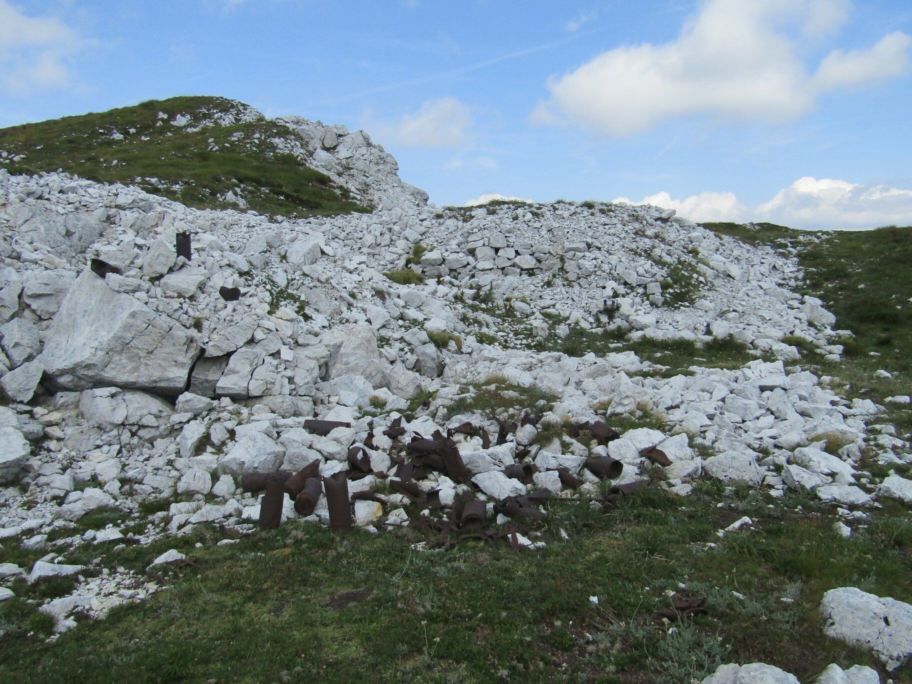
Mt. Rdeči rob (1913) and Mt. Škofič (2013), two wonderful sightseeing hills above the Kuhinja Mountain pasture

© Turizem Dolina Soce - Ksenija Vogrinc
© Turizem Dolina Soce - Ksenija Vogrinc
© Turizem Dolina Soce - Ksenija Vogrinc
© Turizem Dolina Soce - Ksenija Vogrinc
© Turizem Dolina Soce - Ksenija Vogrinc
© Turizem Dolina Soce - Ksenija Vogrinc
© Turizem Dolina Soce - Ksenija Vogrinc
© Turizem Dolina Soce - Ksenija Vogrinc

© Turizem Dolina Soce - Ksenija Vogrinc
© Turizem Dolina Soce - Ksenija Vogrinc

- Kratak opis
-
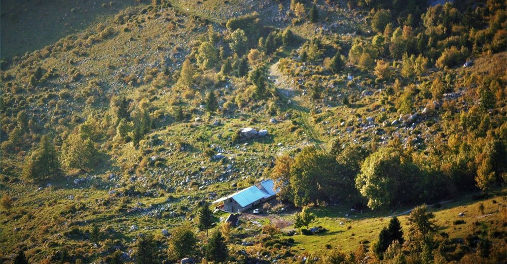
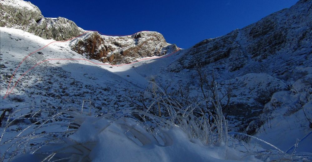
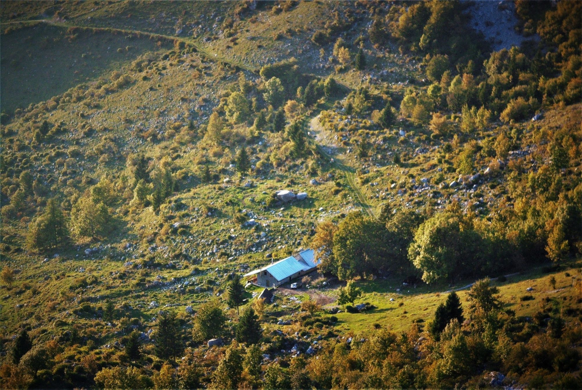
You can reach these prominent mountains above the Kuhinja Mountain pasture along a comfortable cart trail to the Leskovca Mountain pasture which turns into a well-marked hiking trail.
- Teškoća
-
srednje
- Vrednovanje
-
- Wegverlauf
-
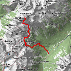
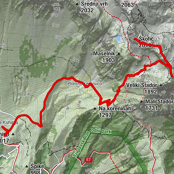
Planina KuhinjaPlanina Leskovca2,2 kmRdeči rob (1.912 m)4,9 kmŠkofič (2.013 m)5,9 kmPlanina Leskovca9,2 kmPlanina Kuhinja11,5 km
- Beste Jahreszeit
-
sijveljožutrasvilipsrpkolrujlisstupro
- Höchster Punkt
- 1.968 m
- Zielpunkt
-
Mt Rdeči rob, Mt. Škofič
- Höhenprofil
-
 © outdooractive.com

-

-
AutorDie Tour Mt. Rdeči rob (1913) and Mt. Škofič (2013), two wonderful sightseeing hills above the Kuhinja Mountain pasture wird von outdooractive.com bereitgestellt.
GPS Downloads


Opće informacije
Flora
Aussichtsreich