


- Kratak opis
-
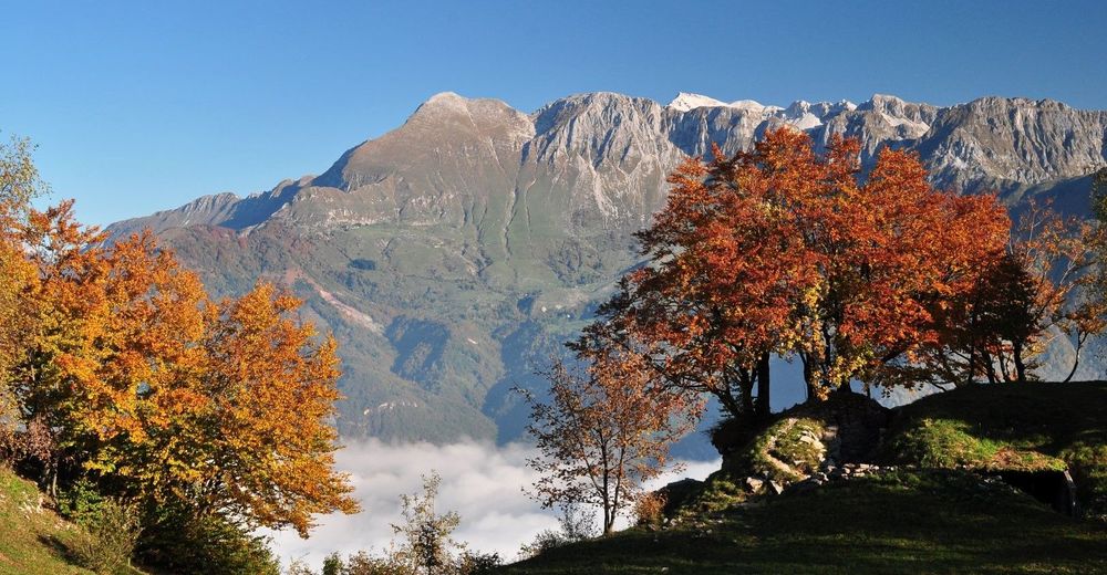
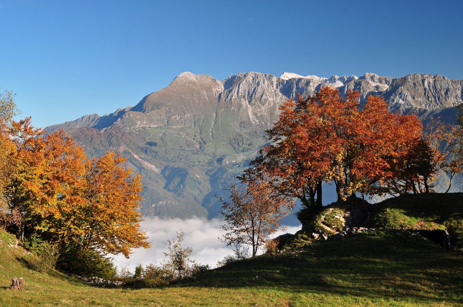
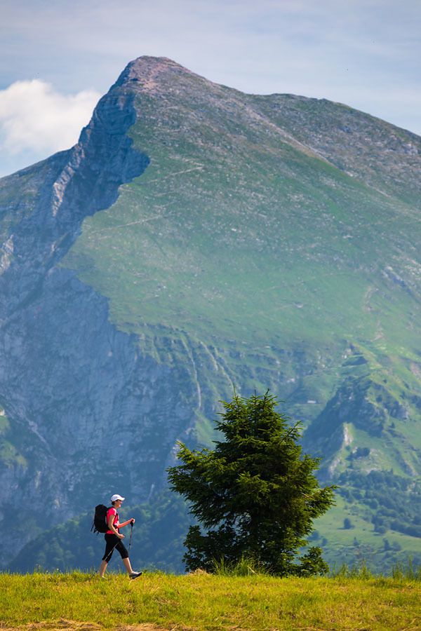
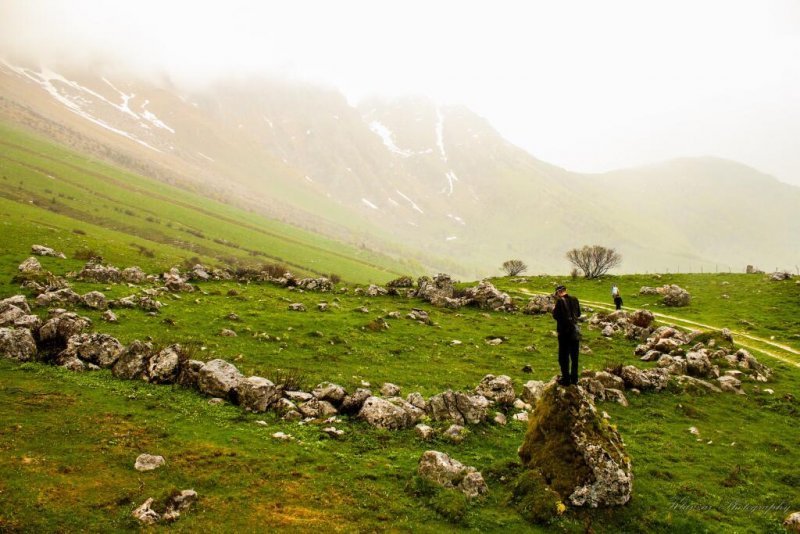
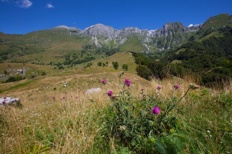
This trail to Mt. Krn is one of technically easier hiking trails ascending on a two-thousand-metre-high mountain in the Soča Valley. In case of nice weather, the top of Mt. Krn offers splendid views of the Soča Valley, Julian Alps, and the Adriatic Sea.
- Teškoća
-
srednje
- Vrednovanje
-
- Wegverlauf
-
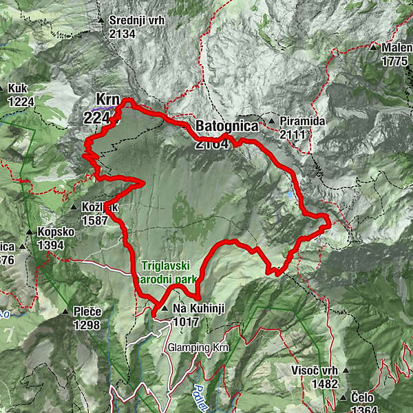
Planina Kuhinja0,3 kmGomiščkovo zavetišče na Krnu5,5 kmKrennberg (2.244 m)5,7 kmKrnska škrbina (2.058 m)6,4 kmMonte Rosso (2.164 m)6,7 kmPlanina Leskovca11,9 kmPlanina Kuhinja13,9 km
- Beste Jahreszeit
-
sijveljožutrasvilipsrpkolrujlisstupro
- Höchster Punkt
- 2.210 m
- Zielpunkt
-
Mt. Krn (2244 m)
- Höhenprofil
-
 © outdooractive.com
- Autor
-
Die Tour Mt. Krn (2244 m) from the Kuhinja Mountain pasture wird von outdooractive.com bereitgestellt.
GPS Downloads


Opće informacije
Kulturell/Historisch
Flora
Fauna
Aussichtsreich


