

© Turizem Dolina Soce - Ksenija Vogrinc

© Turizem Dolina Soce - Ksenija Vogrinc

© Turizem Dolina Soce - Ksenija Vogrinc

© Turizem Dolina Soce - Ksenija Vogrinc

© Turizem Dolina Soce - Ksenija Vogrinc

© Turizem Dolina Soce - Ksenija Vogrinc

© Turizem Dolina Soce - Ksenija Vogrinc

© Turizem Dolina Soce - Ksenija Vogrinc

© Turizem Dolina Soce - Ksenija Vogrinc

© Turizem Dolina Soce - Ksenija Vogrinc


- Kratak opis
-
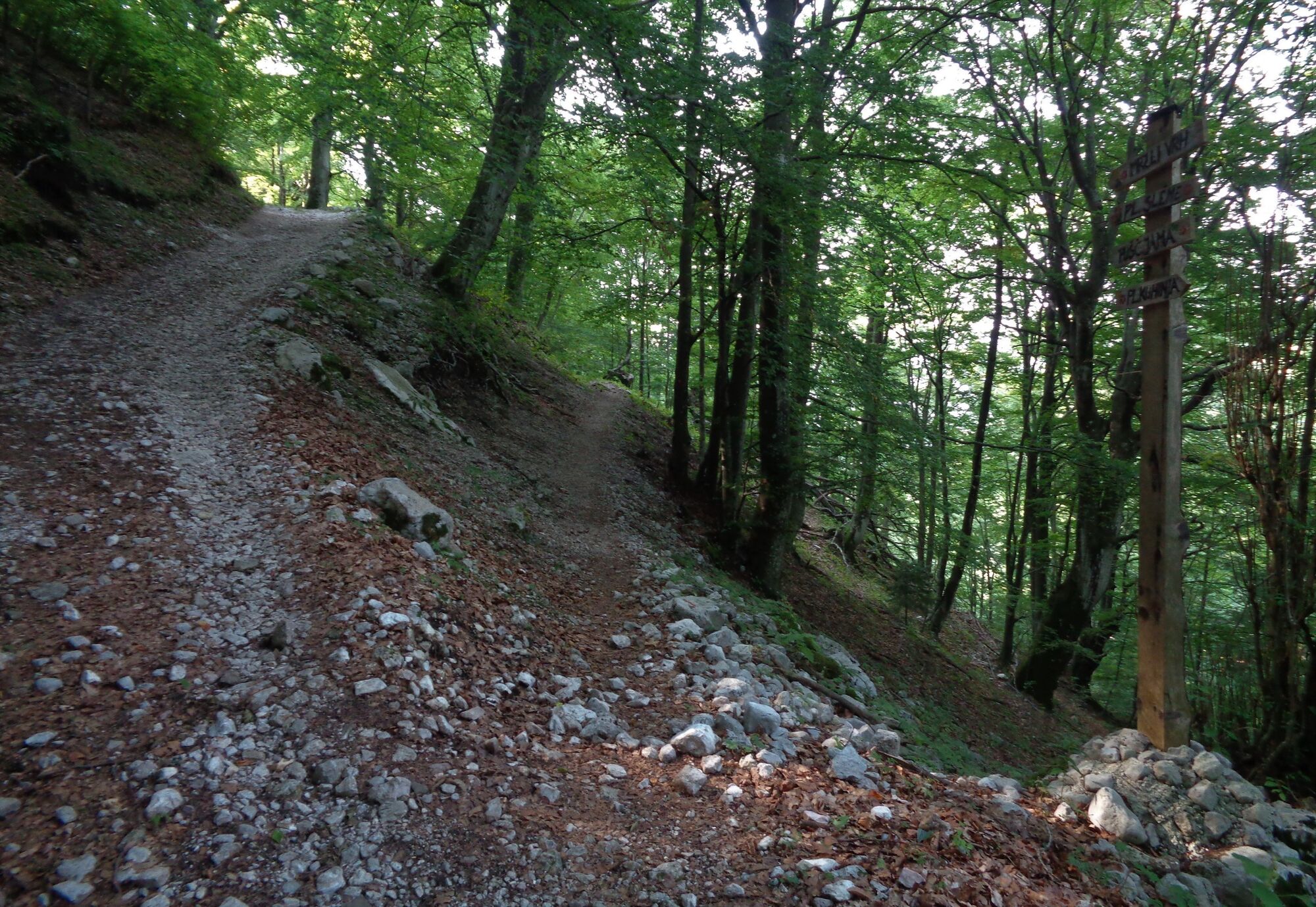
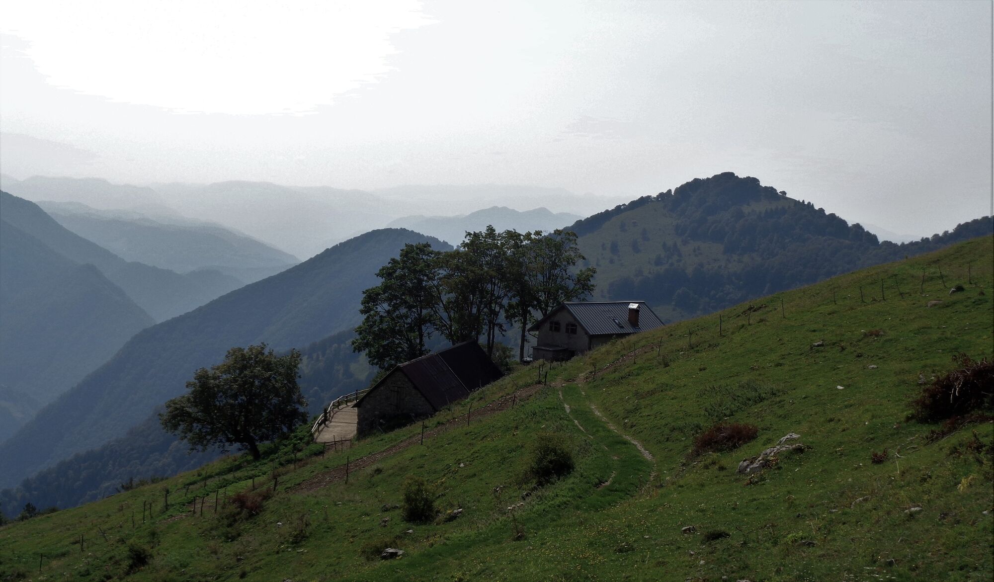
The tour around Mt. Visoči vrh is an excellent choice in the summer heat because it is mostly routed through a wonderful beech forest. The quietness of this secluded trail is disturbed only by the tinkling of cow bells.
- Teškoća
-
srednje
- Vrednovanje
-
- Wegverlauf
-
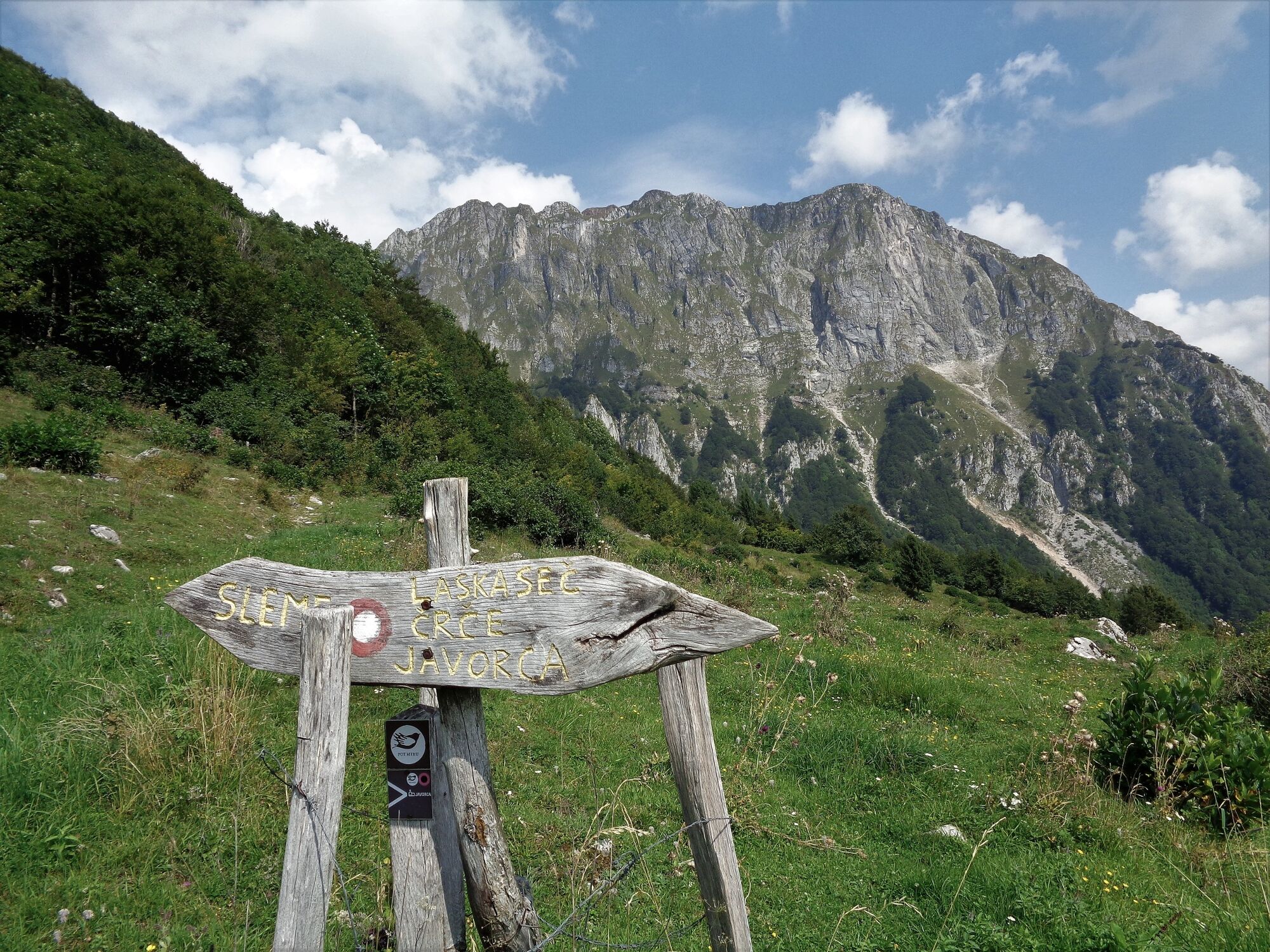
Planina Sleme6,7 kmPlanina Leskovca8,4 kmPlanina Kuhinja10,4 km
- Beste Jahreszeit
-
sijveljožutrasvilipsrpkolrujlisstupro
- Höchster Punkt
- 1.448 m
- Zielpunkt
-
Around Mt. Visoči vrh
- Höhenprofil
-
 © outdooractive.com


-

-
AutorDie Tour Tour around Mt. Visoči vrh wird von outdooractive.com bereitgestellt.
GPS Downloads


Opće informacije
Einkehrmöglichkeit
Kulturell/Historisch
Geheimtipp
Flora
Aussichtsreich


