
- Kratak opis
-
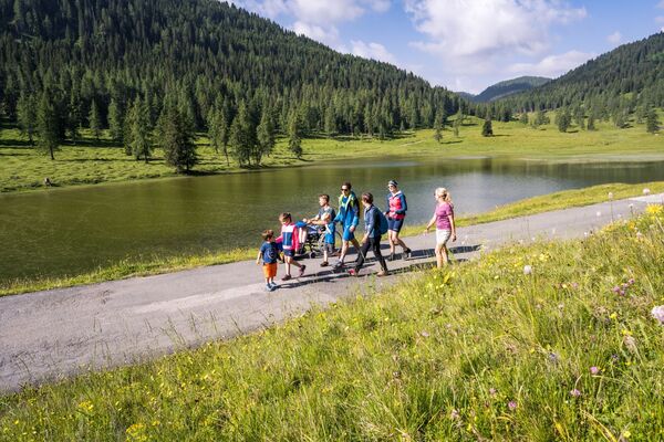
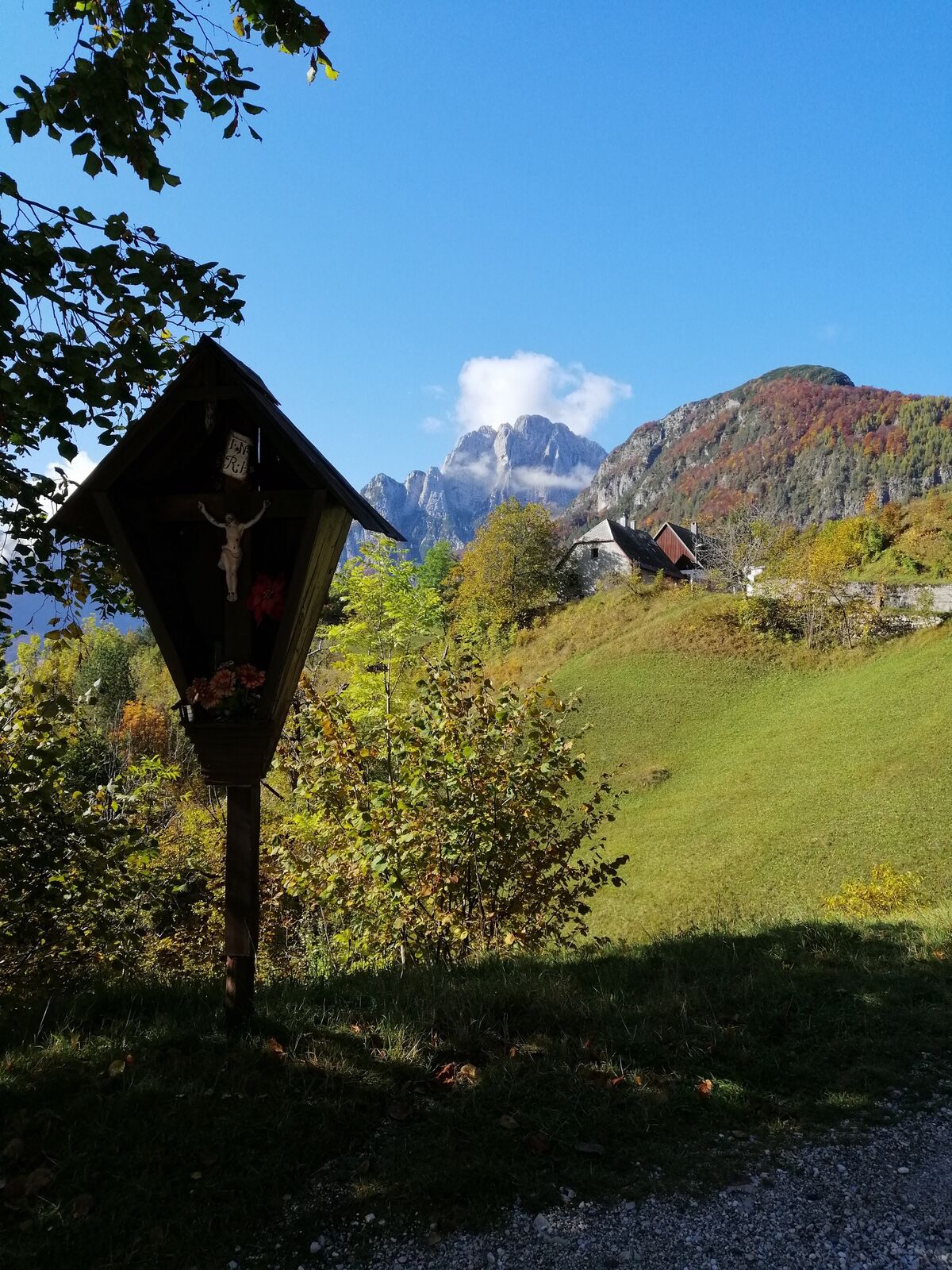
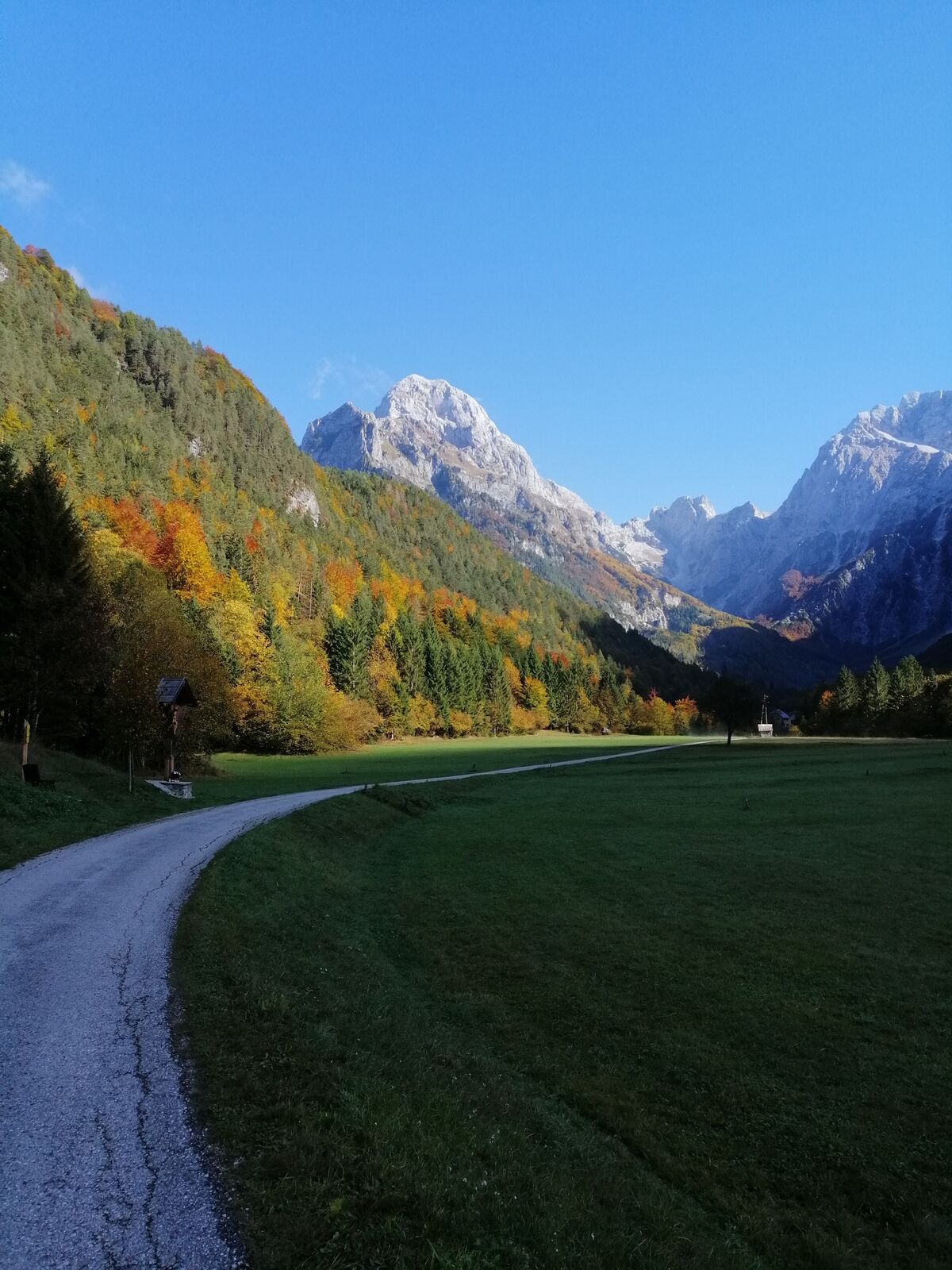
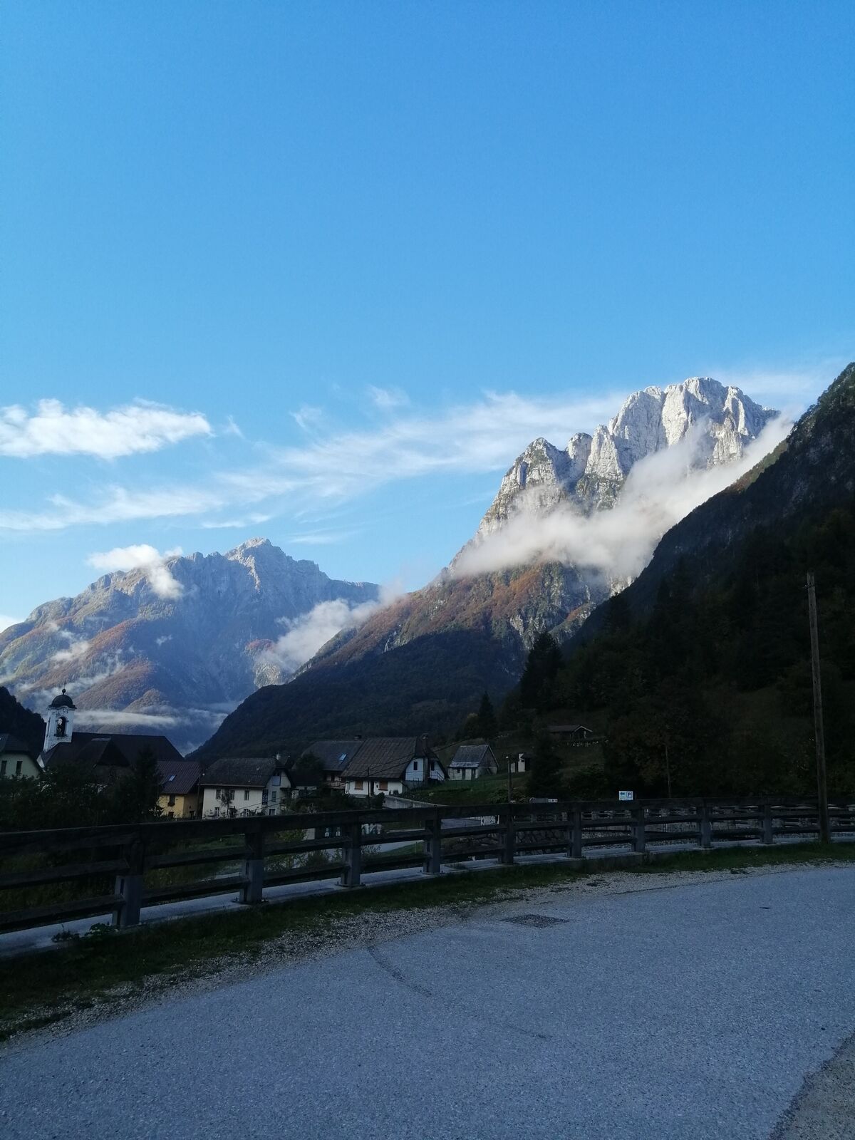
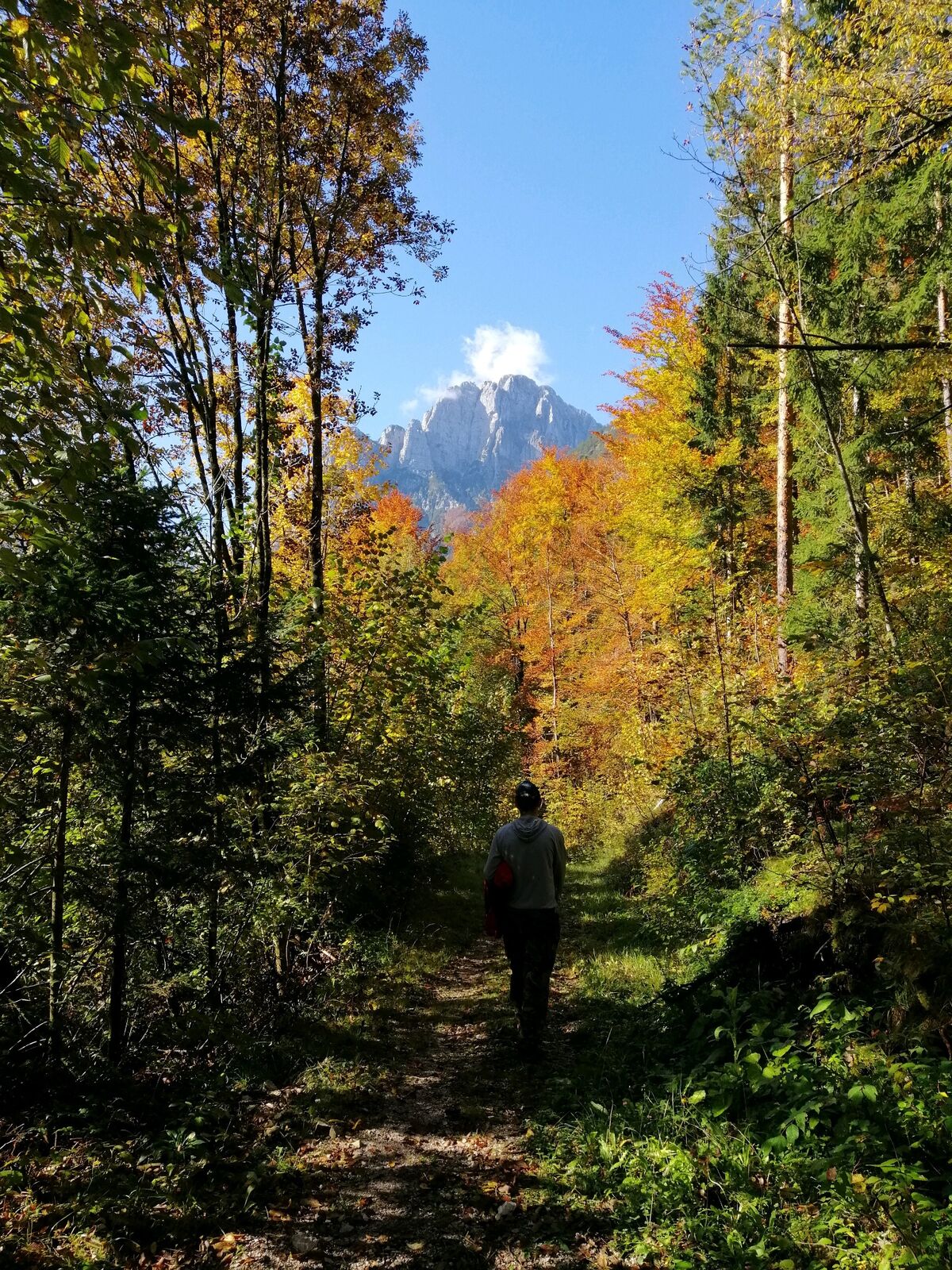
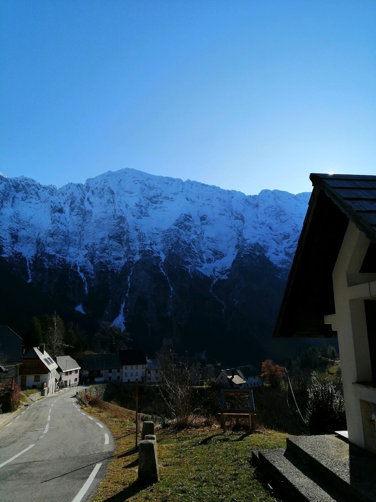
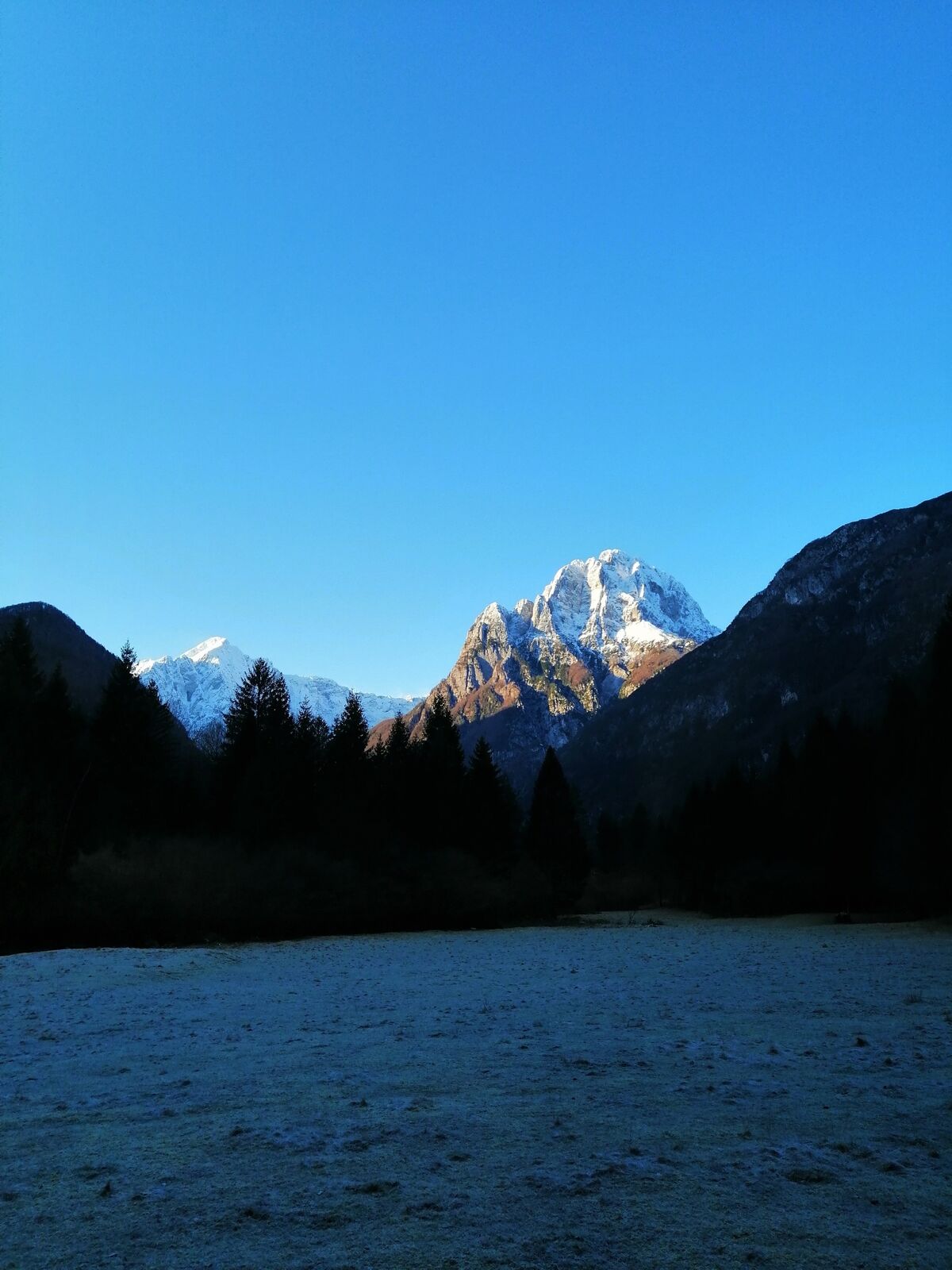
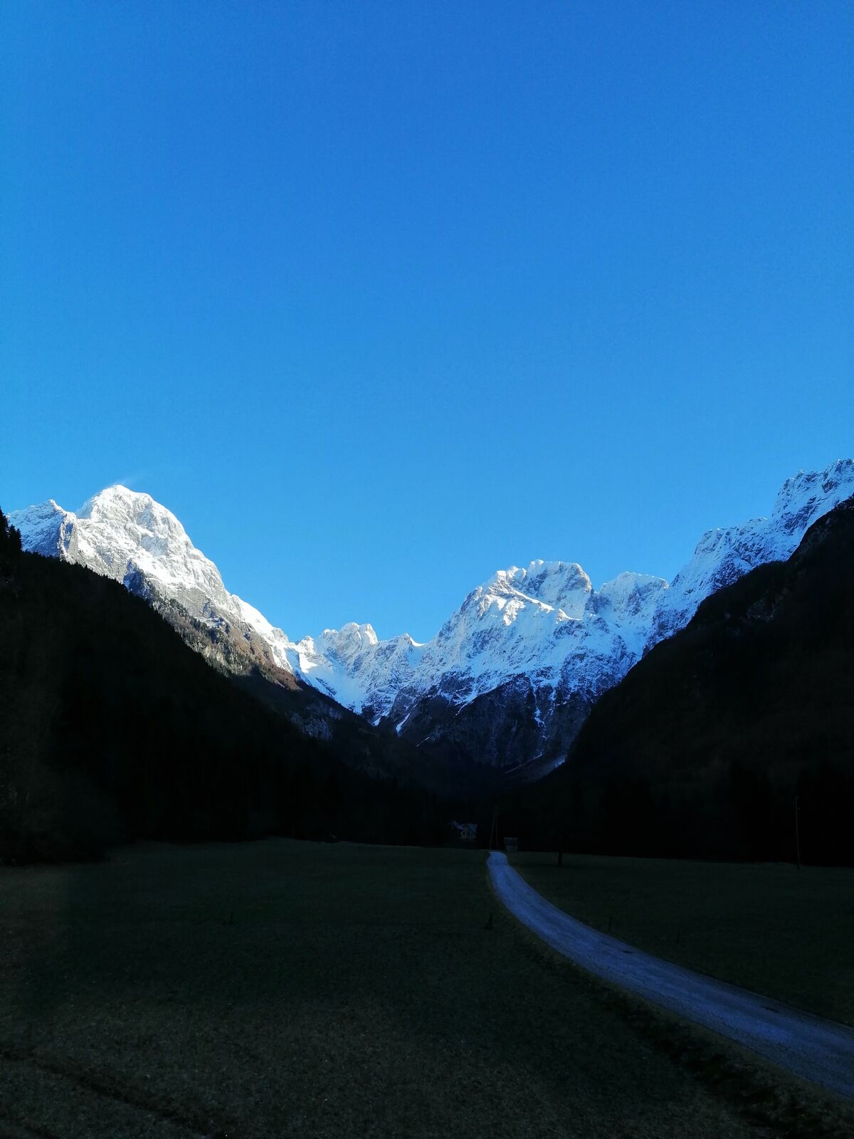
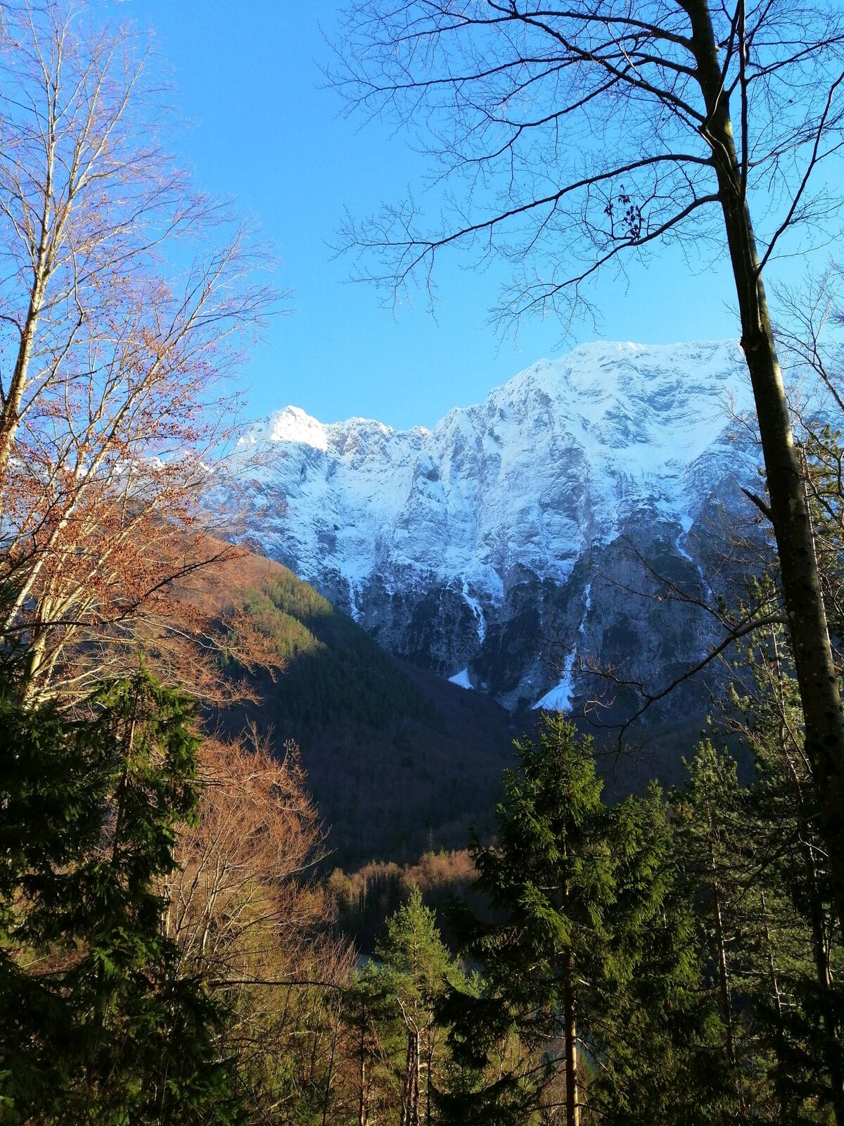
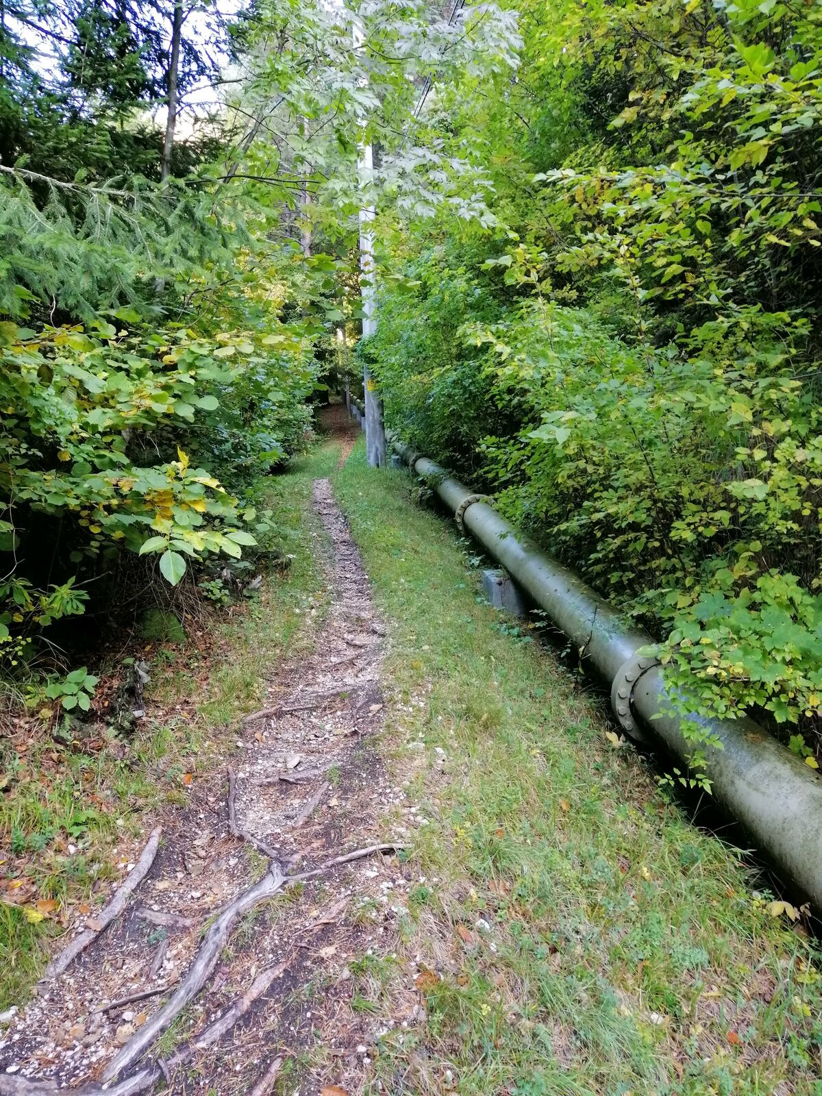
Hiking trail to the village of Strmec – the finest sightseeing point with a view of the Loška stena Mountain wall rising above the valley of the Koritnica River.
- Teškoća
-
srednje
- Vrednovanje
-
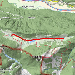
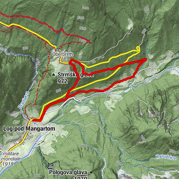
- Wegverlauf
-
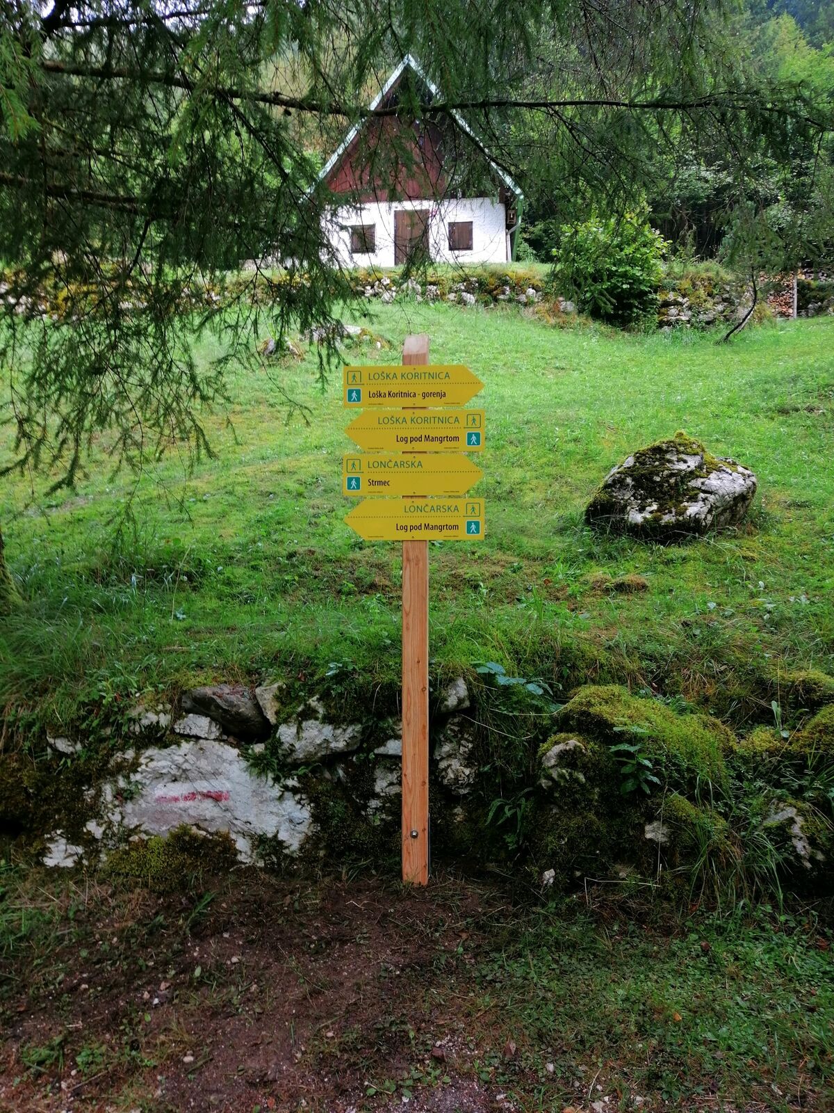
BrettendorfOberbreth3,5 kmBrettendorf4,8 km
- Beste Jahreszeit
-
sijveljožutrasvilipsrpkolrujlisstupro
- Höchster Punkt
- 946 m
- Zielpunkt
-
Strmec
- Höhenprofil
-
 © outdooractive.com

-

-
AutorDie Tour Hiking along the trails “Lončarska” and “Po mostiču” wird von outdooractive.com bereitgestellt.
GPS Downloads


Opće informacije
Heilklima
Flora
Fauna
Aussichtsreich
Weitere Touren in den Regionen