© Arosa Lenzerheide - Arosa Tourismus

© Graubünden Ferien - Marco Hartmann

© Arosa Lenzerheide - Anina Flüeler

© Arosa Lenzerheide - Anina Flüeler

© Arosa Lenzerheide - Arosa Tourismus

© Arosa Lenzerheide - Arosa Tourismus


- Kratak opis
-
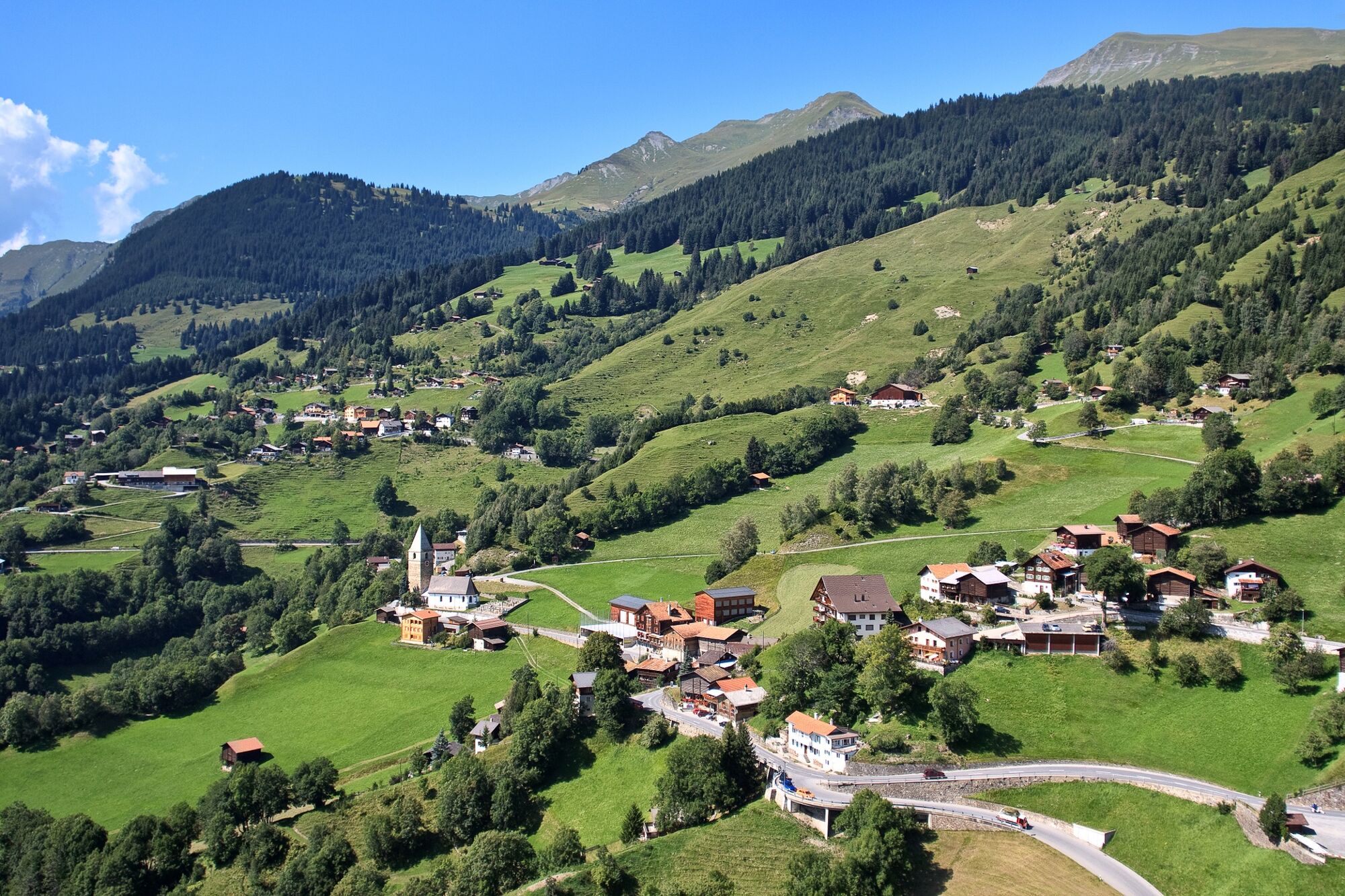
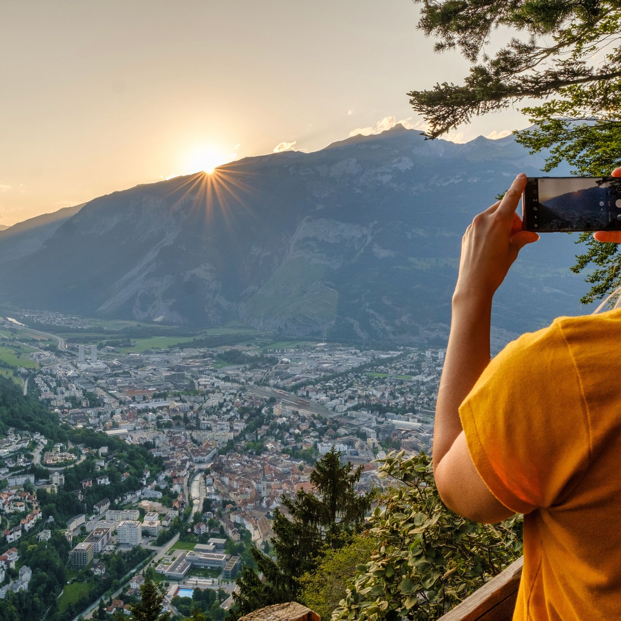
Unique alpine flora, wild ravines and mountain forests: The last stage of the Schanfigger Höhenweg is mainly characterised by the descent to Chur, which is a tough one with 1,500 metres of descent and a length of 15 km.
- Teškoća
-
teška
- Vrednovanje
-
- Wegverlauf
-
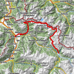
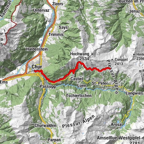
Skihaus Hochwang (1.958 m)0,0 kmBargun (1.774 m)3,4 kmLafet (1.856 m)4,5 kmHütta6,5 kmOber Platta6,7 kmZwüschet Platta6,9 kmBüel7,2 kmReformierte Kirche13,2 kmMaladers13,4 kmChisgruob13,9 kmTumma14,3 kmBrandacker14,7 kmSt. Luzius16,1 kmOrthodox Parish "St. Pious Parascheva"16,1 kmRegulakirche17,1 kmChur (593 m)17,6 km
- Beste Jahreszeit
-
sijveljožutrasvilipsrpkolrujlisstupro
- Höchster Punkt
- 1.956 m
- Zielpunkt
-
Chur
- Höhenprofil
-
 © outdooractive.com


- Autor
-
Die Tour Schanfigger Höhenweg, 6th route, Hochwang - Chur wird von outdooractive.com bereitgestellt.
GPS Downloads


Opće informacije
Einkehrmöglichkeit
Geheimtipp
Aussichtsreich
Weitere Touren in den Regionen
-
Heidiland
2200
-
Schanfigg
835
-
Tschiertschen-Praden
251