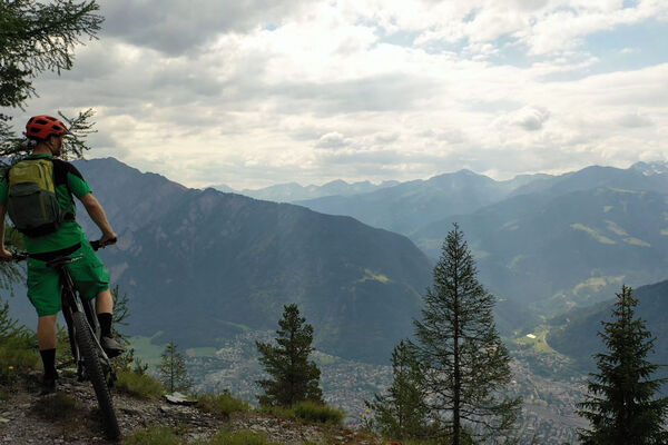
© Arosa Lenzerheide - Andrea Mende

© Arosa Lenzerheide - Andrea Mende

© Arosa Lenzerheide - Andrea Mende


- Kratak opis
-
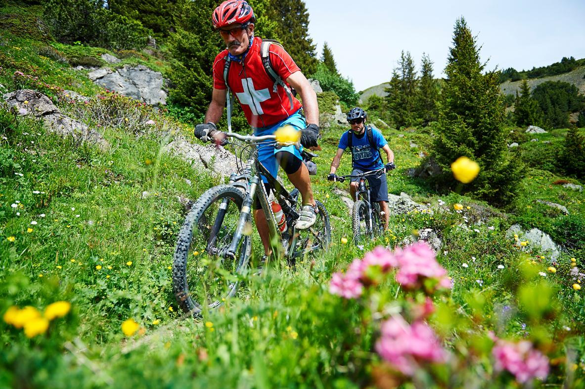
A good training track for all those who like it a bit more technically demanding, but still don't want to take any risks.
- Teškoća
-
srednje
- Vrednovanje
-
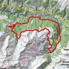
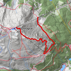
- Wegverlauf
-
Ochsenalp7,8 kmMitterer Hütte12,3 kmBrüggerstuba12,3 kmArosa (1.739 m)14,3 kmArosa14,5 km
- Beste Jahreszeit
-
sijveljožutrasvilipsrpkolrujlisstupro
- Höchster Punkt
- 2.139 m
- Zielpunkt
-
Obersee Arosa
- Höhenprofil
-
 © outdooractive.com


- Autor
-
Die Tour All Mountain: Arosa - Scheidegg - Arosa wird von outdooractive.com bereitgestellt.
GPS Downloads


Putevi
Pokus
Opće informacije
Einkehrmöglichkeit
Geheimtipp