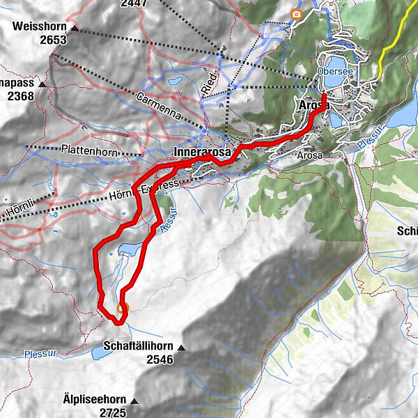
Podaci o ruti
7,74km
1.743
- 2.062m
345hm
01:30h
- Kratak opis
-
Einfache bis mittlere Route
- Vrednovanje
-
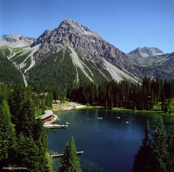
- Polazna točka
-
Bahnhof Arosa
- Wegverlauf
-
Arosa (1.739 m)0,3 kmDorfkirche Arosa0,5 kmInnerarosa (1.820 m)2,0 kmAlpenblick2,8 kmInnerarosa (1.820 m)7,7 km
- Höchster Punkt
- 2.062 m
- Rast/Einkehr
-
Alpenblick
- Materijal za karte
-
Arosa Bike-Karte

GPS Downloads


Putevi
Asfalt
Šljunak
Planinske staze
Jednostruki tragovi
Pokus
Promet
Weitere Touren in den Regionen
-
Arosa Lenzerheide
260
-
Hochwang
111