- Kratak opis
-
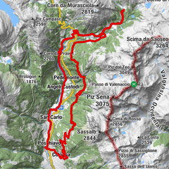
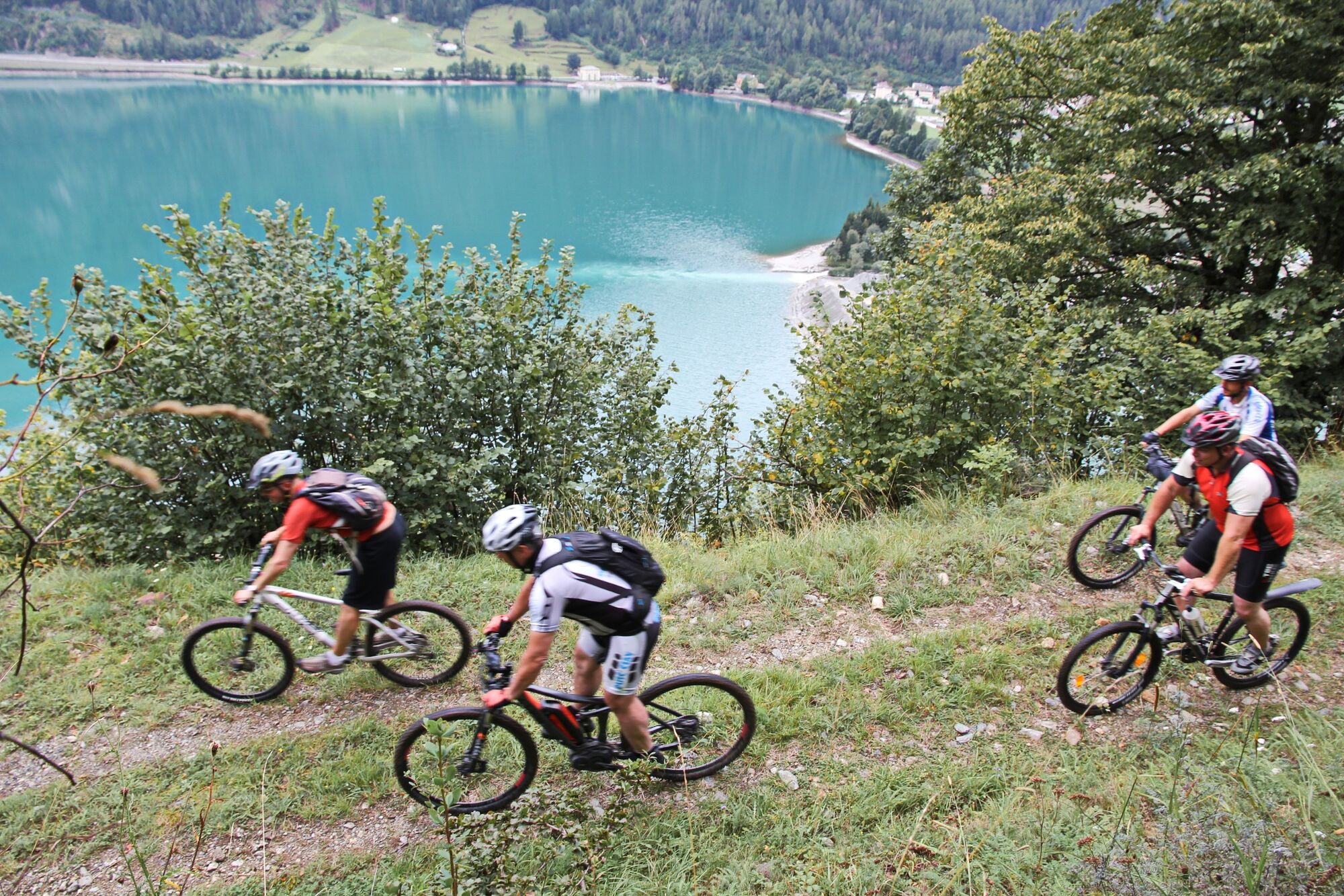
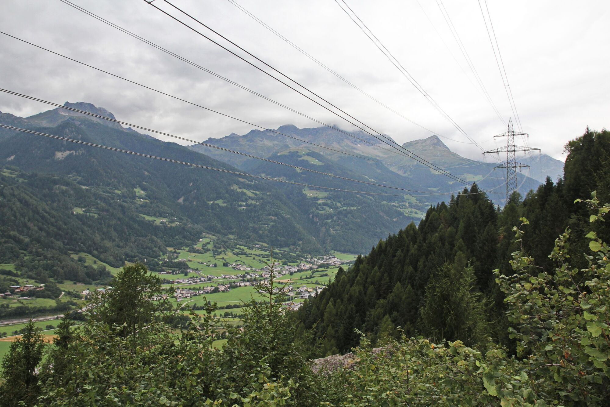
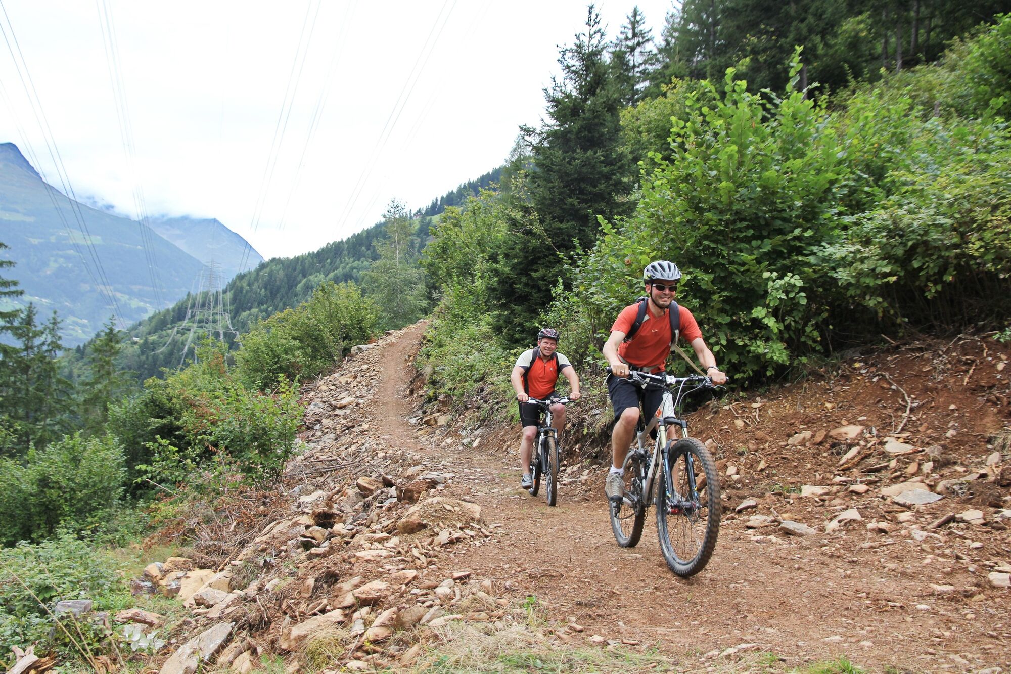
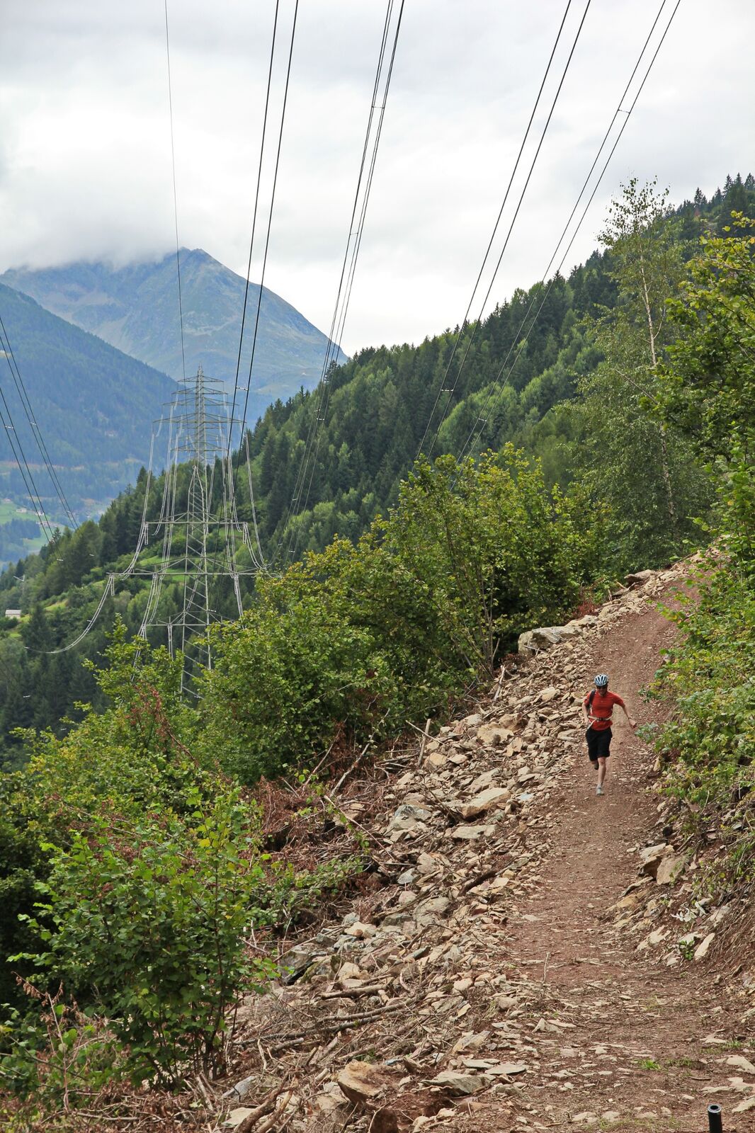
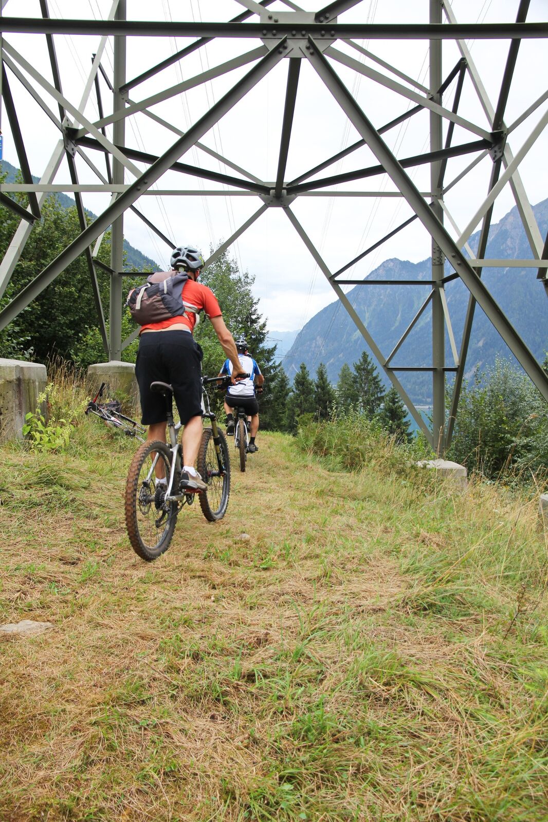
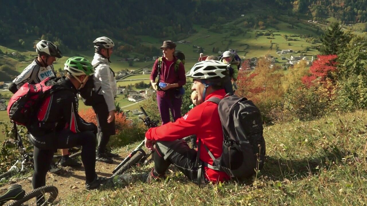
"Alta Tensione" is the name of the short but exciting trail from Poschiavo to Le Prese and back. It follows the high-voltage power lines on the sunny side of the valley - a very energetic bike experience!
- Teškoća
-
srednje
- Vrednovanje
-
- Wegverlauf
-
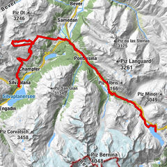
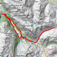
Puschlav (1.014 m)0,0 kmPoschiavo (1.014 m)0,2 kmFondovilla0,4 kmSanta Maria Assunta0,6 kmCologna2,8 kmPrada4,6 kmPagnoncini5,7 kmCantone8,9 kmLe Prese9,4 kmSpinadascio10,0 kmPagnoncini10,0 kmPrada11,0 kmAnnunziata11,0 kmFondovilla13,1 kmPoschiavo (1.014 m)13,3 kmPuschlav (1.014 m)13,5 km
- Beste Jahreszeit
-
sijveljožutrasvilipsrpkolrujlisstupro
- Höchster Punkt
- 1.258 m
- Zielpunkt
-
Bahnhof Poschiavo
- Höhenprofil
-
 © outdooractive.com


- Autor
-
Die Tour Alta Tensione Trail wird von outdooractive.com bereitgestellt.
GPS Downloads


Putevi
Pokus
Opće informacije
Geheimtipp
Aussichtsreich
Weitere Touren in den Regionen
-
Veltlin / Valtellina
205
-
Puschlav / Valposchiavo
198
-
Puschlav
44