© Davos Klosters

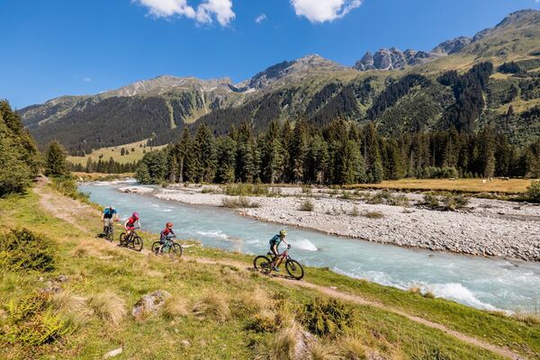
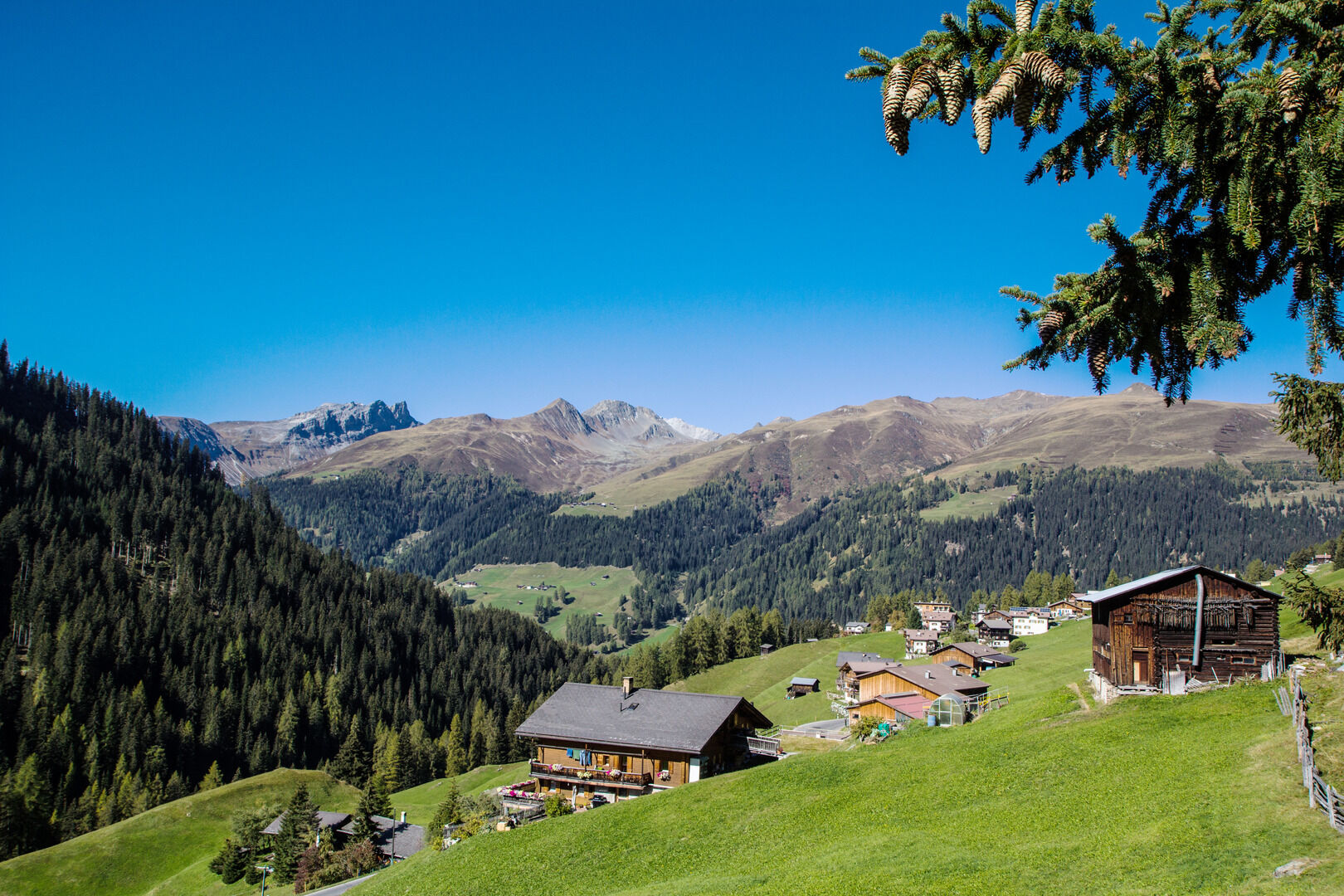
© Destination Davos Klosters - Giulia Monigatti

© Destination Davos Klosters - Giulia Monigatti


- Kratak opis
-
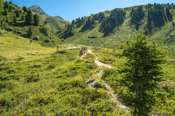
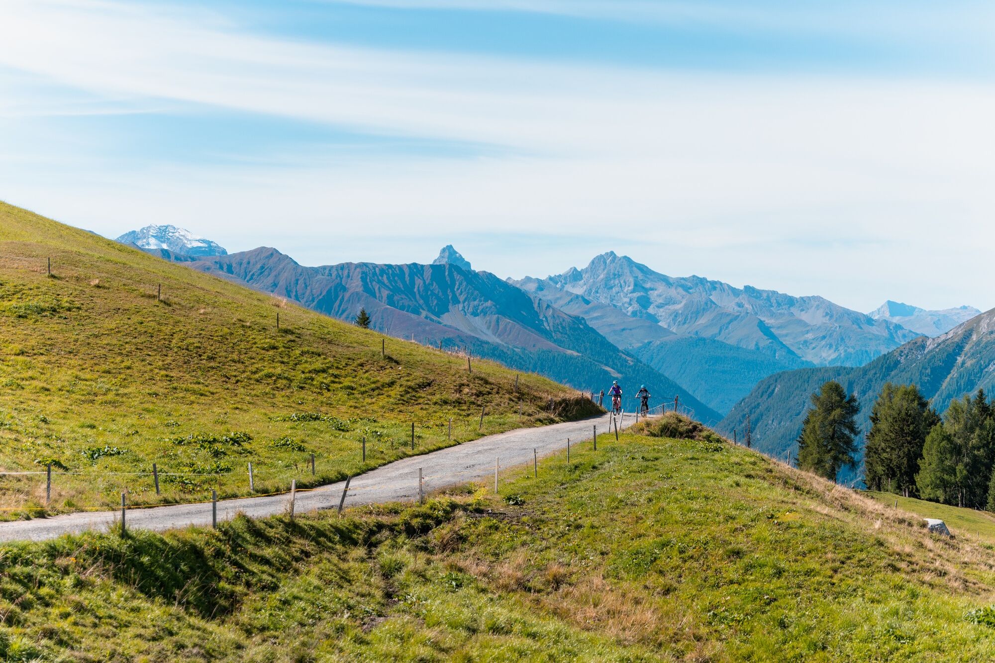
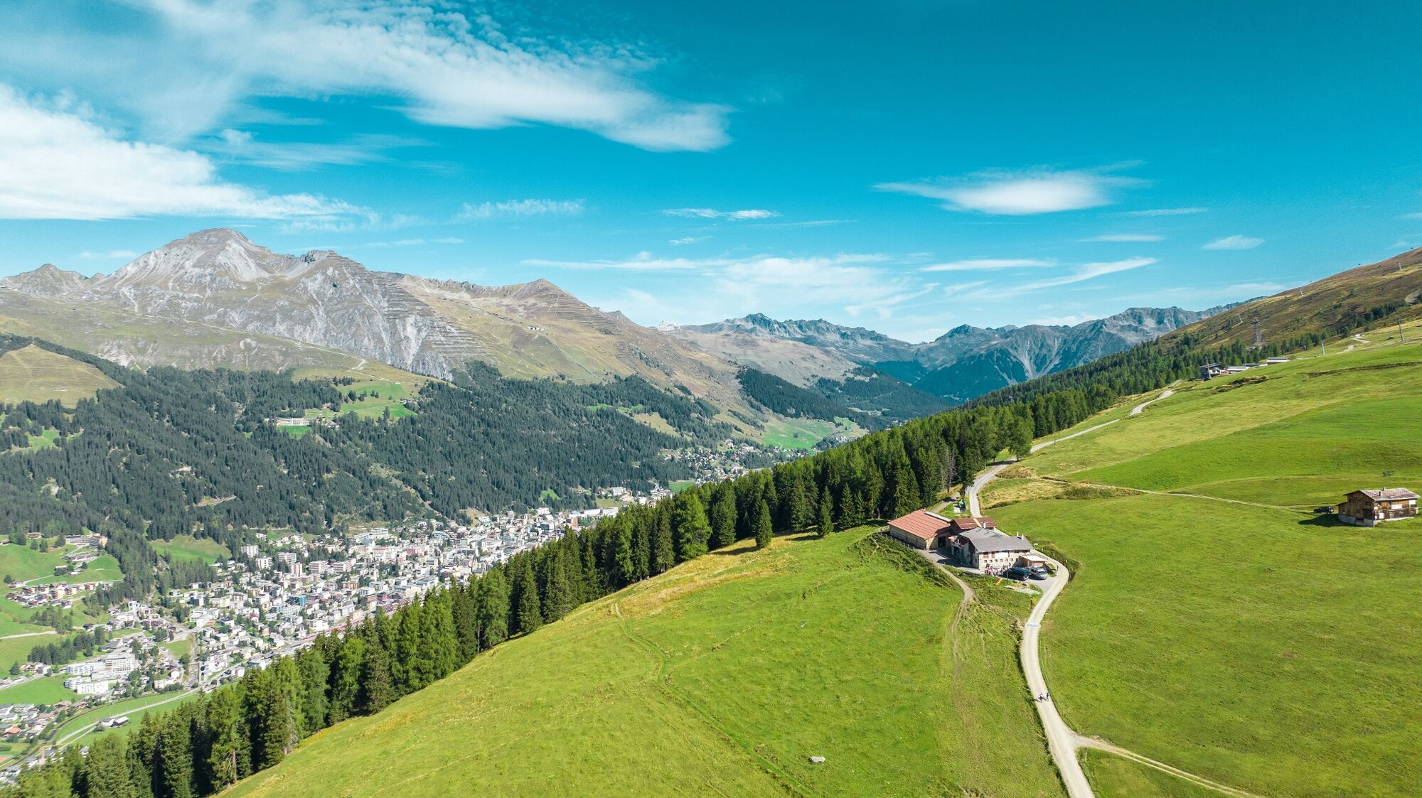
An enjoyable after-work circuit or half-day tour with great panoramic views of the Landwasser valley and the mountains surrounding Davos. A particularly thrilling aspect of the route is the high-speed downhill run.
- Teškoća
-
lagano
- Vrednovanje
-
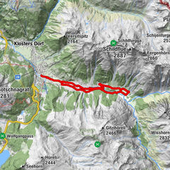
- Wegverlauf
-
Davos (1.560 m)0,5 kmGeissloch3,3 kmClavadeleralp (1.934 m)7,1 kmNaturfreundehaus7,1 kmCalavadeler Alp7,7 kmUsser Isch (2.064 m)8,6 kmGeissloch11,9 kmMittelausstieg12,1 kmDavos (1.560 m)13,8 km
- Beste Jahreszeit
-
sijveljožutrasvilipsrpkolrujlisstupro
- Höchster Punkt
- 2.065 m
- Zielpunkt
-
Davos, Tourismus- und Sportzentrum
- Höhenprofil
-
 © outdooractive.com
- Autor
-
Die Tour 334 Clavadeler Alp (suitable for E-MTB) wird von outdooractive.com bereitgestellt.
GPS Downloads


Putevi
Pokus
Opće informacije
Aussichtsreich
Weitere Touren in den Regionen
-
Davos Klosters
198
-
Davos Schatzalp
84