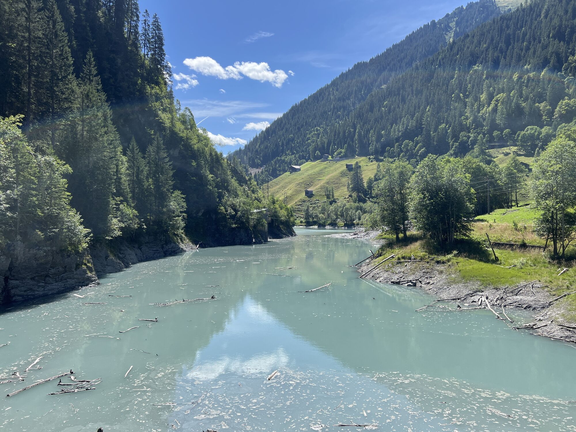
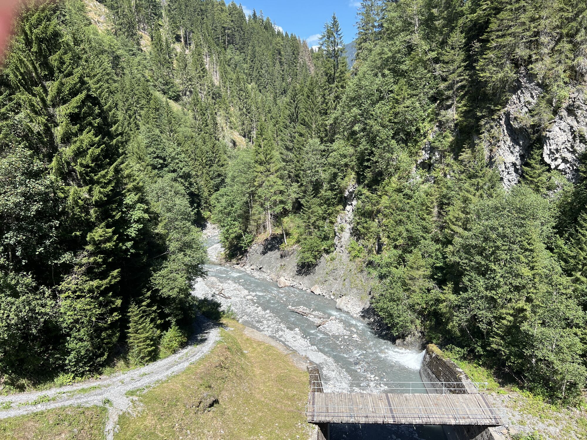
Valendas-Sagogn - Valendas - Gasthaus am Brunnen - Reformierte Kirche
heavy
Navigate
Navigate
Get this tour on your mobile
Valendas-Sagogn - Valendas - Gasthaus am Brunnen - Reformierte Kirche
heavy
Mountainbike
46,55
km
Scan the QR code and start navigation in the bergfex app

Hiking & Tracking


Distance
46,55
km
Duration
04:30
h
Ascent
1.701
m
Sea level
654 -
1.309
m
Track download
Valendas-Sagogn - Valendas - Gasthaus am Brunnen - Reformierte Kirche
heavy
Mountainbike
46,55
km


Route
Valendas
(807 m)
Village
1,1 km
Carrera
(856 m)
Settlement
3,2 km
Reformierte Kirche
(912 m)
Place of worship
6,5 km
Salatginas
(948 m)
Corridor/terrain
19,7 km
Vorderhof
(983 m)
Corridor/terrain
20,9 km
Arezen
(1.002 m)
Village
37,4 km
Reformierte Kirche
(912 m)
Place of worship
39,1 km
Route
Valendas-Sagogn
(669 m)
Railway station
0,0 km
Valendas
(807 m)
Village
1,1 km
Gasthaus am Brunnen
(812 m)
Restaurant
1,2 km
Carrera
(856 m)
Settlement
3,2 km
Reformierte Kirche
(912 m)
Place of worship
6,5 km
Versam
(906 m)
Village
6,7 km
Rössli
(900 m)
Restaurant
6,9 km
Zault
(777 m)
Viewpoint
11,1 km
Salatginas
(948 m)
Corridor/terrain
19,7 km
Vorderhof
(983 m)
Corridor/terrain
20,9 km
Sculms
(1.023 m)
Corridor/terrain
21,4 km
Mittelhof
(1.070 m)
Corridor/terrain
21,9 km
Arezen
(1.002 m)
Village
37,4 km
Rössli
(900 m)
Restaurant
38,7 km
Versam
(906 m)
Village
38,9 km
Reformierte Kirche
(912 m)
Place of worship
39,1 km
Carrera
(856 m)
Settlement
42,5 km
Valendas-Sagogn
(669 m)
Railway station
46,5 km
No reviews yet
Popular tours in the neighbourhood
-
4,5
4-lake hike
mediumPješačenje 12,8 km -
4,7
The riverside trail: Trutg dil Flem
mediumTematska staza 13,5 km -
4,3
Via Ferrata Pinut
mediumVia ferrata 5,82 km -
4,7
Rhine Gorge Hike: Senda Ruinaulta (659)
lightPješačenje 9,39 km -
Piz Fess 2880m, der Stolze
heavyPješačenje 12,8 km -
4,8
Rhine Gorge: From Ilanz to Versam into the heart of the Rhine Gorge
mediumPješačenje 11,4 km -
4,3
Round trip hike Falera - Curnius - Alp Dadens - Falera
mediumPješačenje 11,4 km -
5,0
Staderas - Conn - Rhein Gorge Ruinaulta-Staderas
mediumPješačenje 19,8 km -
5,0
Rhine Gorge Circular Hike
mediumPješačenje 11,4 km -
5,0
Hiking route Suspension Bridge Val da Tersnaus
mediumPješačenje 3,24 km
bergfex Tours

Over 550.000 tour suggestions, detailed maps and an intuitive route planner make the app a must-have for all nature enthusiasts.

Ne propustite ponude i inspiraciju za vaš sljedeći odmor
Subscribe to the newsletter
Error
An error has occurred. Please try again.
Thank you for your registration
Your e-mail address has been added to the mailing list.
Tours throughout Europe
Austrija
Švicarska
Njemačka
Italija
Slovenija
Francuska
Nizozemska
Belgija
Poljska
Lihtenštajn
Češka
Slovačka
Španija
Hrvatska
Bosna i Hercegovina
Luksemburg
Andora
Portugal
Island
Ujedinjeno Kraljevstvo
Irska
Grčka
Albanija
Sjeverna Makedonija
Malta
Norveška
Crna Gora
Moldova
Kosovo
Mađarska
San Marino
Rumunjska
Estonija
Latvija
Bjelorusija
Cipar
Litva
Srbija
Bugarska
Monako
Danska
Švedska
Finska