
- Kratak opis
-
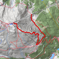
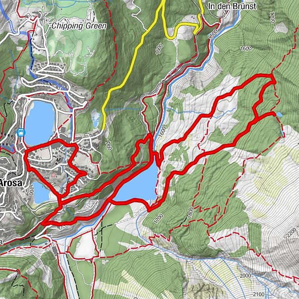
From Arosa you go to the reservoir and then on a rising forest road to the Grüensee and back.
- Teškoća
-
srednje
- Vrednovanje
-
- Wegverlauf
-
Arosa (1.739 m)0,4 kmFurggaalp (1.695 m)6,1 kmArosa (1.739 m)8,2 km
- Beste Jahreszeit
-
sijveljožutrasvilipsrpkolrujlisstupro
- Höchster Punkt
- 1.808 m
- Zielpunkt
-
Obersee Arosa
- Höhenprofil
-
 © outdooractive.com


- Autor
-
Die Tour Grüenseeli Tour wird von outdooractive.com bereitgestellt.
GPS Downloads


Opće informacije
Einkehrmöglichkeit
Geheimtipp
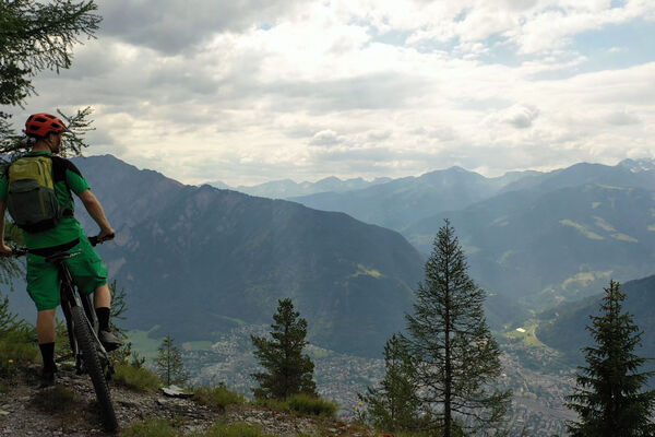
Aussichtsreich
Weitere Touren in den Regionen
-
Heidiland
336
-
Arosa Lenzerheide
259
-
Hochwang
111