Samnaun Dorf – Motta Saltuorn – Val Motnaida

Logo Samnaun Dorf – Motta Saltuorn – Val Motnaida
Podaci o ruti
3,17km
1.825 - 2.143m
Distanz
307hm
Aufstieg
00:50h
 
Dauer
Kratak opis

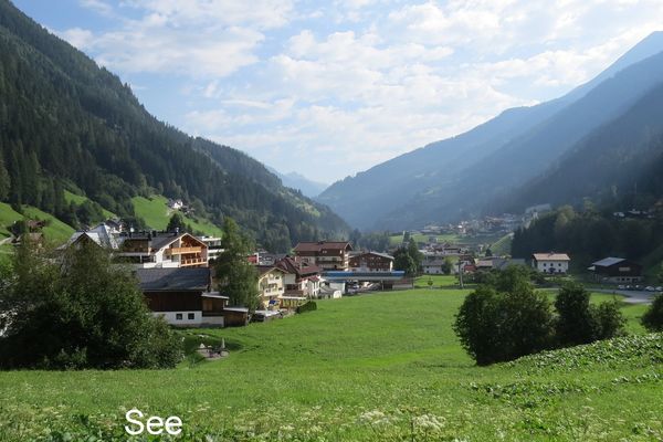
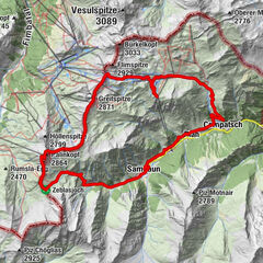
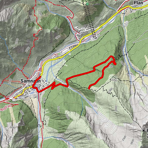
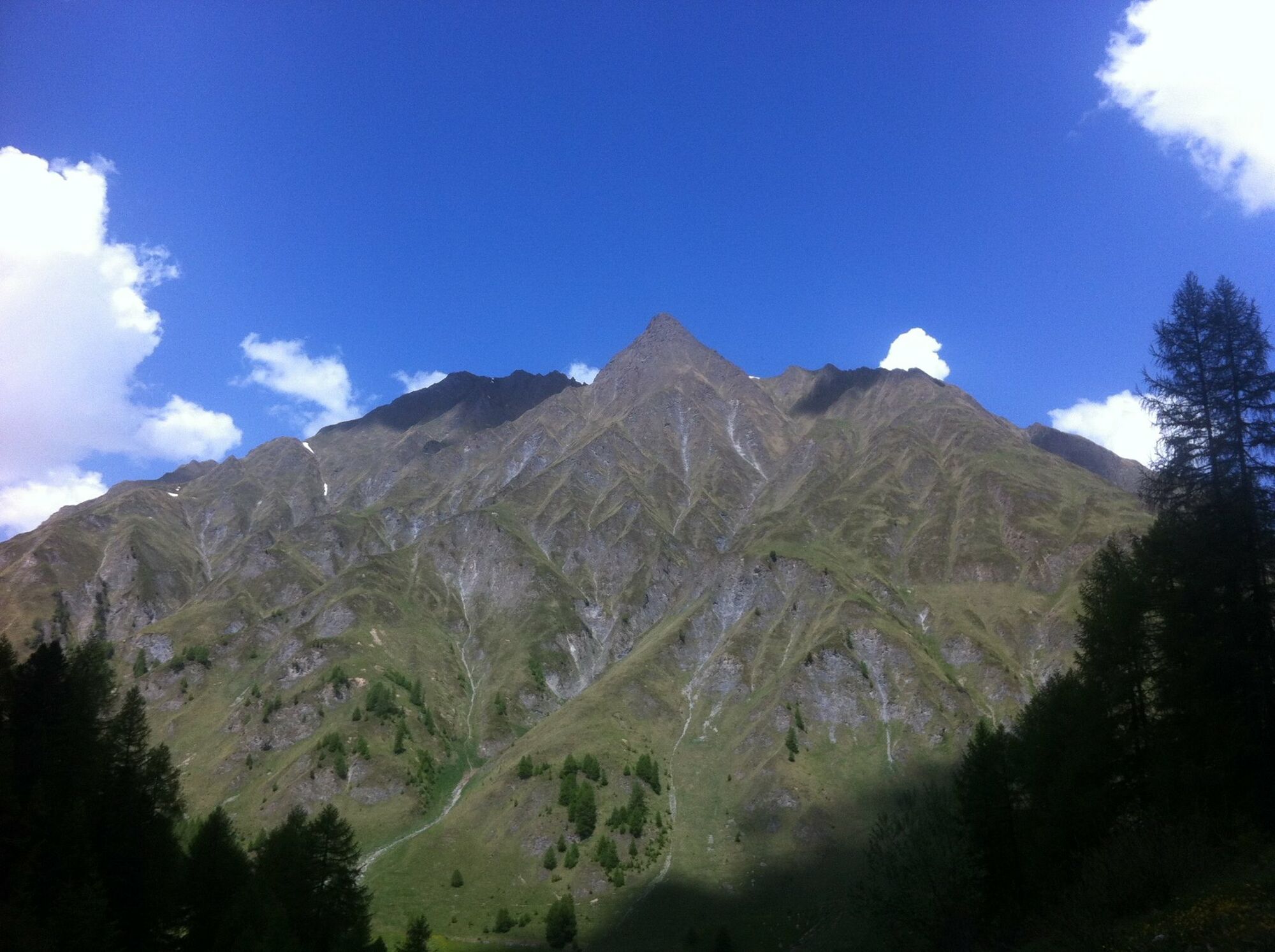
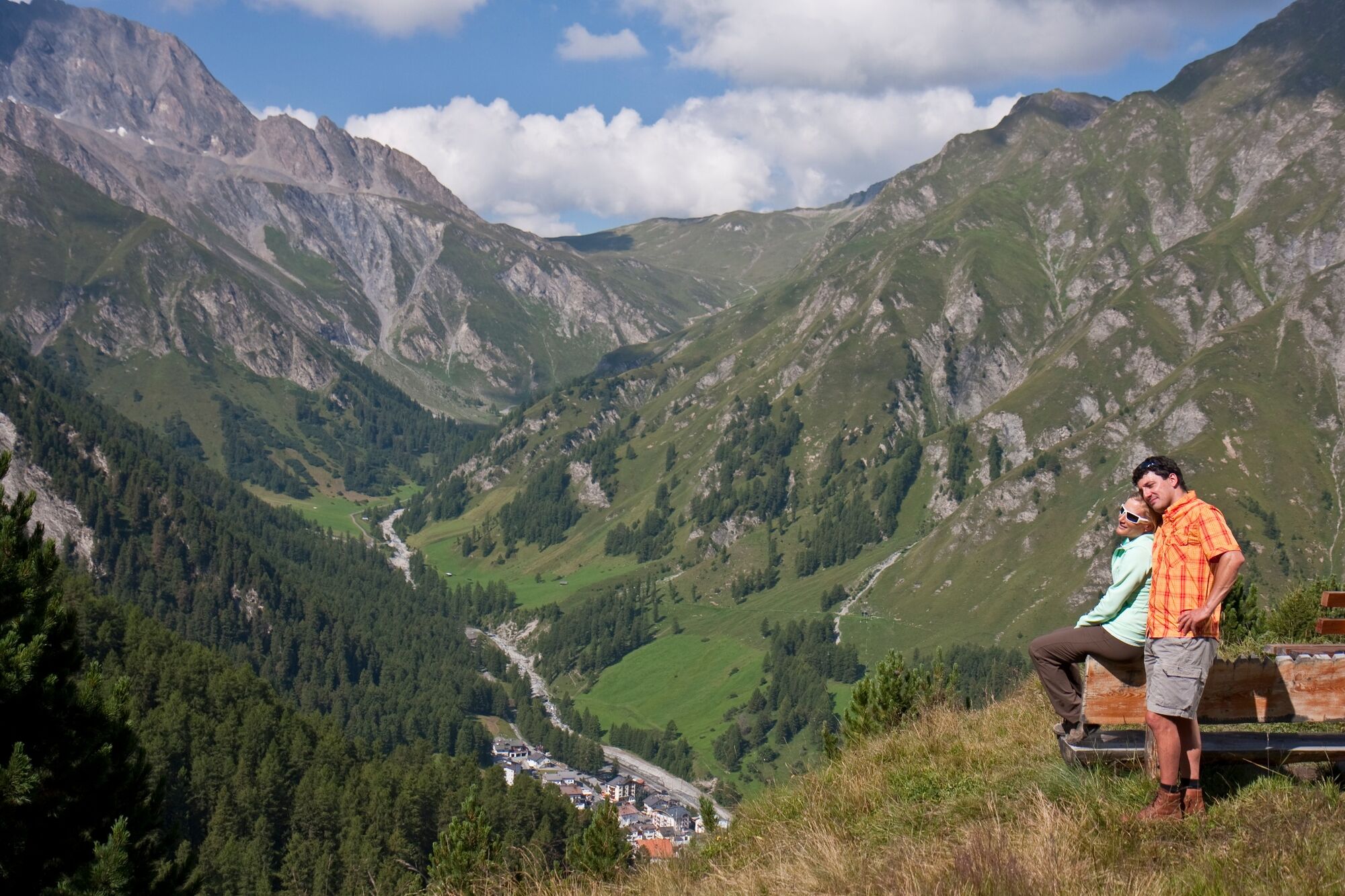
Steadily ascending tour through the Inner Forest to Motta Saltuorn and on to Val Motnaida. Beautiful view of Samnaun Dorf at the destination. Afterwards take the same route back again.

Teškoća
lagano
Vrednovanje
Tehnika
Kondicija
Krajolik
Doživljaj
Wegverlauf
El Rico
0,1 km
Samnaun (1.846 m)
0,2 km

Beste Jahreszeit
sij
velj
ožu
tra
svi
lip
srp
kol
ruj
lis
stu
pro
Höchster Punkt
2.143 m
Zielpunkt

PostBus stop Samnaun-Compatsch, Post

Höhenprofil
© outdooractive.com

Autor

Gesamtbewertung

5

0

%

4

0

%

3

0

%

2

0

%

1

0

%

Error
Ein Fehler ist aufgetreten. Bitte versuche es erneut.
Vielen Dank für deine Bewertung

Bewertung wurde gelöscht

GPS Downloads
  • GPX GPS Exchange Format (XML)
  • KML Google Earth, Google Maps
QR Download Codes für Mobiltelefone

Opće informacije

Flora
Aussichtsreich
Weitere Touren in den Regionen

Beliebte Touren in der Umgebung

See - Ascherhütte - Versingalm - Bergresaurant See

srednje Mountainbike
28,01km | 1313hm | 04:00h

Rund um den Frudiger

Mountainbike
20,92km | 1015hm | 03:00h

Fiss: Fisser Joch

srednje Mountainbike
41,08km | 2062hm | 02:30h

Samnaun-Zeblasjoch-Alp Trida Round Tour

teška Mountainbike
26,58km | 1324hm | 05:20h