© Engadin Tourismus AG - Filip Zuan


- Kratak opis
-
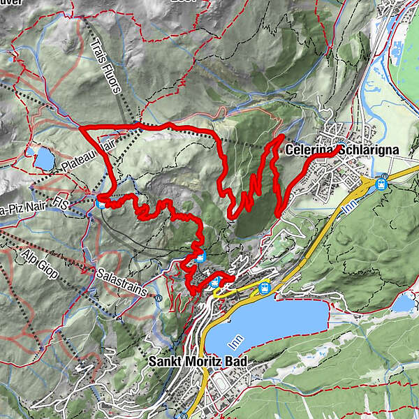
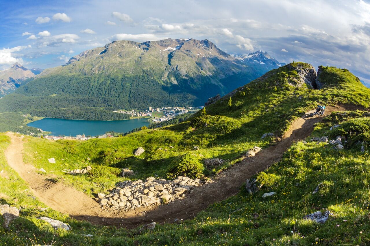
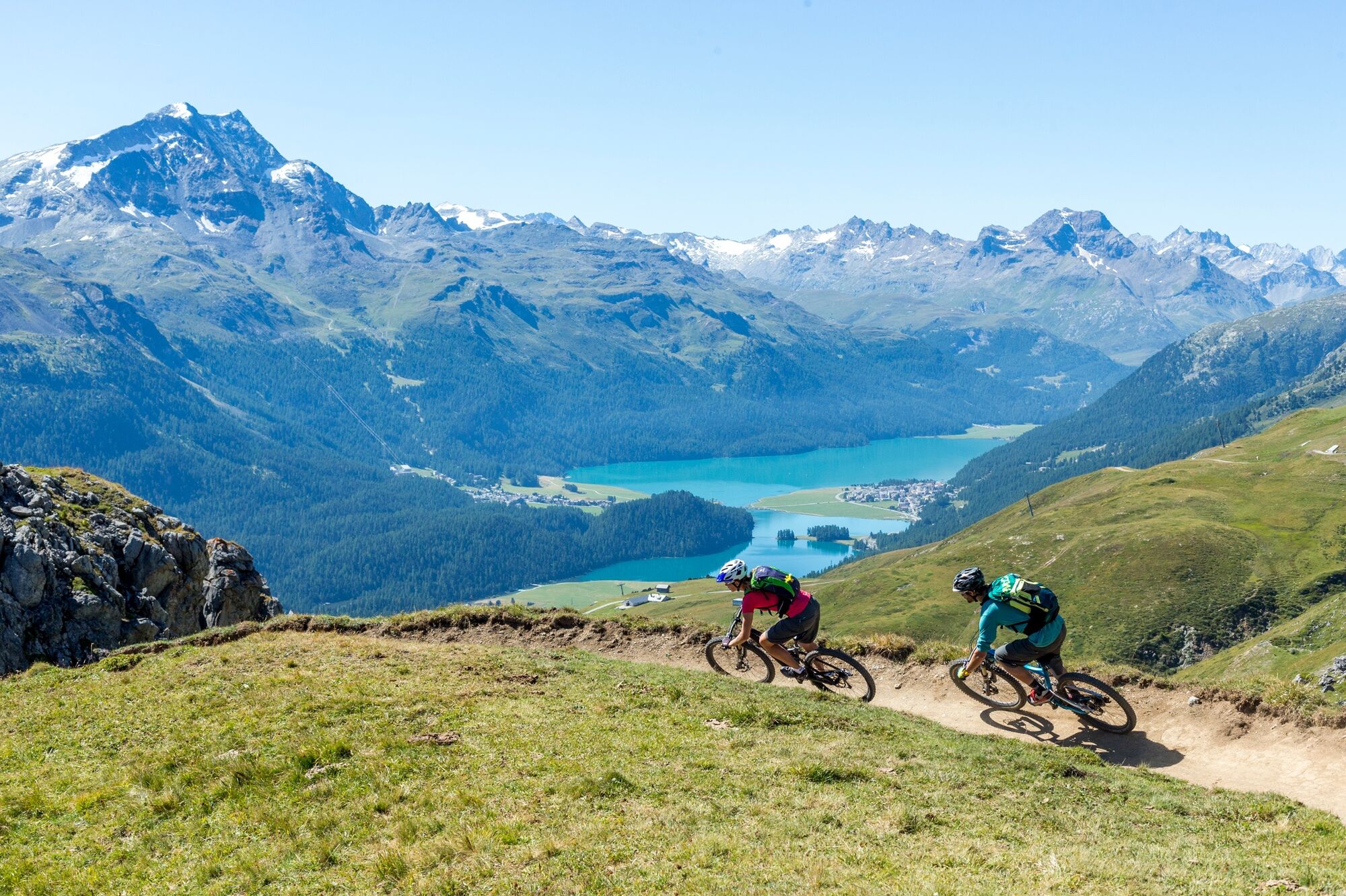
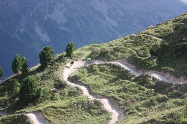
Up to Corviglia on a natural road and down to St. Moritz on the Olympia Flow Trail.
- Teškoća
-
srednje
- Vrednovanje
-
- Wegverlauf
-
Celerina (1.730 m)Celerina Seglias (1.730 m)0,3 kmCelerina Tschinas2,6 kmSankt Moritz (1.822 m)4,8 kmMarguns7,2 kmCorviglia9,1 kmWhite Marmot Restaurant & Bar9,2 kmCorviglia (Bergstation)9,2 kmChantarella13,3 kmSur Chaunt13,9 kmChiesa riformata di Sankt Moritz15,3 kmSankt Moritz (1.822 m)15,4 km
- Beste Jahreszeit
-
sijveljožutrasvilipsrpkolrujlisstupro
- Höchster Punkt
- 2.487 m
- Zielpunkt
-
St. Moritz Dorf
- Höhenprofil
-
 © outdooractive.com
- Autor
-
Die Tour Celerina-Marguns-Corviglia-St. Moritz (E-Mountainbike) wird von outdooractive.com bereitgestellt.
GPS Downloads


Opće informacije
Einkehrmöglichkeit
Aussichtsreich
Weitere Touren in den Regionen