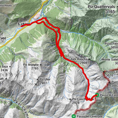
Celerina - Trais Fluors - Champfèr - Celerina (E-Mountainbike)


© Engadin Tourismus AG - Filip Zuan

© Engadin Tourismus AG - Moritz Hübner

© Engadin St. Moritz Mountains - Filip Zuan

© Engadin Tourismus AG - Chatrigna Signorell

© Engadin Tourismus AG - Filip Zuan


- Kratak opis
-
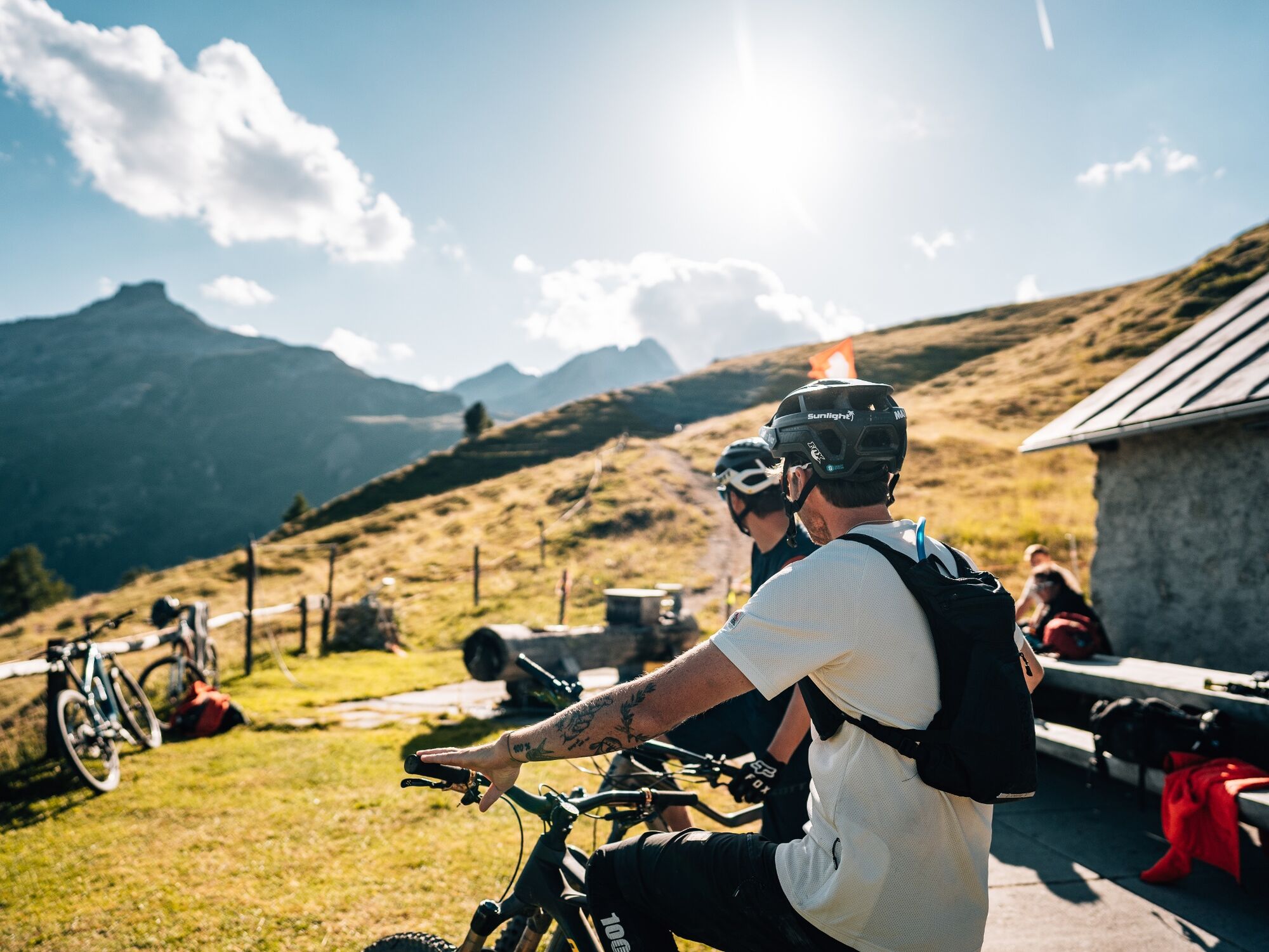
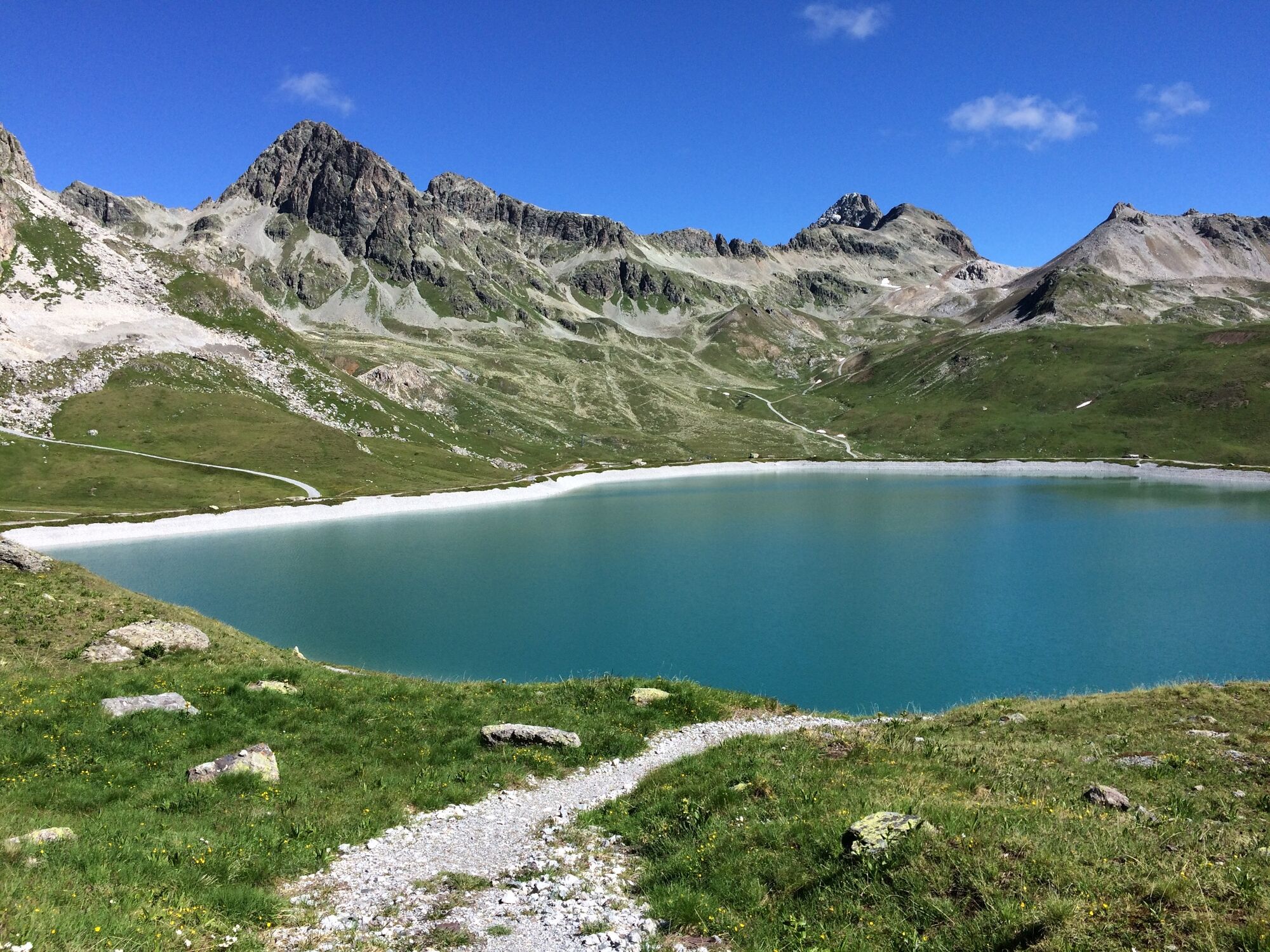
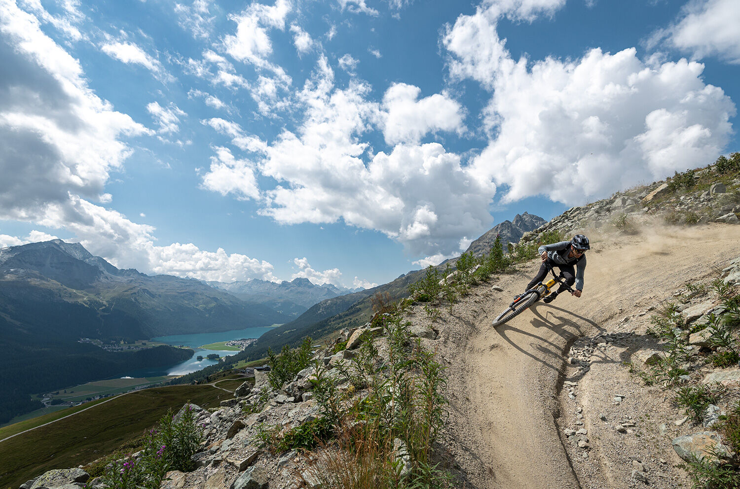
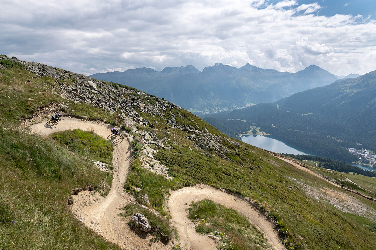
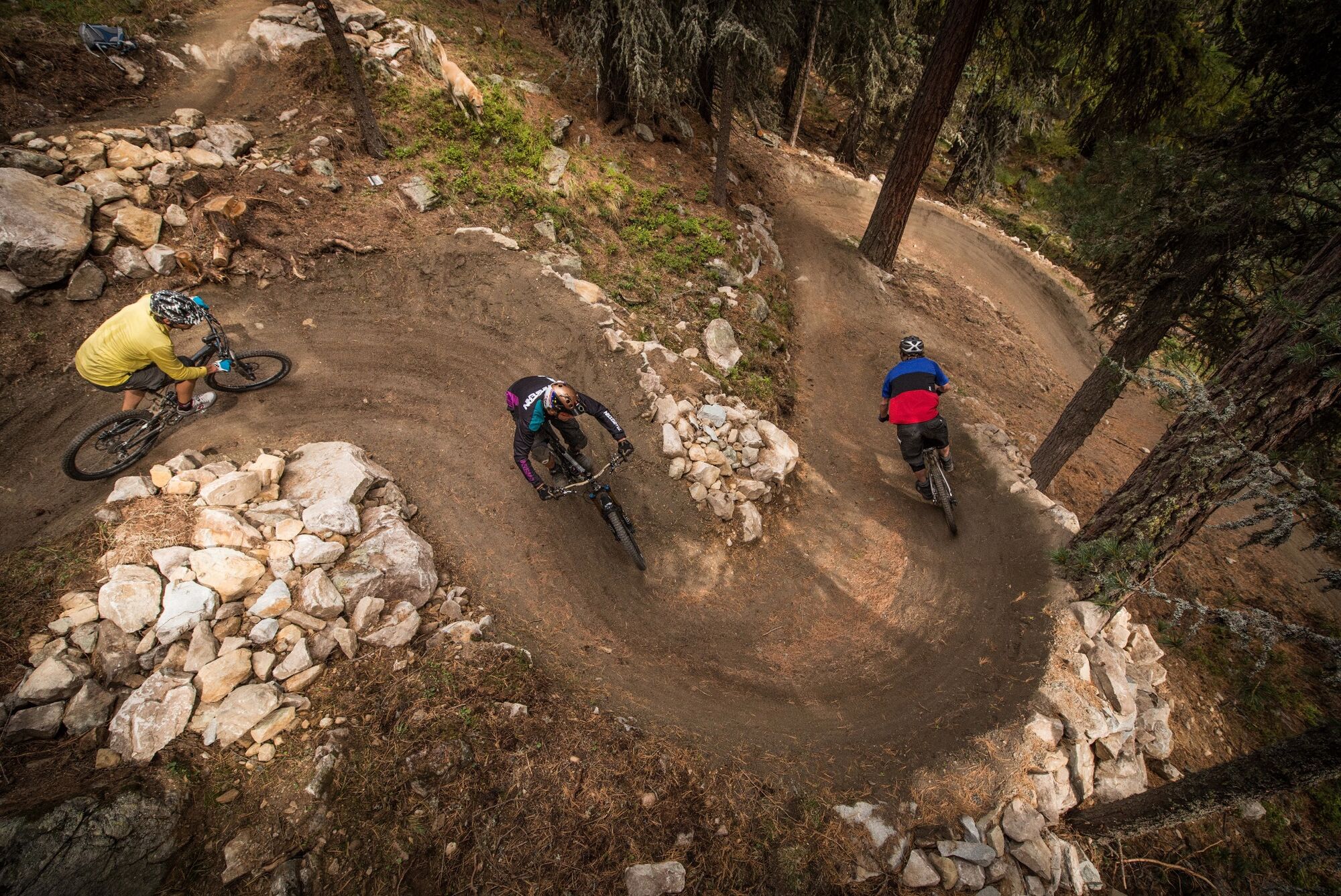
This tour combines some of the most beautiful single and flow trails with cosy bathing lakes. With a detour via Trais Fluors and the shortcut down to Champfèr, the tour follows the Padella Corviglia Panoramatour no. 672.
- Teškoća
-
teška
- Vrednovanje
-
- Wegverlauf
-
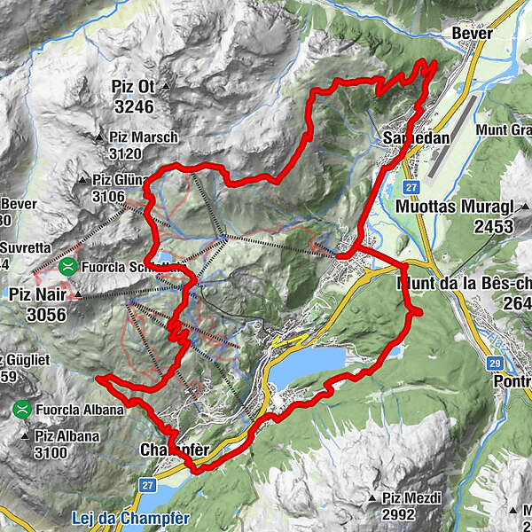
Celerina (1.730 m)0,3 kmSamaden (1.721 m)2,8 kmSamedan (1.705 m)2,9 kmSamedan Staziun (1.706 m)2,9 kmMuntarütsch (1.772 m)4,1 kmAlp Muntatsch (2.186 m)7,3 kmRandolins (Suvretta) (2.214 m)21,5 kmTrutz21,5 kmEl Paradiso22,0 kmAlp Suvretta23,2 kmPrimula26,7 kmRestaurant Talvo by Dalsass26,8 kmChampfèr (1.825 m)26,9 kmMauntschas31,3 kmCelerina (1.714 m)36,3 km
- Beste Jahreszeit
-
sijveljožutrasvilipsrpkolrujlisstupro
- Höchster Punkt
- 2.756 m
- Zielpunkt
-
Celerina, Marguns valley station
- Höhenprofil
-
 © outdooractive.com

- Autor
-
Die Tour Celerina - Trais Fluors - Champfèr - Celerina (E-Mountainbike) wird von outdooractive.com bereitgestellt.
GPS Downloads


Opće informacije
Einkehrmöglichkeit
Aussichtsreich
Weitere Touren in den Regionen