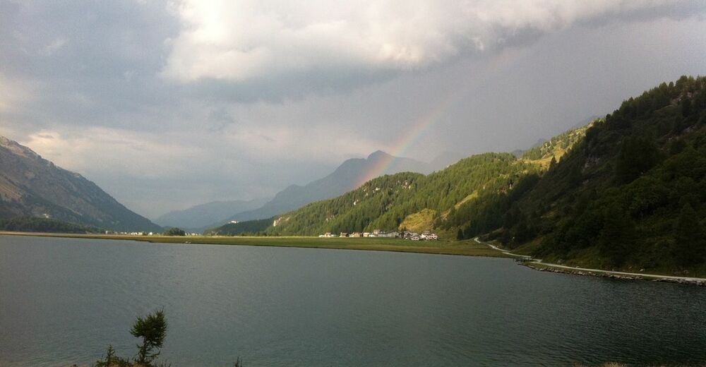
© Engadin Tourismus AG - Sils Tourismus
© Engadin Tourismus AG - Sils Tourismus


- Kratak opis
-
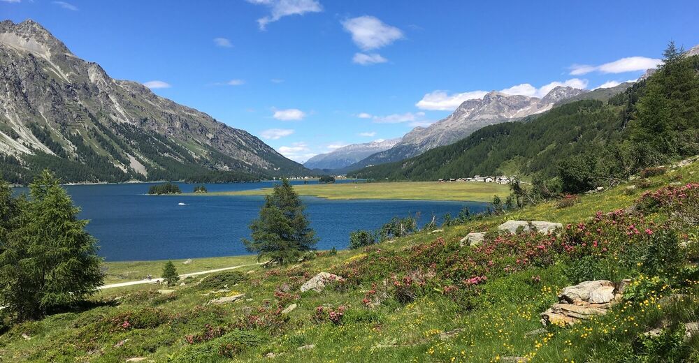
Varied E-mountain bike tour along the unique Lake Sils
- Teškoća
-
srednje
- Vrednovanje
-
- Wegverlauf
-
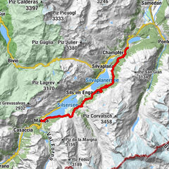
Sils im Engadin (1.803 m)Christ-König-Kirche0,1 kmCrastas Dadour0,2 kmCrastas0,2 kmCrastas Dadains0,3 kmBraschunaing0,9 kmChesa Pool2,0 kmPlatta2,1 kmPetpreir4,0 kmPlan Cuncheta7,4 kmCresta8,2 kmKirche St. Peter und Paul8,9 kmSchweizerhaus9,0 kmMaloja Posta9,1 kmMaloja (1.809 m)10,4 kmLa Motta11,1 kmPlan Cuncheta12,0 kmIsola (See) (1.810 m)13,8 kmIsola (1.811 m)14,4 kmReformierte Kirche17,7 kmSils im Engadin (1.803 m)17,9 km
- Beste Jahreszeit
-
sijveljožutrasvilipsrpkolrujlisstupro
- Höchster Punkt
- 2.002 m
- Zielpunkt
-
Sils Maria
- Höhenprofil
-
 © outdooractive.com


- Autor
-
Die Tour Sils - Maloja - Isola - Sils (E-Mountainbike) wird von outdooractive.com bereitgestellt.
GPS Downloads


Opće informacije
Einkehrmöglichkeit
Kulturell/Historisch
Flora
Aussichtsreich
Weitere Touren in den Regionen
-
Veltlin / Valtellina
54
-
Engadin St. Moritz
62
-
Isola
20