


- Kratak opis
-
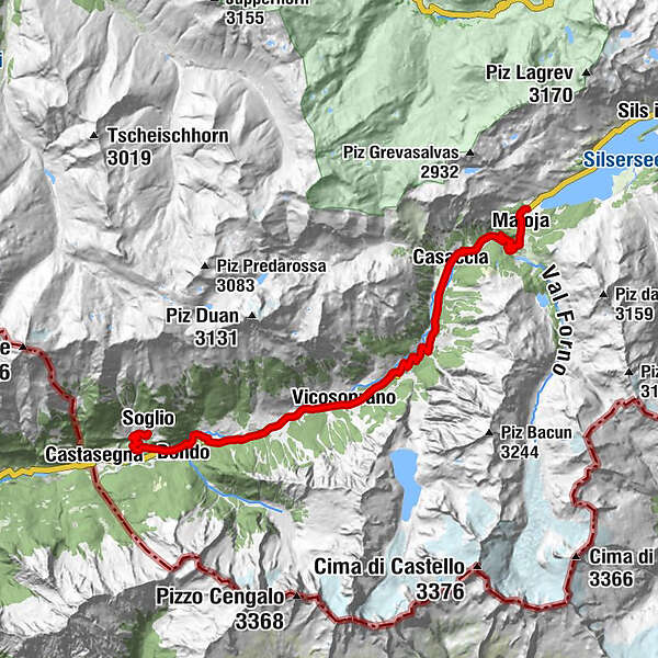
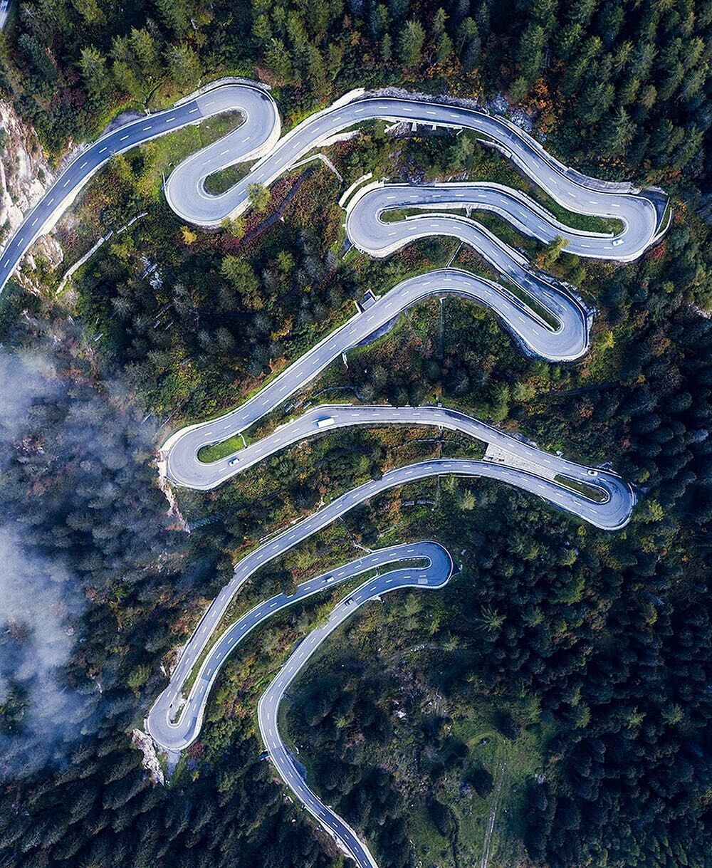
This alpine pass ride, which is particularly suitable for the first few warmer days, begins and ends with the narrow hairpin bends of the Maloja Pass.
- Teškoća
-
srednje
- Vrednovanje
-
- Wegverlauf
-
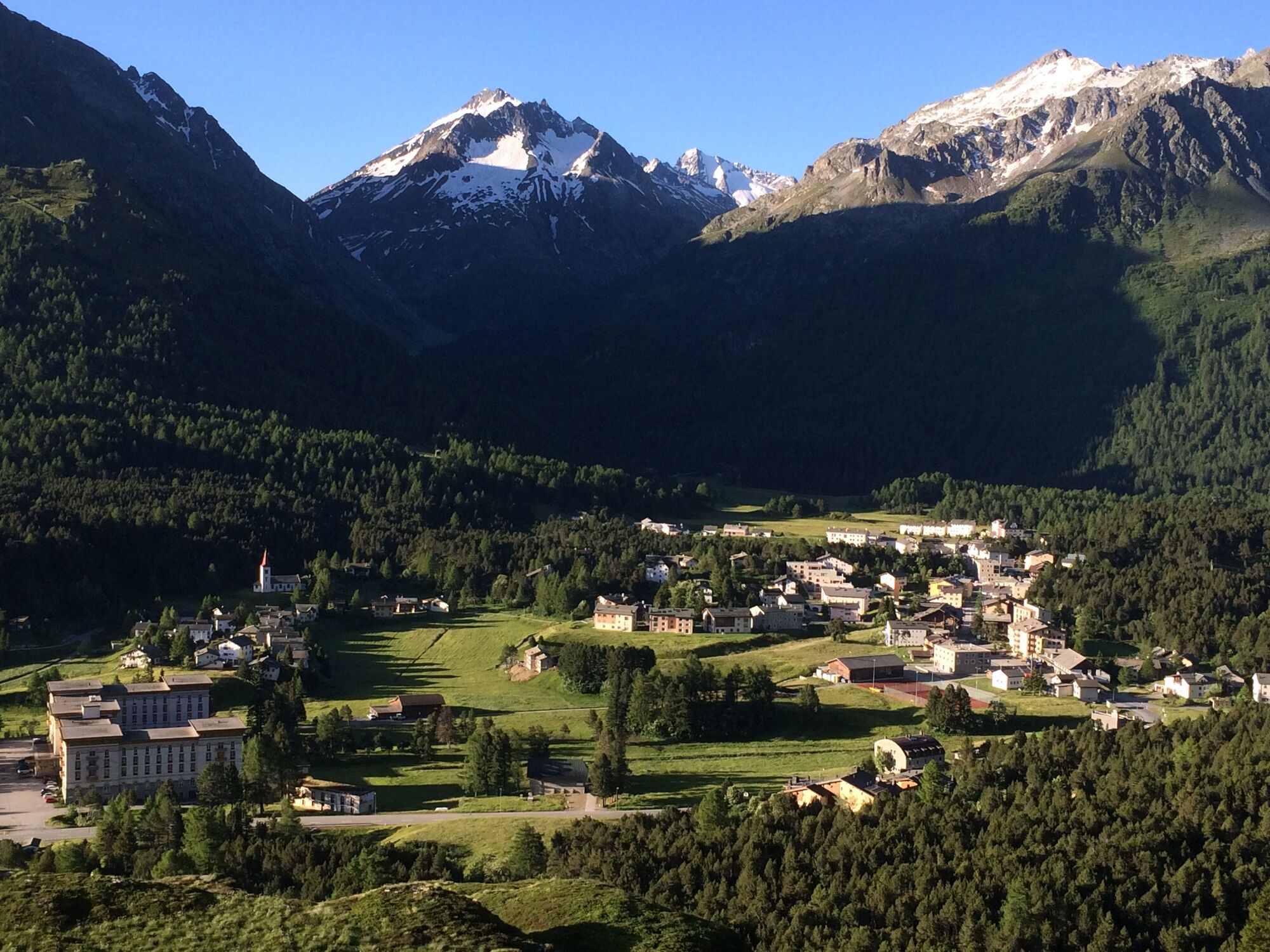
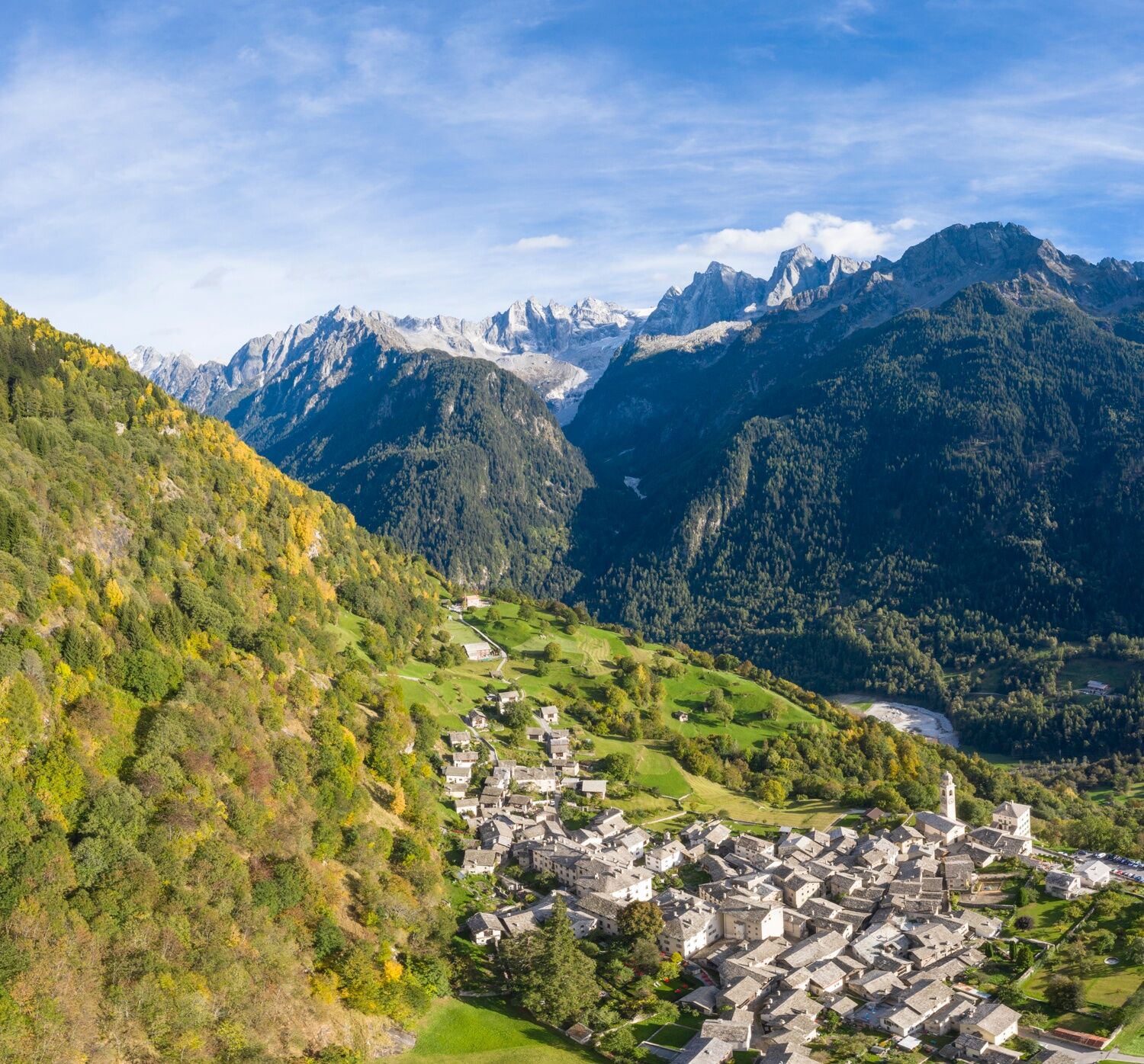
Maloja Posta0,0 kmSchweizerhaus0,1 kmKirche St. Peter und Paul0,1 kmMaloja (1.809 m)0,2 kmCranch dal Malögia1,4 kmPlan Malögia (1.585 m)3,1 kmPra da Pila3,4 kmCavril (1.551 m)3,9 kmChiesa riformata di San Giovanni5,5 kmRistorantino Bar Sett5,6 kmCasaccia (1.458 m)5,6 kmLöbbia7,3 kmNasciarina8,4 kmRöivan8,8 kmTognaca9,0 kmPranzaira10,6 kmRuncalacc12,5 kmVicosoprano (1.067 m)12,8 kmSur Albigna12,9 kmBorgonovo14,1 kmSan Pietro14,6 kmReformierte Kirche San Giorgio14,6 kmStampa (995 m)15,4 kmAl Calcett15,6 kmClüs16,0 kmPunt Alt16,6 kmLa Porta18,2 kmPromontogno (832 m)18,5 kmSottoponte18,8 kmBondo (823 m)18,9 kmPunt Spizarun - Cantiere18,9 kmSpino (793 m)19,1 kmCascate del Caroggia21,2 kmCarnella21,8 kmLò21,9 kmSils im Bergell (1.097 m)22,0 kmStüa Granda22,0 kmReformierte Kirche Soglio22,3 kmSot Funtana22,6 kmPregüi23,3 kmSpino (793 m)25,1 kmPunt Spizarun - Cantiere25,4 kmBondo (823 m)25,4 kmSottoponte25,6 kmPromontogno (832 m)25,8 kmLa Porta26,1 kmPunt Alt27,8 kmClüs28,1 kmAl Calcett28,6 kmStampa (995 m)28,7 kmSan Pietro29,8 kmReformierte Kirche San Giorgio29,8 kmBorgonovo29,9 kmSur Albigna31,4 kmVicosoprano (1.067 m)31,5 kmRuncalacc31,9 kmPranzaira33,8 kmTognaca35,4 kmRöivan35,6 kmNasciarina35,9 kmLöbbia37,0 kmChiesa riformata di San Giovanni37,8 kmRistorantino Bar Sett38,7 kmCasaccia (1.458 m)38,8 kmCavril (1.551 m)40,4 kmPra da Pila41,0 kmPlan Malögia (1.585 m)41,3 kmCranch dal Malögia43,0 kmMaloja (1.809 m)44,2 kmKirche St. Peter und Paul44,2 kmSchweizerhaus44,3 kmMaloja Posta44,4 kmChiesa Evangelica Maloja44,7 km
- Beste Jahreszeit
-
sijveljožutrasvilipsrpkolrujlisstupro
- Höchster Punkt
- 1.815 m
- Zielpunkt
-
Maloja
- Höhenprofil
-
 © outdooractive.com
- Autor
-
Die Tour Maloja - Soglio and back wird von outdooractive.com bereitgestellt.
GPS Downloads


Weitere Touren in den Regionen

