- Kratak opis
-
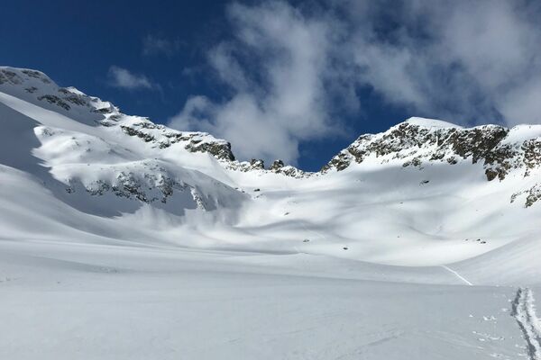
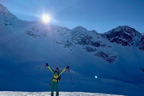
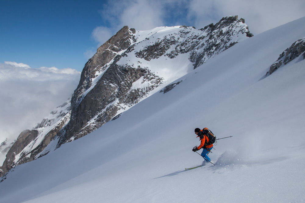
Challenging and steep ski tour from Maloja to the Piz da la Margna, its distinctive massif overlooking the lake landscape of the Upper Engadine.
- Teškoća
-
teška
- Vrednovanje
-
- Wegverlauf
-
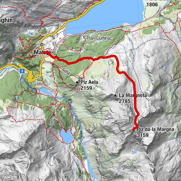
Maloja PostaMaloja (1.809 m)Kirche St. Peter und Paul0,0 kmPiz da la Margna (3.159 m)5,1 kmKirche St. Peter und Paul10,4 kmMaloja Posta10,4 kmMaloja (1.809 m)10,4 km
- Beste Jahreszeit
-
kolrujlisstuprosijveljožutrasvilipsrp
- Höchster Punkt
- 3.145 m
- Zielpunkt
-
Maloja
- Höhenprofil
-
 © outdooractive.com
- Autor
-
Die Tour Piz de la Margna wird von outdooractive.com bereitgestellt.
GPS Downloads


Weitere Touren in den Regionen
-
Veltlin / Valtellina
101
-
Val Bregaglia Engadin
49
-
Maloja
36