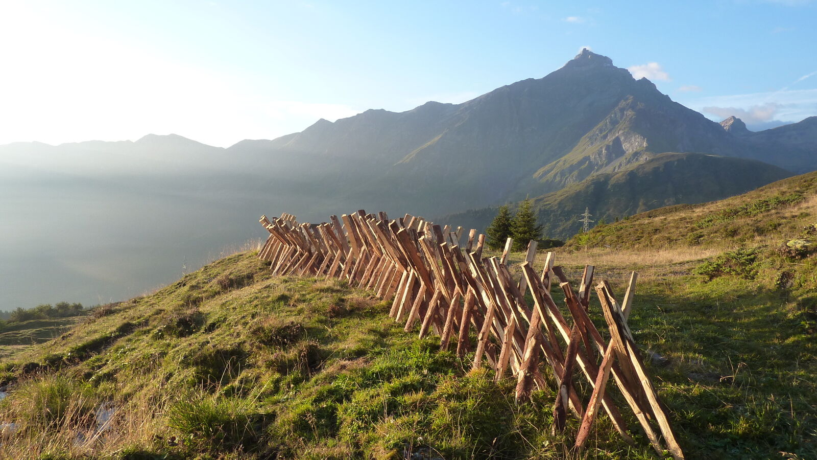
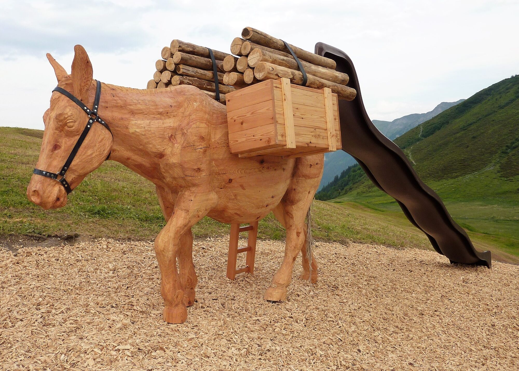
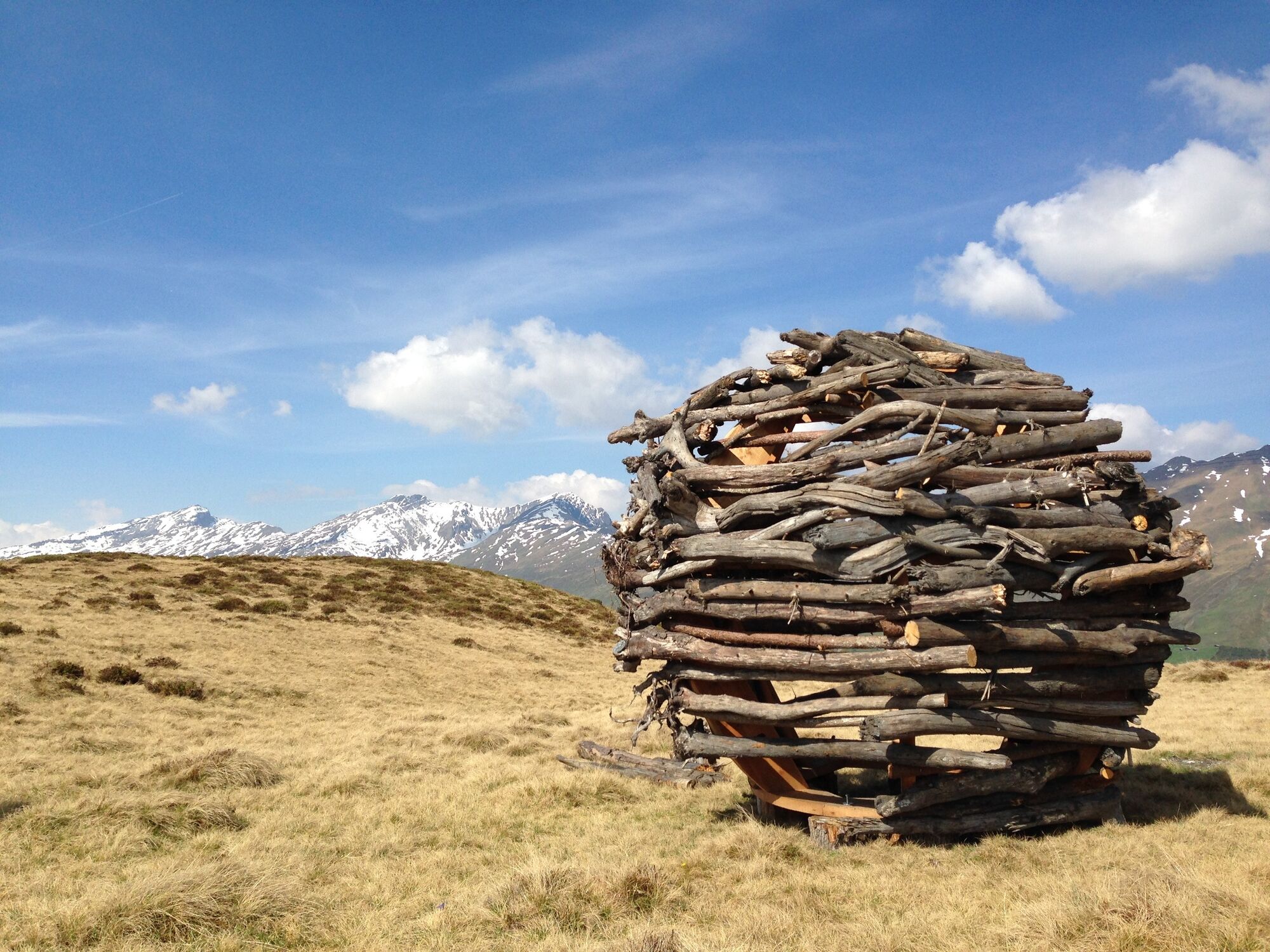
© Viamala Tourismus - Roman Eugster, Viamala Tourismus


- Kratak opis
-
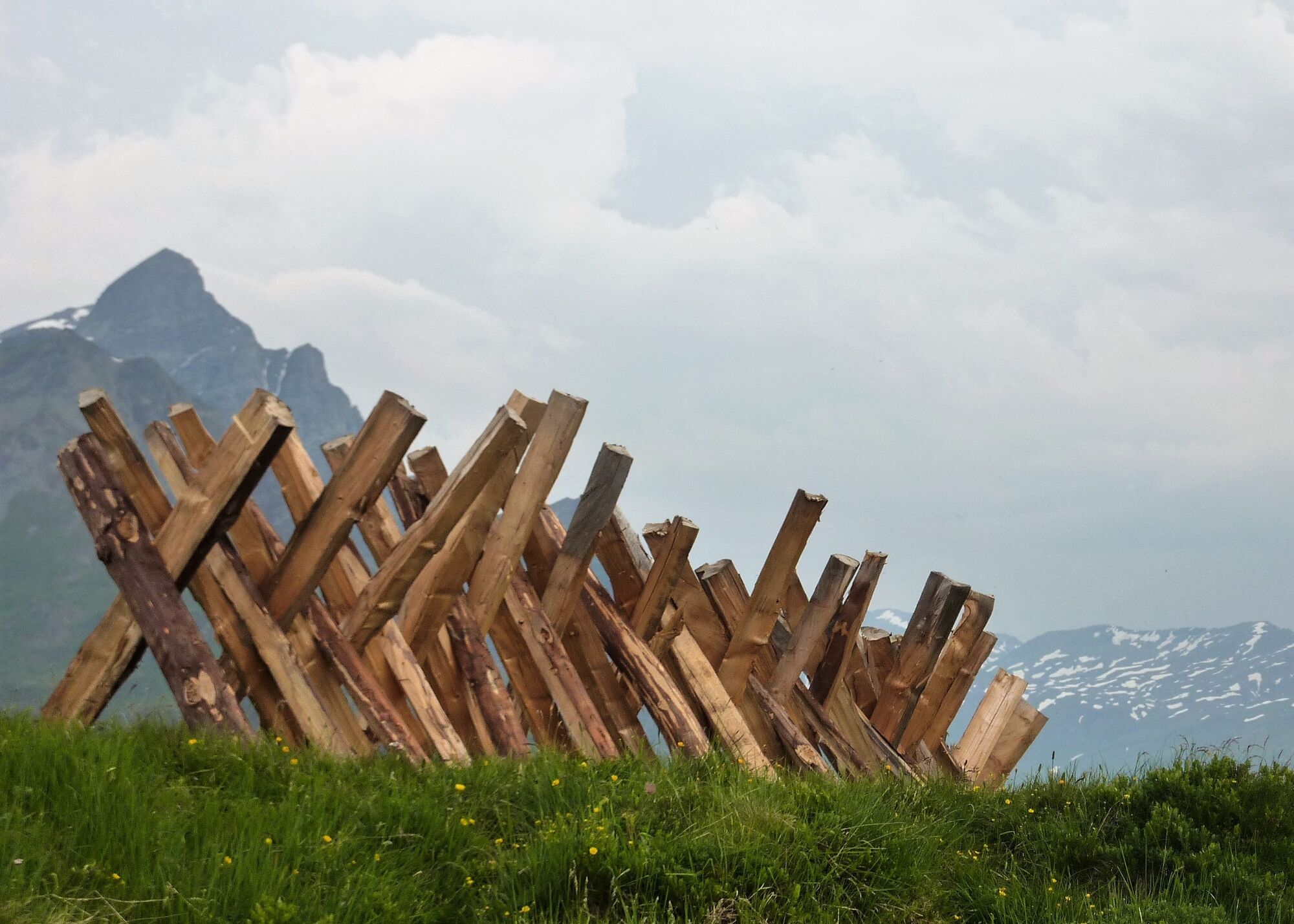
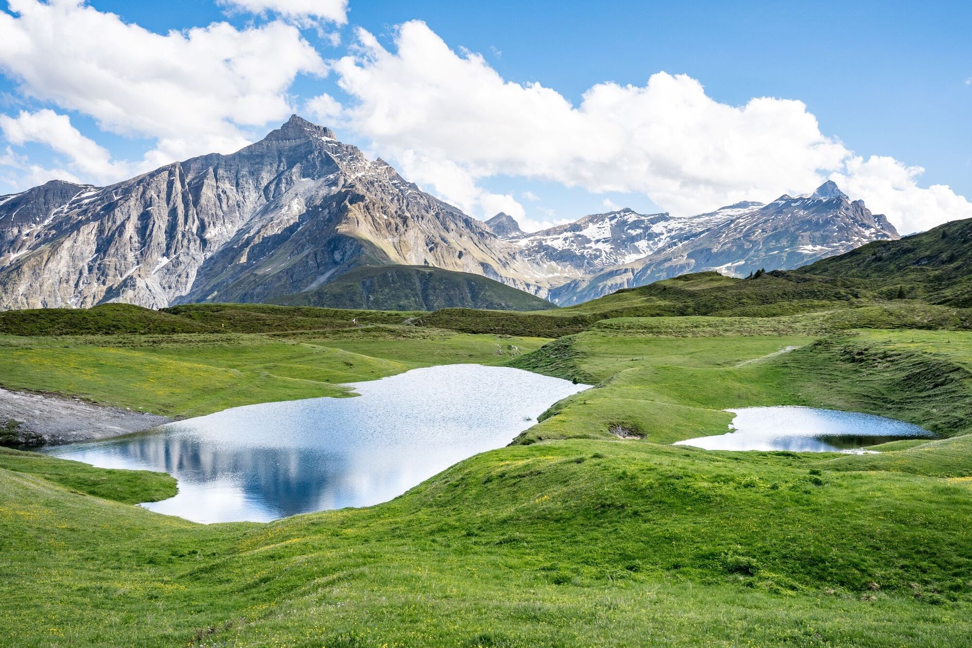
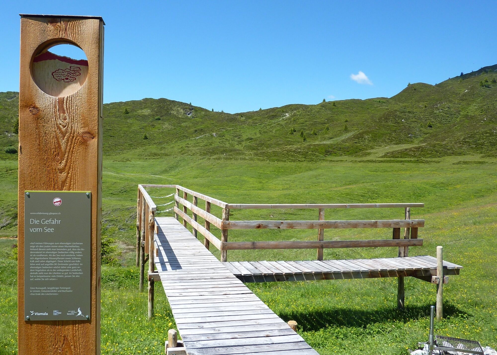
In 1910, the end of Lake Lüscher was sealed at Heinzenberg. The lake basin was drained. However, the end of Lake Lüscher is only part of the exciting story of the landslides on the Heinzenberg.
- Teškoća
-
srednje
- Vrednovanje
-
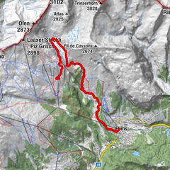
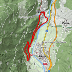
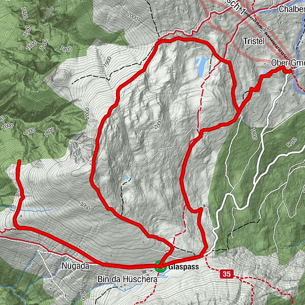
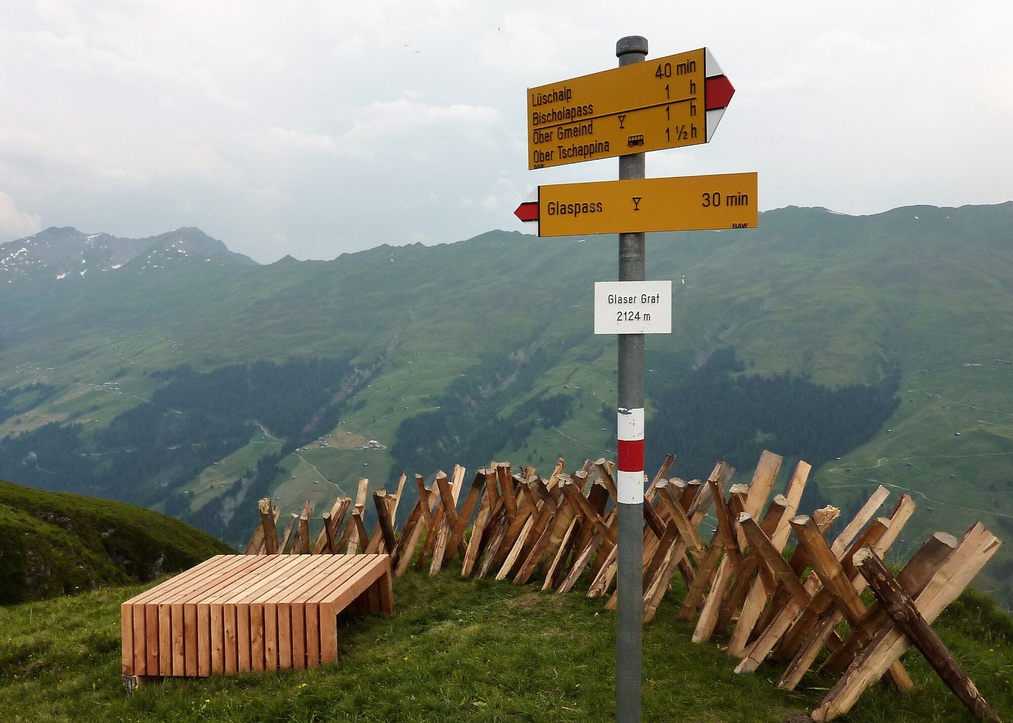
- Wegverlauf
-
Usser Glas0,1 kmUsser Glas4,3 kmBerggasthaus Beverin4,3 kmOber Gmeind8,8 km
- Beste Jahreszeit
-
sijveljožutrasvilipsrpkolrujlisstupro
- Höchster Punkt
- 2.120 m
- Zielpunkt
-
Glaspass, post bus stop
- Höhenprofil
-
 © outdooractive.com


- Autor
-
Die Tour Glaspass adventure trail - A mountain in the river wird von outdooractive.com bereitgestellt.
GPS Downloads


Opće informacije
Einkehrmöglichkeit
Kulturell/Historisch
Aussichtsreich