© © Christian Dettwiler, Textbildlabor, Flims - © <a href="mailto:c.dettwiler@textbildlabor.ch">Christian Dettwiler</a>, Textbildlabor, Flims

© © Christian Dettwiler, Textbildlabor, Flims - © Christian Dettwiler, Textbildlabor, Flims

© © Christian Dettwiler, Textbildlabor, Flims - © <a href="mailto:c.dettwiler@textbildlabor.ch">Christian Dettwiler</a>, Textbildlabor, Flims

© © Christian Dettwiler, Textbildlabor, Flims - © Christian Dettwiler, Textbildlabor, Flims

© © Christian Dettwiler, Textbildlabor, Flims - © Christian Dettwiler, Textbildlabor, Flims

© © Christian Dettwiler, Textbildlabor, Flims - © <a href="mailto:c.dettwiler@textbildlabor.ch">Christian Dettwiler</a>, Textbildlabor, Flims

© Christian Dettwiler, Textbildlabor, Flims - <a href="mailto:c.dettwiler@textbildlabor.ch">Christian Dettwiler</a>, Textbildlabor, Flims
- Kratak opis
-
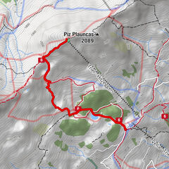
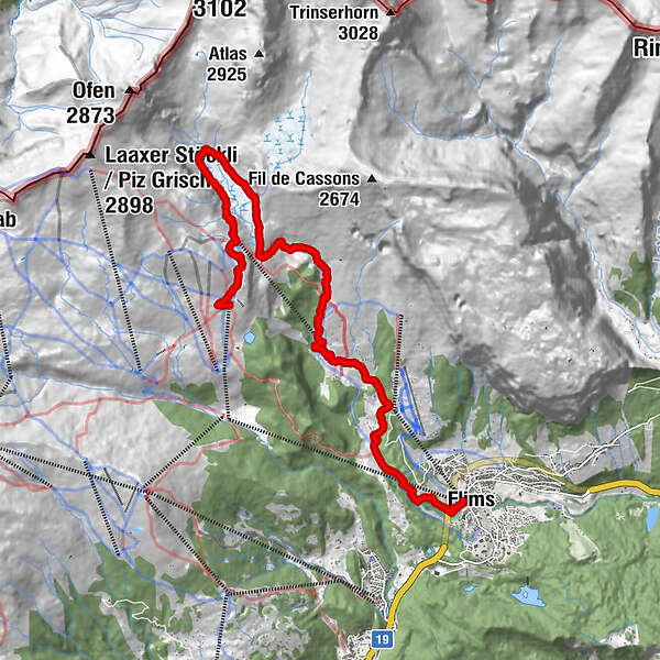
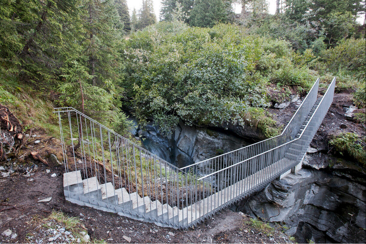
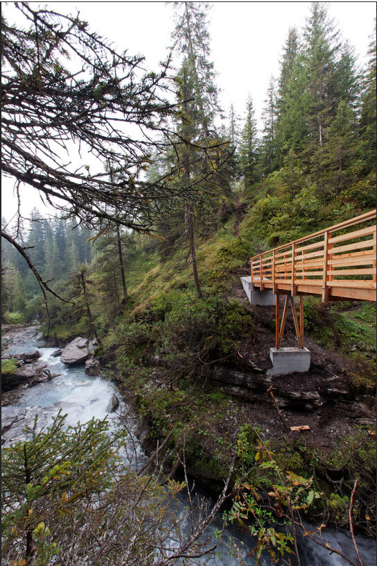
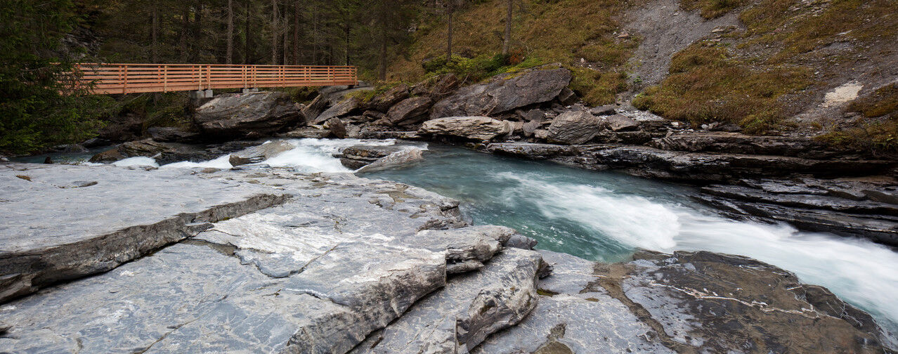
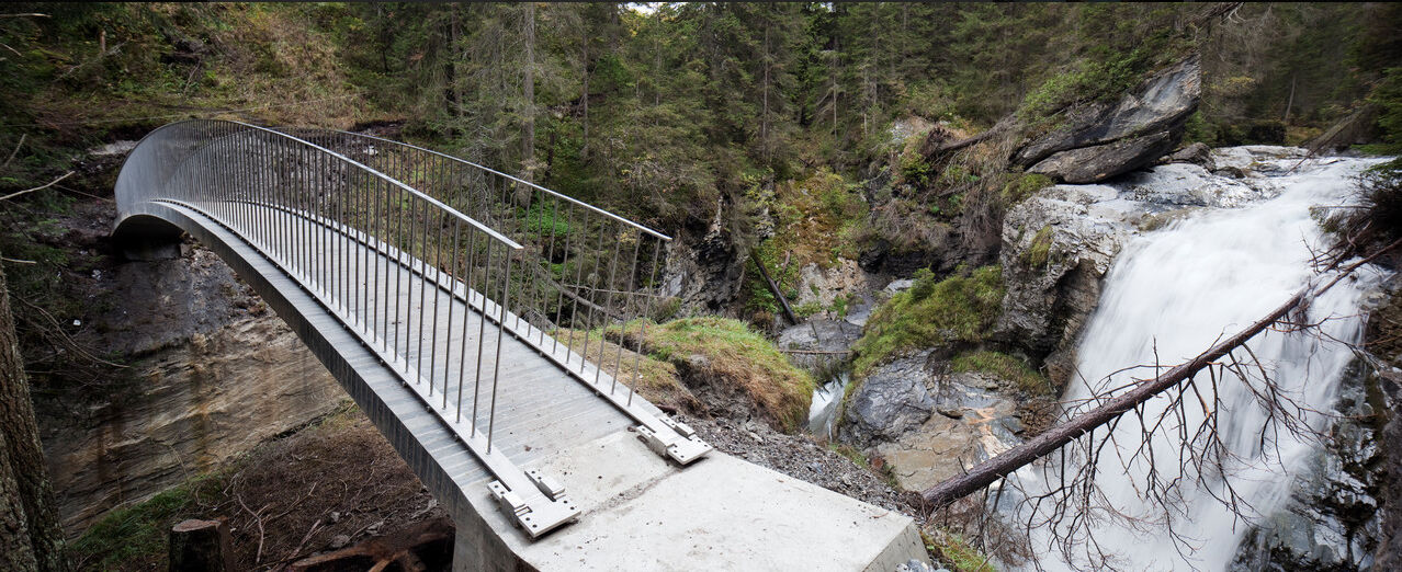
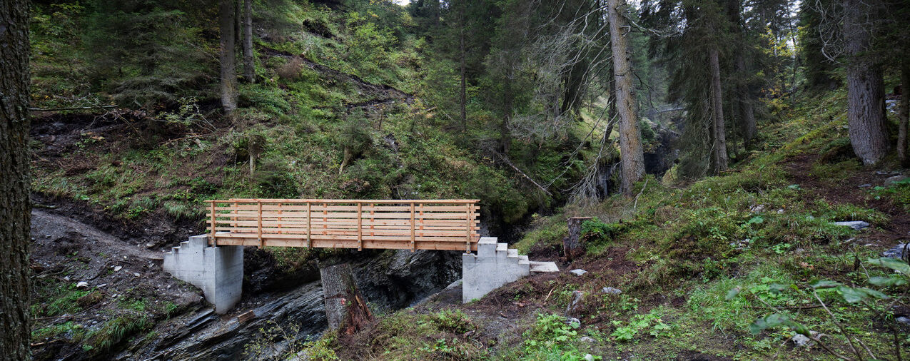
From the UNESCO World Heritage site of Sardona the new Trutg dil Flem trail follows the Flem stream from Segnesboden, past bizarre rock formations and breathtaking gorges through Europe’s largest landslide to Flims.
- Teškoća
-
srednje
- Vrednovanje
-
- Wegverlauf
-
Segnas4,7 kmPunt Desch7,9 kmStartgels8,7 kmFoppa (1.424 m)10,9 kmFlims (1.081 m)14,1 km
- Beste Jahreszeit
-
sijveljožutrasvilipsrpkolrujlisstupro
- Höchster Punkt
- 2.238 m
- Zielpunkt
-
Flims Bergbahnen
- Höhenprofil
-
 © outdooractive.com

- Autor
-
Die Tour 764 Trutg dil Flem, Flimser Watertrail wird von outdooractive.com bereitgestellt.
GPS Downloads


Opće informacije
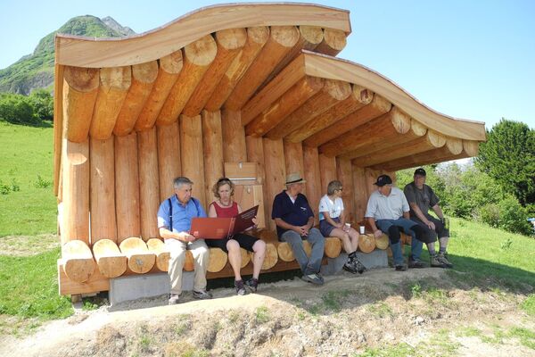
Einkehrmöglichkeit
Geheimtipp
Flora
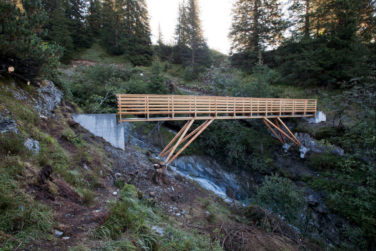
Aussichtsreich
Weitere Touren in den Regionen
-
Glarnerland
1972
-
Flims Laax Falera
772
-
Ladir
321