© Sedrun Disentis Tourismus - Heidi Meier

© Sedrun Disentis Tourismus - Heidi Meier

© Sedrun Disentis Tourismus - Heidi Meier

© Sedrun Disentis Tourismus - Heidi Meier

© Sedrun Disentis Tourismus - Heidi Meier

© Sedrun Disentis Tourismus - Heidi Meier

© Sedrun Disentis Tourismus - Heidi Meier

© Sedrun Disentis Tourismus - Heidi Meier

© Sedrun Disentis Tourismus - Heidi Meier

© Sedrun Disentis Tourismus - Heidi Meier

- Kratak opis
-
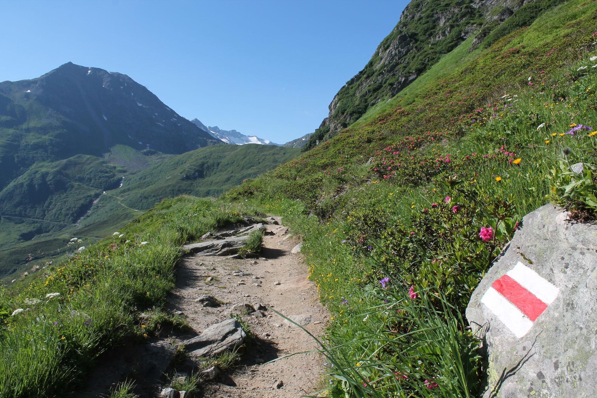
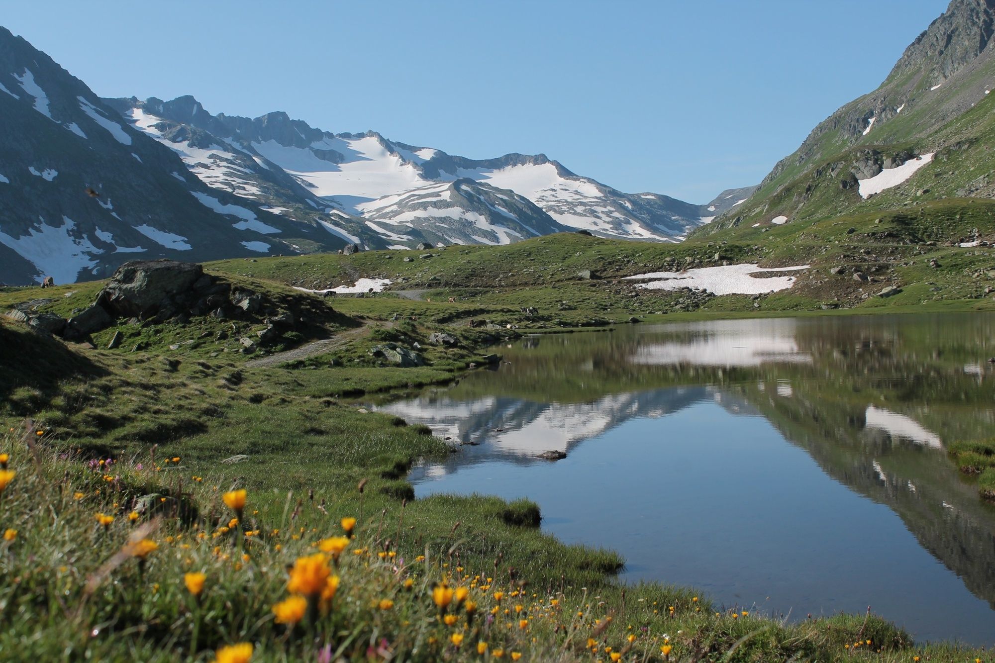
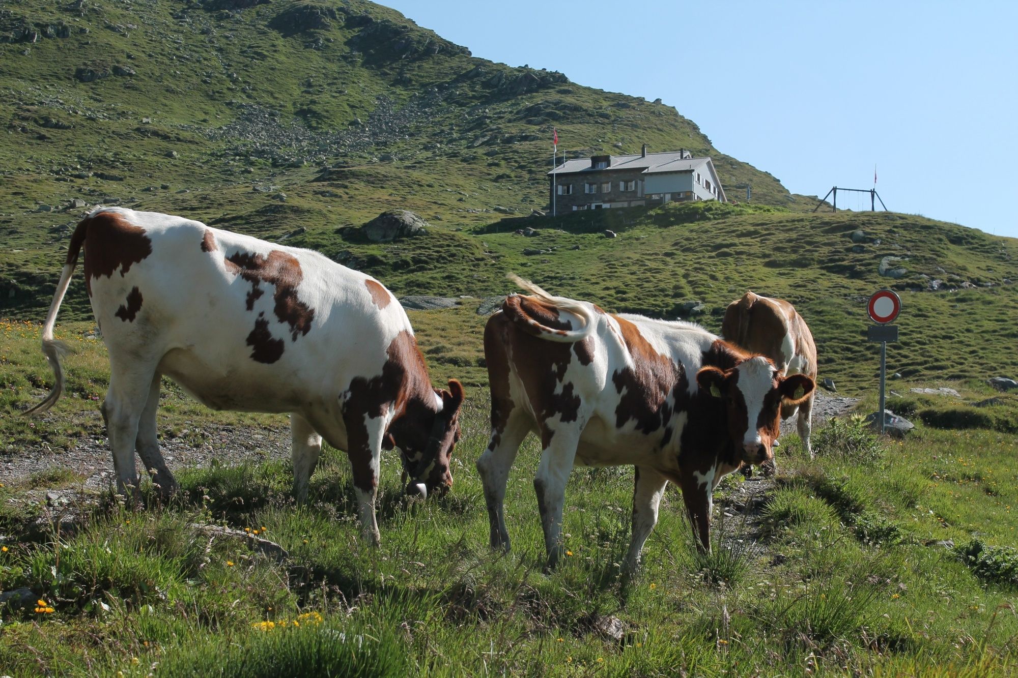
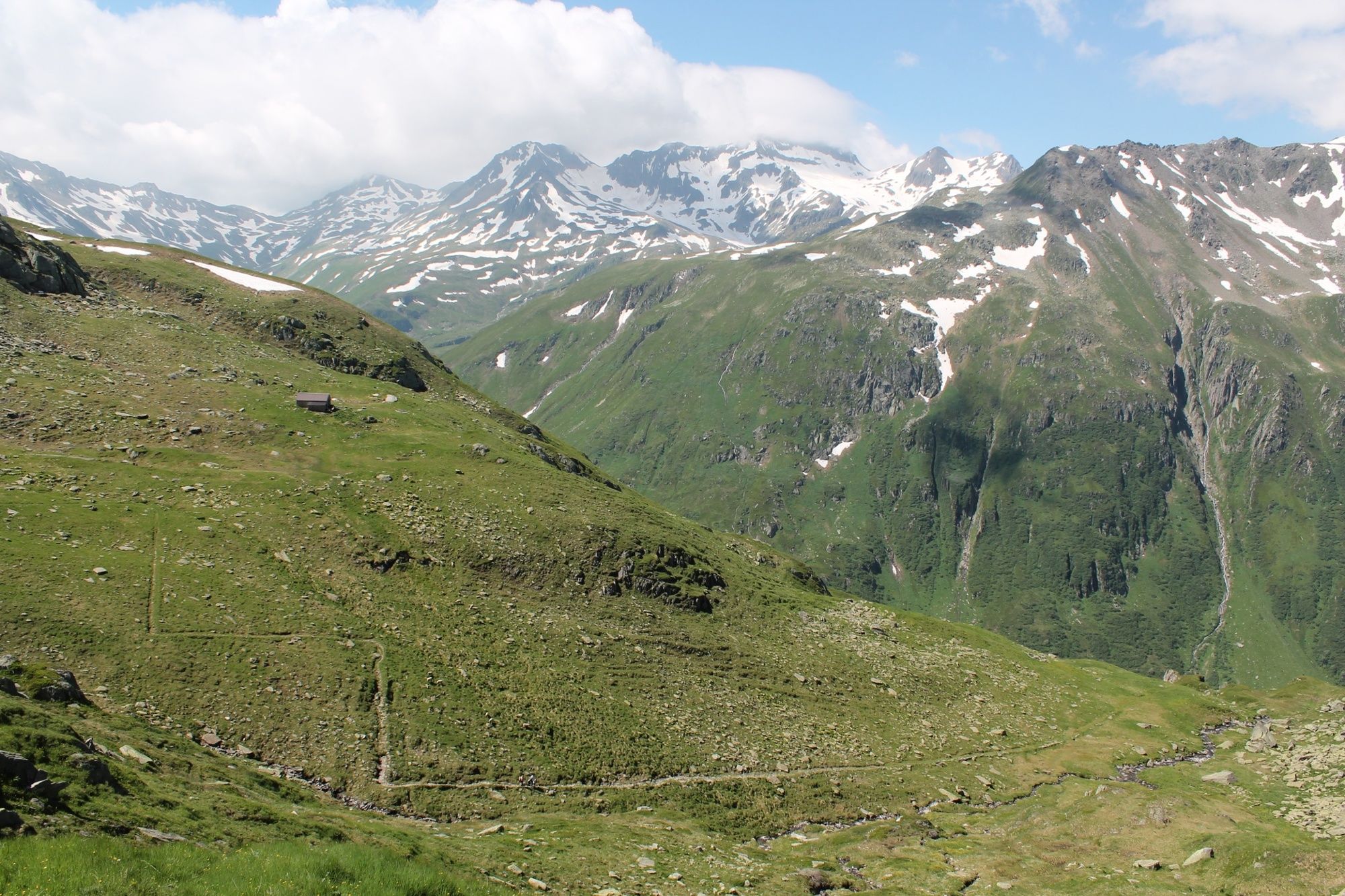
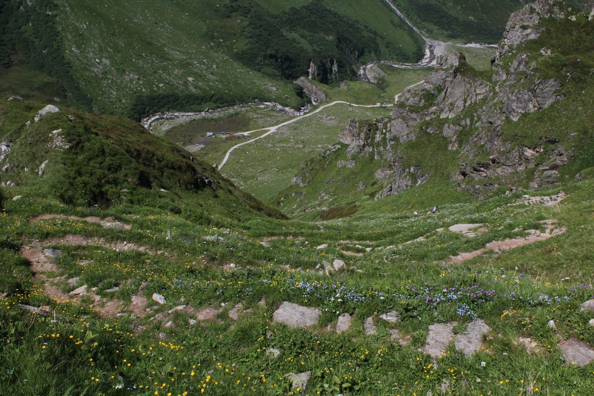
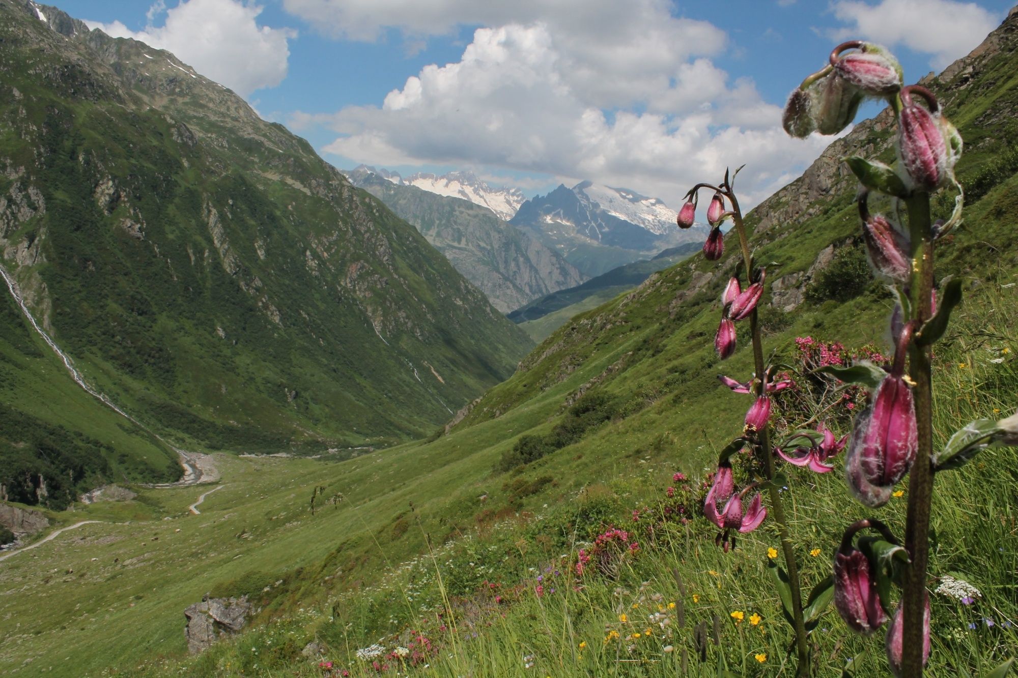
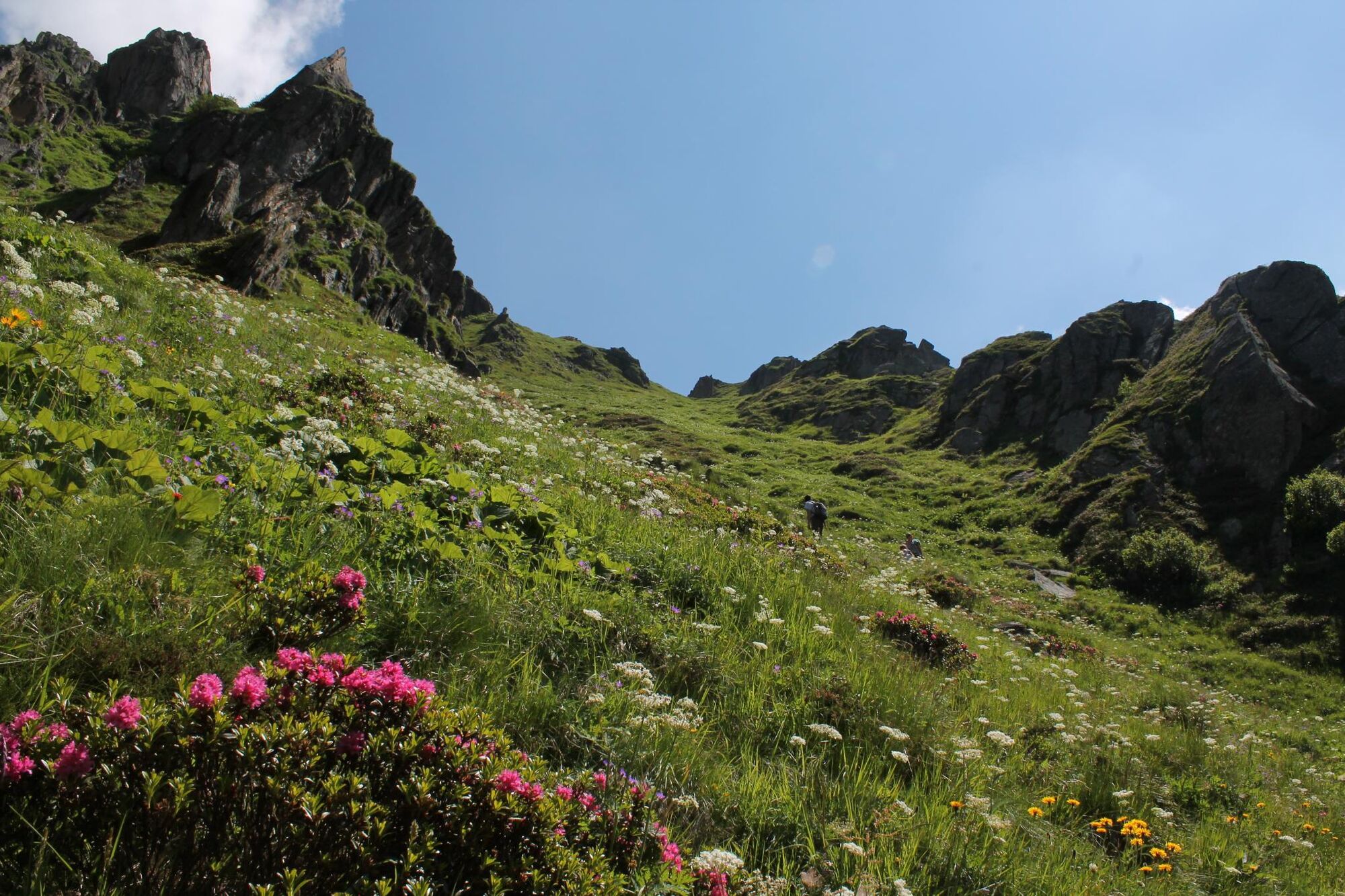
Extensive trail running in moderate ups and downs and with stopover in the Maighelshütte
- Teškoća
-
srednje
- Vrednovanje
-
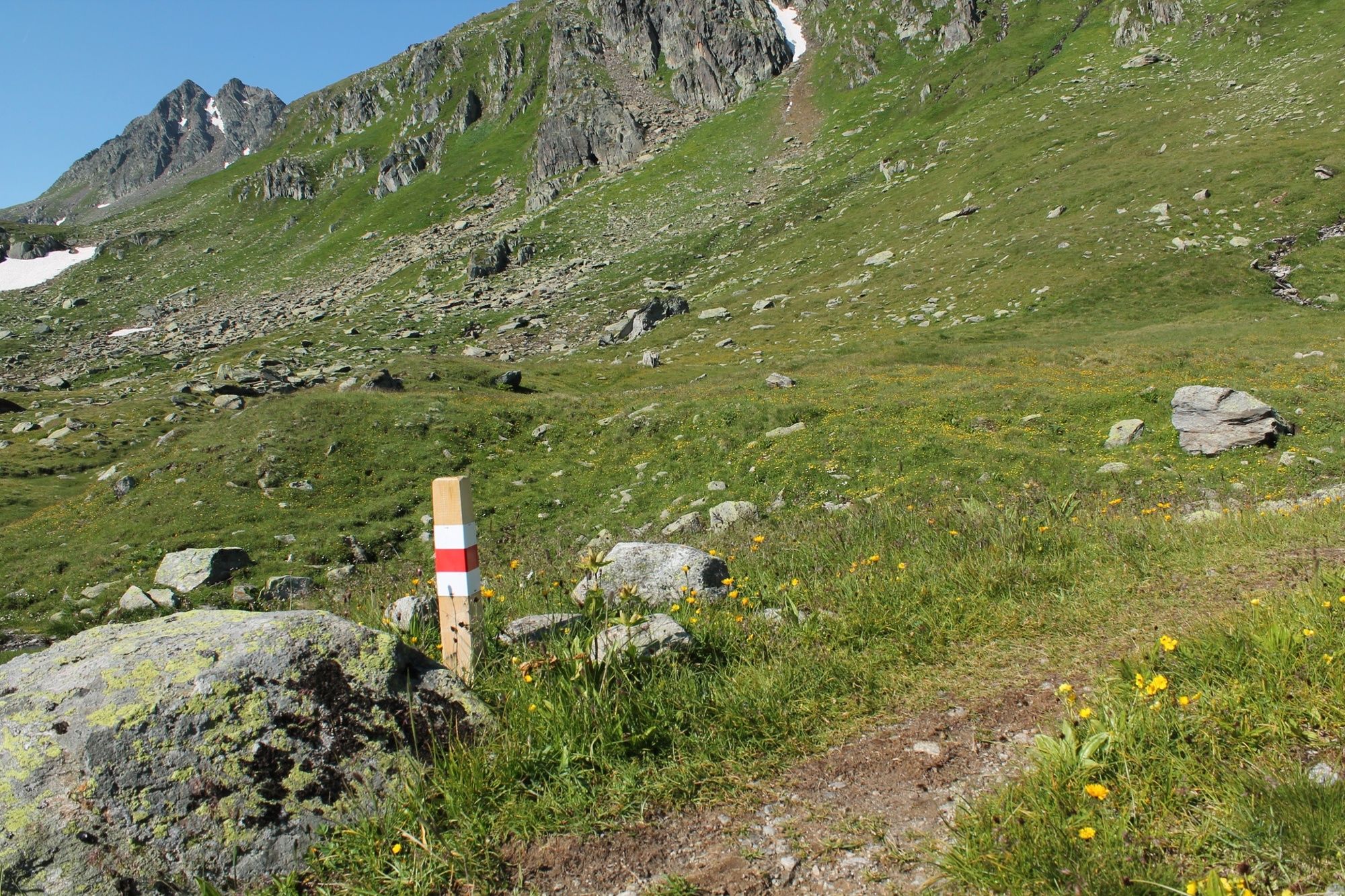
- Wegverlauf
-
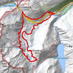
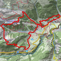
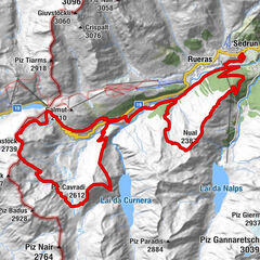
Gasthaus Piz Calmot0,1 kmMaighels-Hütte SAC (2.309 m)5,8 kmAndermatt (1.447 m)18,1 kmAndermatt (1.436 m)18,4 km
- Beste Jahreszeit
-
sijveljožutrasvilipsrpkolrujlisstupro
- Höchster Punkt
- 2.403 m
- Zielpunkt
-
Andermatt
- Höhenprofil
-
 © outdooractive.com


-

-
AutorDie Tour Lolenpass Trail wird von outdooractive.com bereitgestellt.
GPS Downloads


Opće informacije
Einkehrmöglichkeit
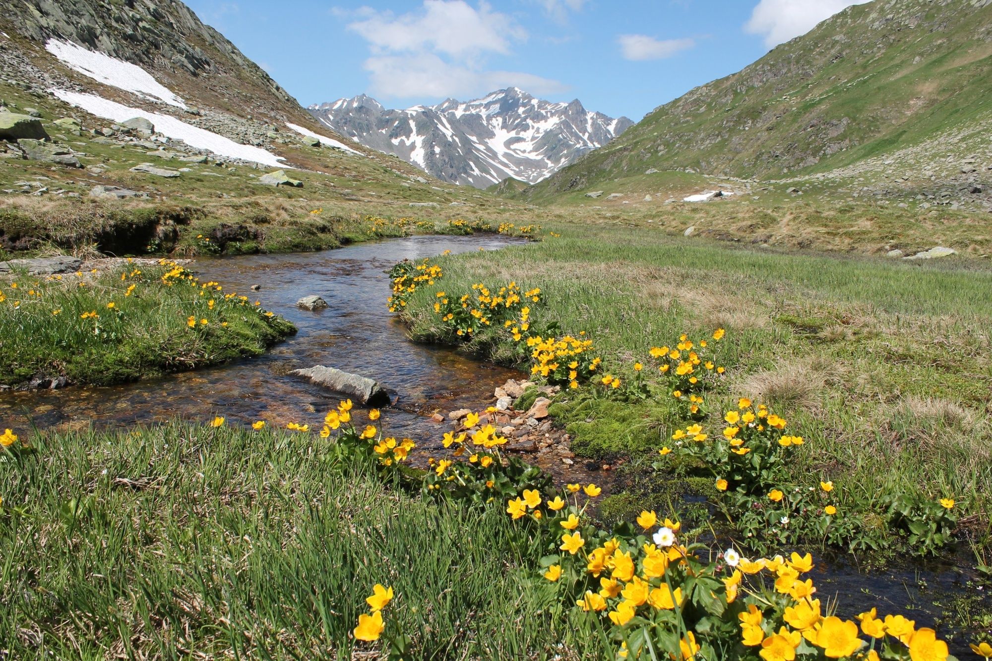
Aussichtsreich