


- Kratak opis
-
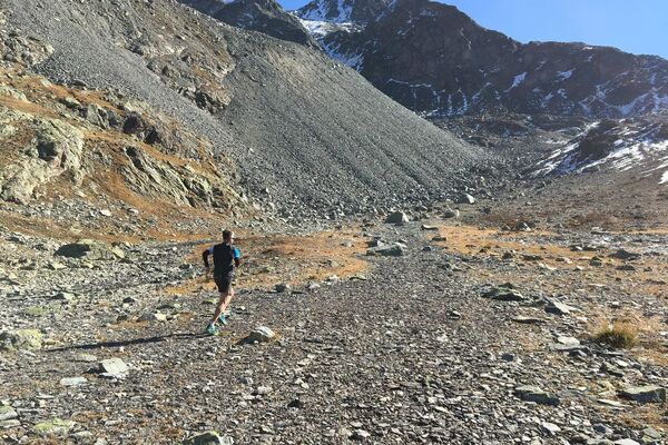
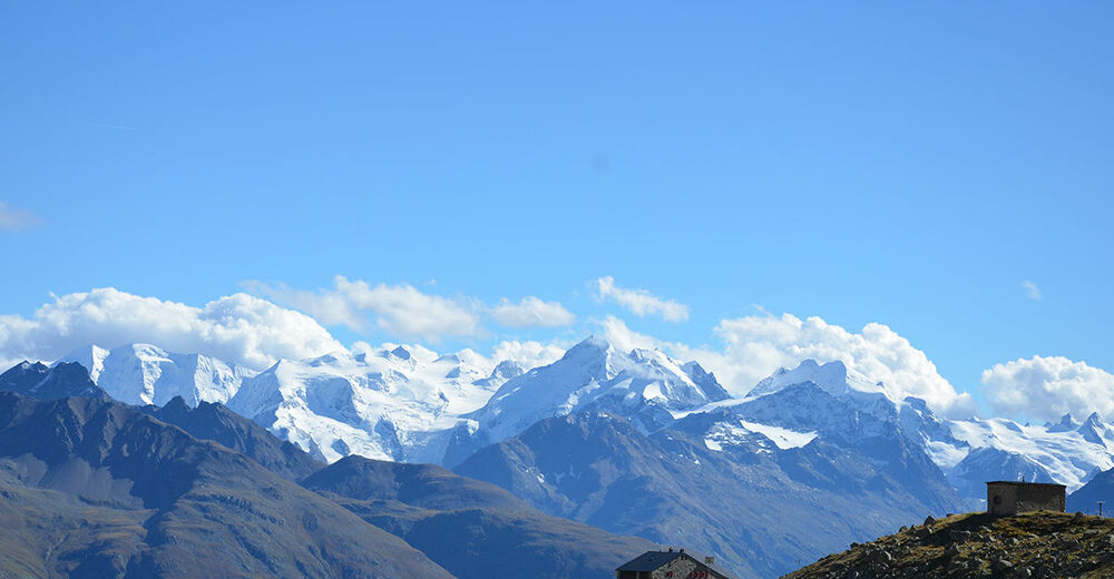
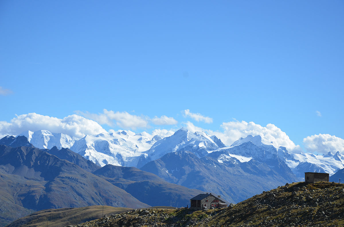
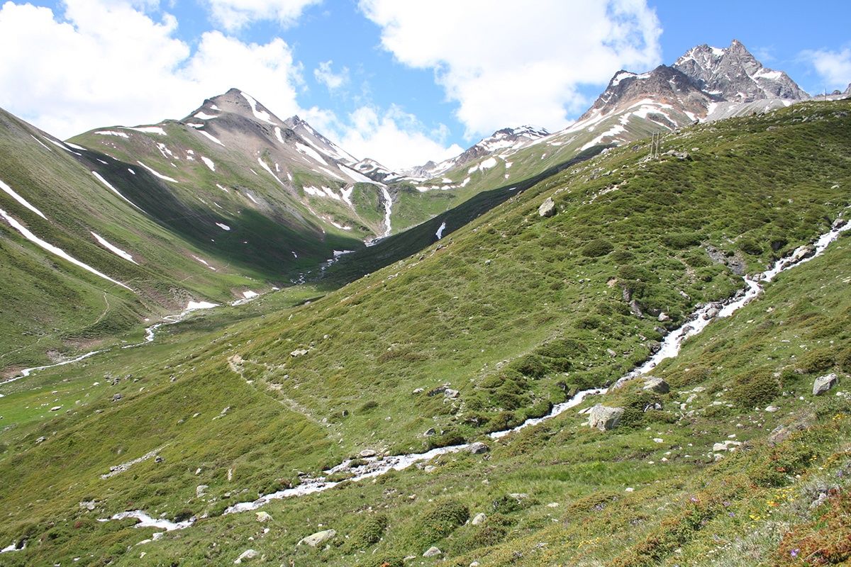
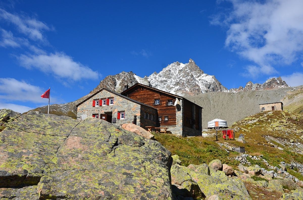
This challenging run leads you up to 2594 m above sea level, to the Chamanna d'Es-cha. The hut is located high above the Engadin with Piz Kesch in the background and a spectacular alpine panorama in front of you.
- Teškoća
-
teška
- Vrednovanje
-
- Wegverlauf
-
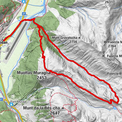
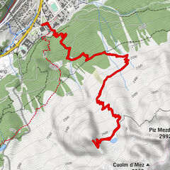
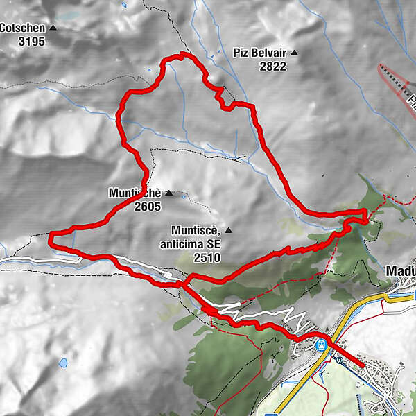
Foto-Spot La Punt0,2 kmAlbula0,3 kmBurdun0,4 kmLa Punt Chamues-ch (1.687 m)0,4 kmLa Punt0,5 kmChamanna d'Es-cha10,1 kmFuorcla Gualdauna (2.494 m)12,7 km
- Beste Jahreszeit
-
sijveljožutrasvilipsrpkolrujlisstupro
- Höchster Punkt
- 2.590 m
- Zielpunkt
-
La Punt Tourist Information
- Höhenprofil
-
 © outdooractive.com
- Autor
-
Die Tour Es-cha hut wird von outdooractive.com bereitgestellt.
GPS Downloads


Opće informacije
Einkehrmöglichkeit
Flora
Aussichtsreich
Weitere Touren in den Regionen
-
Engadin St. Moritz
104
-
La Punt
46