© Arosa Lenzerheide - Arosa Tourismus

© Arosa Lenzerheide - Arosa Tourismus

© Arosa Lenzerheide - Arosa Tourismus


- Kratak opis
-
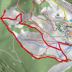
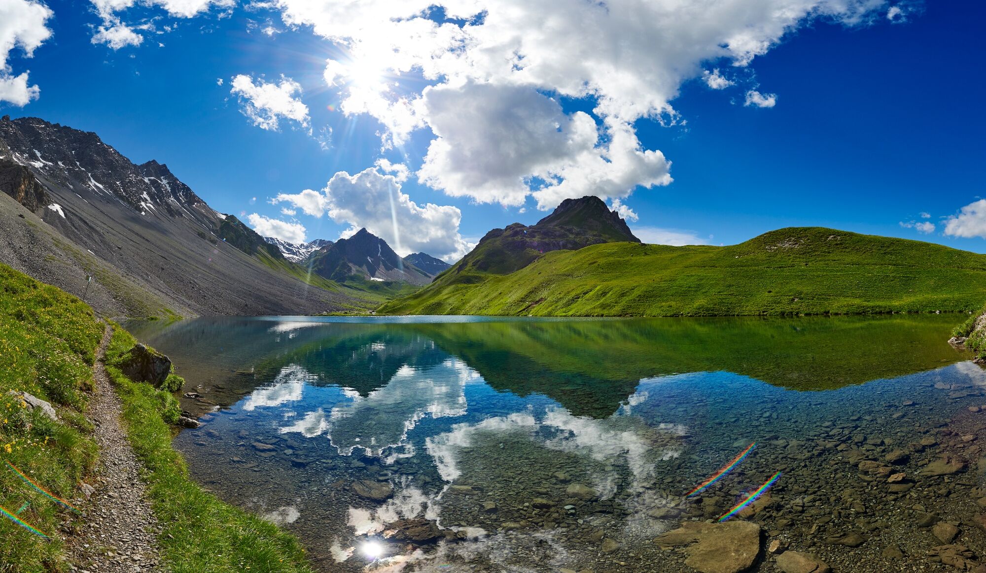
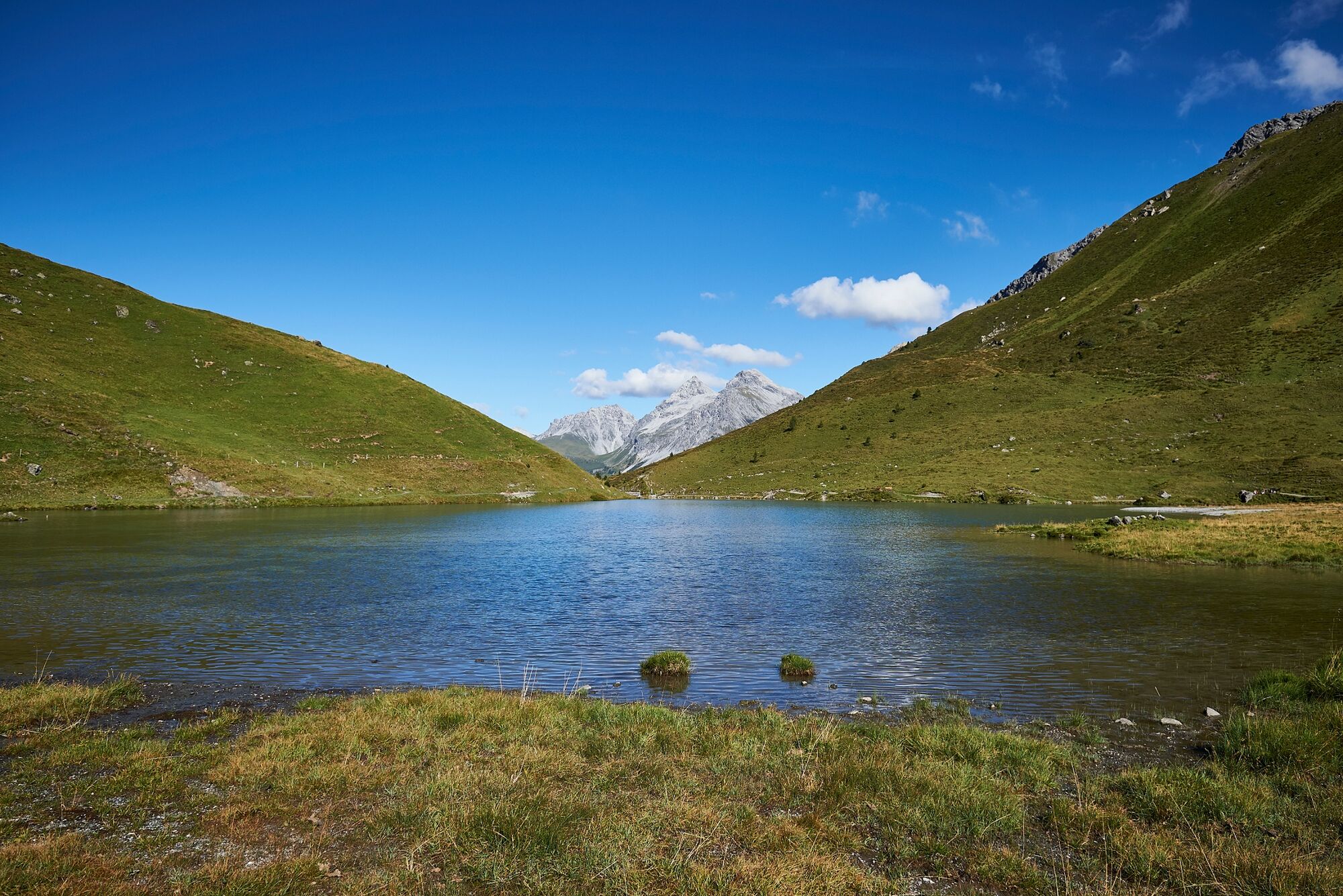
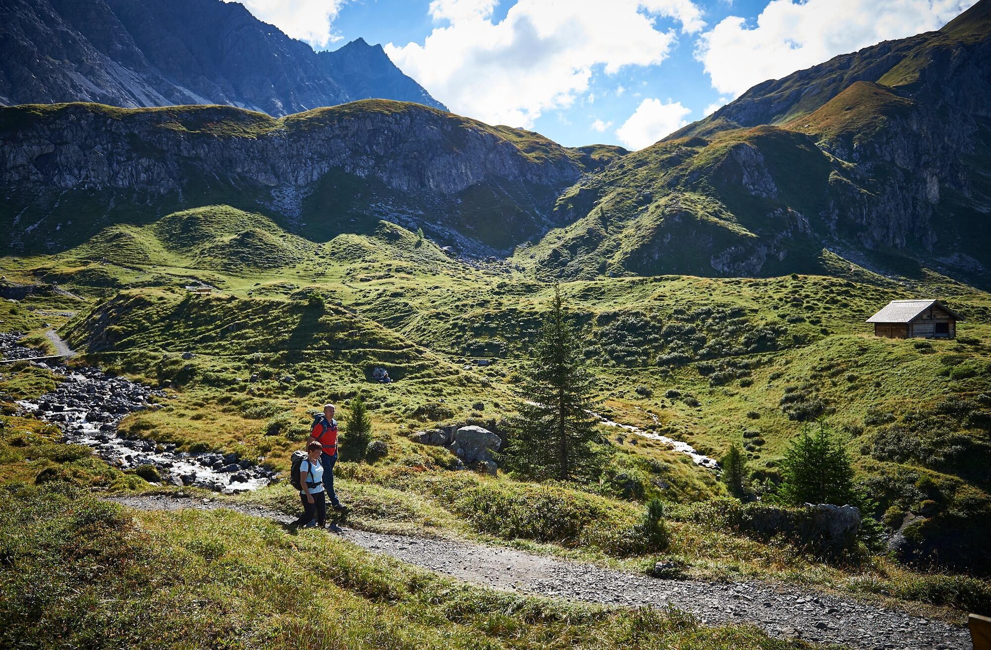
This hike takes you to 2 of a total of 10 lakes in Arosa. From the Hörnli valley station you reach the Älplisee and afterwards the Schwellisee. At the end you will return to the Hörnli.
- Teškoća
-
srednje
- Vrednovanje
-
- Wegverlauf
-
Innerarosa (1.820 m)Alpenblick0,9 kmInnerarosa (1.820 m)7,4 km
- Beste Jahreszeit
-
sijveljožutrasvilipsrpkolrujlisstupro
- Höchster Punkt
- 2.171 m
- Zielpunkt
-
Hörnli Valley Station
- Höhenprofil
-
 © outdooractive.com
- Autor
-
Die Tour 2 Lake Hike to the Älplisee and the Schwellisee wird von outdooractive.com bereitgestellt.
GPS Downloads


Opće informacije
Einkehrmöglichkeit
Aussichtsreich
Weitere Touren in den Regionen
-
Arosa Lenzerheide
816
-
Hochwang
281