

© Manuel - Manuel Siegrist

© Prättigau Marketing - Älplibahn Malans

© Prättigau Marketing - Älplibahn Malans

© Älplibahn Malans - Daniela Göpfert

© Unbekannt

© Maiensäss Valcaus

© Unbekannt

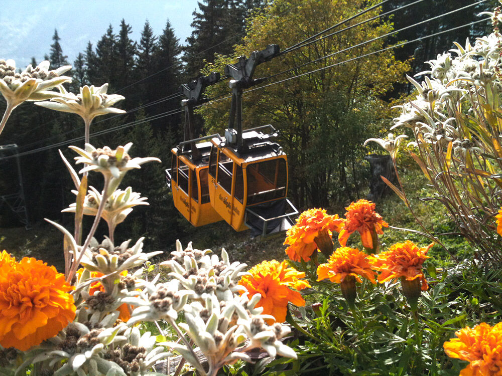
© Älplibahn Malans
- Kratak opis
-
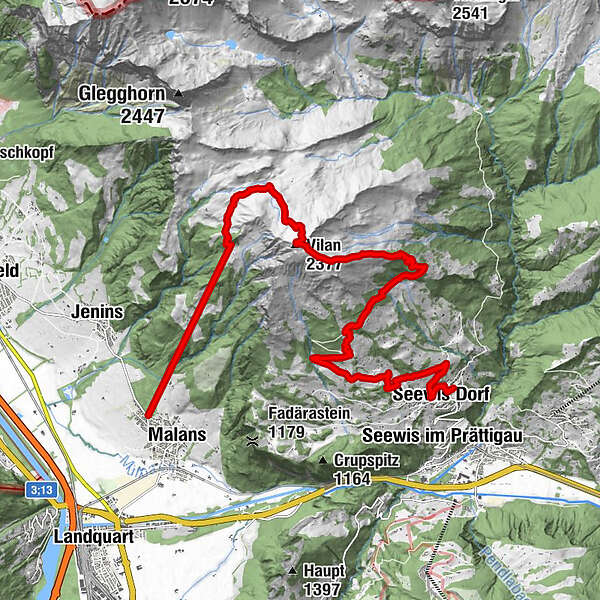
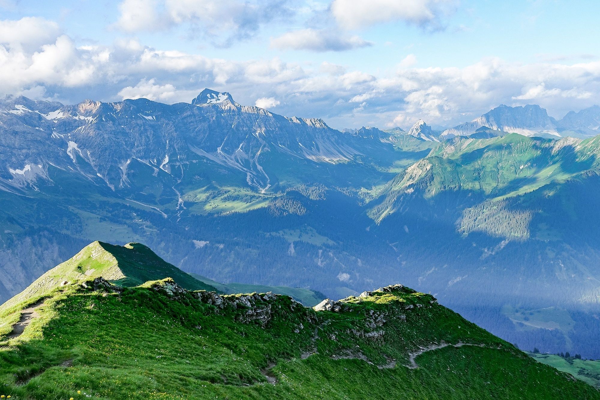
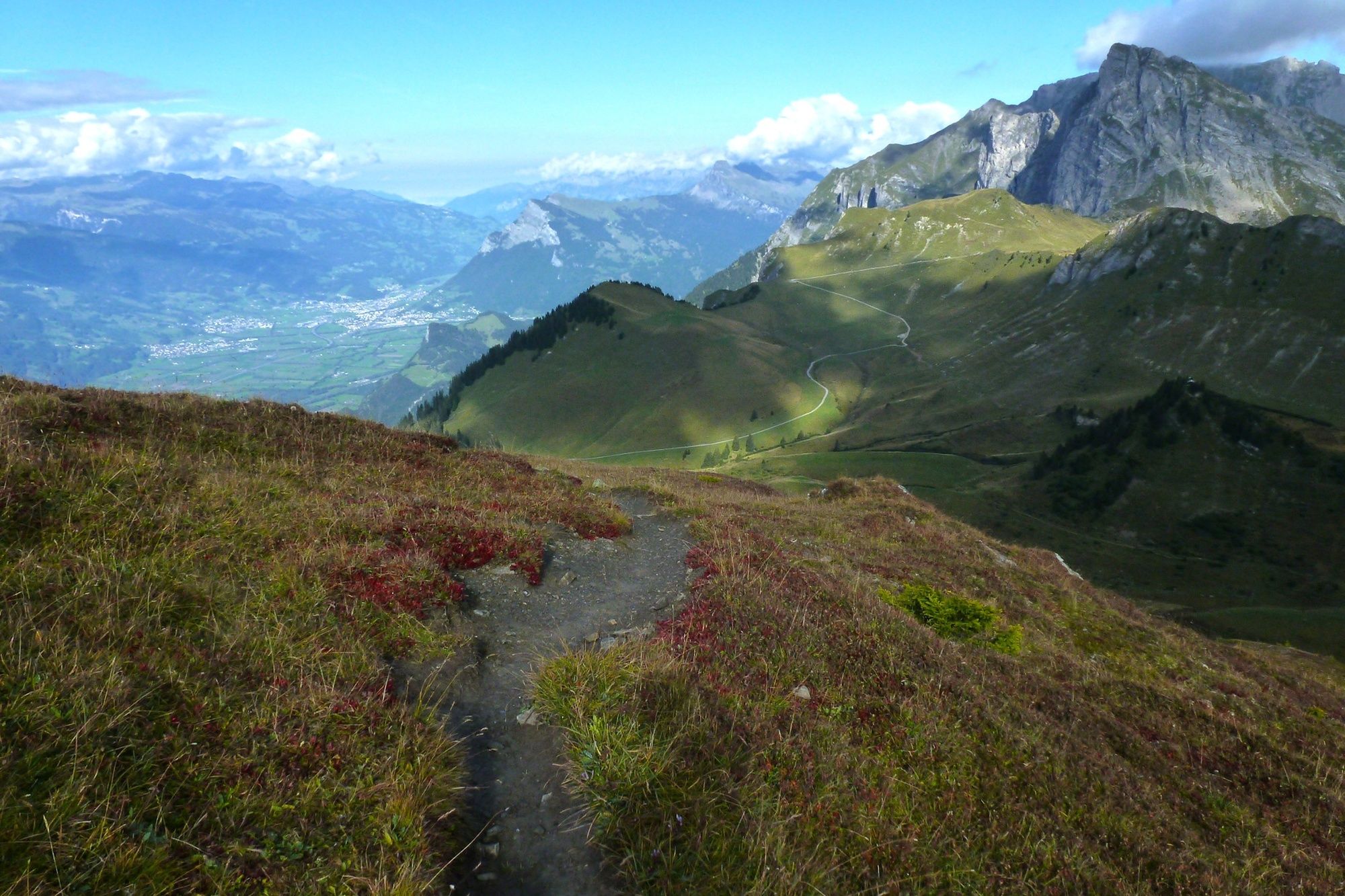
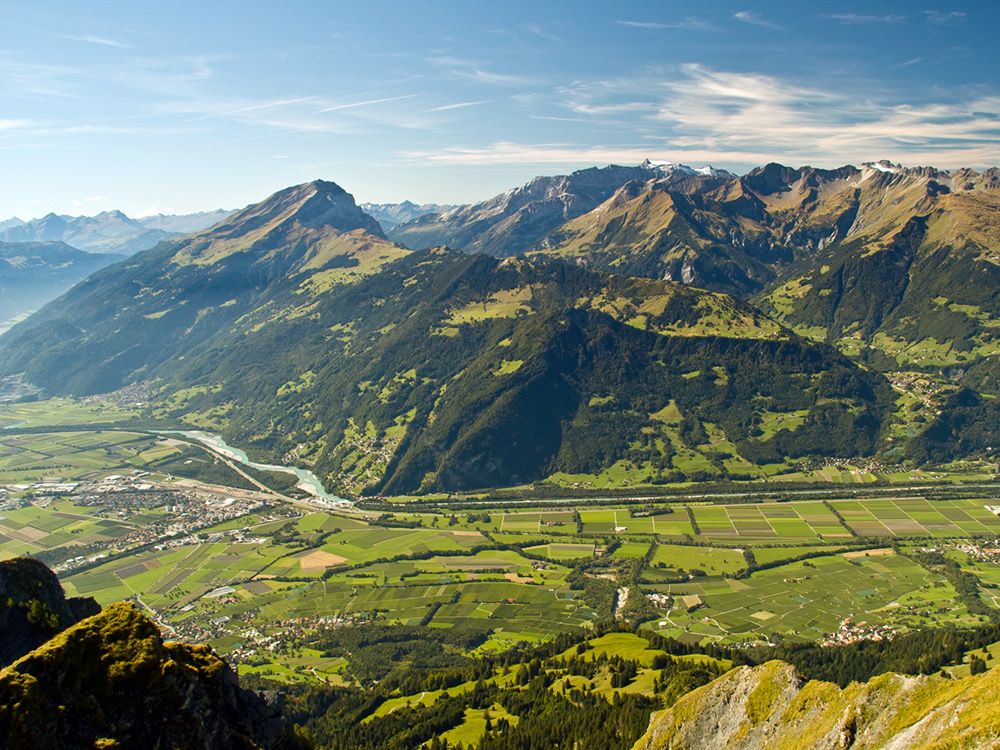
Beautiful, but physically demanding hike to Seewis. However, the hike is not technically difficult and the views into the Rätikon and the Prättigau are extraordinary.
- Teškoća
-
srednje
- Vrednovanje
-
- Wegverlauf
-
Älpli (1.801 m)3,4 kmÄlplibahn Bergrestaurant3,4 kmVilan (2.377 m)6,7 kmRunggalina15,9 kmGälliplanta16,2 kmPatällas16,6 kmLanggassa17,1 kmSeewis Dorf17,1 kmSchlossbündti17,1 kmRodanos17,2 kmPardiel17,5 kmRestaurant Chesa Plana17,5 kmRestaurant Schlössli17,5 kmMotta17,5 kmRuofna17,6 kmValjugas17,6 km
- Beste Jahreszeit
-
sijveljožutrasvilipsrpkolrujlisstupro
- Höchster Punkt
- 2.359 m
- Zielpunkt
-
Seewis
- Höhenprofil
-
 © outdooractive.com


-

-
AutorDie Tour Via Vilan Peak to Seewis wird von outdooractive.com bereitgestellt.
GPS Downloads


Opće informacije
Einkehrmöglichkeit
Aussichtsreich
Weitere Touren in den Regionen
-
Heidiland
2201
-
Bündner Herrschaft
1202
-
Seewis
253


