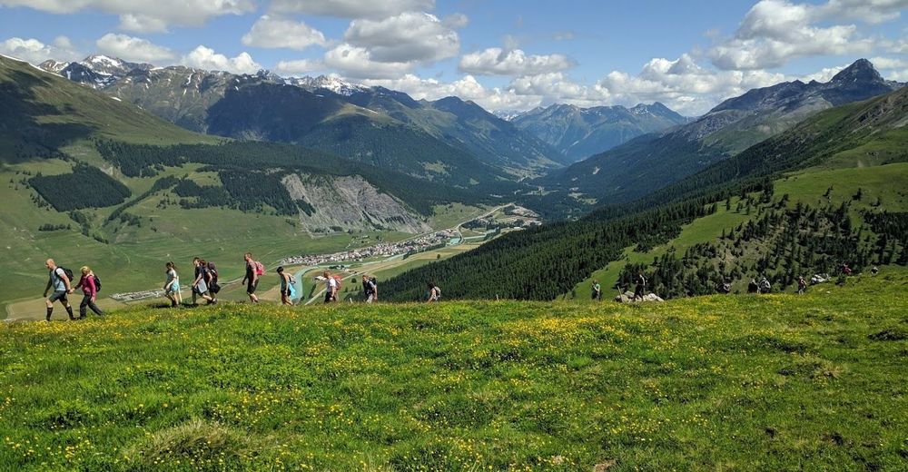
© Intersoc VZW - Werner Van Giel
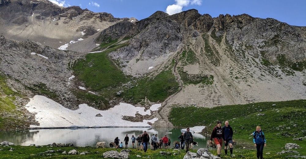
© Intersoc VZW - Werner Van Giel

- Kratak opis
-
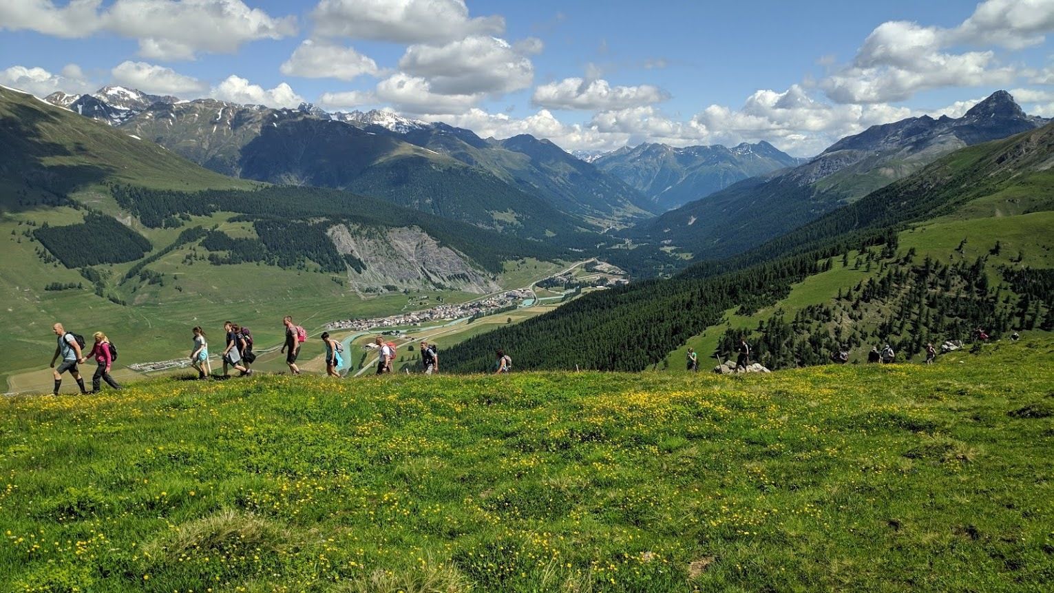
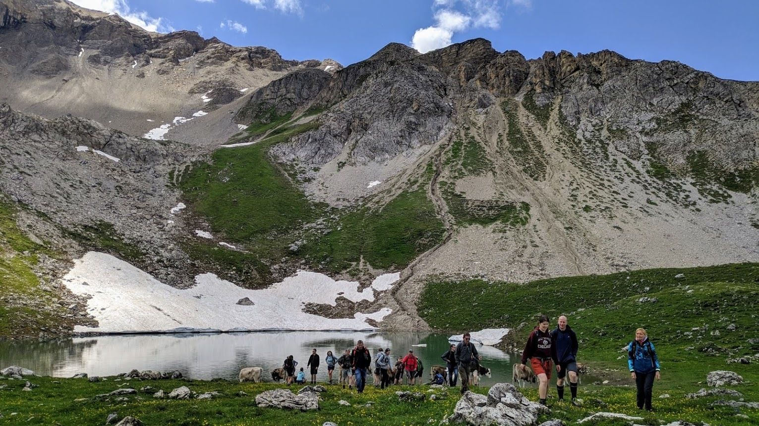
Lej da Prastinaun - Alp Arpiglia
- Teškoća
-
srednje
- Vrednovanje
-
- Wegverlauf
-
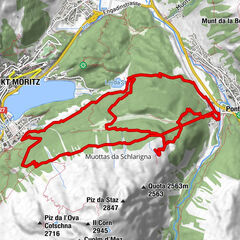
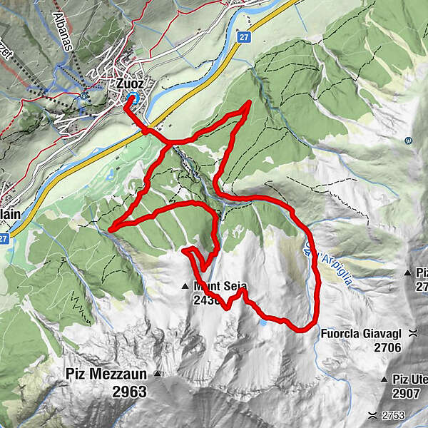
Zuoz (1.716 m)Resgia0,6 kmAlp Arpiglia (2.120 m)9,2 kmResgia12,8 kmZuoz (1.692 m)13,6 km
- Beste Jahreszeit
-
sijveljožutrasvilipsrpkolrujlisstupro
- Höchster Punkt
- 2.441 m
- Zielpunkt
-
Zuoz Station
- Höhenprofil
-
 © outdooractive.com
-

-
AutorDie Tour STM-DW - Alp Arpiglia - Lej da Prastinaun wird von outdooractive.com bereitgestellt.
GPS Downloads


Weitere Touren in den Regionen
-
Engadin St. Moritz
782
-
Zuoz
188