© Intersoc Belgium - Lieselot Dequidt

© Intersoc Belgium - Anne Eeckhout

© Intersoc Belgium - Anne Eeckhout

© Intersoc Belgium - Anne Eeckhout

© Intersoc Belgium - Anne Eeckhout

© Intersoc Belgium - Anne Eeckhout

© Intersoc Belgium - Anne Eeckhout

- Kratak opis
-
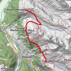
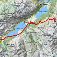
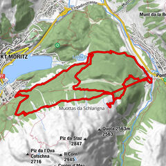
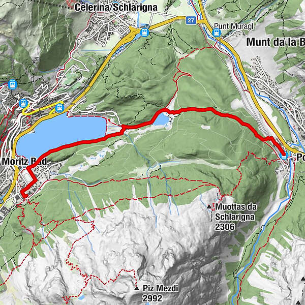
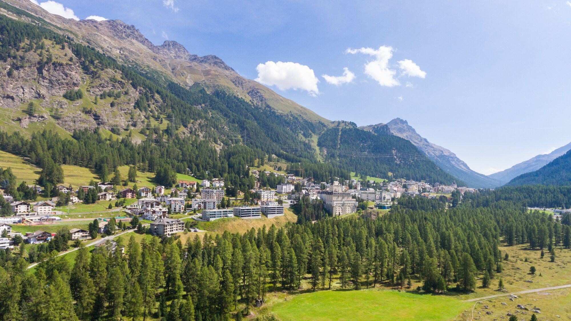
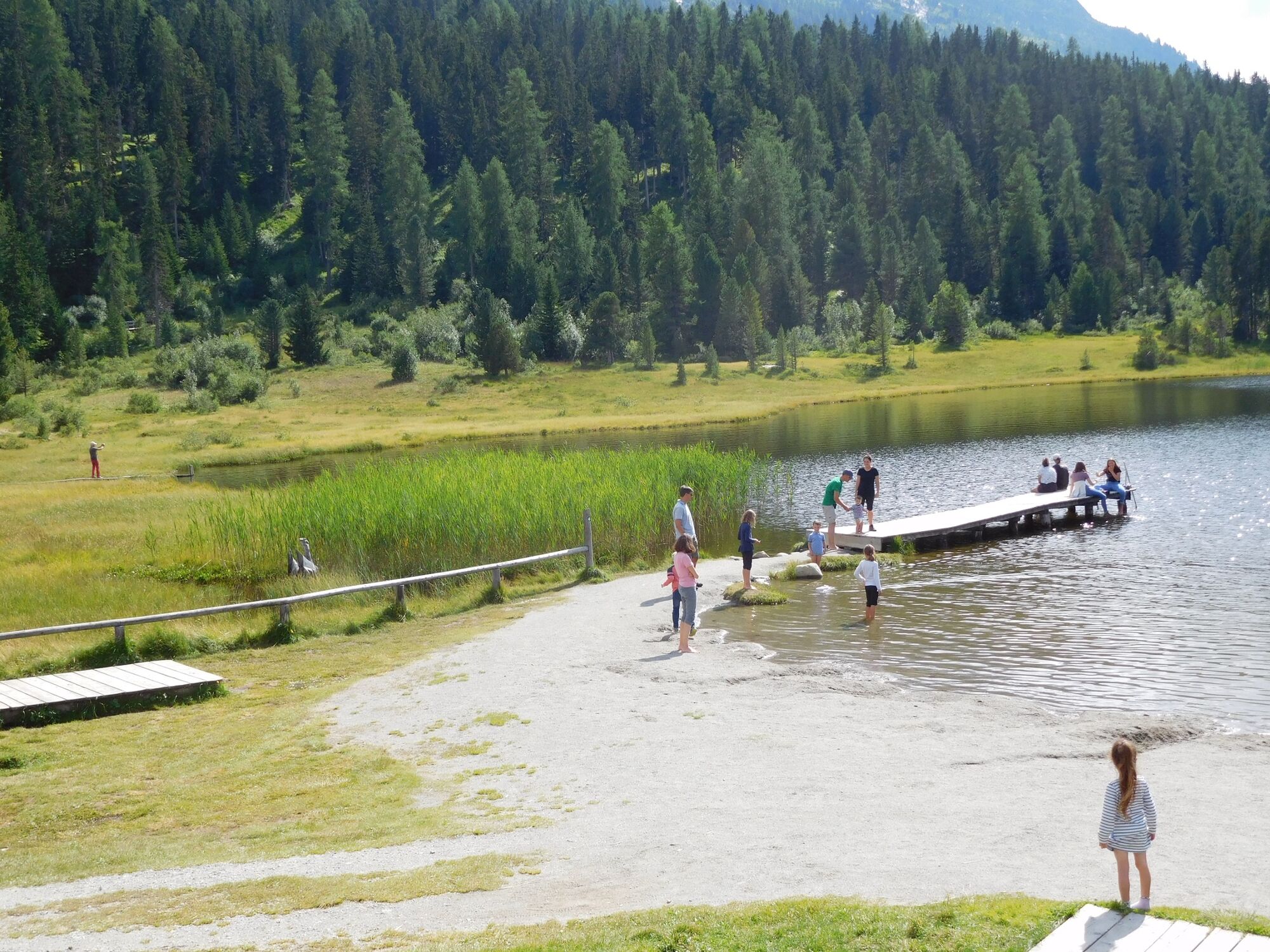
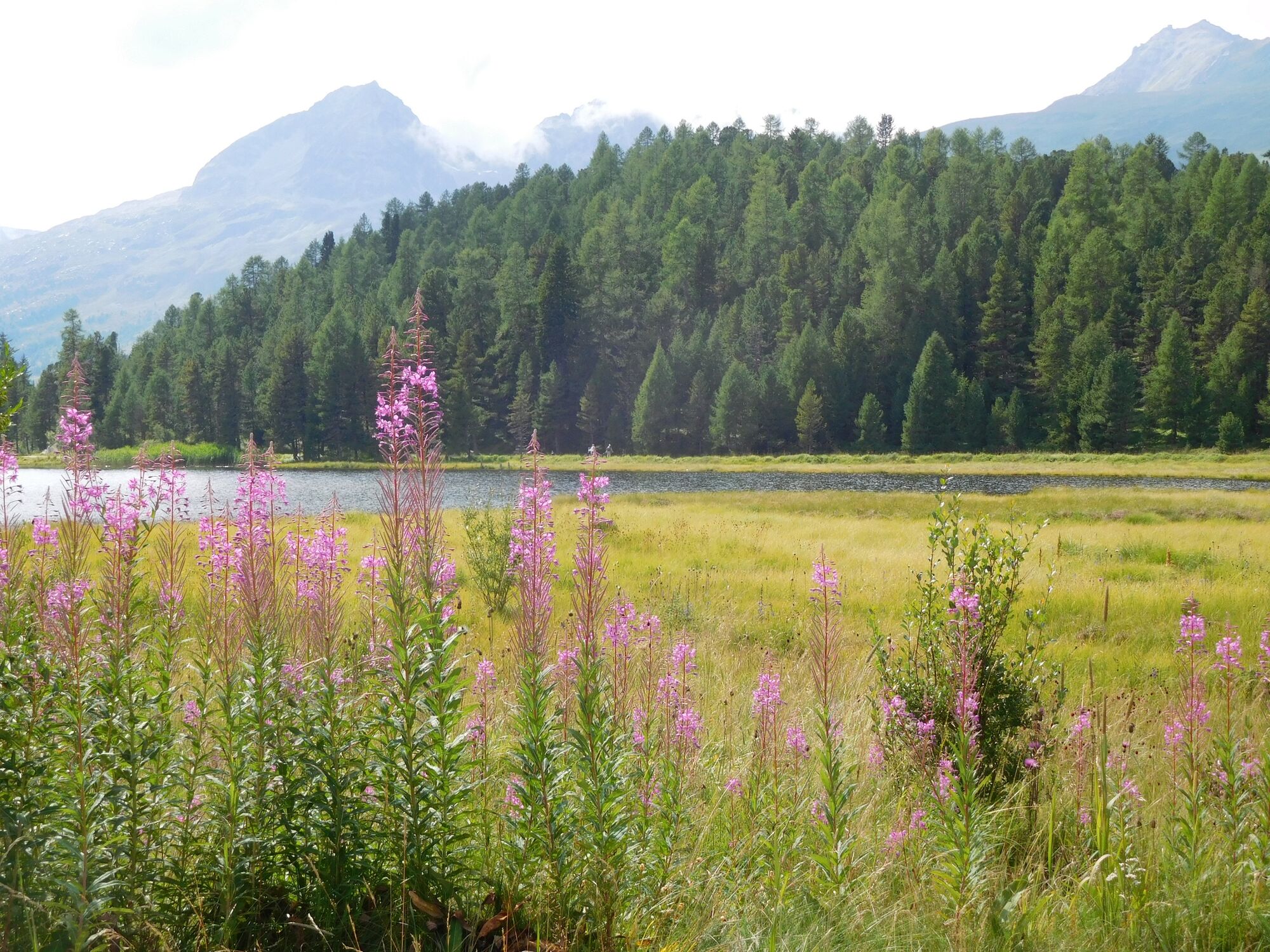
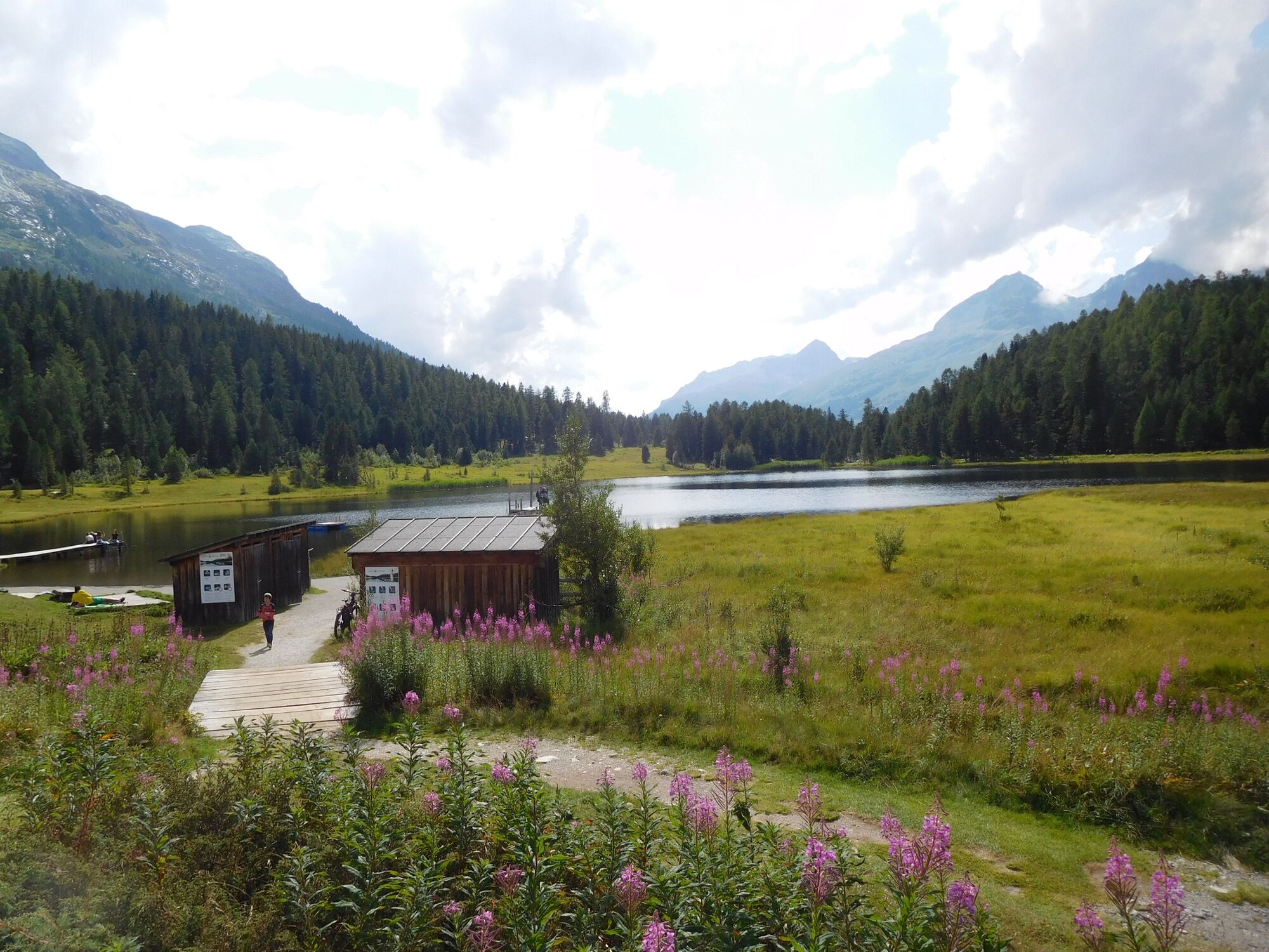
Pontresina - St. Moritz
- Teškoća
-
lagano
- Vrednovanje
-
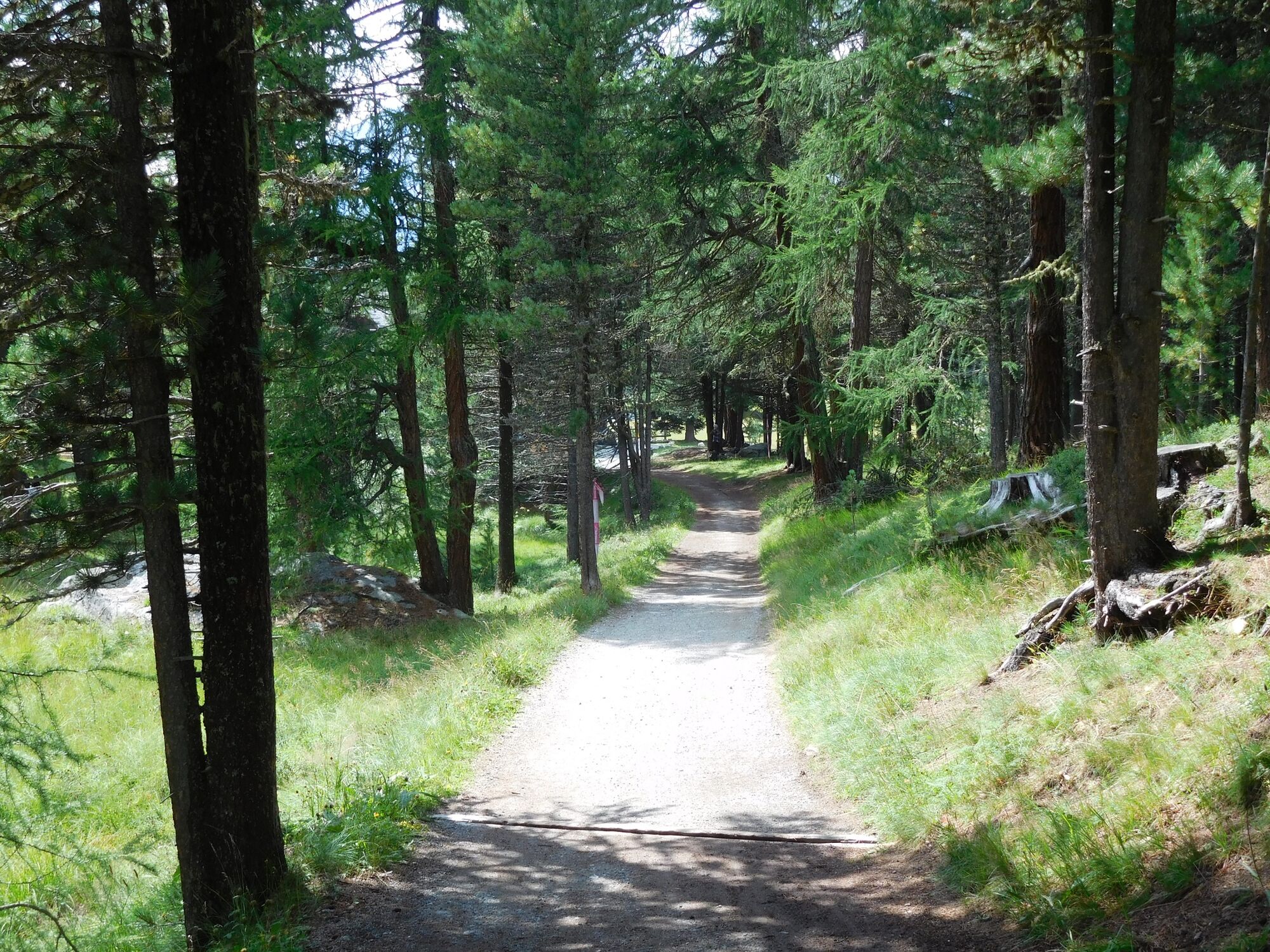
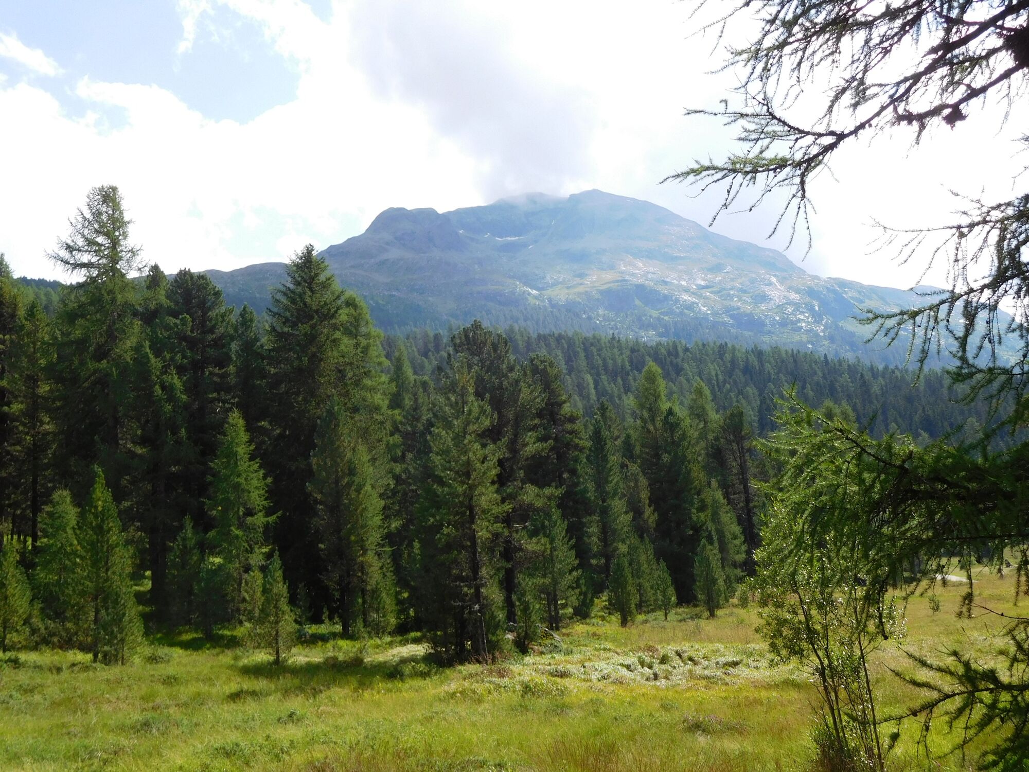
- Wegverlauf
-
Pontresina (1.774 m)Hotel Restaurant Stazersee2,3 kmLandgasthof Meierei3,3 kmSankt Moritz (1.822 m)4,6 km
- Beste Jahreszeit
-
sijveljožutrasvilipsrpkolrujlisstupro
- Höchster Punkt
- 1.837 m
- Zielpunkt
-
Sankt Moritz
- Höhenprofil
-
 © outdooractive.com
-

-
AutorDie Tour STM-HDW - Pontresina - St. Moritz wird von outdooractive.com bereitgestellt.
GPS Downloads


Weitere Touren in den Regionen