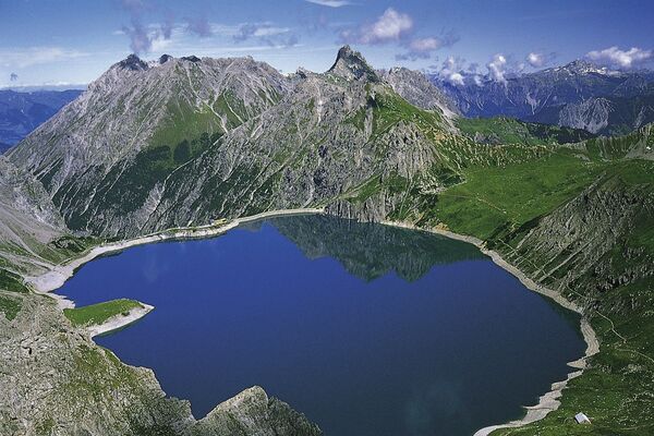
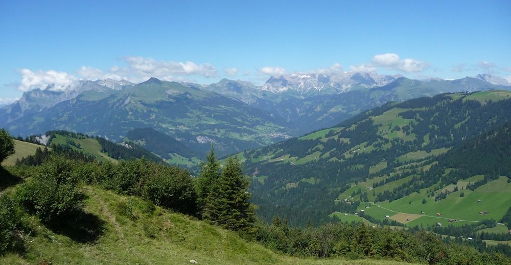
© Heidiland Tourismus - Werner Forrer
© Heidiland Tourismus - Werner Forrer
© Heidiland Tourismus - Werner Forrer

© Heidiland Tourismus - Werner Forrer
© Heidiland Tourismus - Werner Forrer
© Heidiland Tourismus - Werner Forrer
© Heidiland Tourismus - Werner Forrer

- Kratak opis
-
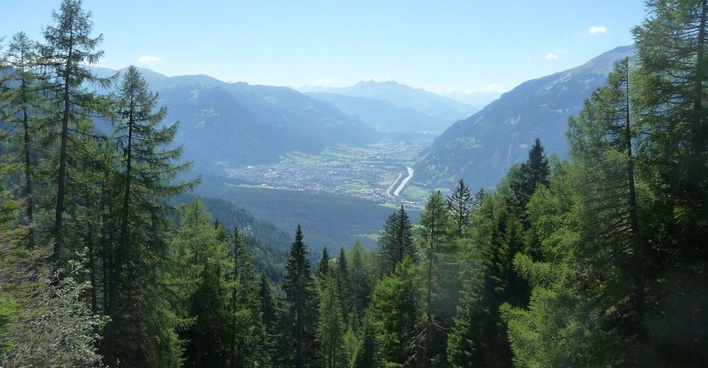
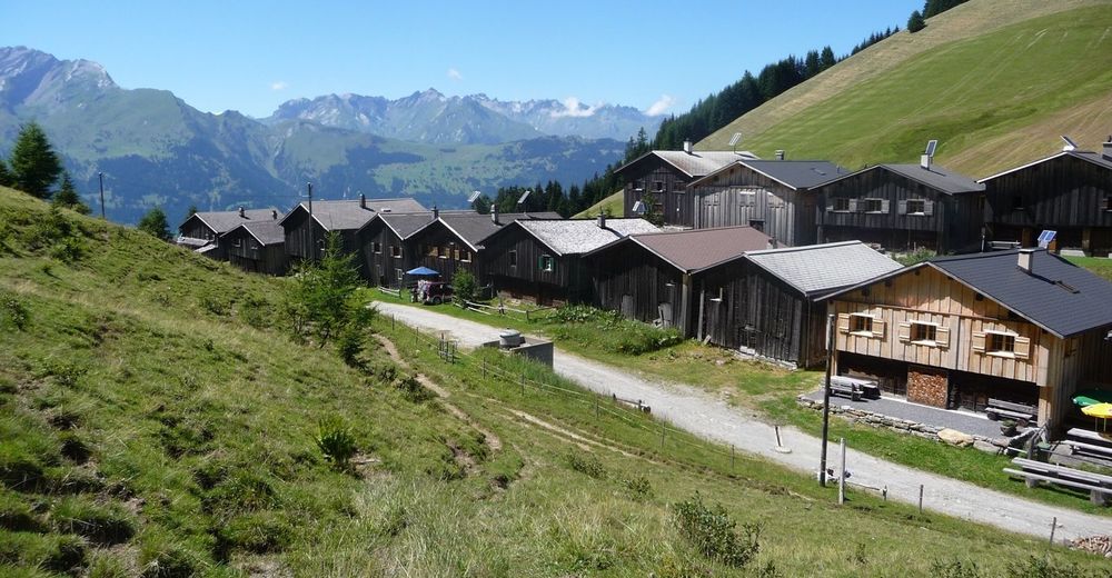
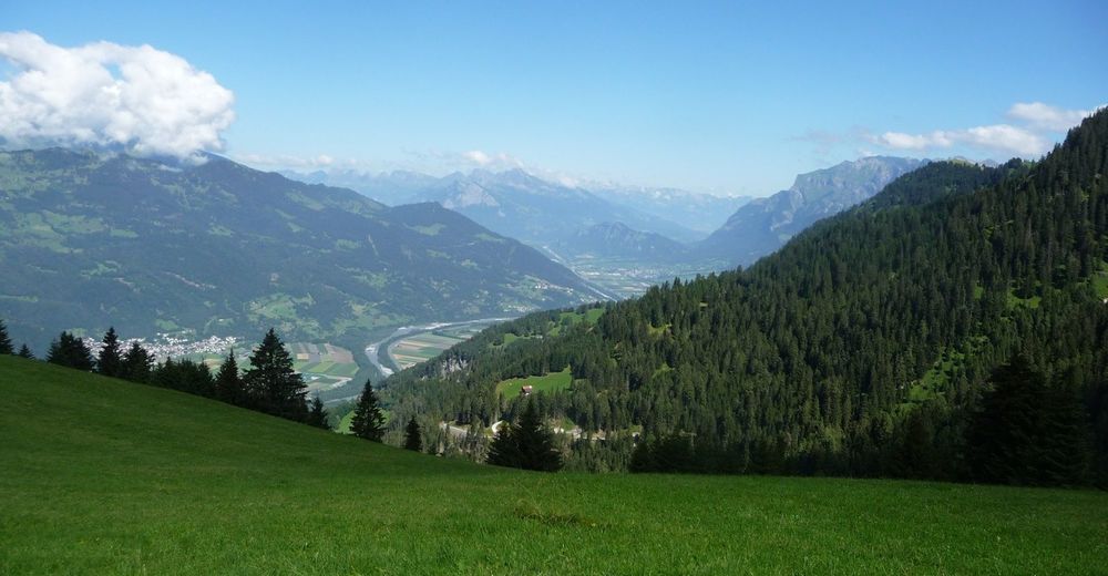
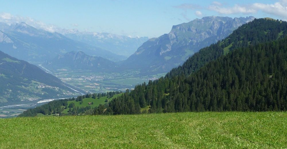
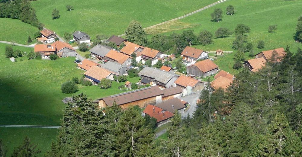
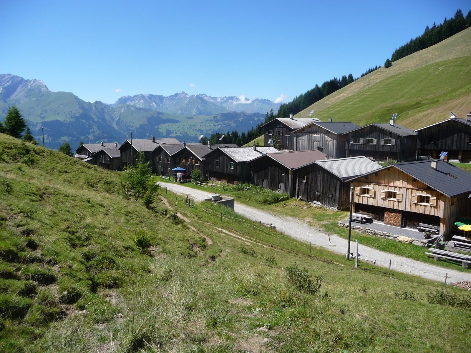
On a green meadow terrace lies the small mountain village Obersays at 1100 meters above sea level. Already here the view to the opposite Calanda massif is magnificent. The higher we climb, the more impressive Chur's local mountain presents itself.
- Teškoća
-
srednje
- Vrednovanje
-
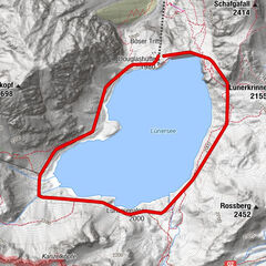
- Wegverlauf
-
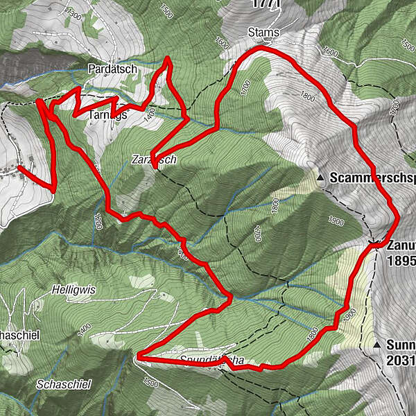
Spundätscha (1.637 m)4,0 kmZanutscher Boden (1.895 m)5,7 kmBergrestaurant Stams7,4 kmStams (1.645 m)7,4 km
- Beste Jahreszeit
-
sijveljožutrasvilipsrpkolrujlisstupro
- Höchster Punkt
- 1.890 m
- Zielpunkt
-
Obersays
- Höhenprofil
-
 © outdooractive.com


- Autor
-
Die Tour Hiking Trail Obersays wird von outdooractive.com bereitgestellt.
GPS Downloads


Opće informacije
Einkehrmöglichkeit
Aussichtsreich