


The Romansh language is one of the hallmarks of the region. An equally entertaining and informative nature trail leads from Foppa via Spaligna to Scheia and Fidaz. The panels are of course in Romansh and...
The Romansh language is one of the hallmarks of the region. An equally entertaining and informative nature trail leads from Foppa via Spaligna to Scheia and Fidaz. The panels are of course in Romansh and German.
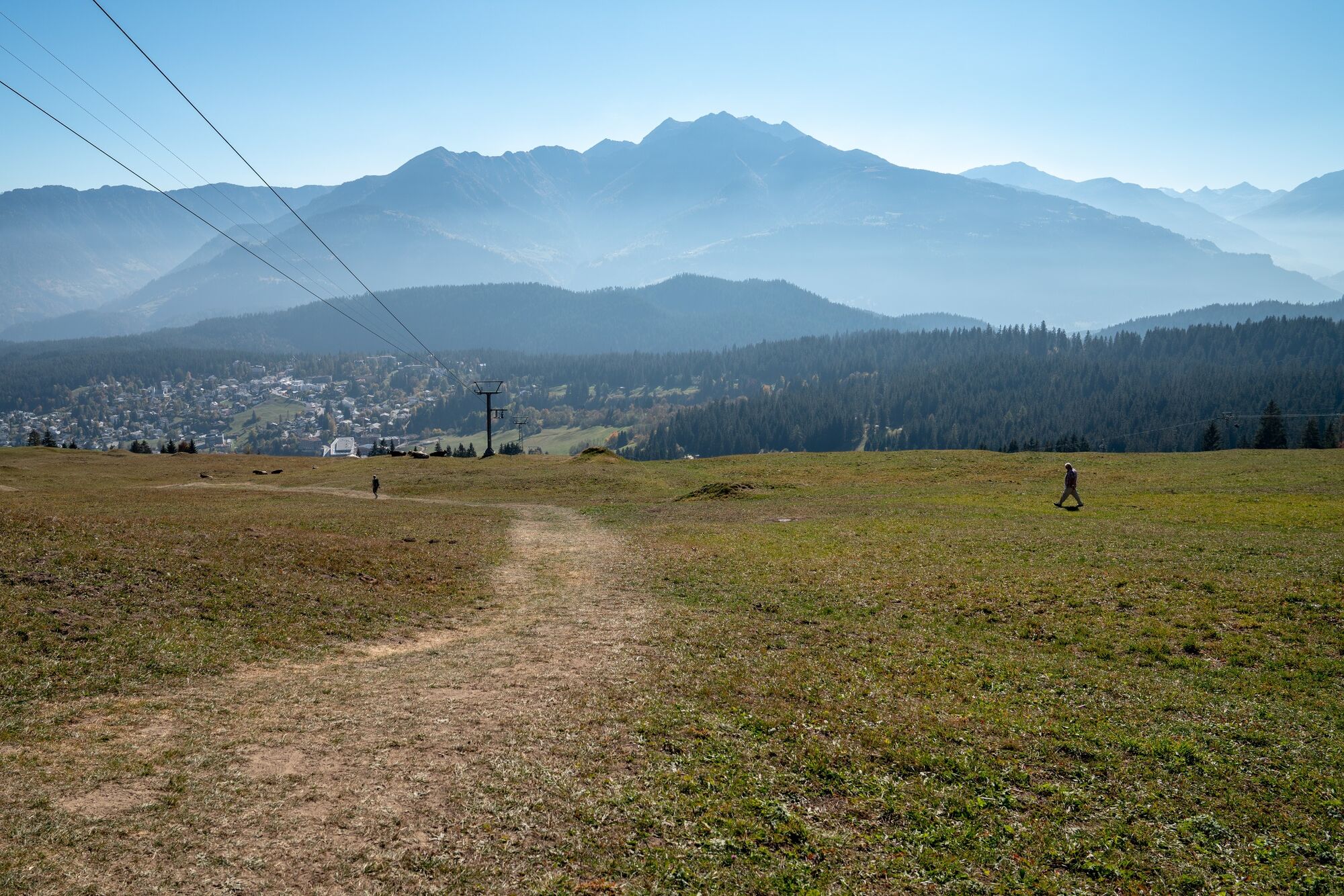
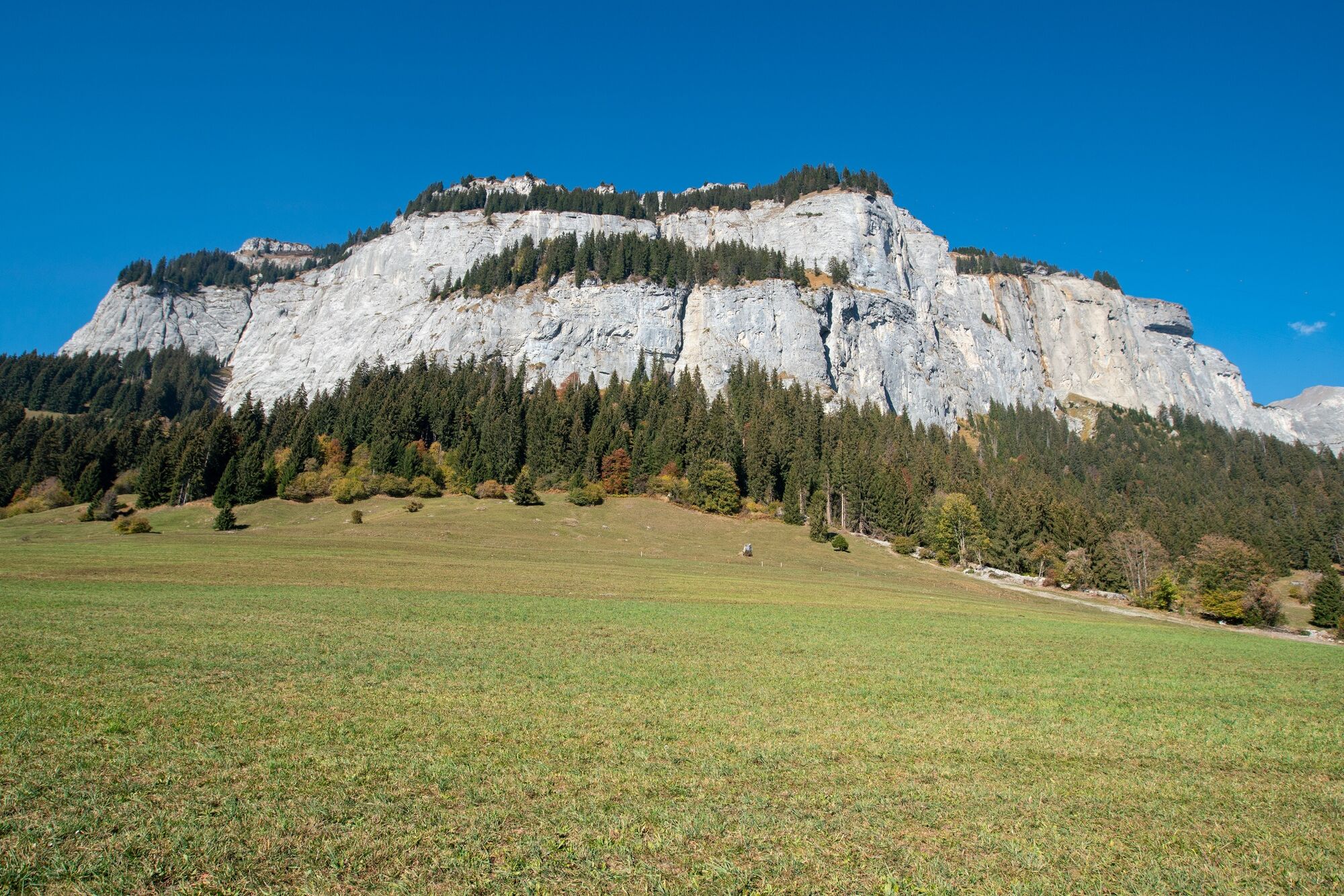
From the Flims valley cabelcar station we walk comfortably to Foppa. Once there, it goes to Spaligna and further along the Höhenweg to Scheia. From there it goes on forest paths to Spaligna and further along the Höhenweg to Scheia. After a short while you reach the Romansh educational trail, which accompanies us to Scheia. We learn interesting facts about the area and its language from various signs. At Spaligna, Prau Palusa and Crap da Sigls, the hike crosses dry meadows of national importance. The Flimserstein and the niche at Alp Nagens are the origin of the great Flims landslide. The trailing edge was defined as the boundary line to the UNESCO World Heritage Tectonic Arena Sardona. In Scheia there is the possibility to shop at various organic farmers. Then it's on to Fidaz, past the restaurant and down to Flims.


Flims Cabelcar - Foppa - Scheia - Fidaz - Flims
Yes
Yes
Good mountain boots and rain protection strongly recommended.
The Hiking Routes in Graubünden both welcomes hikers and bikers the same for the most parts. To be tollerant is key. We got a word for that: Fairtrail.
By car Motorway A13 from Zurich, exit 18 Flims.
Stop: Flims Bergbahnen
By the post bus from Chur
Chargable parking spaces in parking garage Flims Bergbahnen.
Gästeinformation Flims Laax Falera
Via Nova 62
CH-7017 Flims
Tel: +41 (0)81 920 92 00
E-Mail: info@flimslaax.com
Internet: www.flimslaax.com
Popular tours in the neighbourhood
-
4,5
4-lake hike
mediumPješačenje 12,8 km -
4,7
The riverside trail: Trutg dil Flem
mediumTematska staza 13,5 km -
4,3
Via Ferrata Pinut
mediumVia ferrata 5,82 km -
4,7
Rhine Gorge Hike: Senda Ruinaulta (659)
lightPješačenje 9,39 km -
Piz Fess 2880m, der Stolze
heavyPješačenje 12,8 km -
4,8
Rheinschlucht: From Ilanz to Versam into the heart of the Rheinschlucht
mediumPješačenje 11,4 km -
4,3
Round trip hike Falera - Curnius - Alp Dadens - Falera
mediumPješačenje 11,4 km -
5,0
Staderas - Conn - Rhein Gorge Ruinaulta-Staderas
mediumPješačenje 19,8 km -
5,0
Rhine Gorge Circular Hike
mediumPješačenje 11,4 km -
Rhine Gorge/Ruinaulta: Ilanz - Reichenau
mediumPješačenje 21,2 km
bergfex Tours


Ne propustite ponude i inspiraciju za vaš sljedeći odmor
Your e-mail address has been added to the mailing list.