© Corvatsch AG - Romano Salis

© Corvatsch AG - Steve Hadorn

© Corvatsch AG - Romano Salis

© Corvatsch AG - Romano Salis

© Corvatsch AG - Steve Hadorn

© Corvatsch AG - Steve Hadorn

- Kratak opis
-
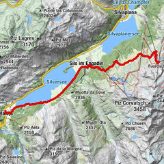
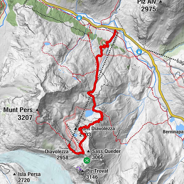
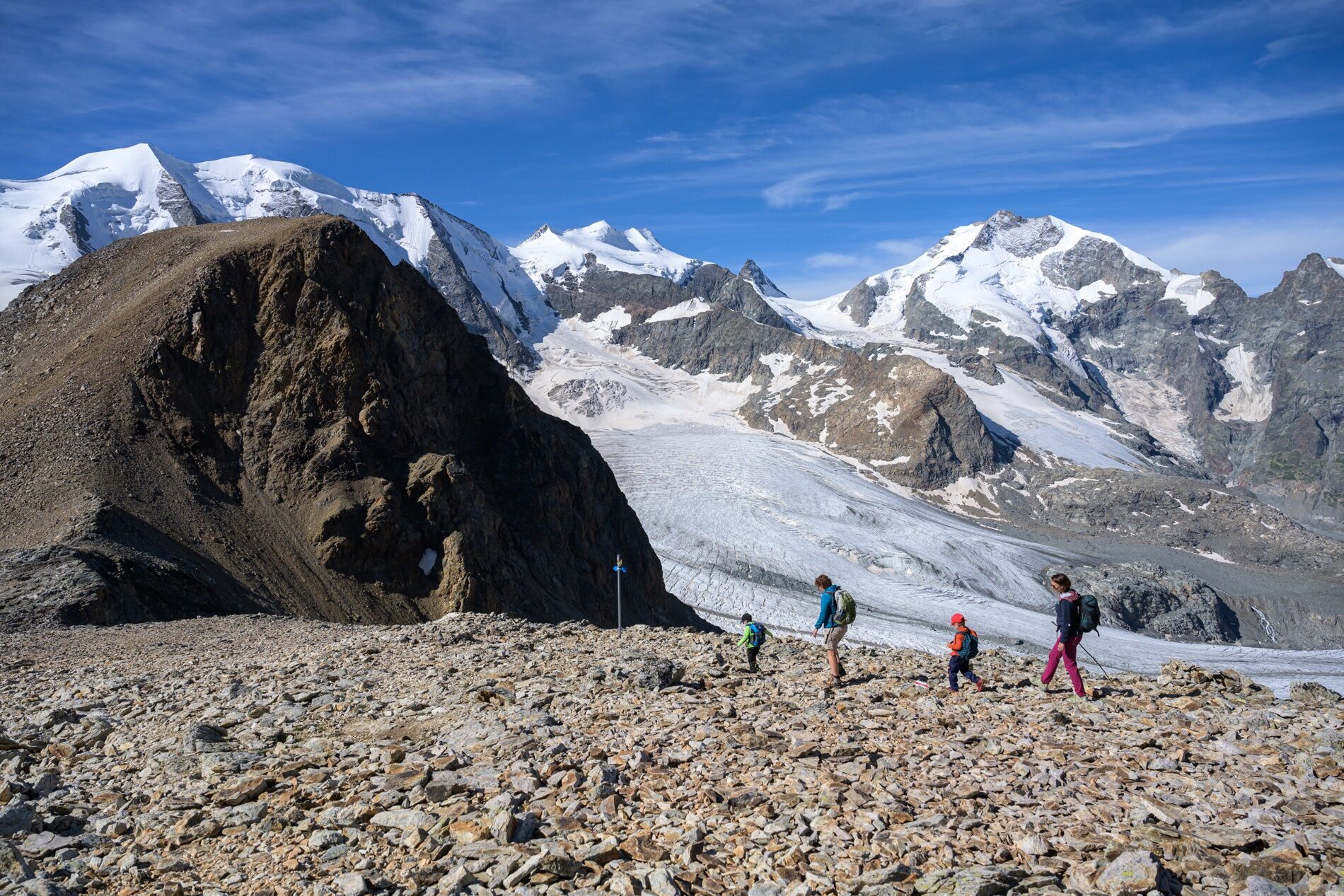
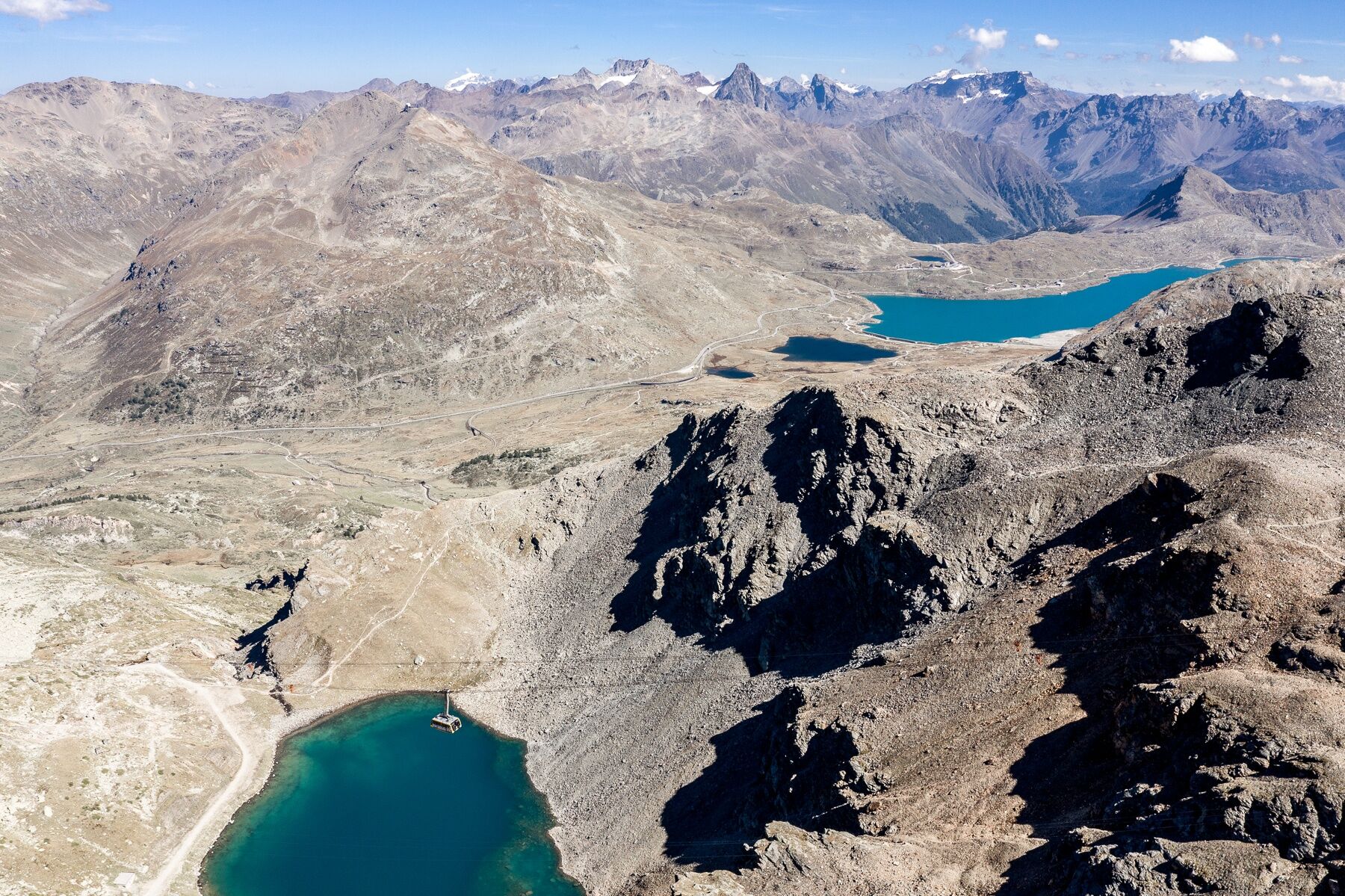
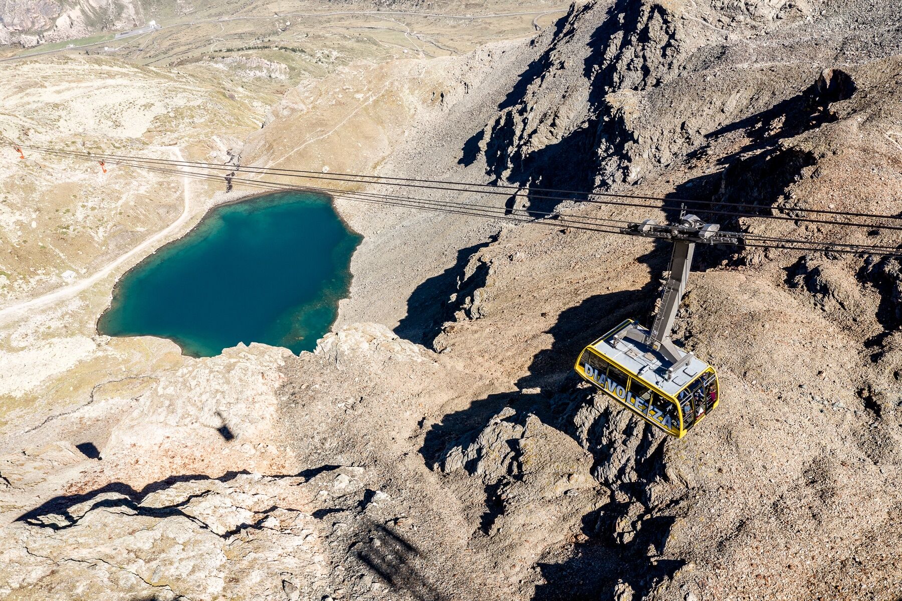
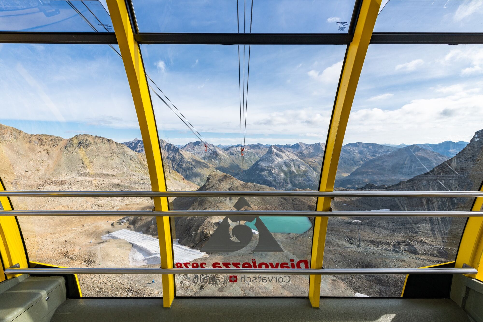
From the Diavolezza mountain station, past the Lej da Diavolezza, down to the Diavolezza valley station.
- Teškoća
-
srednje
- Vrednovanje
-
- Wegverlauf
-
Diavolezza (2.958 m)0,2 kmDiavolezzafirn (Bergstation)0,6 km
- Beste Jahreszeit
-
sijveljožutrasvilipsrpkolrujlisstupro
- Höchster Punkt
- 2.997 m
- Zielpunkt
-
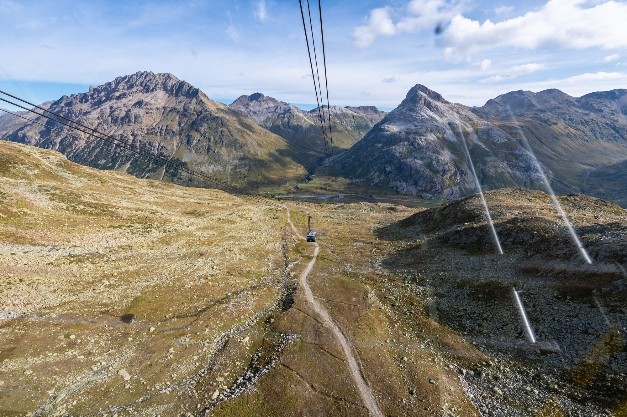
Diavolezza bottom station
- Höhenprofil
-
 © outdooractive.com
- Autor
-
Die Tour Diavolezza - Lej da Diavolezza wird von outdooractive.com bereitgestellt.
GPS Downloads


Opće informacije
Aussichtsreich
Weitere Touren in den Regionen
-
Veltlin / Valtellina
851
-
Puschlav / Valposchiavo
639
-
Diavolezza
278