© Engadin Tourismus AG - Babuschkina/Miri Roth Photography

© Engadin Tourismus AG - Babuschkina/Miri Roth Photography

© Engadin Tourismus AG - Babuschkina/Miri Roth Photography


- Kratak opis
-
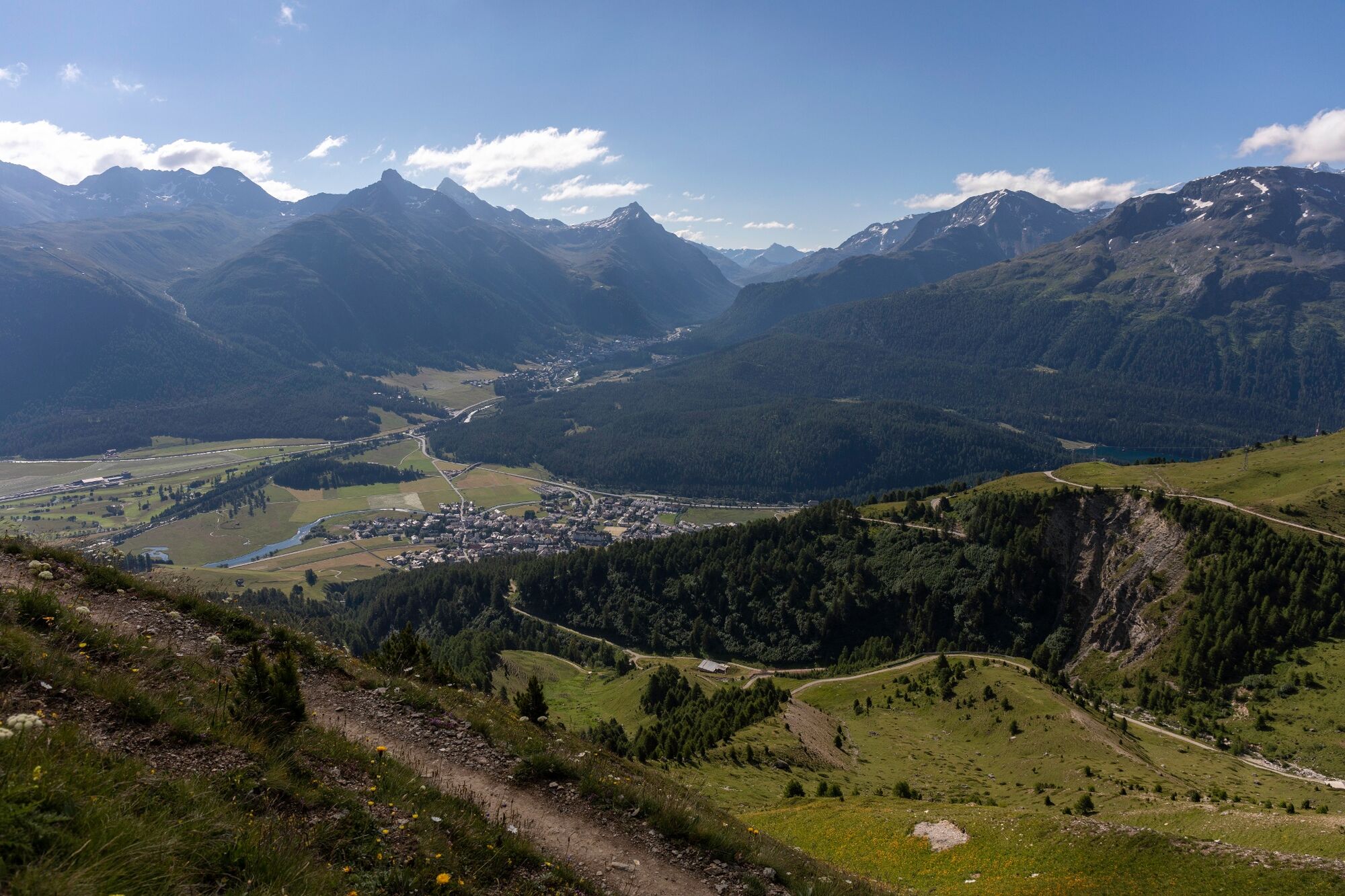
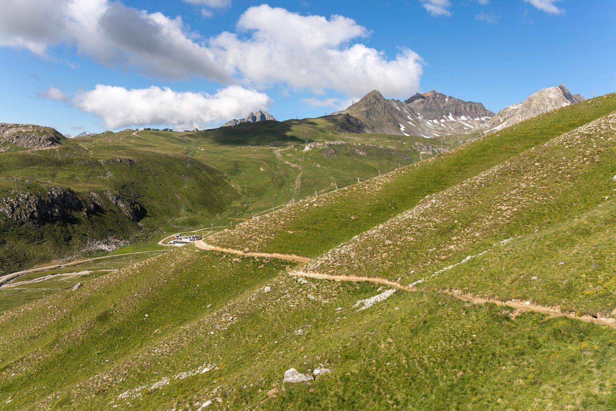
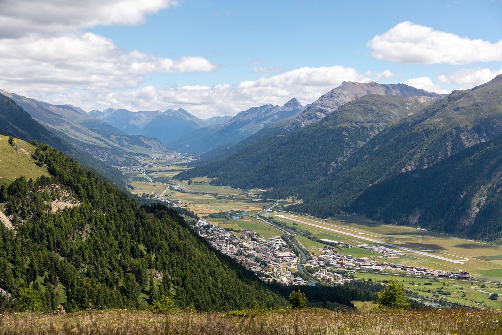
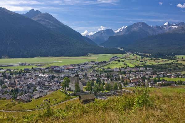
Fantastic view along the high-altitude trail from Marguns to Alp Muntatsch
- Teškoća
-
lagano
- Vrednovanje
-
- Wegverlauf
-
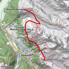
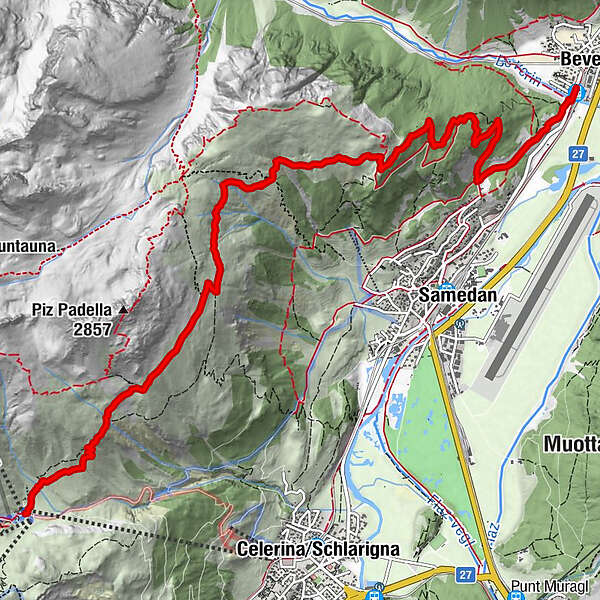
MargunsAlp Muntatsch (2.186 m)5,8 kmDa Primo9,7 kmBever (1.714 m)9,8 km
- Beste Jahreszeit
-
sijveljožutrasvilipsrpkolrujlisstupro
- Höchster Punkt
- 2.487 m
- Zielpunkt
-
Bever
- Höhenprofil
-
 © outdooractive.com
- Autor
-
Die Tour 87 Via Engiadina: stage 3 Celerina (Marguns)-Bever wird von outdooractive.com bereitgestellt.
GPS Downloads


Opće informacije
Einkehrmöglichkeit
Flora
Aussichtsreich
Weitere Touren in den Regionen
-
Engadin St. Moritz
782
-
Samedan
286