


© Outdooractive – 3D Videos

- Kratak opis
-
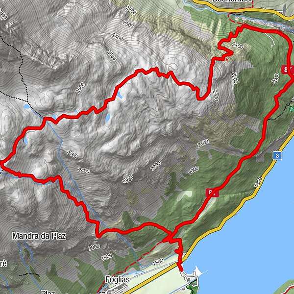
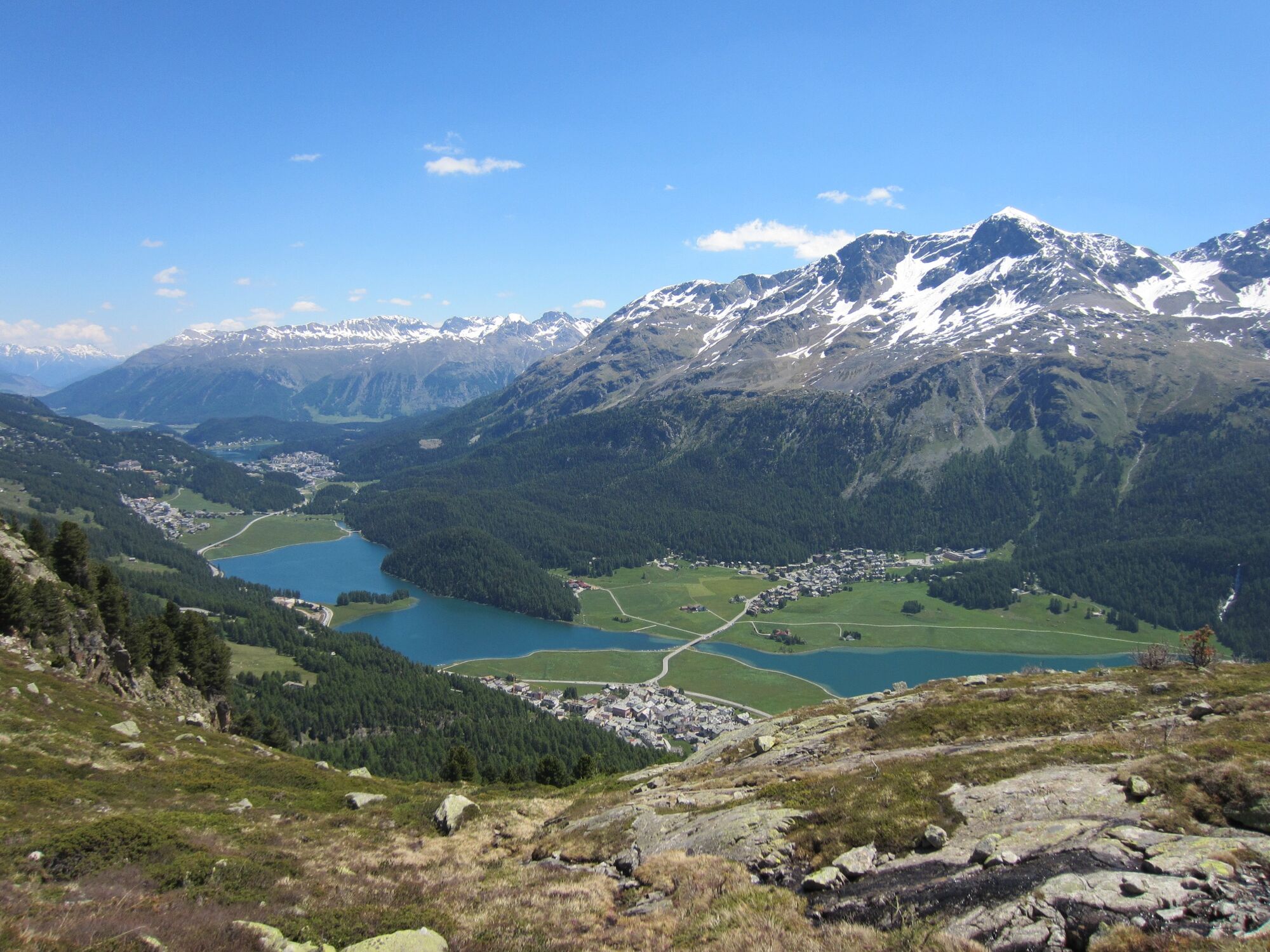
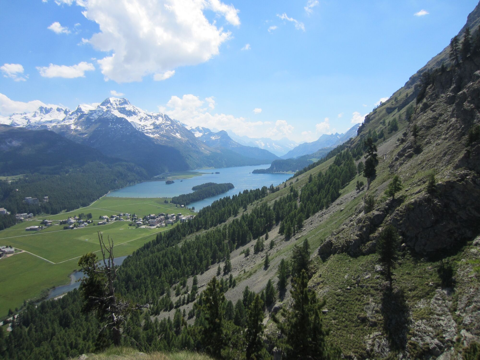
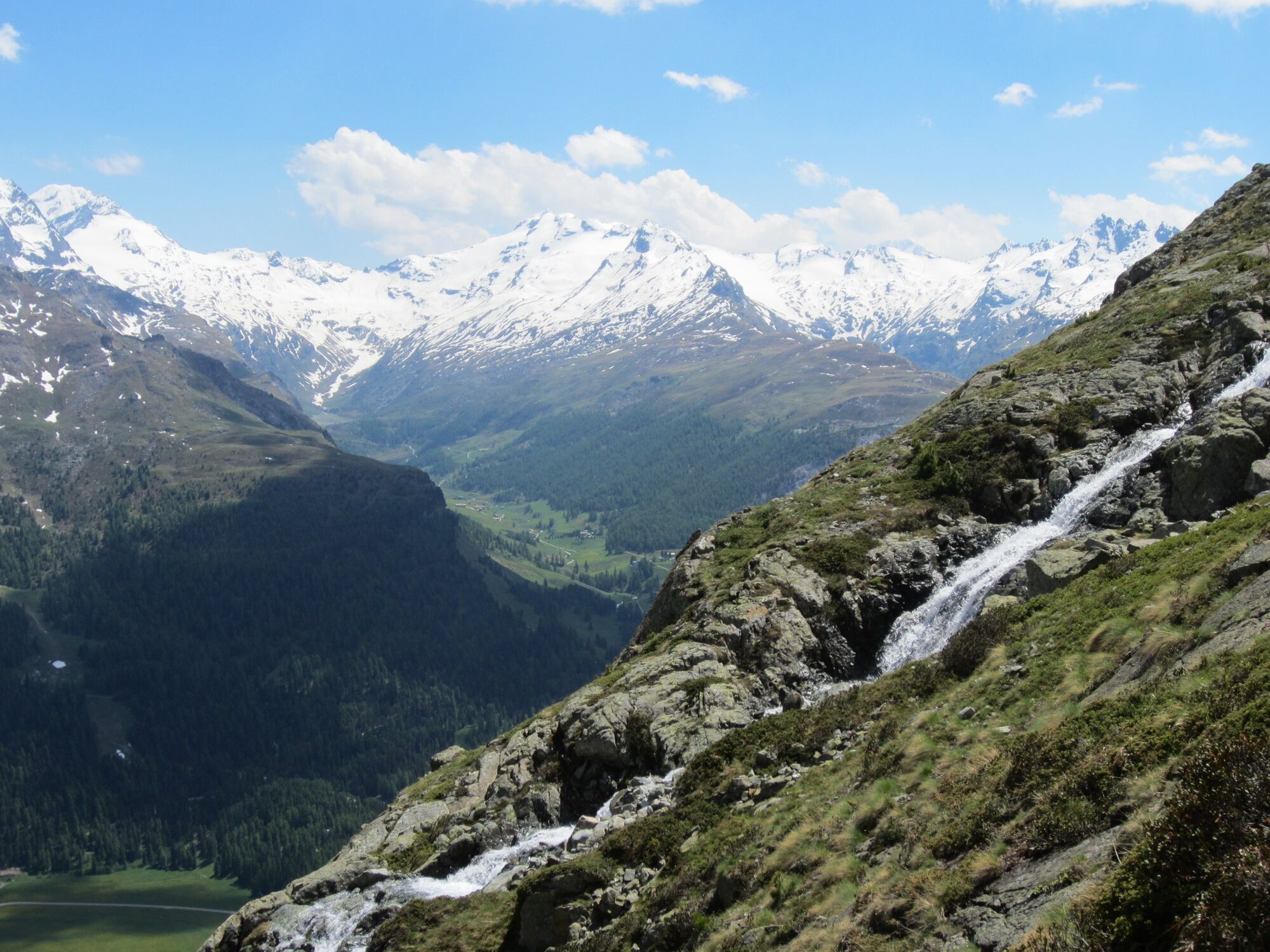
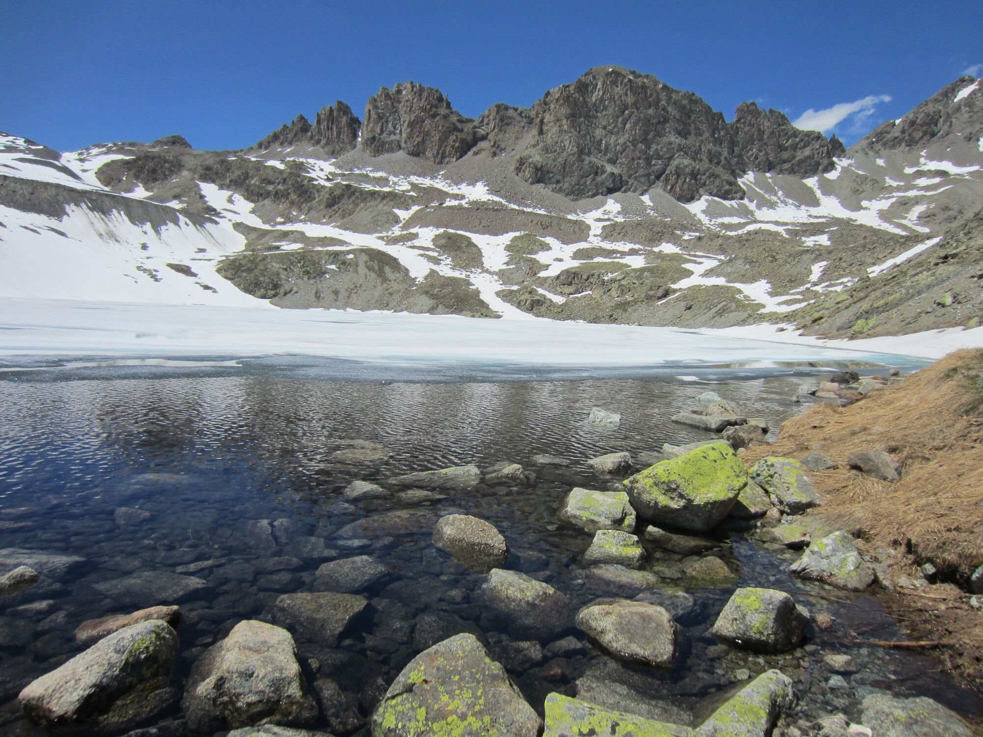
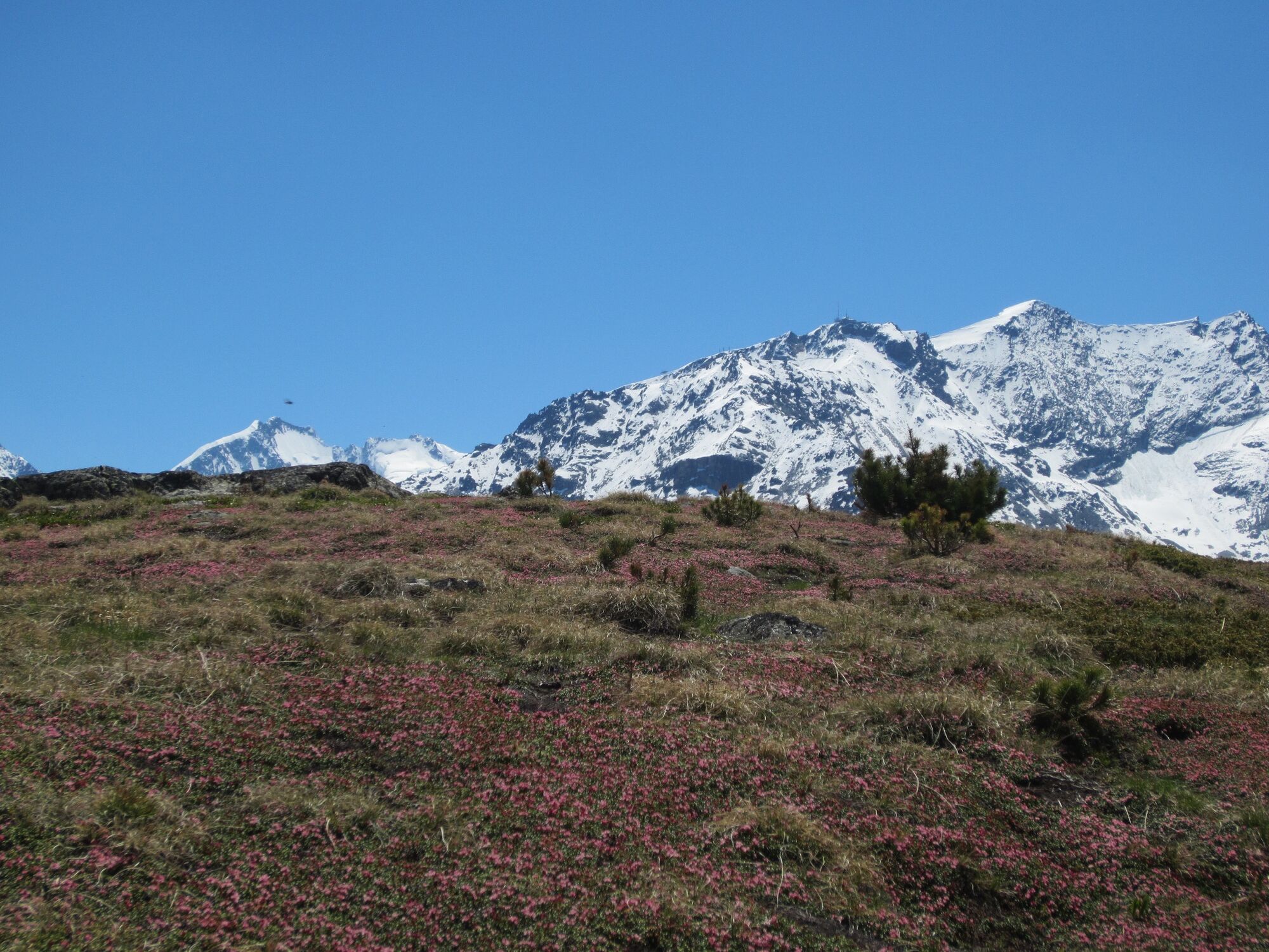
A scenic hike high above the Silvaplaner lake with a steep ascent to a hidden jewel, the enchanting mountain lake Lej da la Tscheppa.
- Teškoća
-
srednje
- Vrednovanje
-
- Beste Jahreszeit
-
sijveljožutrasvilipsrpkolrujlisstupro
- Höchster Punkt
- 2.622 m
- Zielpunkt
-
Sils Maria
- Höhenprofil
-
 © outdooractive.com
- Autor
-
Die Tour Sils - Lej da la Tscheppa - Sils wird von outdooractive.com bereitgestellt.
GPS Downloads


Opće informacije
Einkehrmöglichkeit
Kulturell/Historisch
Aussichtsreich
Weitere Touren in den Regionen
-
Veltlin / Valtellina
852
-
Engadin St. Moritz
782
-
Silvaplana
338


