- Kratak opis
-
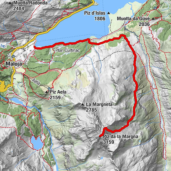
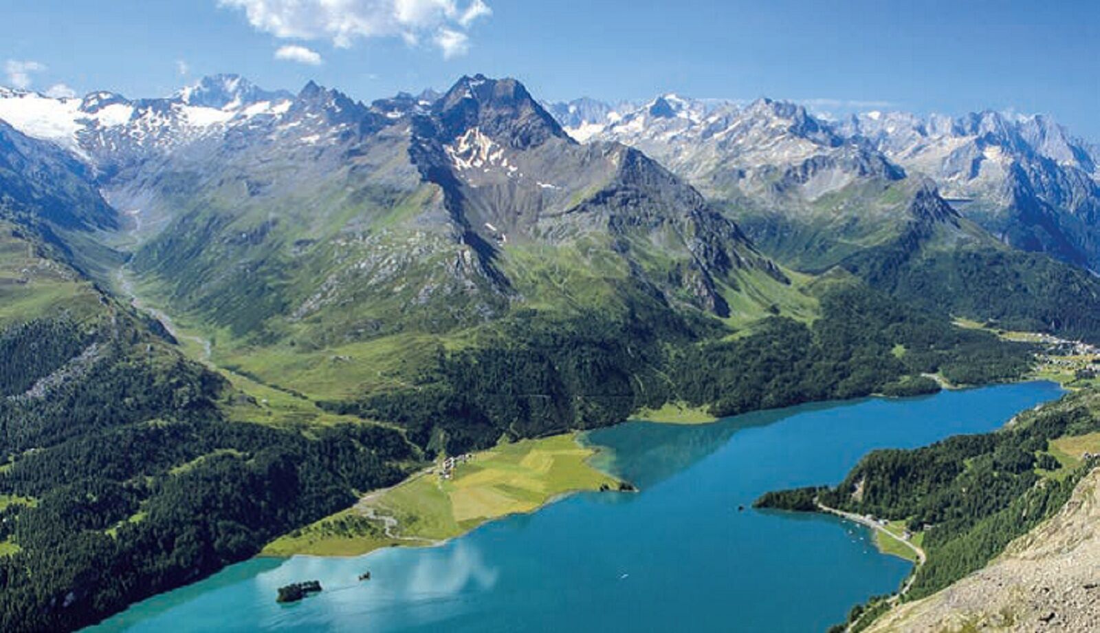
The Piz da la Margna lies above Lake Sils. It is a massive and demanding mountain from whose summit you have a magnificent panoramic view of the Engadine lakes.
- Teškoća
-
teška
- Vrednovanje
-
- Wegverlauf
-
Cresta0,0 kmPlan Cuncheta0,5 kmCa d'Starnam3,8 kmPiz da la Margna (3.159 m)7,7 kmCa d'Starnam11,7 kmPlan Cuncheta14,9 kmCresta15,4 km
- Beste Jahreszeit
-
sijveljožutrasvilipsrpkolrujlisstupro
- Höchster Punkt
- 3.146 m
- Zielpunkt
-
Maloja
- Höhenprofil
-
 © outdooractive.com
- Autor
-
Die Tour Piz Margna wird von outdooractive.com bereitgestellt.
GPS Downloads


Opće informacije
Geheimtipp
Aussichtsreich
Weitere Touren in den Regionen
-
Veltlin / Valtellina
852
-
Engadin St. Moritz
782
-
Isola
282