


© Destination Davos Klosters - Patrick Cavelti

© Destination Davos Klosters - Patrick Cavelti

- Kratak opis
-
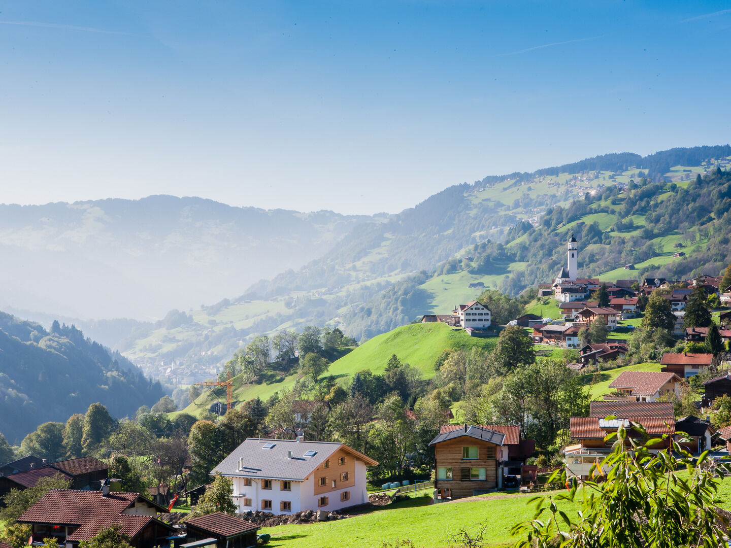
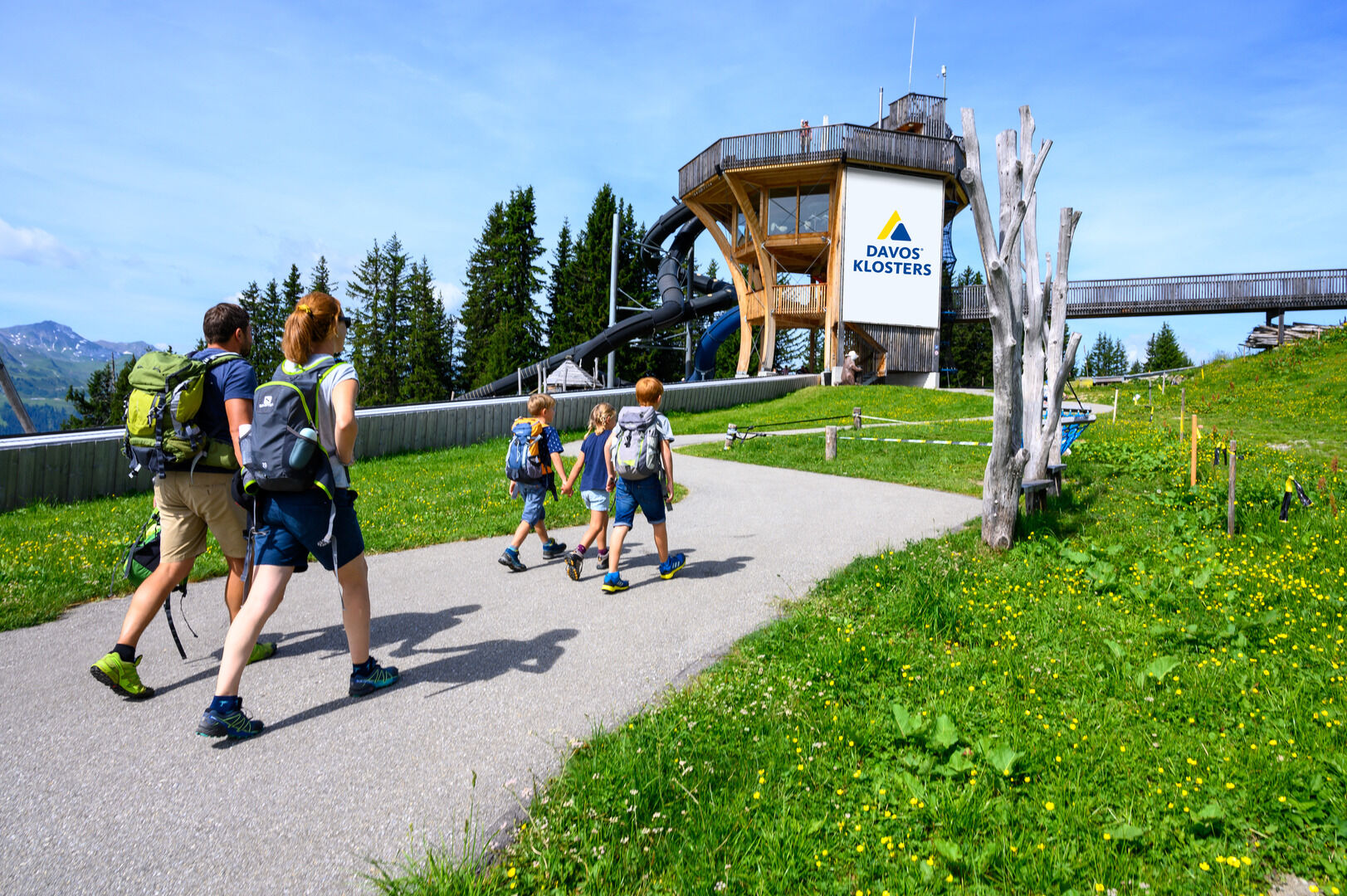
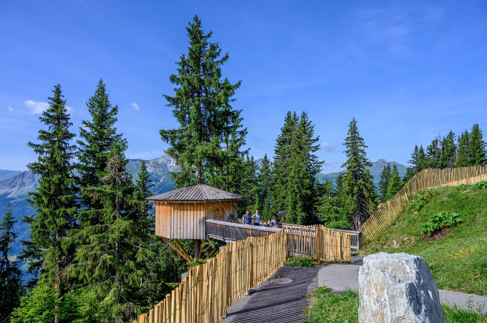
Beautiful family hike from the Madrisa mountain station to Saas. The hike can also be experienced with an all-terrain pushchair.
- Teškoća
-
lagano
- Vrednovanje
-
- Wegverlauf
-
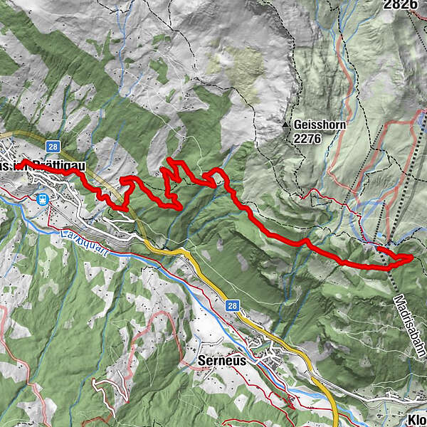
Bergrestaurant Madrisa-AlpStn. Madrisa (1.884 m)0,0 kmSaas im Prättigau (988 m)8,6 kmGasthaus zum Rathaus8,9 km
- Beste Jahreszeit
-
sijveljožutrasvilipsrpkolrujlisstupro
- Höchster Punkt
- 1.882 m
- Zielpunkt
-
Saas
- Höhenprofil
-
 © outdooractive.com
-

-
AutorDie Tour Madrisa - Saas wird von outdooractive.com bereitgestellt.
GPS Downloads


Opće informacije
Einkehrmöglichkeit
Heilklima
Kulturell/Historisch
Aussichtsreich
Weitere Touren in den Regionen
-
Davos Klosters
927
-
Saas im Prättigau
219


