


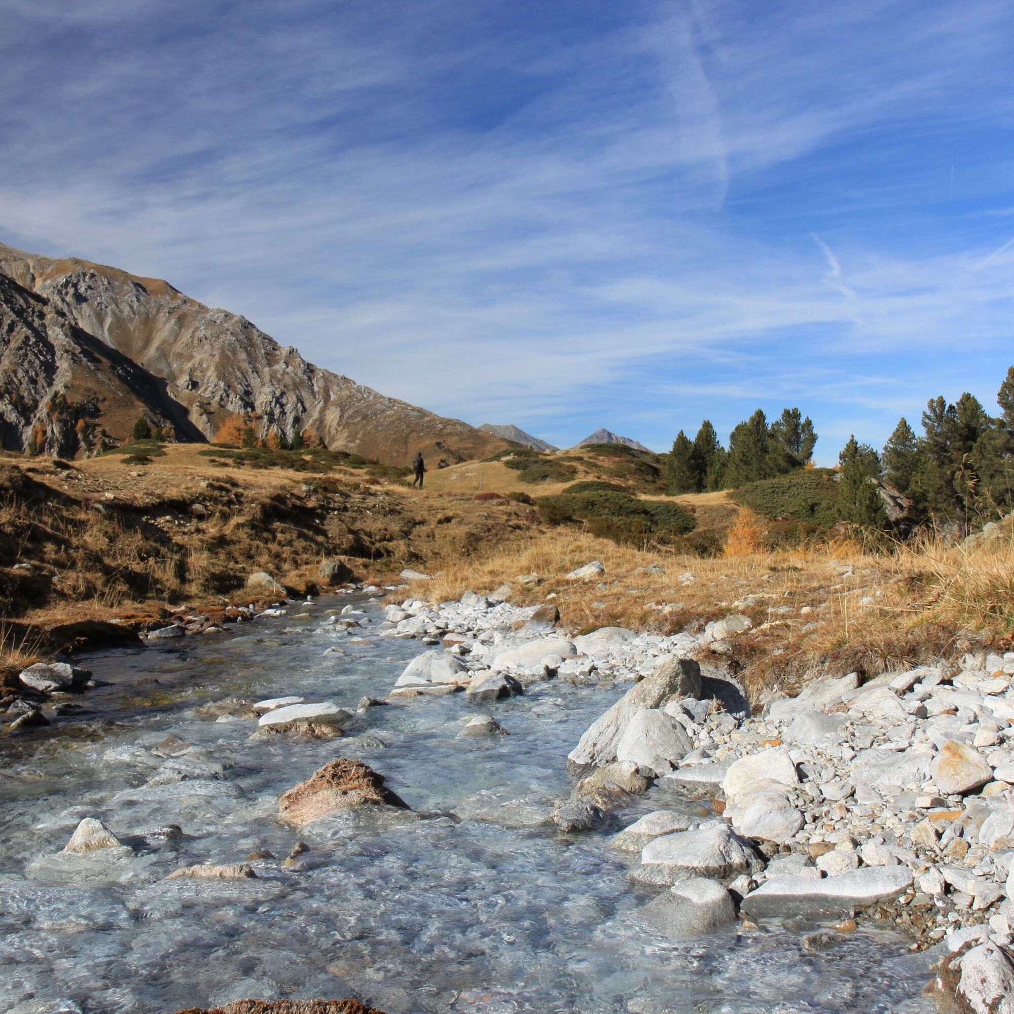
This high-altitude hike is only for experienced hikers and requires a head for heights. From Plattatschas on the Umbrail Pass road, the hike leads via Chalderas, Sassa Marcha, Alp Sielva to Müstair. The...
This high-altitude hike is only for experienced hikers and requires a head for heights. From Plattatschas on the Umbrail Pass road, the hike leads via Chalderas, Sassa Marcha, Alp Sielva to Müstair. The hike is only recommended in good weather conditions.

Good shoes, rain and sun protection, water bottle, first-aid kit.
The tour was assessed in favourable weather conditions, the current weather conditions and weather forecasts must be taken into account before starting the tour.
Slippery areas at Sassa Marscha and Belvair/Runcs.
Emergency call:
144 Emergency call, first aid
1414 Mountain rescue REGA
112 International emergency call
From the north: via Landquart - Klosters by car transport through the Vereina Tunnel (Selfranga - Sagliains) or over the Flüela Pass to Zernez on the H27. From Zernez on the H28 towards Val Müstair as far as Sta. Maria. In Sta. Maria turn right towards Umbrailpass.
From the east: via Reschenpass (Nauders) on the SS40 to Mals. From Mals on the SS41 to the Swiss border to Müstair. From Müstair take the H28 towards Zernez as far as Sta. Maria. In Sta. Maria turn left towards Umbrailpass.
From the south: Via Bolzano and Merano on the SS40 to Malles/Mals. From Mals on the SS41 to the Swiss border in Müstair. From Müstair on the H28 to Sta. Maria. In Sta. Maria turn left towards Umbrailpass.
With the Rhaetian Railway (from Chur, Landquart/Prättigau, from the Upper or Lower Engadine) hourly to Zernez Continue by PostBus from Zernez or from Val Müstair and Mals hourly to Sta. Maria. From Sta. Maria PostBus connection to Plattaschas only by booking online at https://www.postauto.ch/de/ausflugstipps/stelvio-linie
Limited car parking. We recommend travelling to the starting point by public transport
Popular tours in the neighbourhood
-
5,0
Mountain restaurant Plantaptasch (without Lift)
mediumPješačenje 3,42 km -
Wanderung/Aufstieg zur Payerhütte
lightPješačenje 15,9 km -
3,7
Düsseldorfer Hütte 2721m
mediumPješačenje 4,14 km -
4,5
Rundwanderweg Wattles und Sesvenna
lightPješačenje 16,4 km -
5,0
Ortler über Hintergrat
heavyPuna brzina 8,03 km -
Ortler über Meraner Weg (vom Tal/Trafoi)
heavyPuna brzina 11,9 km -
5,0
Goldtoni - Wandern - Ortler
heavyPuna brzina 22,6 km -
3,0
Wanderung zum Hinteren Schöneck
lightPješačenje 13,2 km -
3,3
Watervallen wandeling
lightPješačenje 4,95 km -
5,0
Furkelhütte
mediumPješačenje 5,49 km
bergfex Tours


Ne propustite ponude i inspiraciju za vaš sljedeći odmor
Your e-mail address has been added to the mailing list.