


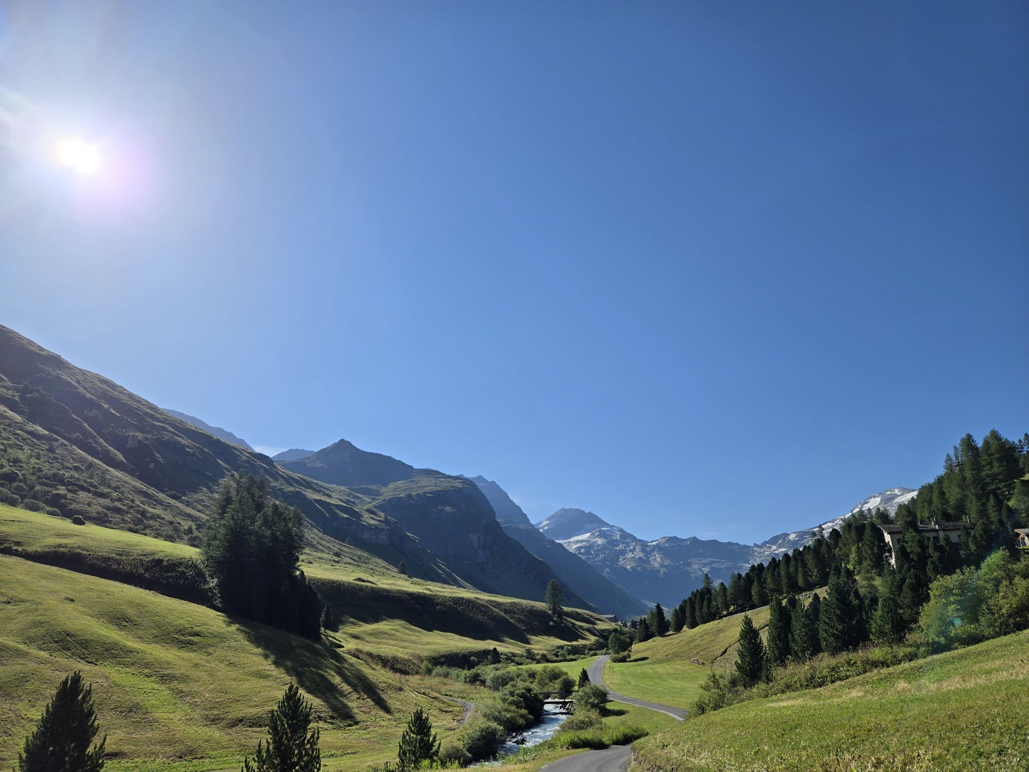
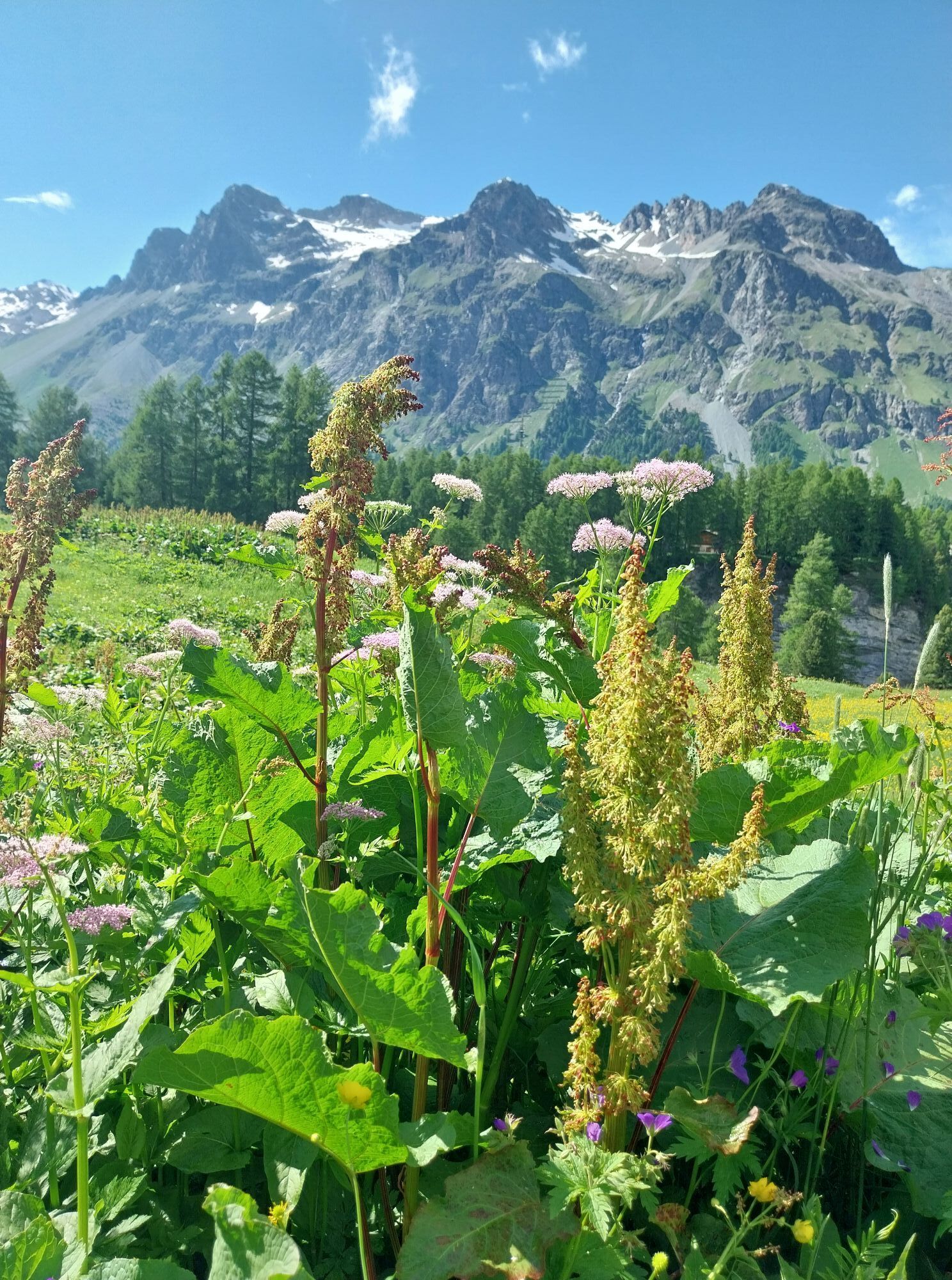
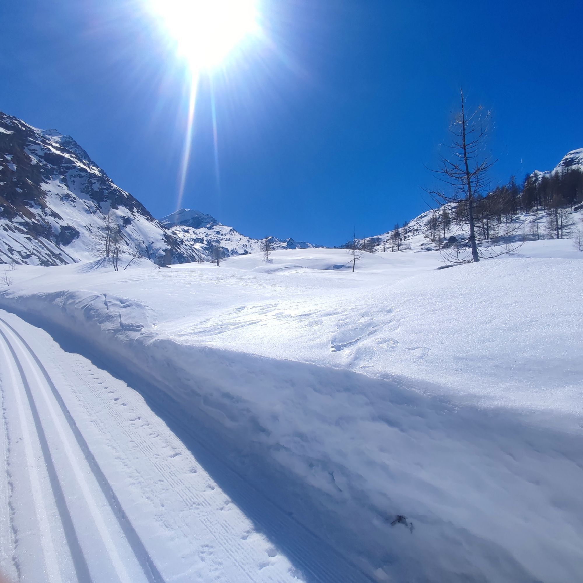
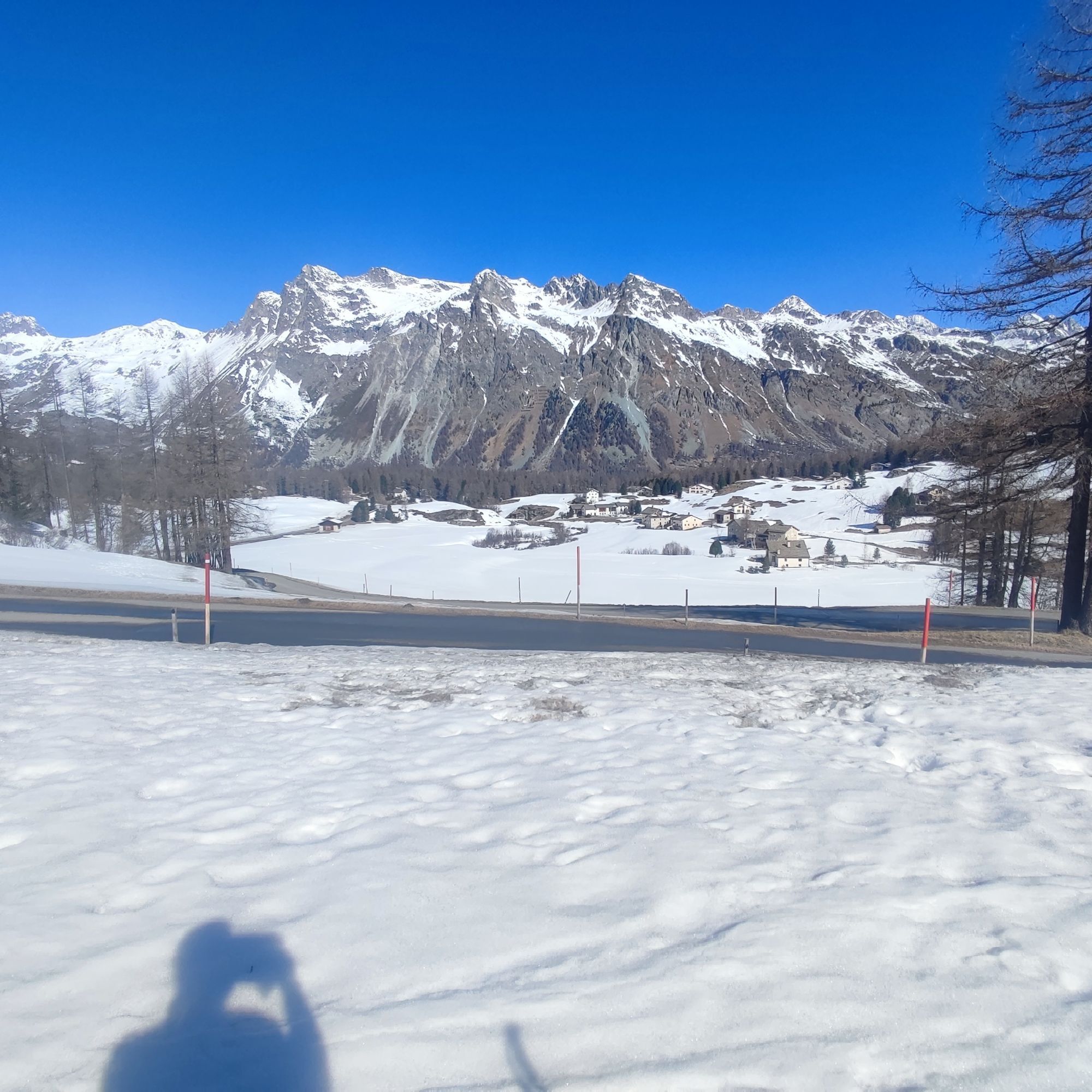
Photos from our users
-
 © Francesca SemeraroCreated on 15.08.2025
 -
 © Francesca SemeraroCreated on 15.08.2025
 -
 © Francesca SemeraroCreated on 15.08.2025
 -
 © Francesca SemeraroCreated on 15.08.2025
 -
 © Francesca SemeraroCreated on 15.08.2025
 -
 © Francesca SemeraroCreated on 15.08.2025
 -
 © Francesca SemeraroCreated on 15.08.2025
 -
 © Francesca SemeraroCreated on 15.08.2025
 -
 © Harry Kooijman 1Created on 27.06.2024
 -
 © Annalena DietrichCreated on 24.07.2022
 -
 © Annalena DietrichCreated on 24.07.2022
 -
 © Annalena DietrichCreated on 24.07.2022
 -
 © Annalena DietrichCreated on 24.07.2022
 -
 © Annalena DietrichCreated on 24.07.2022
 -

 © Zucchi AlessandroCreated on 05.04.2025
 -
 © Zucchi AlessandroCreated on 05.04.2025
 -
 © Zucchi AlessandroCreated on 05.04.2025


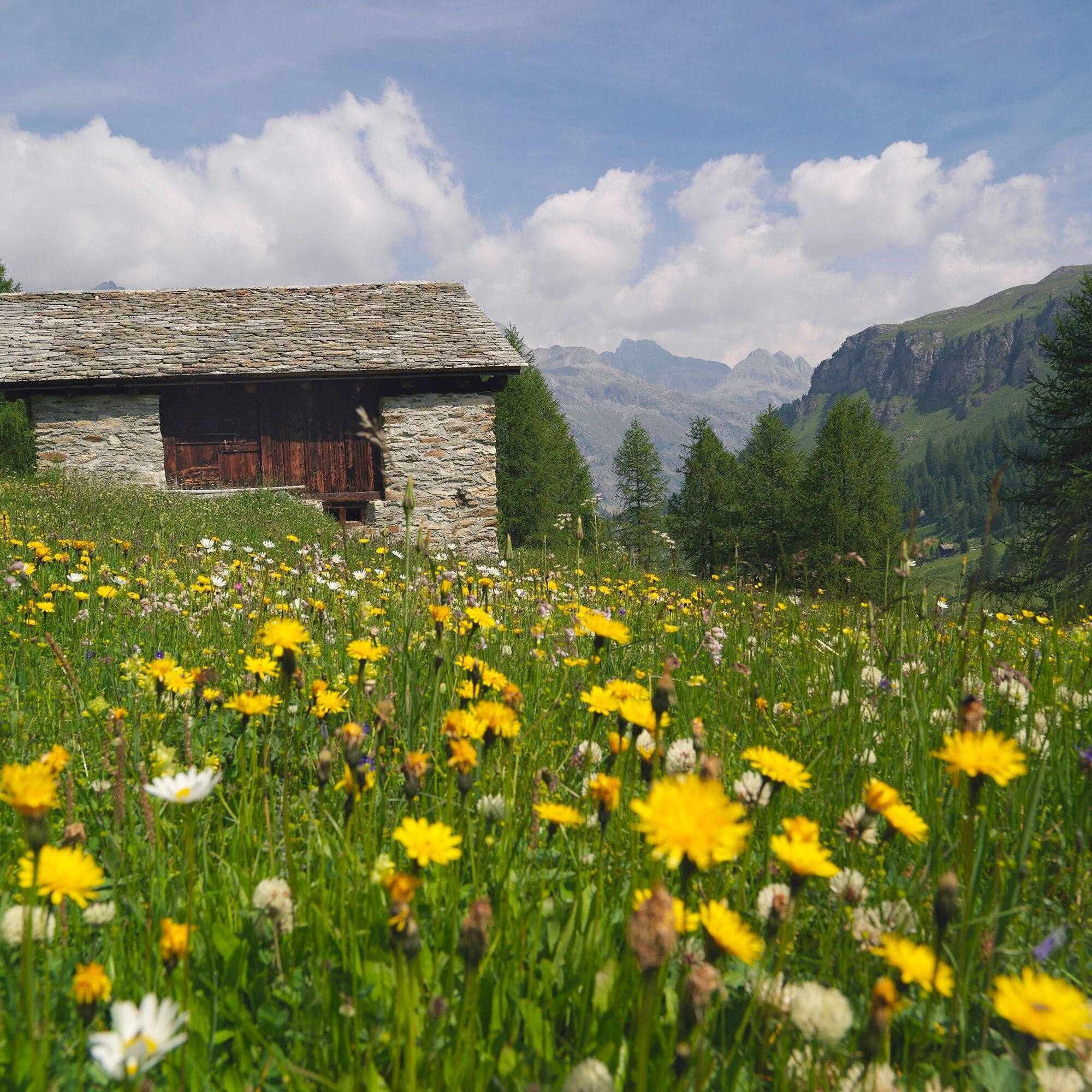
From the Nietzsche House (1809m) in Sils Maria, the power place of Upper Engadin, the path leads on a zigzag course through meadows and forests to the viewpoint Marmoré (2202m). The ascent is rewarded...
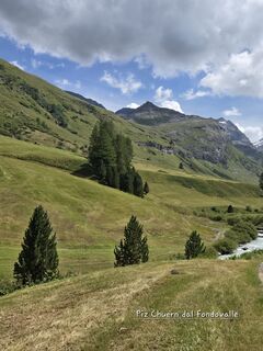
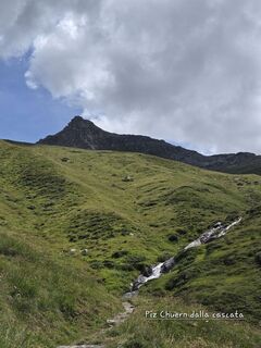
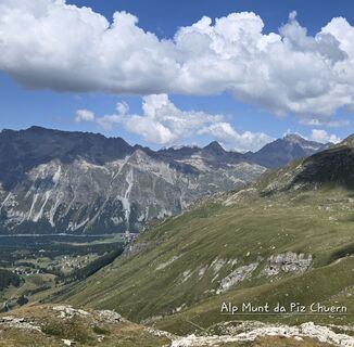
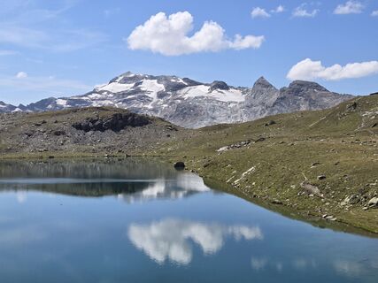
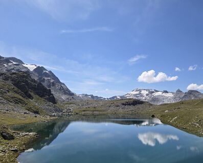
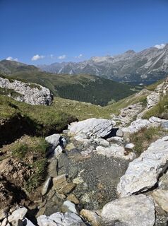
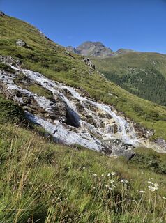
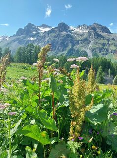
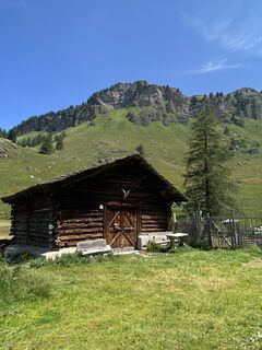
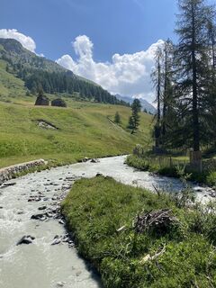
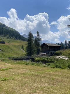
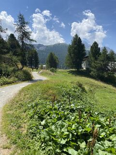
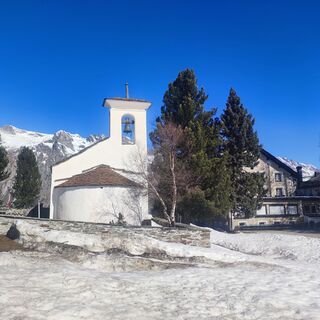
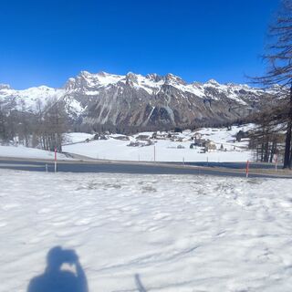
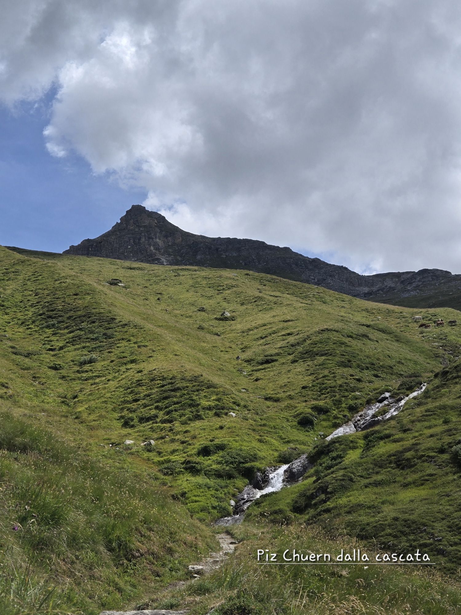
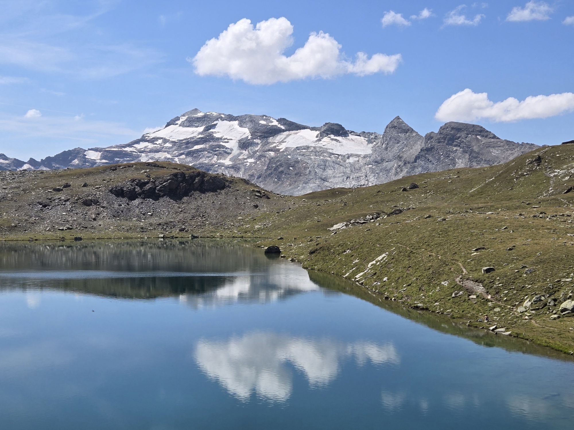
From the Nietzsche House (1809m) in Sils Maria, the power place of Upper Engadin, the path leads on a zigzag course through meadows and forests to the viewpoint Marmoré (2202m). The ascent is rewarded with a magnificent view of the Engadin lakes, the dreamy Fex Valley and its impressive glaciers. Following the upper hiking trail to Alp Munt, you first reach Munt Sura (2439m) and then the idyllic mountain lake Lej Sgrischus (2618m). There you can really cool off in the mountain water in summer before the climb continues and reaches Piz Chüern (2689m) after another half hour. The descent takes place on the marked path over grassy slopes with rich alpine flora into the valley floor of the Fex Valley. From there, the path leads past the small mountain village of Fex-Crasta with its few inns and the impressive church with impressive frescoes in the choir towards Fex-Platta. There you can also take a break in the cozy restaurant before returning to Sils on the gorge path near the stream.


Signposting
From Sils follow the signpost "Marmoré". From Marmoré follow the signpost "Lej Sgrischus". Then follow the signpost "Piz Chüern". From Piz Chüern follow the signpost "Fex Crasta". From Fex Crasta follow the signpost "Segl/Maria".
Yes
Take the Engadin bus to the Sils Maria Posta stop
Sils Val Fex parking garage
Sils Furtschellas parking lot
Engadin Tourismus AG
Via Maistra 1
7500 St. Moritz
Phone: +41 81 830 00 01
E-Mail: allegra@engadin.ch
Internet: www.engadin.ch
Instead of starting from Sils Maria, you can save about 500 meters of elevation gain with the Furtschellas cable car and thus reduce the walking time by about 1.5 hours.
Webcams of the tour
Popular tours in the neighbourhood
-
5,0
Morteratsch railway station - Boval Hut
mediumPješačenje 10,5 km -
4,7
Diavolezza - Munt Pers
lightPješačenje 3,82 km -
4,7
SAC Tschierva
lightPješačenje 24,7 km -
5,0
Alp Languard - Paradis hut - Pontresina
lightPješačenje 7,05 km -
5,0
Maloja-Piz Lunghin-Pass Lunghin-See Lunghin- Blaunca- Maloja
mediumPješačenje 15,5 km -
4,5
Pontresina - Val Roseg - Pontresina
lightPješačenje 13,8 km -
4,8
Paradis route
lightPješačenje 4,81 km -
Muottas Muragl - Segantini Hütte - Pontresina
mediumPješačenje 17,5 km -
Mittelstation Murtèl – Fuorcla Surlej – Val Roseg – Pontresina
mediumPješačenje 23,5 km -
4,4
Muottas Muragl Panorama Trail
lightPješačenje 6,75 km
bergfex Tours


Ne propustite ponude i inspiraciju za vaš sljedeći odmor
Your e-mail address has been added to the mailing list.