© Viamala Tourismus - Roman Eugster, Viamala Tourismus

© demateo.com

© Viamala Tourismus - Andrea Badrutt

© Viamala Tourismus - Roman Eugster, Viamala Tourismus

© Viamala Tourismus - Andrea Badrutt

© Viamala Tourismus - Roman Eugster, Viamala Tourismus

© Viamala Tourismus - Andrea Badrutt


© Viamala Tourismus - Andrea Badrutt


- Kratak opis
-
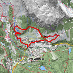
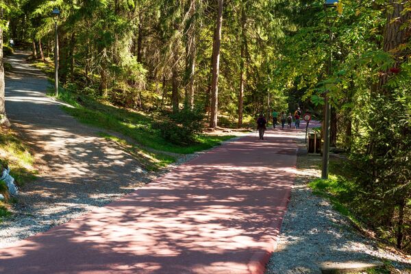
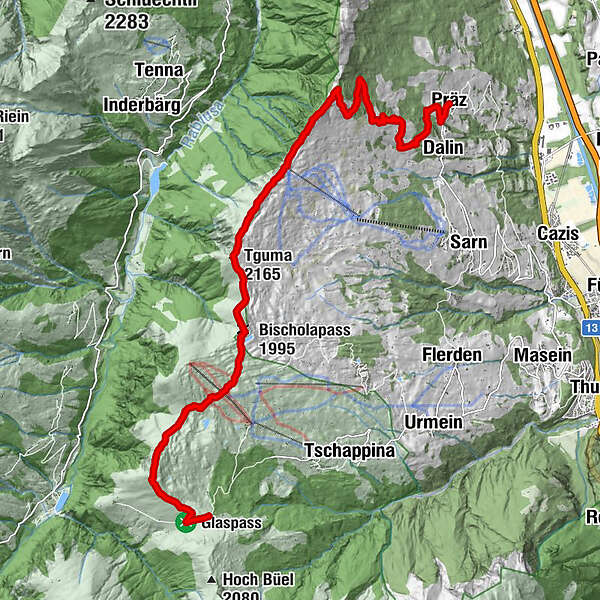
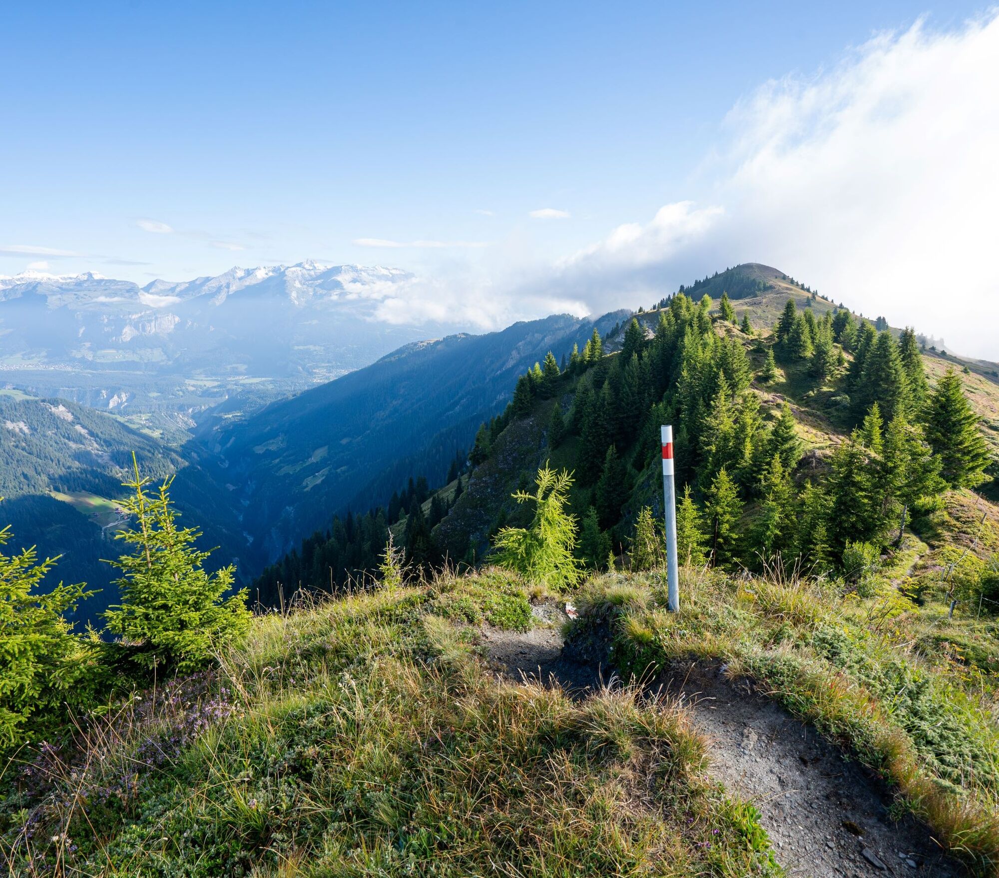
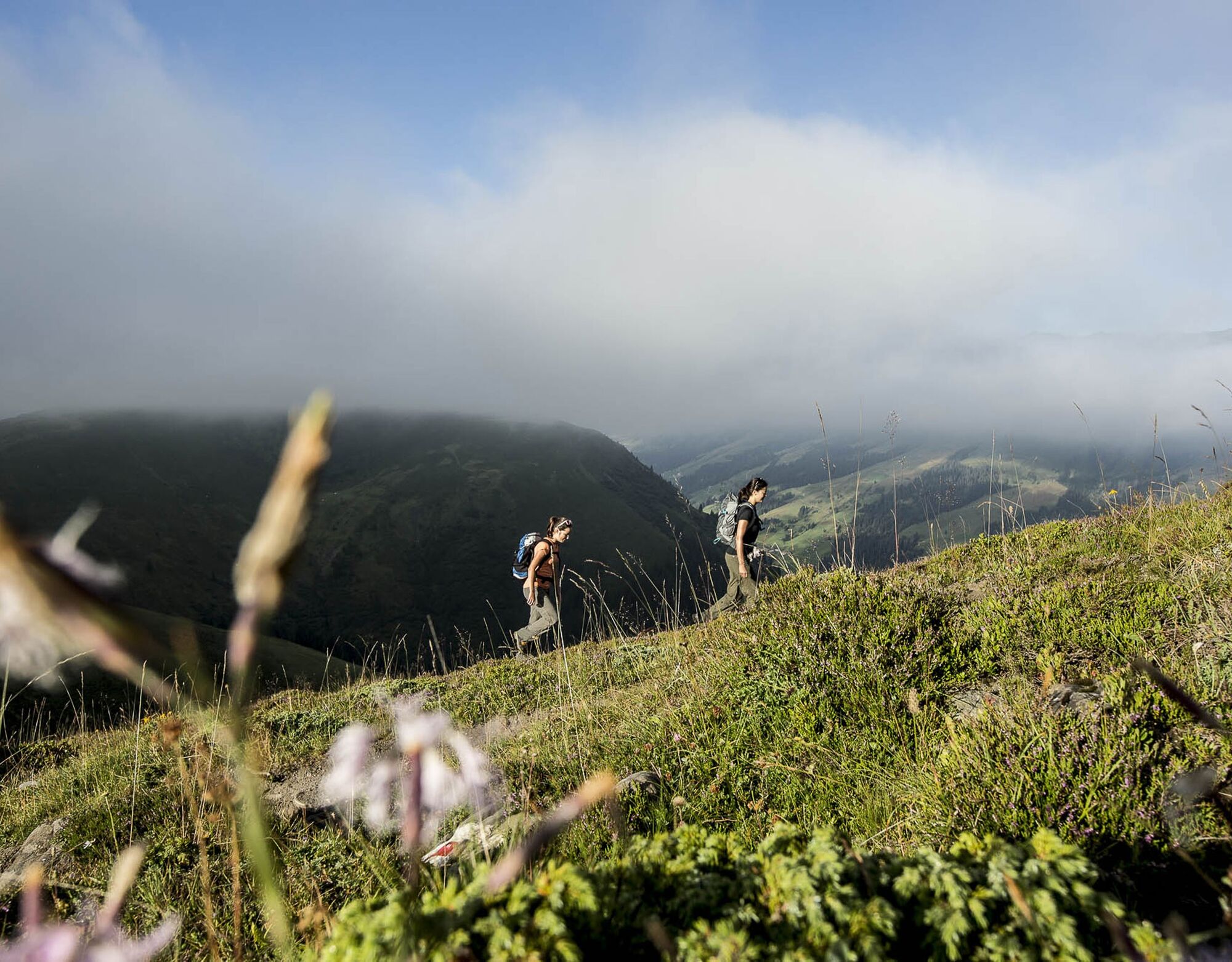
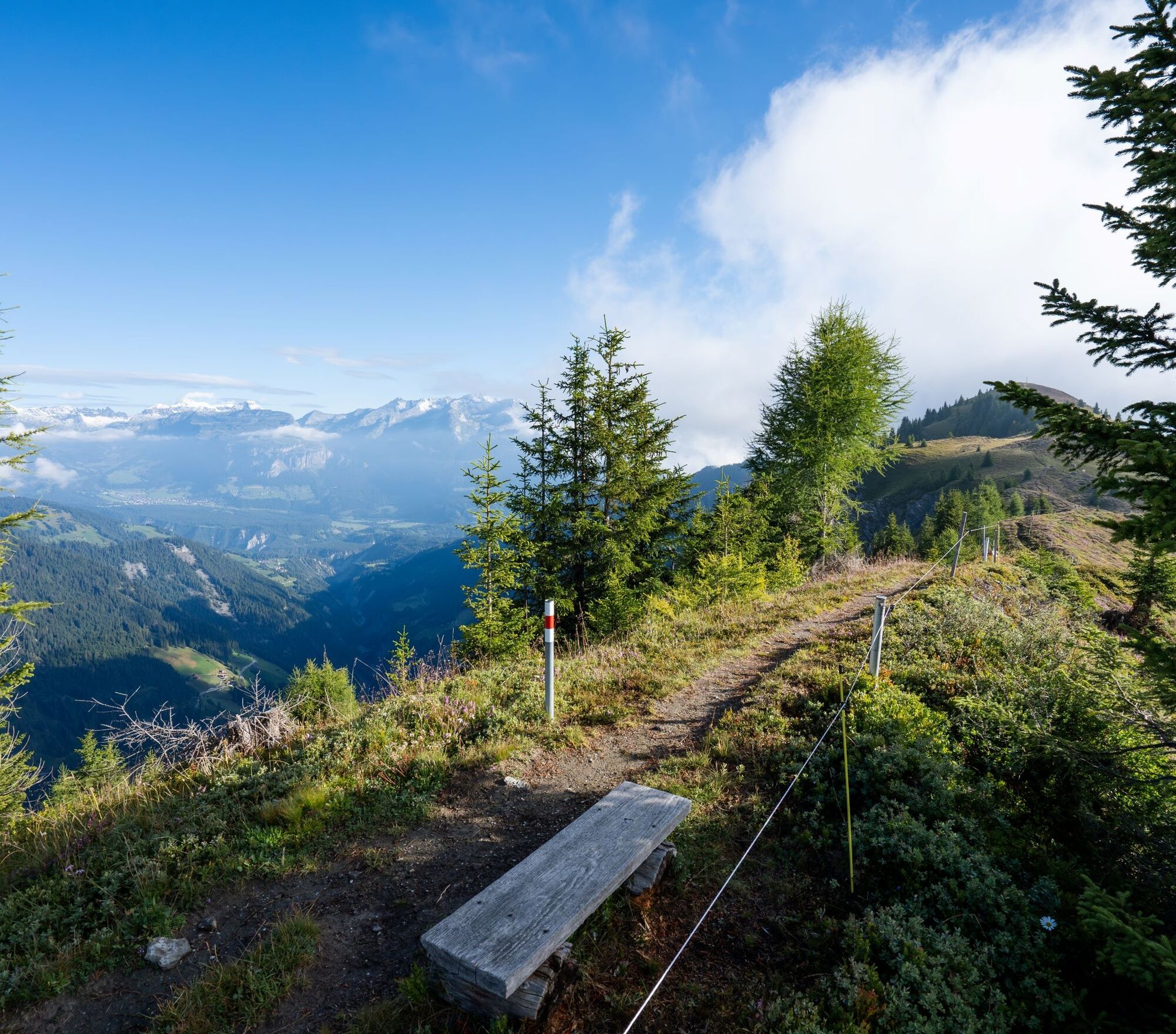
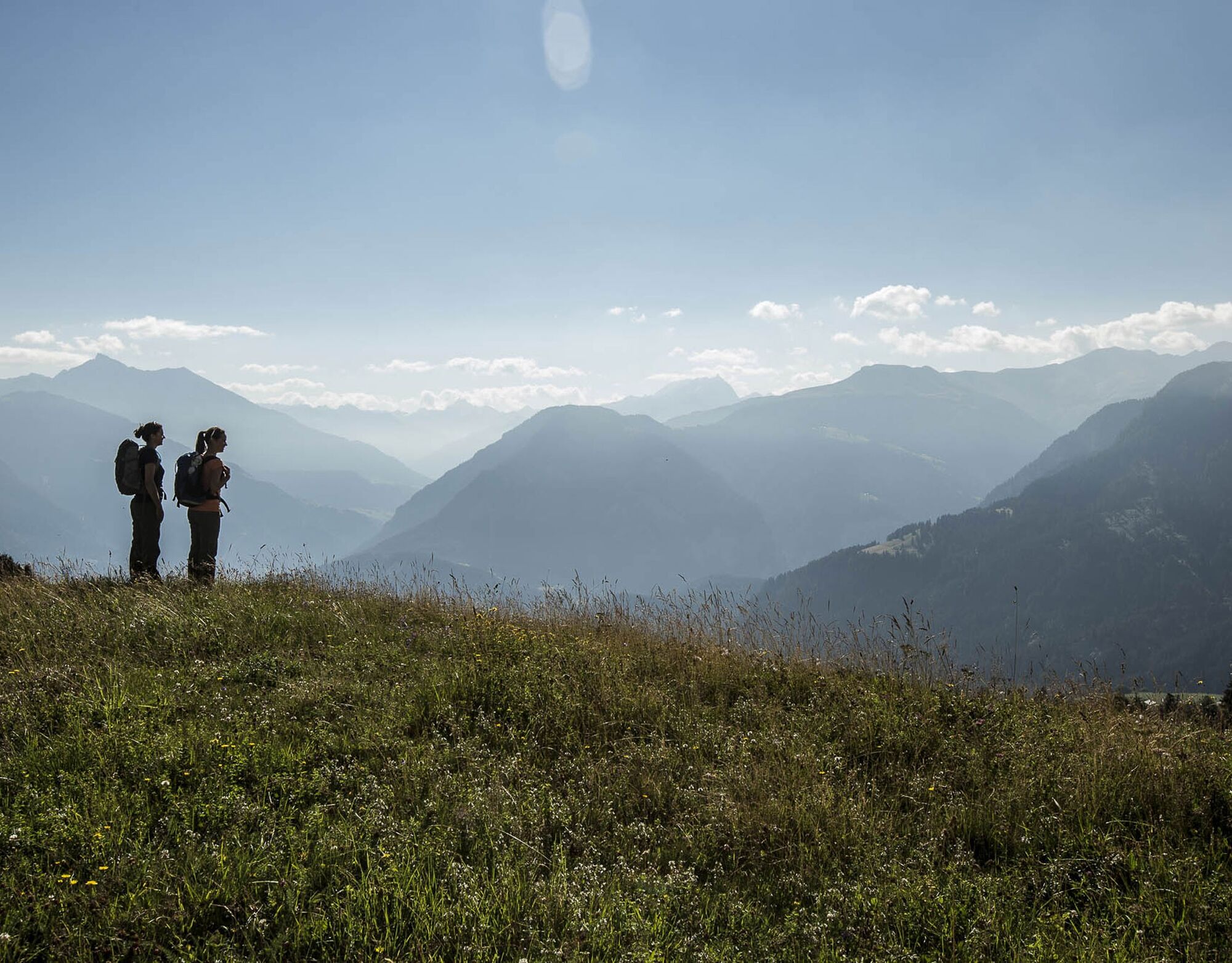
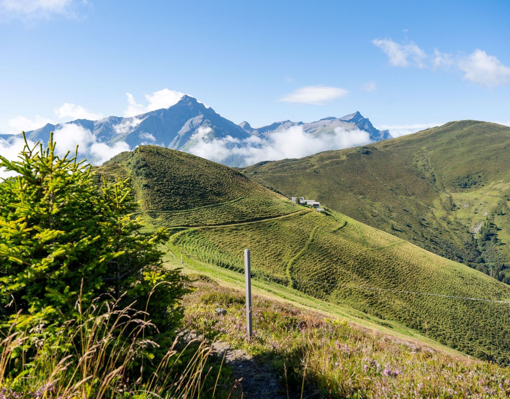
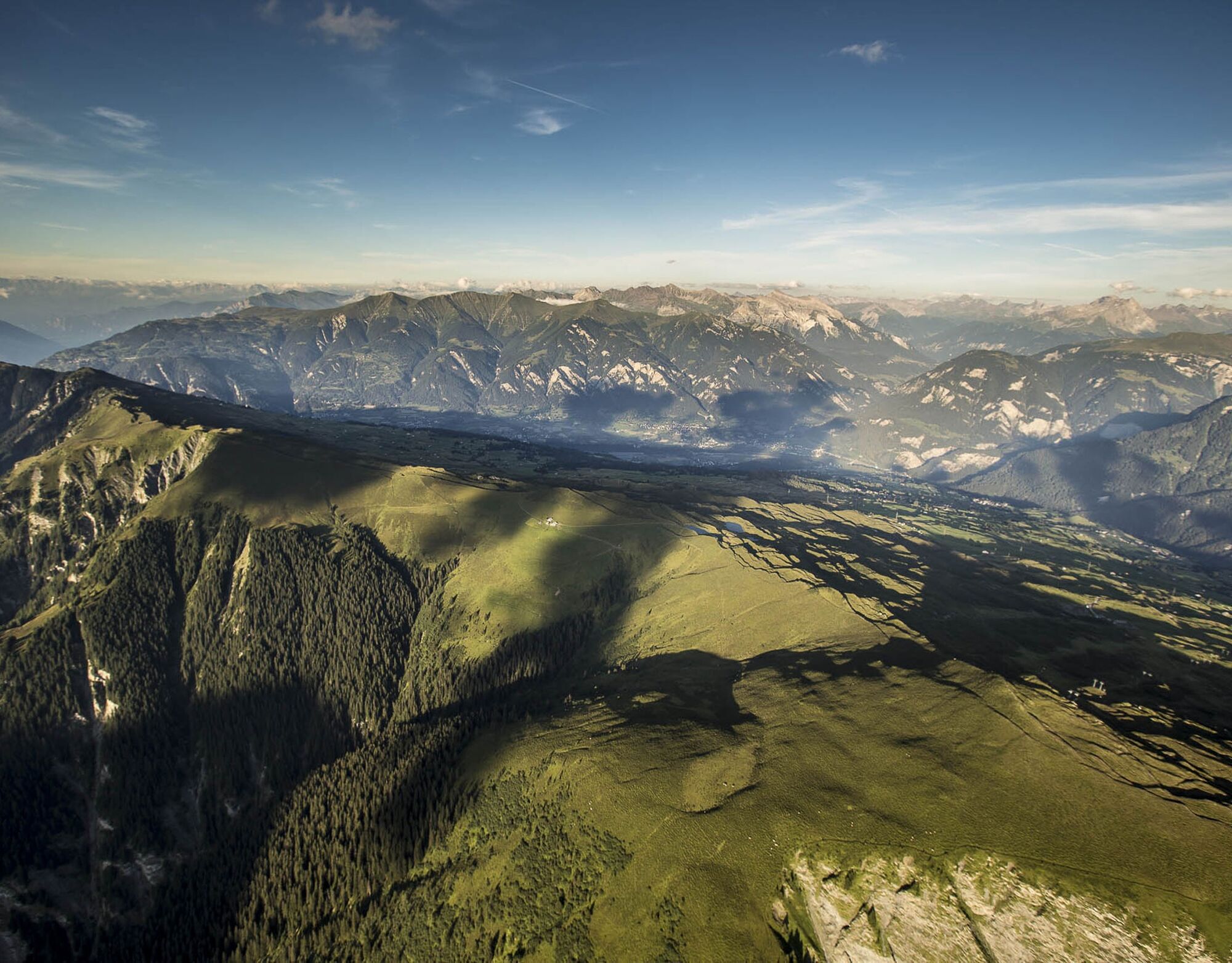
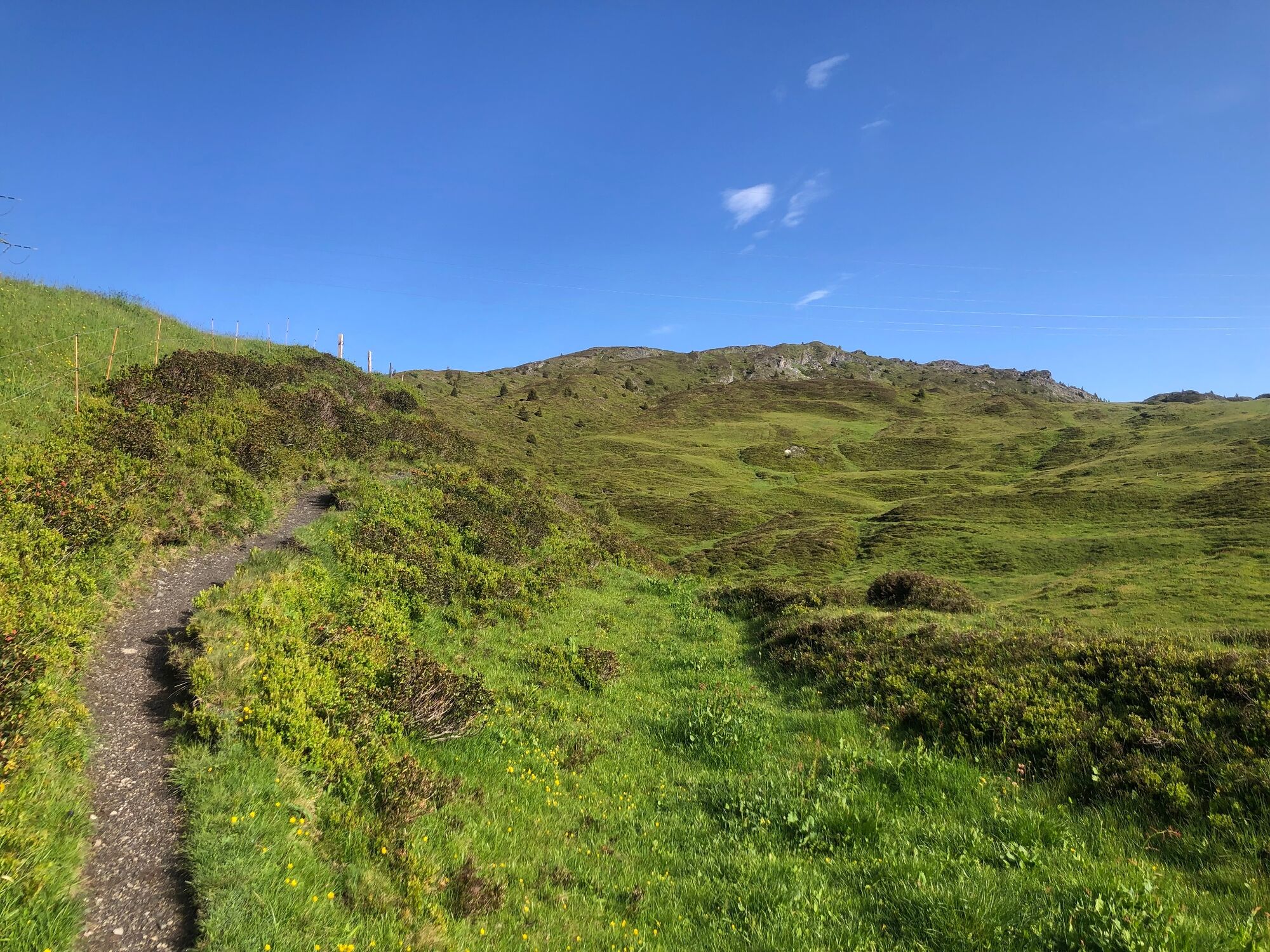
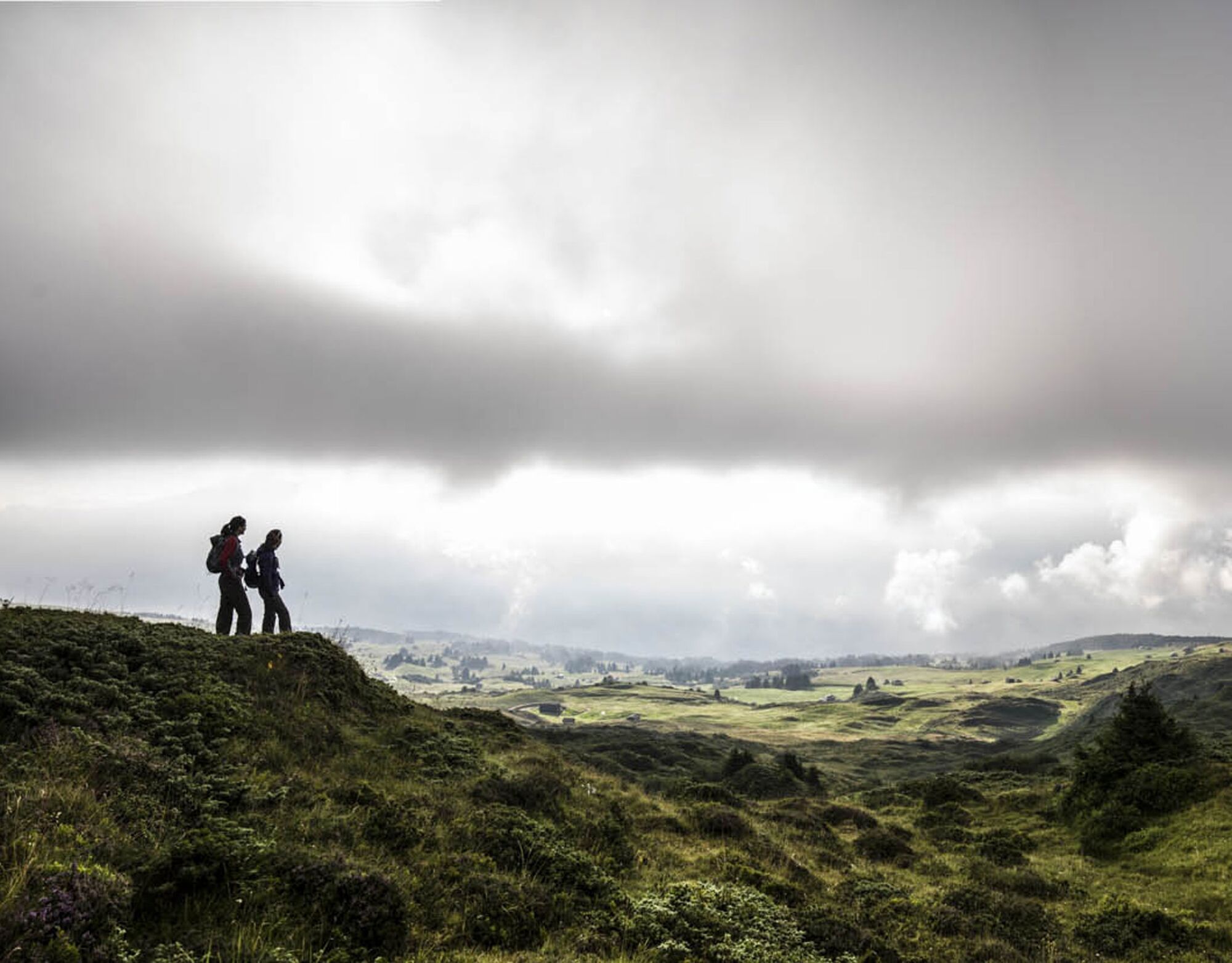
The area's most beautiful and delightful hike over the mountain ridge that links the Heinzenberg with the Safien valley, offering spectacular views of both valleys.
- Teškoća
-
srednje
- Vrednovanje
-
- Wegverlauf
-
Usser Glas0,3 kmBerggasthaus Beverin0,5 kmBischolapass (1.995 m)5,3 kmAlp Bischola5,5 kmTguma (2.165 m)6,7 kmPräzer Höhi9,5 kmPräzer Alp10,9 kmDalin14,6 kmPräz (1.205 m)15,9 km
- Beste Jahreszeit
-
sijveljožutrasvilipsrpkolrujlisstupro
- Höchster Punkt
- 2.156 m
- Zielpunkt
-
Präz
- Höhenprofil
-
 © outdooractive.com
- Autor
-
Die Tour Heinzenberg Ridge Hike wird von outdooractive.com bereitgestellt.
GPS Downloads


Opće informacije
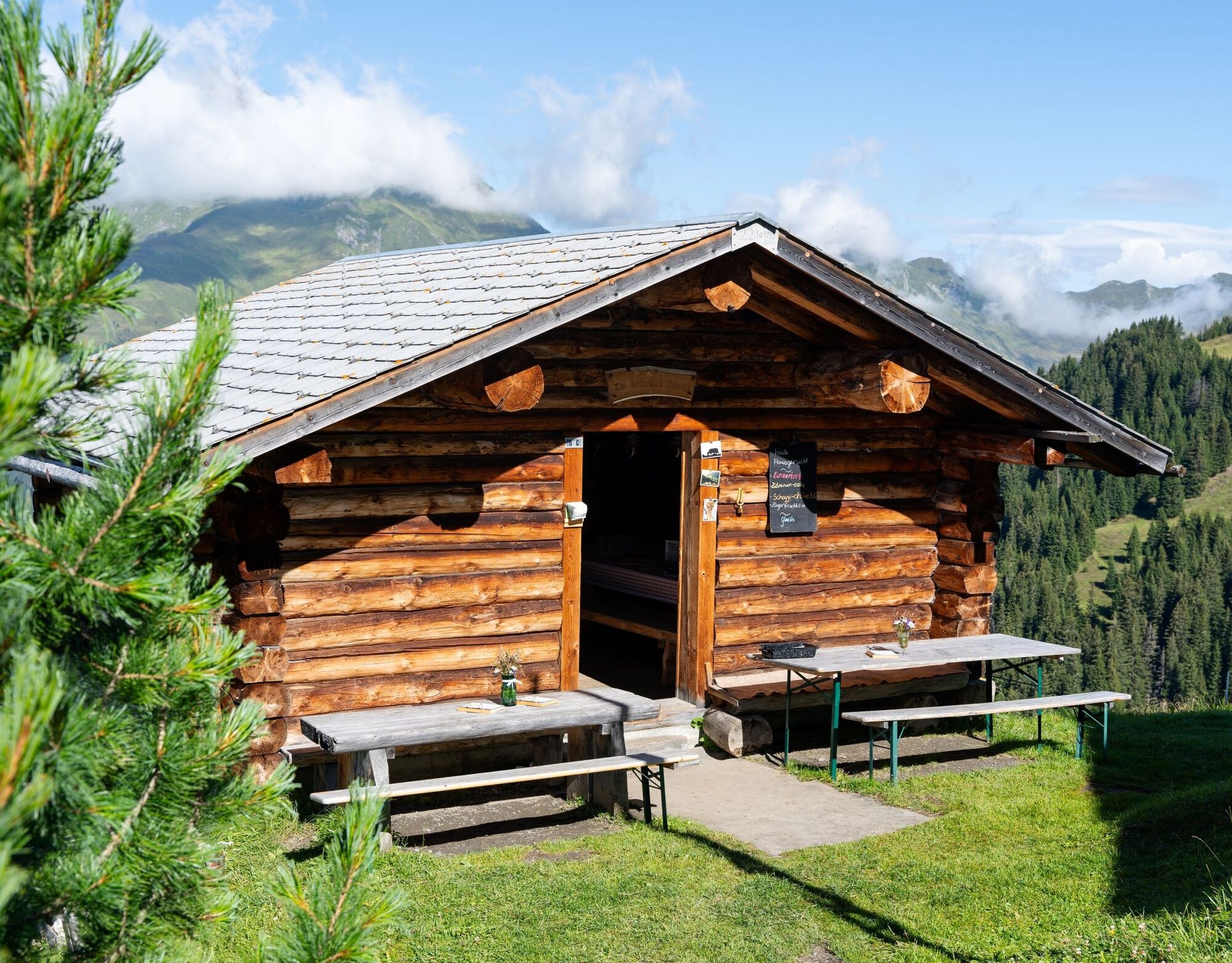
Einkehrmöglichkeit
Flora
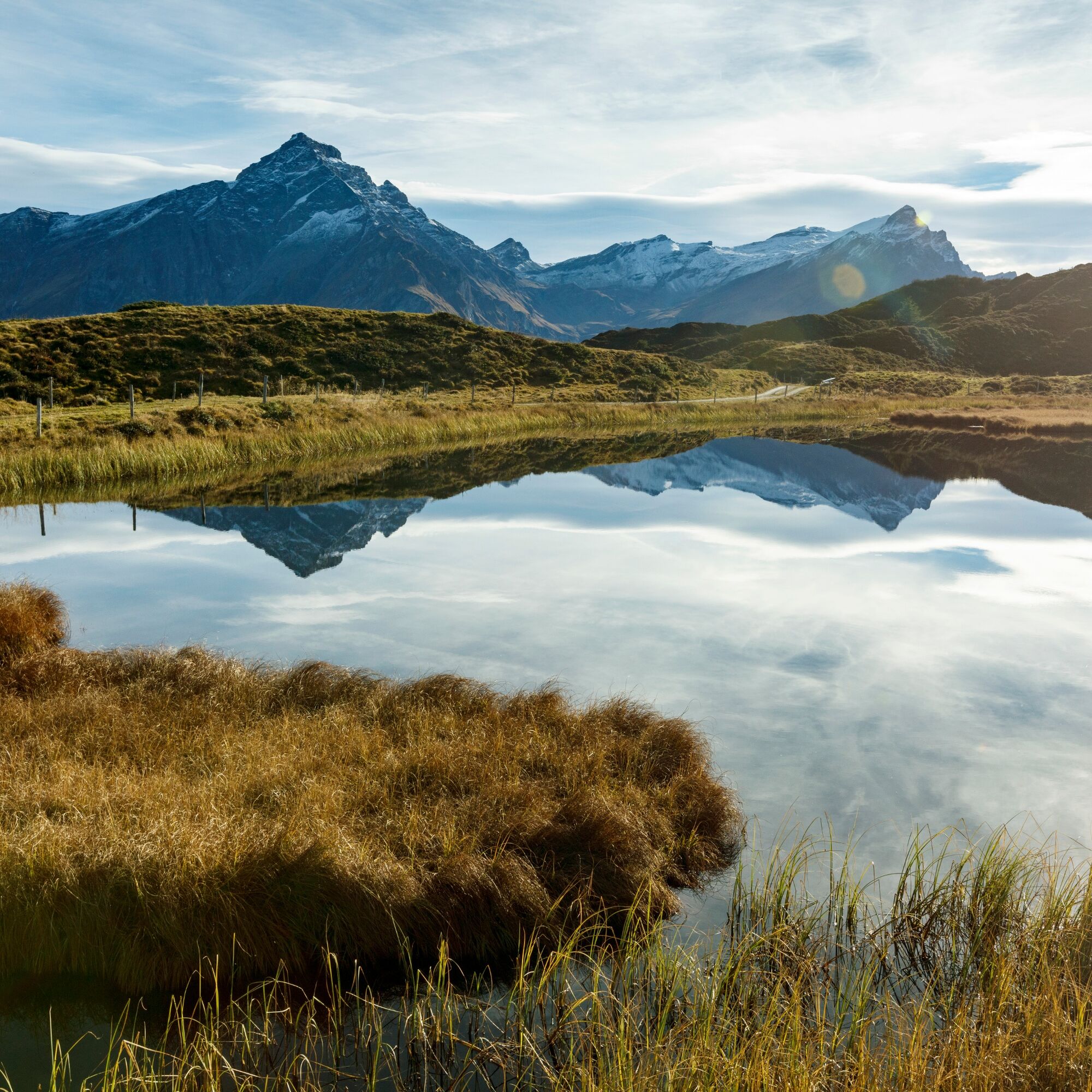
Aussichtsreich
Weitere Touren in den Regionen
-
Glarnerland
1972
-
Safiental
717
-
Cazis
242